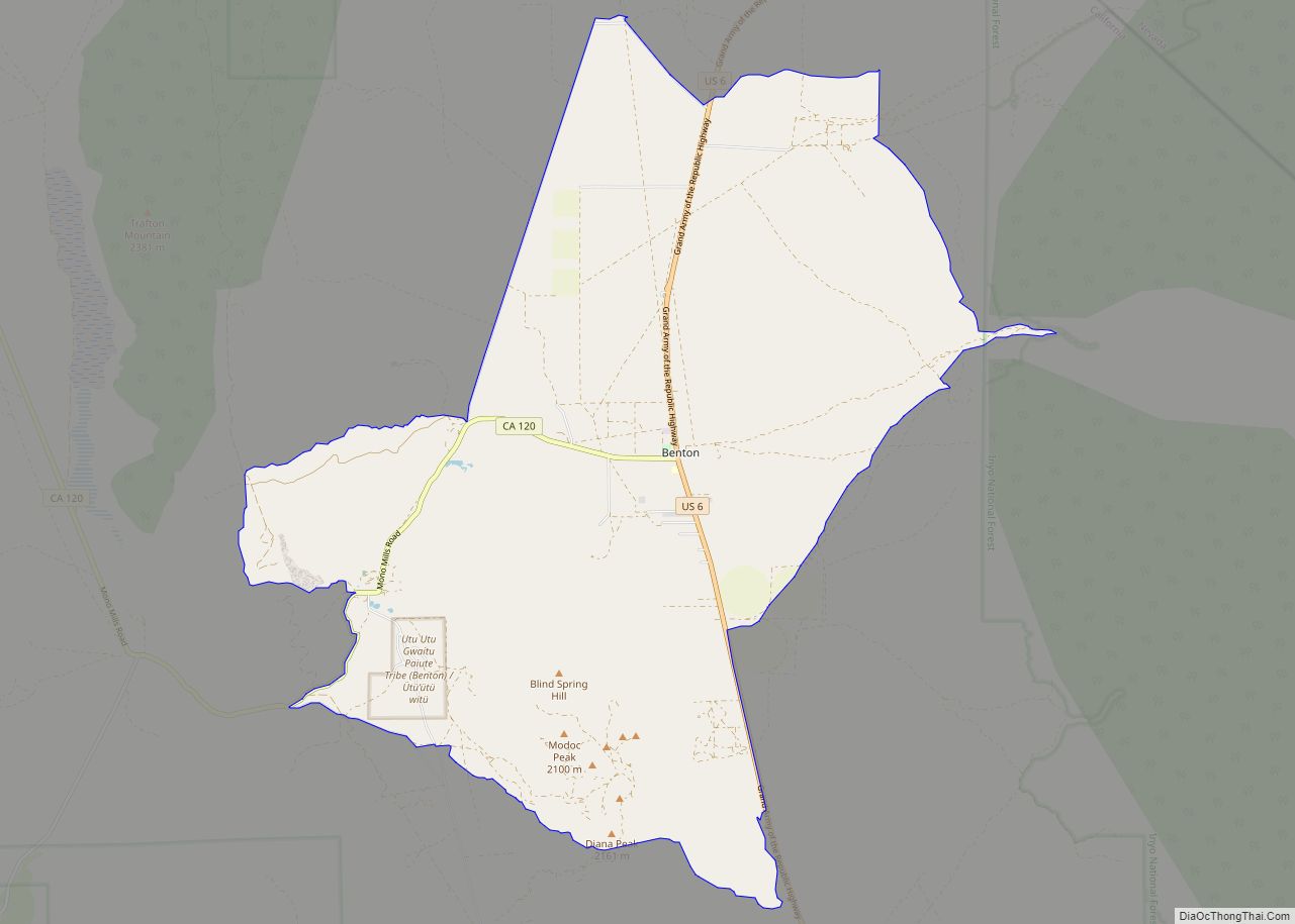
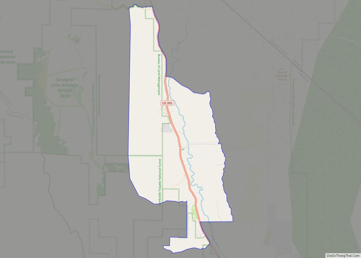
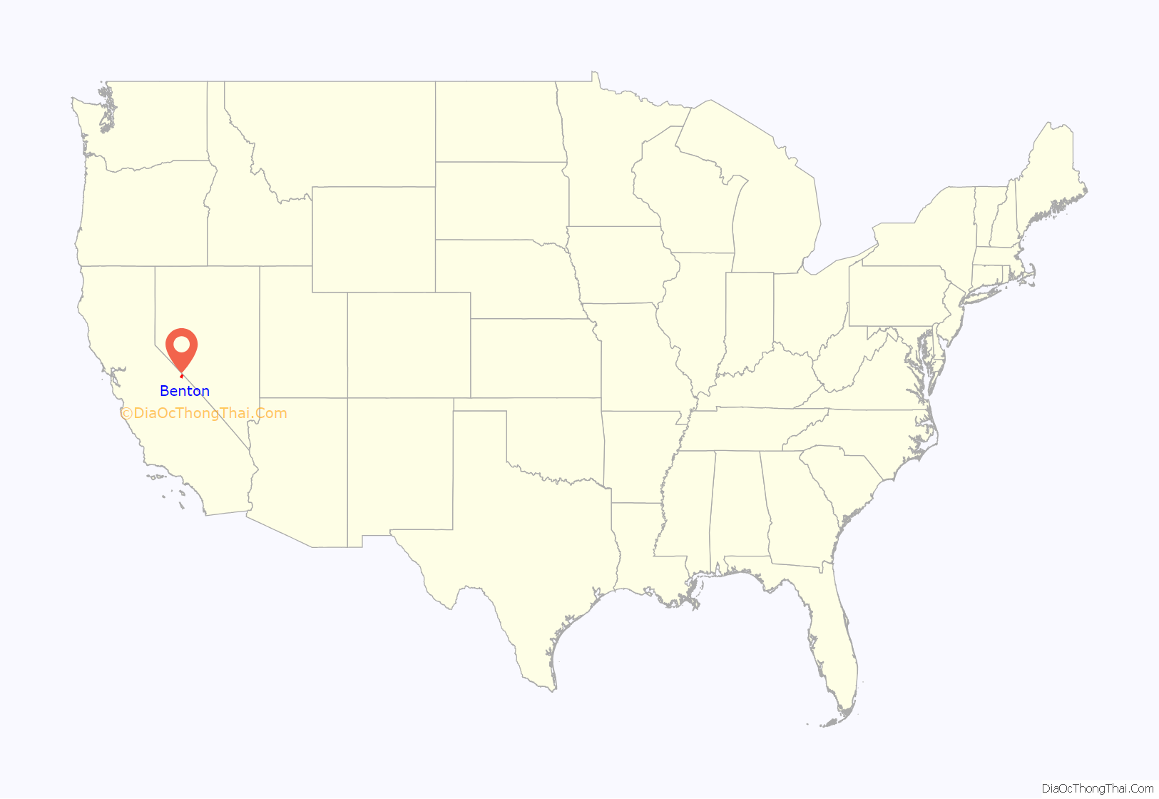
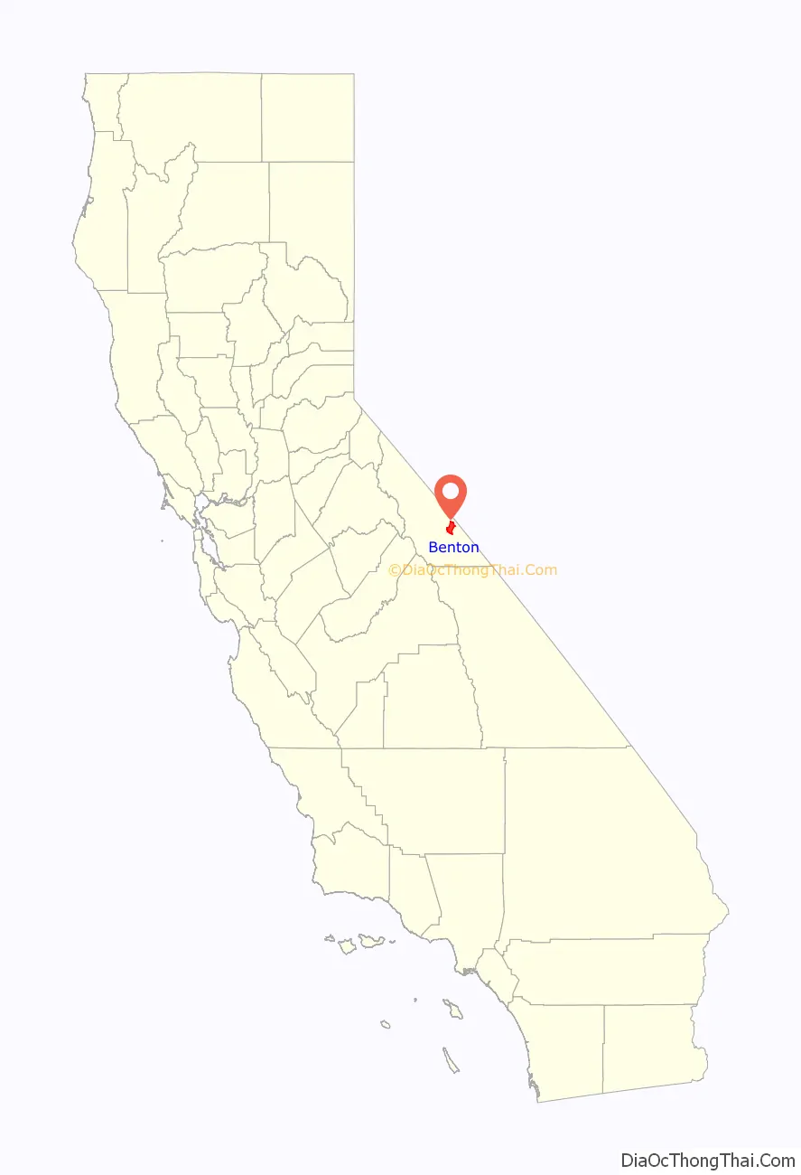
Benton (formerly Benton Station) is a census-designated place (CDP) in Mono County, California, United States. It includes the unincorporated communities of Benton and Benton Hot Springs and is 32 miles (51 km) north of the community of Bishop, at an elevation of 5,387 feet (1,642 m). The population of the CDP was 279 at the 2020 census.
Benton is in area codes 442 and 760 and ZIP code 93512. It was once a small mining town with up to 5,000 inhabitants. Many of the original buildings remain, and the town has never completely died.
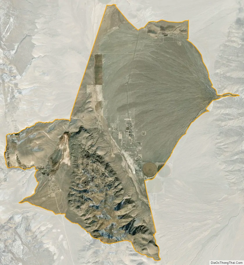
The 160 acre (65 hectare) Benton Paiute Reservation, with about 50 full-time residents, is in the southwest part of the CDP, less than a mile south of Benton Hot Springs.
| Name: | Benton CDP |
|---|---|
| LSAD Code: | 57 |
| LSAD Description: | CDP (suffix) |
| State: | California |
| County: | Mono County |
| Elevation: | 5,387 ft (1,642 m) |
| Total Area: | 28.49 sq mi (73.79 km²) |
| Land Area: | 28.47 sq mi (73.73 km²) |
| Water Area: | 0.02 sq mi (0.05 km²) 0.07% |
| Total Population: | 279 |
| Population Density: | 9.8/sq mi (3.8/km²) |
| ZIP code: | 93512 |
| FIPS code: | 0605346 |
Online Interactive Map
Click on ![]() to view map in "full screen" mode.
to view map in "full screen" mode.
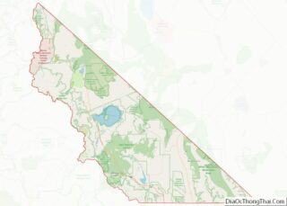
Benton location map. Where is Benton CDP?
History
Benton is one of the oldest existing towns in Mono County. Benton was founded by the western Indians who came to make use of its hot springs. As the nearby towns of Bodie and Aurora grew in size and population, Benton soon became a checkpoint for southbound travelers in 1852.
Gold was discovered in the hills of Benton in 1862, and its population quickly grew. After the initial gold strike, little more was found. Benton’s profits were soon primarily from silver. Unlike other mining towns, Benton was able to provide enough for the town to thrive and flourish for approximately 50 years. Although most mining activity occurred between 1862 and 1890, the town never completely collapsed.
The Carson and Colorado Railroad reached Benton in 1883.
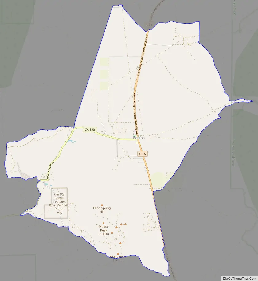
Benton Road Map
Benton city Satellite Map
Geography
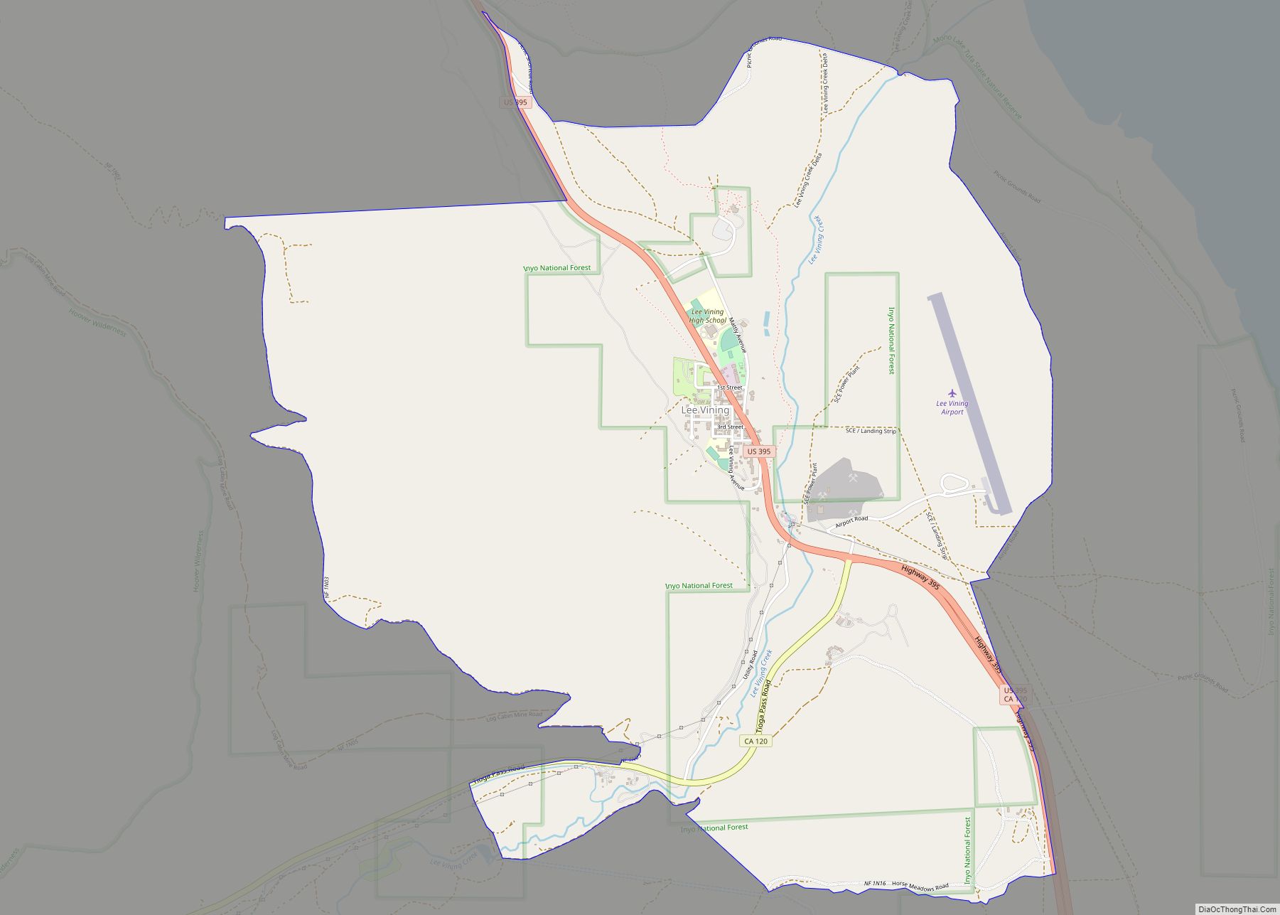
Benton lies along U.S. Route 6 outside of Bishop, en route to remote areas of Nevada. The terrain is described as high desert at an elevation of 5,377 feet (1,639 m) above sea level. California State Route 120 has its eastern terminus at US 6 in Benton. It leads southwest 4 miles (6 km) to the Benton Hot Springs part of the CDP, then continues west 41 miles (66 km) to U.S. Route 395 near Lee Vining.
The Nevada state line is about 6 miles (10 km) northeast of Benton. US Route 6 crosses this border, then climbs over 7,150-foot (2,180 m) Montgomery Pass at the northern end of the White Mountains. Benton has excellent views to the east of 13,141-foot (4,005 m) Boundary Peak, Nevada’s highest, and 13,441-foot (4,097 m) Montgomery Peak just next to it in California.
According to the United States Census Bureau, the CDP covers an area of 28.5 square miles (74 km), 99.93% of it land, and 0.07% of it water. It is primarily in the Benton Valley, drained to the south by Spring Canyon Creek, leading to the Hammil Valley and eventually to the Owens Valley. Benton Hot Springs, in the southwest part of the CDP, is in Blind Spring Valley, which drains northeast to Benton proper.
See also
Map of California State and its subdivision:- Alameda
- Alpine
- Amador
- Butte
- Calaveras
- Colusa
- Contra Costa
- Del Norte
- El Dorado
- Fresno
- Glenn
- Humboldt
- Imperial
- Inyo
- Kern
- Kings
- Lake
- Lassen
- Los Angeles
- Madera
- Marin
- Mariposa
- Mendocino
- Merced
- Modoc
- Mono
- Monterey
- Napa
- Nevada
- Orange
- Placer
- Plumas
- Riverside
- Sacramento
- San Benito
- San Bernardino
- San Diego
- San Francisco
- San Joaquin
- San Luis Obispo
- San Mateo
- Santa Barbara
- Santa Clara
- Santa Cruz
- Shasta
- Sierra
- Siskiyou
- Solano
- Sonoma
- Stanislaus
- Sutter
- Tehama
- Trinity
- Tulare
- Tuolumne
- Ventura
- Yolo
- Yuba
- Alabama
- Alaska
- Arizona
- Arkansas
- California
- Colorado
- Connecticut
- Delaware
- District of Columbia
- Florida
- Georgia
- Hawaii
- Idaho
- Illinois
- Indiana
- Iowa
- Kansas
- Kentucky
- Louisiana
- Maine
- Maryland
- Massachusetts
- Michigan
- Minnesota
- Mississippi
- Missouri
- Montana
- Nebraska
- Nevada
- New Hampshire
- New Jersey
- New Mexico
- New York
- North Carolina
- North Dakota
- Ohio
- Oklahoma
- Oregon
- Pennsylvania
- Rhode Island
- South Carolina
- South Dakota
- Tennessee
- Texas
- Utah
- Vermont
- Virginia
- Washington
- West Virginia
- Wisconsin
- Wyoming