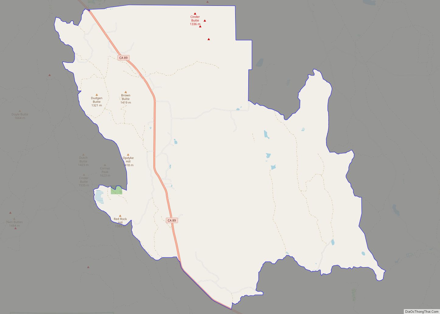
Big Bend of the Madesi Valley is a census-designated place (CDP) and the indigenous homeland of Madesi tribe, located in Shasta County, northeastern California. It is named for a major change in course of the Pit River.
Its population is 79 as of the 2020 census, down from 102 from the 2010 census.
| Name: | Big Bend CDP |
|---|---|
| LSAD Code: | 57 |
| LSAD Description: | CDP (suffix) |
| State: | California |
| County: | Shasta County |
| Elevation: | 1,701 ft (514 m) |
| Total Area: | 5.82 sq mi (15.08 km²) |
| Land Area: | 5.74 sq mi (14.85 km²) |
| Water Area: | 0.09 sq mi (0.23 km²) 1.53% |
| Total Population: | 79 |
| Population Density: | 13.78/sq mi (5.32/km²) |
| ZIP code: | 96011 |
| Area code: | 530 |
| FIPS code: | 0606475 |
| GNISfeature ID: | 0256886 |
Online Interactive Map
Click on ![]() to view map in "full screen" mode.
to view map in "full screen" mode.
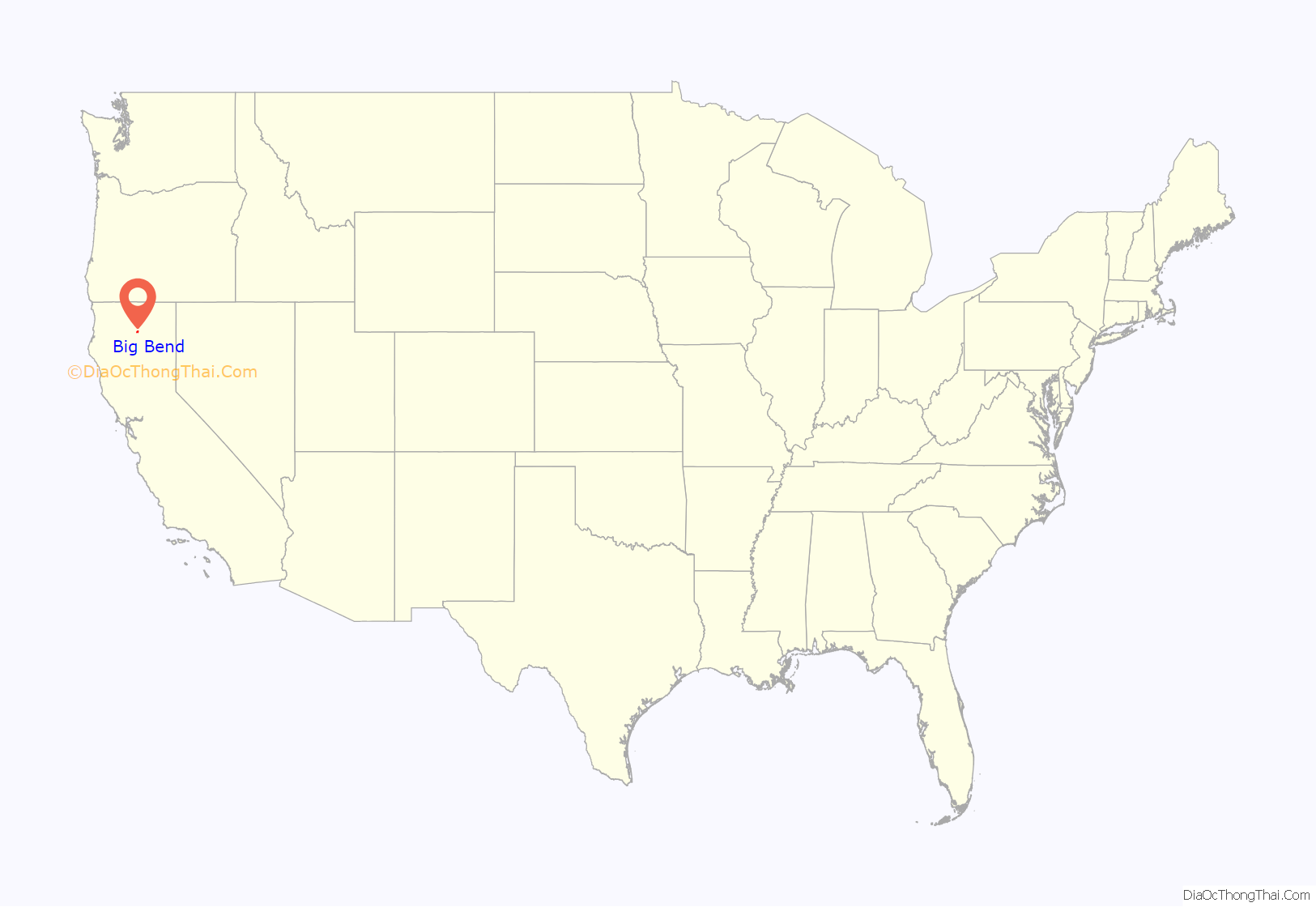
Big Bend location map. Where is Big Bend CDP?
History
Native Americans
For several thousand years prior to the 19th century, Big Bend was the heart of the territory of the Madesi tribe (pronounced Mah-day-see) tribe (or “band”) of Pit River Native Americans. The Madesi is one of nine bands (also called “tribelets”) that spoke the Achomawi language. (Early anthropologists mistakenly called all nine bands in the language group “Achomawi,” although only one of the bands was actually called Achomawi.)
The Madesi band’s territorial region included Big Bend and the surrounding area of the Lower Pit River (Ah-choo’-mah in the Madesi dialect, which has few or no speakers still living), and several of its tributaries, such as Kosk Creek (An-noo-che’che) and Nelson Creek (Ah-lis’choo’-chah). The main village of the Madesi was on the north bank of the Pit River, east of Kosk Creek, and was called Mah-dess’, or Mah-dess’ Atjwam (Madesi Valley), and was directly across the river from the smaller villages that surrounded the hot springs on the river’s south bank, which were called Oo-le’-moo-me, Lah’-lah-pis’-mah, and Al-loo-satch-ha.
The Madesi people enjoyed great abundance of food sources, which mainly consisted of acorns, deer, salmon, and other fish from the river.
Euro-American settlers
The Big Bend area is so remote and isolated that the Madesi was one of the last indigenous peoples of California to be invaded and pushed out of their ancestral homeland.
As white settlers began to come to Big Bend in the 1860s, few Madesi were left in the area, and the newcomers began to rightly claim the conquered land as their own. By the 1890s, Big Bend was becoming a small quiet town of white settlers, centered around the hot springs. It was originally called Elena (1890) by the Euro-Americans settlers, and then changed to Henderson, (1906) before they began calling it “Big Bend” (1922).
Early white settlers built a log hotel with a post office and a saloon just above the main hot springs. Many visitors around the turn of the 20th-century came to Big Bend to soak in the hot springs, seeking the reputed healing qualities of the hot mineral water baths.
Big Bend grew slowly until the late 1930s, when Pacific Gas and Electric Company began construction on the Pit Five Hydroelectric Dam and Pit Five Power House. The dam construction brought thousands of jobs and people to Big Bend. This included engineers, builders, tunnel diggers (around 2000 hard-rock miners), and service workers to the area. Big Bend saw a “boom and bust” cycle, and the population was declining by the late 1940s, after the dam work was completed. Although the maintenance of the hydroelectric facilities and a large commercial logging industry still require numerous employees, almost all of the people working in such jobs live outside of Big Bend, contributing further to the population decline.
The population of Big Bend was only 102 people in the 2010 census, apparently the lowest number of residents since the 1860s.
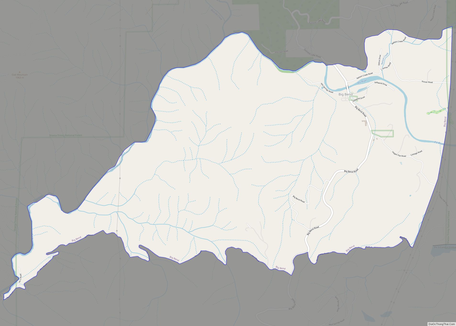
Big Bend Road Map
Big Bend city Satellite Map
Geography
Big Bend is located at 41°1′11″N 121°54′28″W / 41.01972°N 121.90778°W / 41.01972; -121.90778 (41.019803, -121.907881).
The community is situated on a long bend in the Pit River which is the longest tributary to the Sacramento River. The Pit River (traditionally called Achoma) is one of only three rivers that crosses the Cascades mountain range and drains into the Pacific Ocean. Before the dams were built, the Pit River hosted the third largest Salmon run on the west coast of the US. From Big Bend is a striking view of Chalk Mountain (called Too-le-pah-ah-te Ah-ko by the Madesi tribe) which has a natural exposed slide feature of diatomaceous earth. The slide is locally called the “White Buffalo,” since it resembles a white bison. Another prominent mountain hovering over the town of Big Bend is called Bald Peak (called Ma-how-mah-day Ah-ko by the Madesi tribe), which has dozens of cold water springs, creating numerous creeks that feed into the Pit River, a spring-fed, or a “free stone” river.
According to the United States Census Bureau, the CDP has a total area of 5.8 square miles (15 km), 98.47% of it land and 1.53% of it water.
See also
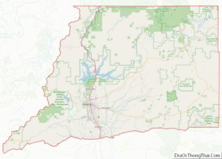
Map of California State and its subdivision:- Alameda
- Alpine
- Amador
- Butte
- Calaveras
- Colusa
- Contra Costa
- Del Norte
- El Dorado
- Fresno
- Glenn
- Humboldt
- Imperial
- Inyo
- Kern
- Kings
- Lake
- Lassen
- Los Angeles
- Madera
- Marin
- Mariposa
- Mendocino
- Merced
- Modoc
- Mono
- Monterey
- Napa
- Nevada
- Orange
- Placer
- Plumas
- Riverside
- Sacramento
- San Benito
- San Bernardino
- San Diego
- San Francisco
- San Joaquin
- San Luis Obispo
- San Mateo
- Santa Barbara
- Santa Clara
- Santa Cruz
- Shasta
- Sierra
- Siskiyou
- Solano
- Sonoma
- Stanislaus
- Sutter
- Tehama
- Trinity
- Tulare
- Tuolumne
- Ventura
- Yolo
- Yuba
- Alabama
- Alaska
- Arizona
- Arkansas
- California
- Colorado
- Connecticut
- Delaware
- District of Columbia
- Florida
- Georgia
- Hawaii
- Idaho
- Illinois
- Indiana
- Iowa
- Kansas
- Kentucky
- Louisiana
- Maine
- Maryland
- Massachusetts
- Michigan
- Minnesota
- Mississippi
- Missouri
- Montana
- Nebraska
- Nevada
- New Hampshire
- New Jersey
- New Mexico
- New York
- North Carolina
- North Dakota
- Ohio
- Oklahoma
- Oregon
- Pennsylvania
- Rhode Island
- South Carolina
- South Dakota
- Tennessee
- Texas
- Utah
- Vermont
- Virginia
- Washington
- West Virginia
- Wisconsin
- Wyoming
