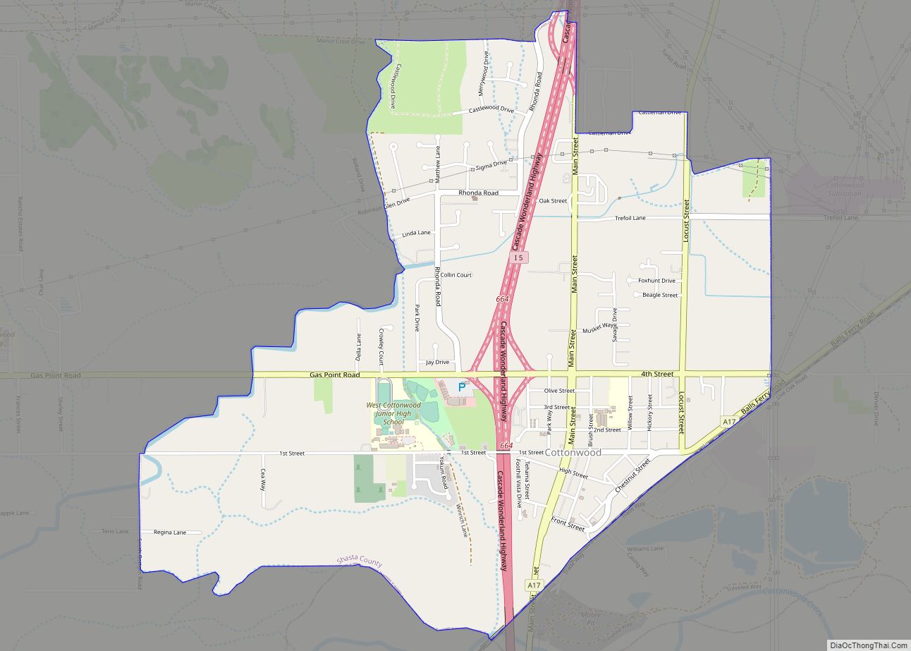
Cottonwood is a census-designated place (CDP) in Shasta County, California, United States. Its population is 6,268 as of the 2020 census, up from 3,316 from the 2010 census. Cottonwood was a stagecoach town where a settlement was established in 1849. The first Post Office was opened in 1852. Cottonwood is equidistant between Redding and Red Bluff, 15 miles (24 km) in either direction. It is 4 miles (6.4 km) south of Anderson.
In the spring of 1997 Hollywood came to this small, quiet town to film Almost Heroes starring Matthew Perry and Chris Farley. It was Farley’s last film.
In the summer of 1961, parts of Hell Is for Heroes, starring Steve McQueen, were shot in and around Cottonwood. Bob Newhart made his debut appearance in this film.
| Name: | Cottonwood CDP |
|---|---|
| LSAD Code: | 57 |
| LSAD Description: | CDP (suffix) |
| State: | California |
| County: | Shasta County |
| Elevation: | 420 ft (132 m) |
| Total Area: | 13.22 sq mi (34.25 km²) |
| Land Area: | 13.22 sq mi (34.25 km²) |
| Water Area: | 0.00 sq mi (0.00 km²) 0% |
| Total Population: | 6,268 |
| Population Density: | 473.95/sq mi (183.00/km²) |
| ZIP code: | 96022 |
| Area code: | 530 |
| FIPS code: | 0616630 |
| GNISfeature ID: | 0277493 |
Online Interactive Map
Click on ![]() to view map in "full screen" mode.
to view map in "full screen" mode.
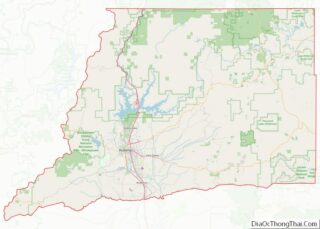
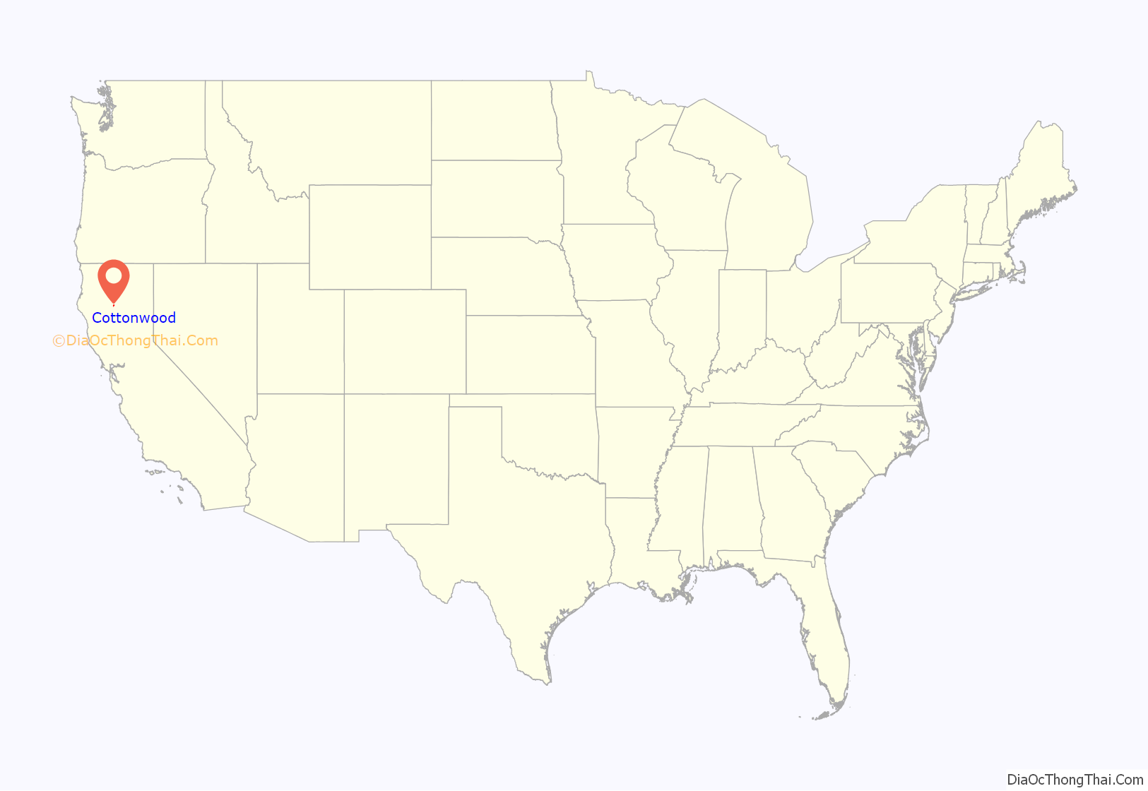
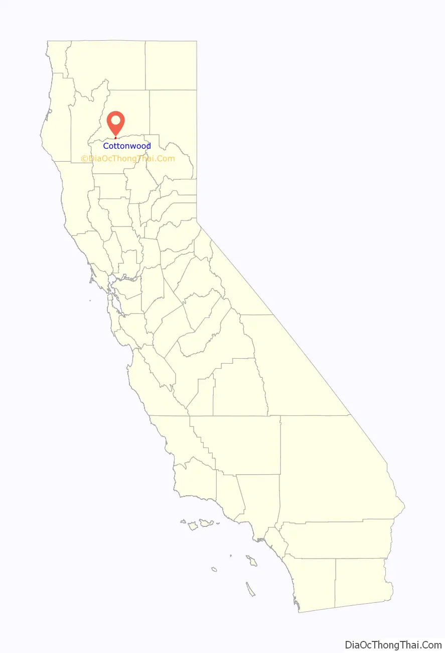
Cottonwood location map. Where is Cottonwood CDP?
Cottonwood Road Map

Cottonwood city Satellite Map

Geography
Cottonwood is located at 40°23′20″N 122°16′55″W / 40.38889°N 122.28194°W / 40.38889; -122.28194 (40.388953, −122.281823).
According to the United States Census Bureau, the CDP has a total area of 2.3 square miles (6.0 km), all of it land.
Cottonwood is located on the north and south bank of Cottonwood Creek, for which it is named.
See also
Map of California State and its subdivision:- Alameda
- Alpine
- Amador
- Butte
- Calaveras
- Colusa
- Contra Costa
- Del Norte
- El Dorado
- Fresno
- Glenn
- Humboldt
- Imperial
- Inyo
- Kern
- Kings
- Lake
- Lassen
- Los Angeles
- Madera
- Marin
- Mariposa
- Mendocino
- Merced
- Modoc
- Mono
- Monterey
- Napa
- Nevada
- Orange
- Placer
- Plumas
- Riverside
- Sacramento
- San Benito
- San Bernardino
- San Diego
- San Francisco
- San Joaquin
- San Luis Obispo
- San Mateo
- Santa Barbara
- Santa Clara
- Santa Cruz
- Shasta
- Sierra
- Siskiyou
- Solano
- Sonoma
- Stanislaus
- Sutter
- Tehama
- Trinity
- Tulare
- Tuolumne
- Ventura
- Yolo
- Yuba
- Alabama
- Alaska
- Arizona
- Arkansas
- California
- Colorado
- Connecticut
- Delaware
- District of Columbia
- Florida
- Georgia
- Hawaii
- Idaho
- Illinois
- Indiana
- Iowa
- Kansas
- Kentucky
- Louisiana
- Maine
- Maryland
- Massachusetts
- Michigan
- Minnesota
- Mississippi
- Missouri
- Montana
- Nebraska
- Nevada
- New Hampshire
- New Jersey
- New Mexico
- New York
- North Carolina
- North Dakota
- Ohio
- Oklahoma
- Oregon
- Pennsylvania
- Rhode Island
- South Carolina
- South Dakota
- Tennessee
- Texas
- Utah
- Vermont
- Virginia
- Washington
- West Virginia
- Wisconsin
- Wyoming