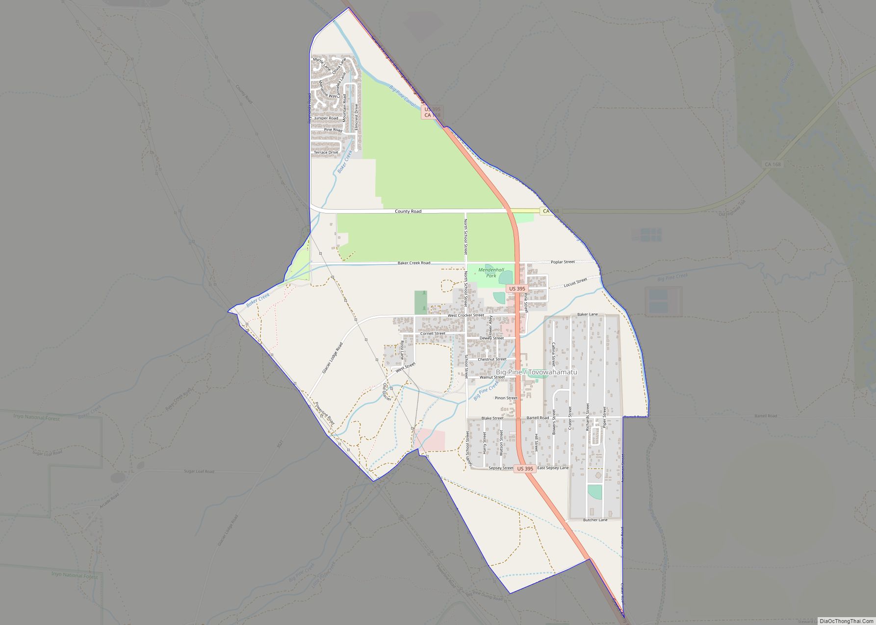
Big Pine (formerly, Bigpine) is a census-designated place (CDP) in Inyo County, California, United States. Big Pine is located approximately 15 miles (24 km) south-southeast of Bishop, at an elevation of 3,989 feet (1,216 m). The population was 1,756 at the 2010 census, up from 1,350 at the 2000 census. The Big Pine Band of Owens Valley Paiute Shoshone Indians of the Big Pine Reservation operates their tribal headquarters from here.
| Name: | Big Pine CDP |
|---|---|
| LSAD Code: | 57 |
| LSAD Description: | CDP (suffix) |
| State: | California |
| County: | Inyo County |
| Elevation: | 3,989 ft (1,216 m) |
| Total Area: | 2.95 sq mi (7.64 km²) |
| Land Area: | 2.95 sq mi (7.64 km²) |
| Water Area: | 0.00 sq mi (0.00 km²) 0.065% |
| Total Population: | 1,875 |
| Population Density: | 635.81/sq mi (245.53/km²) |
| ZIP code: | 93513 |
| FIPS code: | 0606616 |
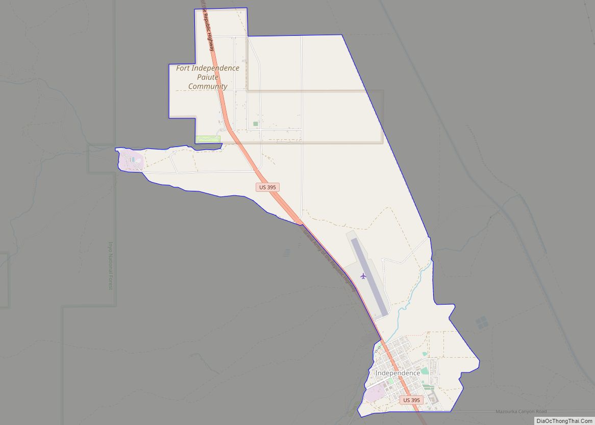
Online Interactive Map
Click on ![]() to view map in "full screen" mode.
to view map in "full screen" mode.
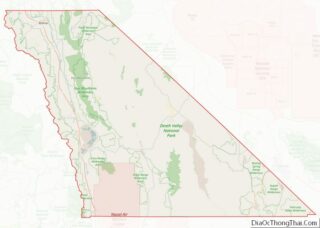
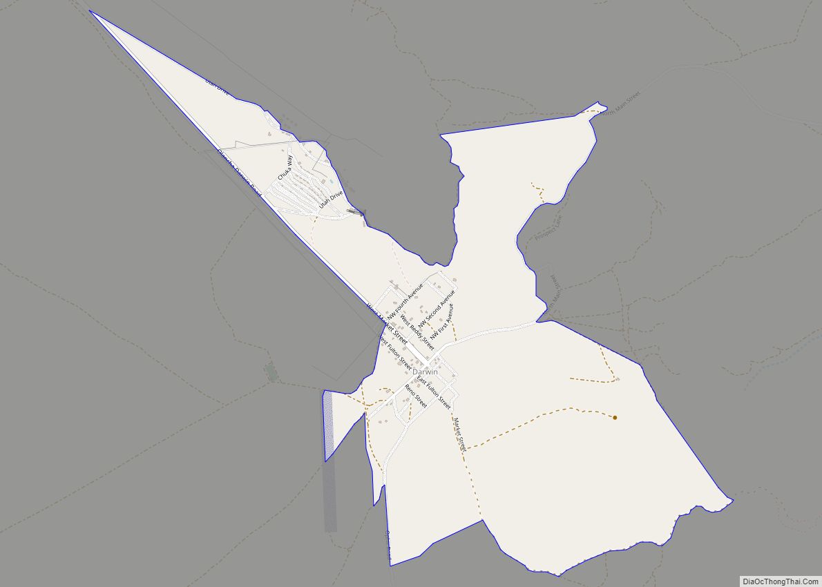
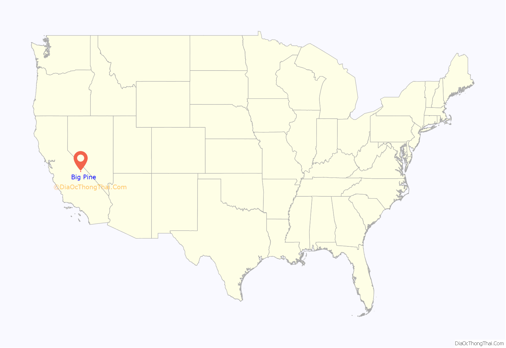
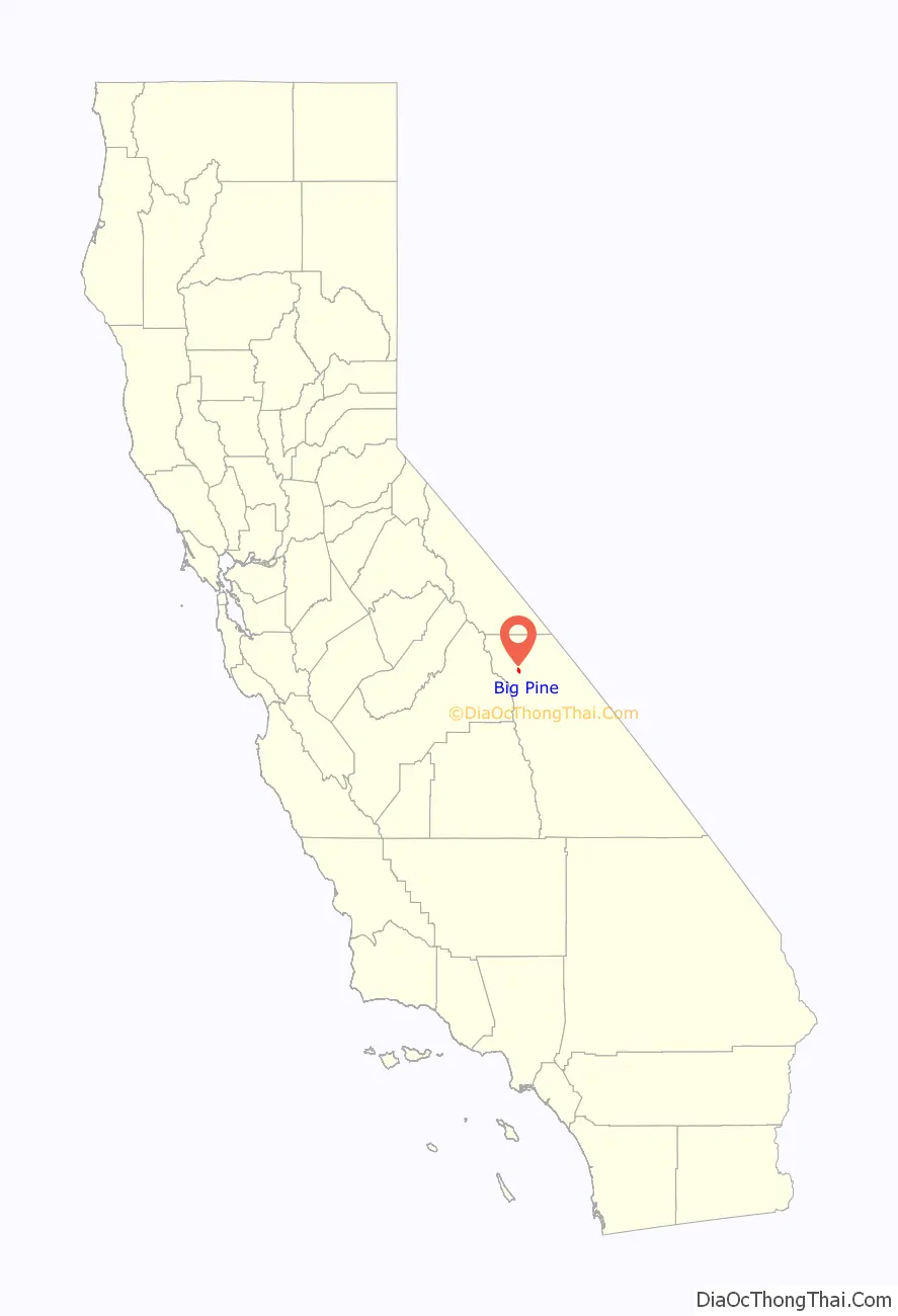
Big Pine location map. Where is Big Pine CDP?
History
The Big Pine post office first opened in 1870, closed for a time during 1877, changed its name to Bigpine in 1895, and reverted to Big Pine in 1962.
Big Pine has a significant geologic feature (an earthquake scarp) related to the 1872 Lone Pine earthquake.
In 1958, the Owens Valley Radio Observatory was established just north of Big Pine.
Matt Williams, a professional baseball player and manager, lived there for part of his life. Hollywood character actor Elisha Cook, Jr., known for such classic films as The Maltese Falcon and Shane, had a home in Big Pine and died here in 1995.
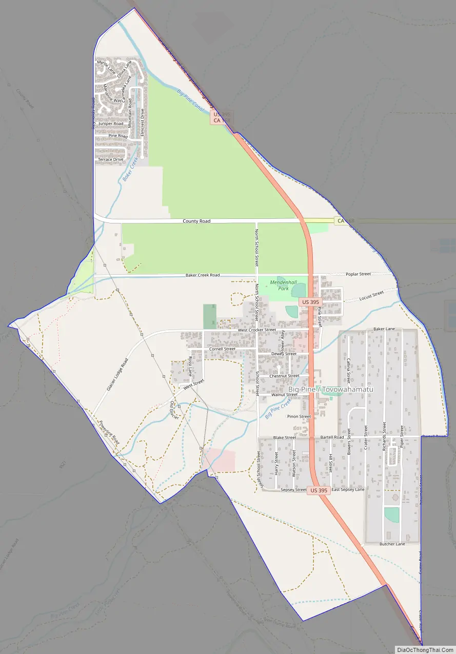
Big Pine Road Map
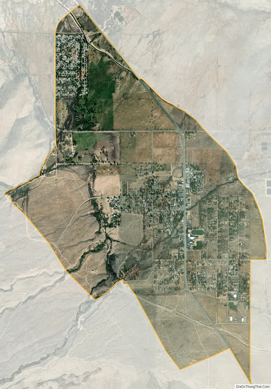
Big Pine city Satellite Map
Geography
Big Pine is located in the Owens Valley of California between the Sierra Nevada and the White Mountains, just west of the Owens River upstream of its diversion into the Los Angeles Aqueduct. It lies on U.S. Route 395, the main north–south artery through the Owens Valley, connecting the Inland Empire to Reno, Nevada. US 395 also connects Big Pine to Los Angeles via State Route 14 through Palmdale.
To the East, CA route 168 crosses the White Mountains over Westgard Pass to the basin and range province of Nevada, while Death Valley Road leads to Death Valley. The plaque beneath the young giant sequoia (pictured), referred to as the Roosevelt Pine, at the road junction says it was planted in 1913 to commemorate the opening of Westgaard Pass to auto traffic. The landmark giant sequoia was felled on September 28, 2020, after most of its foliage had died following its sole water source drying up in the 2017-18 drought. North from Westgaard Pass lies the Ancient Bristlecone Pine Forest, home to the oldest trees in the world.
To the West, Glacier Lodge Road leads high up Big Pine Creek into the Sierra, to lakes, hiking trails, fishing, and rock climbing underneath the Palisades Range and the Palisade Glacier.
According to the United States Census Bureau, the CDP has a total area of 3.0 square miles (7.8 km), over 99% of its land.
See also
Map of California State and its subdivision:- Alameda
- Alpine
- Amador
- Butte
- Calaveras
- Colusa
- Contra Costa
- Del Norte
- El Dorado
- Fresno
- Glenn
- Humboldt
- Imperial
- Inyo
- Kern
- Kings
- Lake
- Lassen
- Los Angeles
- Madera
- Marin
- Mariposa
- Mendocino
- Merced
- Modoc
- Mono
- Monterey
- Napa
- Nevada
- Orange
- Placer
- Plumas
- Riverside
- Sacramento
- San Benito
- San Bernardino
- San Diego
- San Francisco
- San Joaquin
- San Luis Obispo
- San Mateo
- Santa Barbara
- Santa Clara
- Santa Cruz
- Shasta
- Sierra
- Siskiyou
- Solano
- Sonoma
- Stanislaus
- Sutter
- Tehama
- Trinity
- Tulare
- Tuolumne
- Ventura
- Yolo
- Yuba
- Alabama
- Alaska
- Arizona
- Arkansas
- California
- Colorado
- Connecticut
- Delaware
- District of Columbia
- Florida
- Georgia
- Hawaii
- Idaho
- Illinois
- Indiana
- Iowa
- Kansas
- Kentucky
- Louisiana
- Maine
- Maryland
- Massachusetts
- Michigan
- Minnesota
- Mississippi
- Missouri
- Montana
- Nebraska
- Nevada
- New Hampshire
- New Jersey
- New Mexico
- New York
- North Carolina
- North Dakota
- Ohio
- Oklahoma
- Oregon
- Pennsylvania
- Rhode Island
- South Carolina
- South Dakota
- Tennessee
- Texas
- Utah
- Vermont
- Virginia
- Washington
- West Virginia
- Wisconsin
- Wyoming