Black Point-Green Point is a census-designated place (CDP) in Marin County, California, United States. It is unincorporated, sitting between the city of Novato to the southwest and the Petaluma River and San Pablo Bay to the northeast. The population was 1,431 at the 2020 census.
| Name: | Black Point-Green Point CDP |
|---|---|
| LSAD Code: | 57 |
| LSAD Description: | CDP (suffix) |
| State: | California |
| County: | Marin County |
| Elevation: | 13 ft (4 m) |
| Total Area: | 2.90 sq mi (7.50 km²) |
| Land Area: | 2.83 sq mi (7.32 km²) |
| Water Area: | 0.07 sq mi (0.18 km²) 0.44% |
| Total Population: | 1,431 |
| Population Density: | 506.19/sq mi (195.44/km²) |
| ZIP code: | 94945 (Novato) |
| FIPS code: | 0606982 |
Online Interactive Map
Click on ![]() to view map in "full screen" mode.
to view map in "full screen" mode.
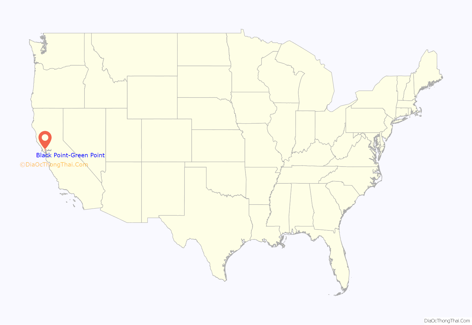
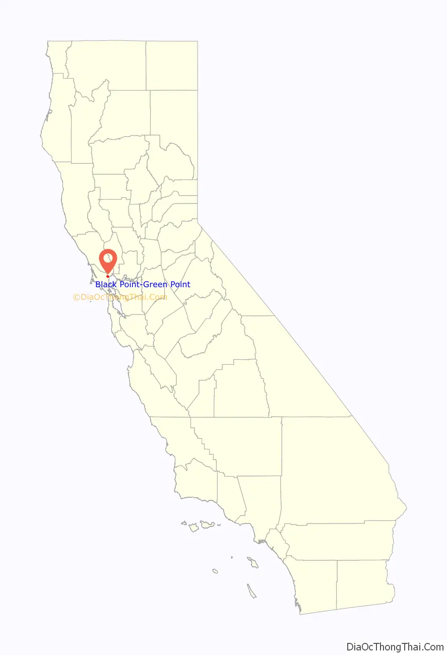
Black Point-Green Point location map. Where is Black Point-Green Point CDP?
History
Black Point was part of the Rancho de Novato land grant. The 1880 History of Marin County by Alley, Bowen and Co. mentions “a man by name of Day” who “settled on an island in Novato township which has since borne his name” in 1851. This island is still known as Day Island. According to the book, several more settlers moved into the area in 1853. Some of them owned land there, while others were squatters, a problem common across the county. Lumber that came from Black Point was used to build part of the USS Saginaw, a steamer built at the Mare Island Naval Shipyard. It served in the navy until 1870, when it ran aground on a reef not far from Ocean island. Deer Island, a former island east of Olive Avenue, actually was an island in the early 1900s. The house on the island, owned by Antonio DeBorba, whose shop on Grant Avenue is still intact, was completely encompassed by water, and his house was only accessible by boat. When both the county and the state refused to build a levee, he spent a small fortune deepening the creek and taking water out of the marsh. Once that was done, he donated the land that is now Highway 37.
The first Black Point post office operated from 1865 to 1891. The Grandview post office opened in 1905, changed its name to Black Point in 1944, and closed in 1952. Black Point-Green Point is located along the Brazos Railroad Subdivision, with Northwestern Pacific running trains through twice a week. Trains passing through Black Point-Green Point cross the Black Point Railroad Bridge, built in 1911. The fields to the south of Black Point were used for the location of the Black Point Communications Annex, an antenna array that was used to communicate with the Hamilton Air Force Base.
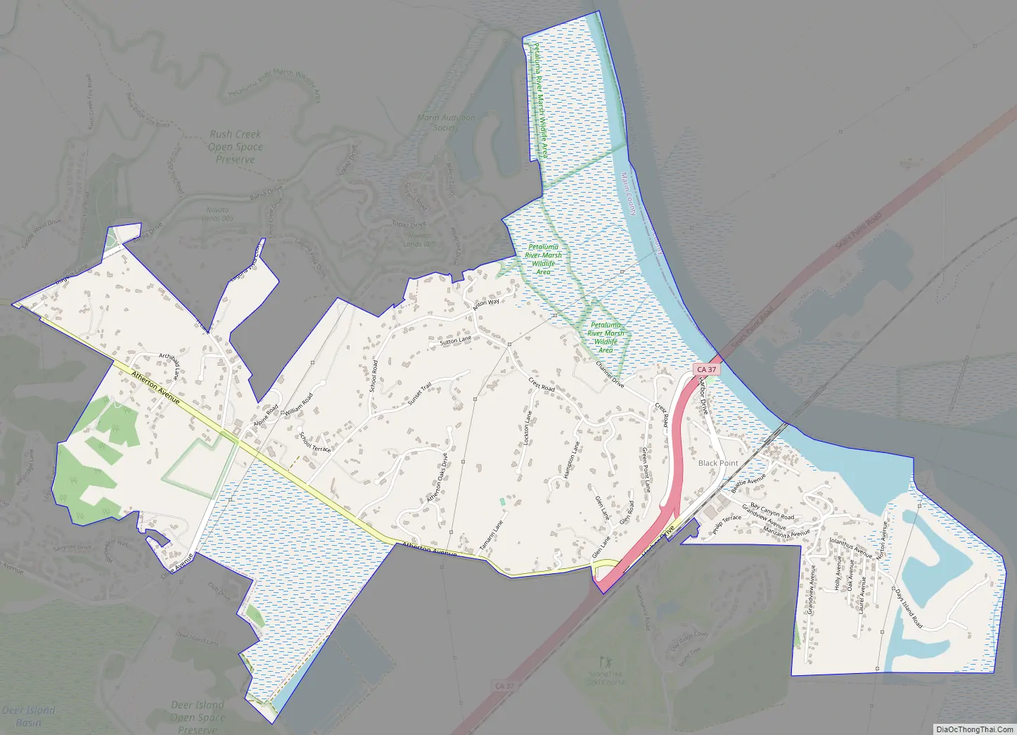
Black Point-Green Point Road Map
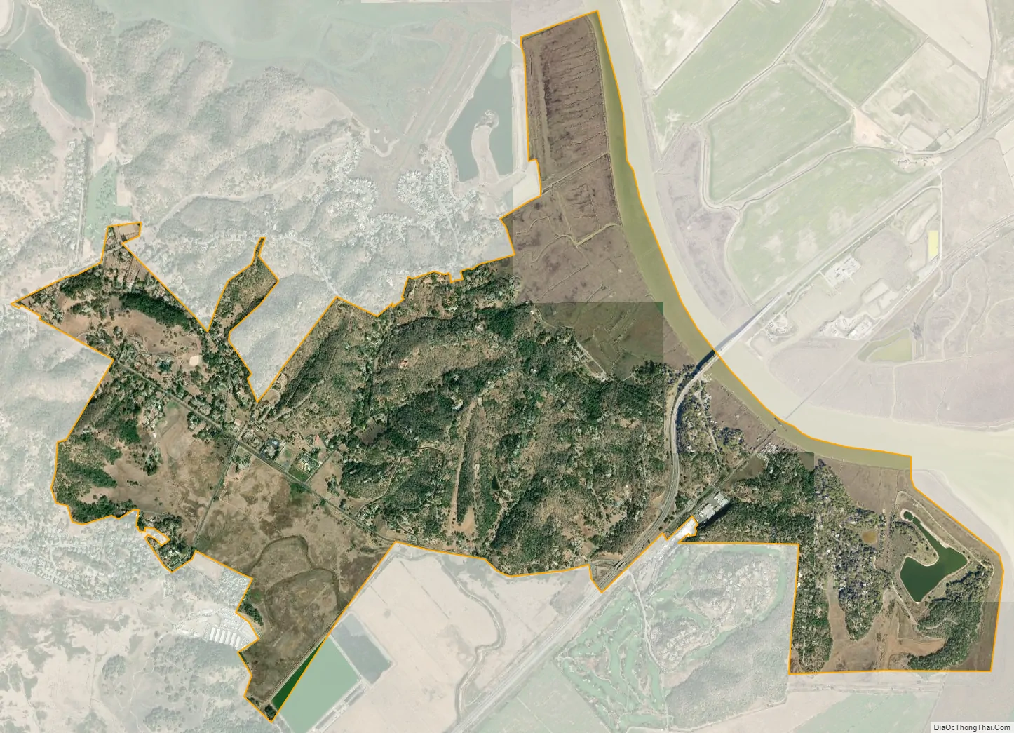
Black Point-Green Point city Satellite Map
Geography
Black Point-Green Point is 4 miles (6 km) east of the center of Novato and 11 miles (18 km) north of San Rafael, the Marin county seat. The Petaluma River, which forms the northeast edge of the community, is the Sonoma County line.
According to the United States Census Bureau, the CDP has a total area of 2.9 square miles (7.5 km), of which 0.07 square miles (0.18 km), or 2.42%, are water. Black Point-Green Point is also located near various public lands, such as the Rush Creek Open Space Preserve and the Vince Mulroy Wildlife Prerserve.
See also
Map of California State and its subdivision:- Alameda
- Alpine
- Amador
- Butte
- Calaveras
- Colusa
- Contra Costa
- Del Norte
- El Dorado
- Fresno
- Glenn
- Humboldt
- Imperial
- Inyo
- Kern
- Kings
- Lake
- Lassen
- Los Angeles
- Madera
- Marin
- Mariposa
- Mendocino
- Merced
- Modoc
- Mono
- Monterey
- Napa
- Nevada
- Orange
- Placer
- Plumas
- Riverside
- Sacramento
- San Benito
- San Bernardino
- San Diego
- San Francisco
- San Joaquin
- San Luis Obispo
- San Mateo
- Santa Barbara
- Santa Clara
- Santa Cruz
- Shasta
- Sierra
- Siskiyou
- Solano
- Sonoma
- Stanislaus
- Sutter
- Tehama
- Trinity
- Tulare
- Tuolumne
- Ventura
- Yolo
- Yuba
- Alabama
- Alaska
- Arizona
- Arkansas
- California
- Colorado
- Connecticut
- Delaware
- District of Columbia
- Florida
- Georgia
- Hawaii
- Idaho
- Illinois
- Indiana
- Iowa
- Kansas
- Kentucky
- Louisiana
- Maine
- Maryland
- Massachusetts
- Michigan
- Minnesota
- Mississippi
- Missouri
- Montana
- Nebraska
- Nevada
- New Hampshire
- New Jersey
- New Mexico
- New York
- North Carolina
- North Dakota
- Ohio
- Oklahoma
- Oregon
- Pennsylvania
- Rhode Island
- South Carolina
- South Dakota
- Tennessee
- Texas
- Utah
- Vermont
- Virginia
- Washington
- West Virginia
- Wisconsin
- Wyoming


