Bodega Bay is a village and census-designated place (CDP) in Sonoma County, California, United States. The population was 912 at the 2020 census. The town, located along State Route 1, is on the eastern side of Bodega Harbor, an inlet of Bodega Bay on the Pacific coast.
| Name: | Bodega Bay CDP |
|---|---|
| LSAD Code: | 57 |
| LSAD Description: | CDP (suffix) |
| State: | California |
| County: | Sonoma County |
| Elevation: | 56 ft (17 m) |
| Total Area: | 12.52 sq mi (32.44 km²) |
| Land Area: | 8.35 sq mi (21.61 km²) |
| Water Area: | 4.18 sq mi (10.82 km²) 33.37% |
| Total Population: | 912 |
| Population Density: | 109.29/sq mi (42.20/km²) |
| ZIP code: | 94923 |
| Area code: | 707 |
| FIPS code: | 0607260 |
Online Interactive Map
Click on ![]() to view map in "full screen" mode.
to view map in "full screen" mode.
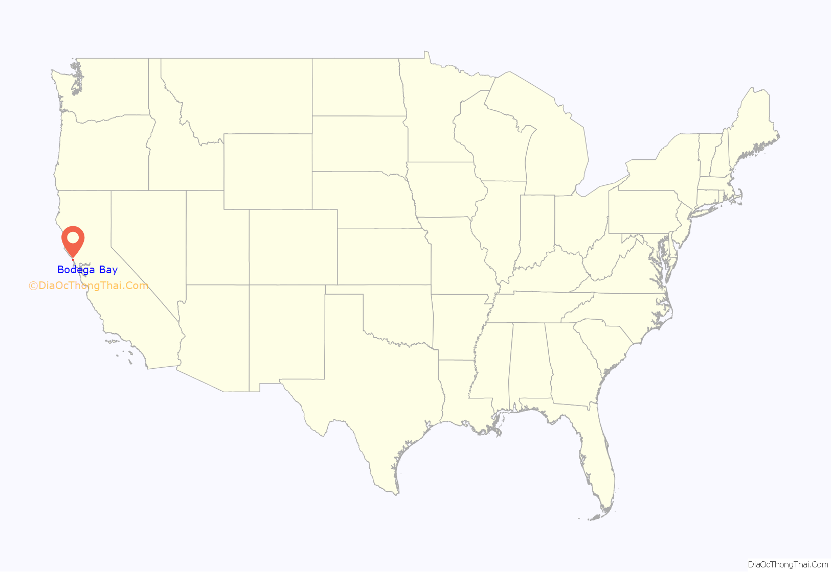
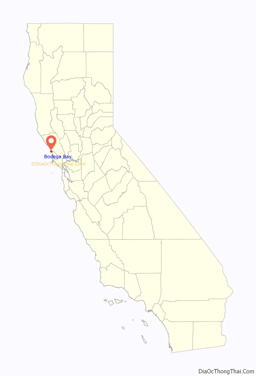
Bodega Bay location map. Where is Bodega Bay CDP?
History
Bodega Bay is the site of the first Russian structures built in California, which were erected in 1809 by Commerce Counseller Ivan Alexandrovich Kuskov of the Russian-American Company in the lead-up to the establishment of Fort Ross. The Russians named the settlement in Bodega Bay Port Rumyantsev after the Russian Foreign Minister Nikolai Petrovich Rumyantsev, and it served as a port to support Fort Ross and the larger Russian community known as Colony Ross.
The town is now named in honor of Juan Francisco de la Bodega y Quadra, a Spanish naval officer who explored the west coast of North America as far north as Alaska during multiple voyages of discovery in the late 18th century.
The location scenes in the Alfred Hitchcock-directed film The Birds (1963) were filmed in both Bodega Bay and nearby Bodega (though both were represented as being parts of the film’s Bodega Bay.) The town markets itself by using the film in many ways, including its Birds-themed visitors’ center although none of the film’s primary locations is found there. The church and the schoolhouse shown in the film are on the Bodega Highway in Bodega. The town also featured in the cult horror film Puppet Master (1989).
The Pacific Gas and Electric Company G&E) wanted to build a nuclear power plant on Bodega Head in the 1960s, but the plans were shut down after a large protest (the first for environmental reasons) and the geologic fault which was found while it was digging the hole for the first reactor. The hole filled with water and became known as “The Hole in the Head”.
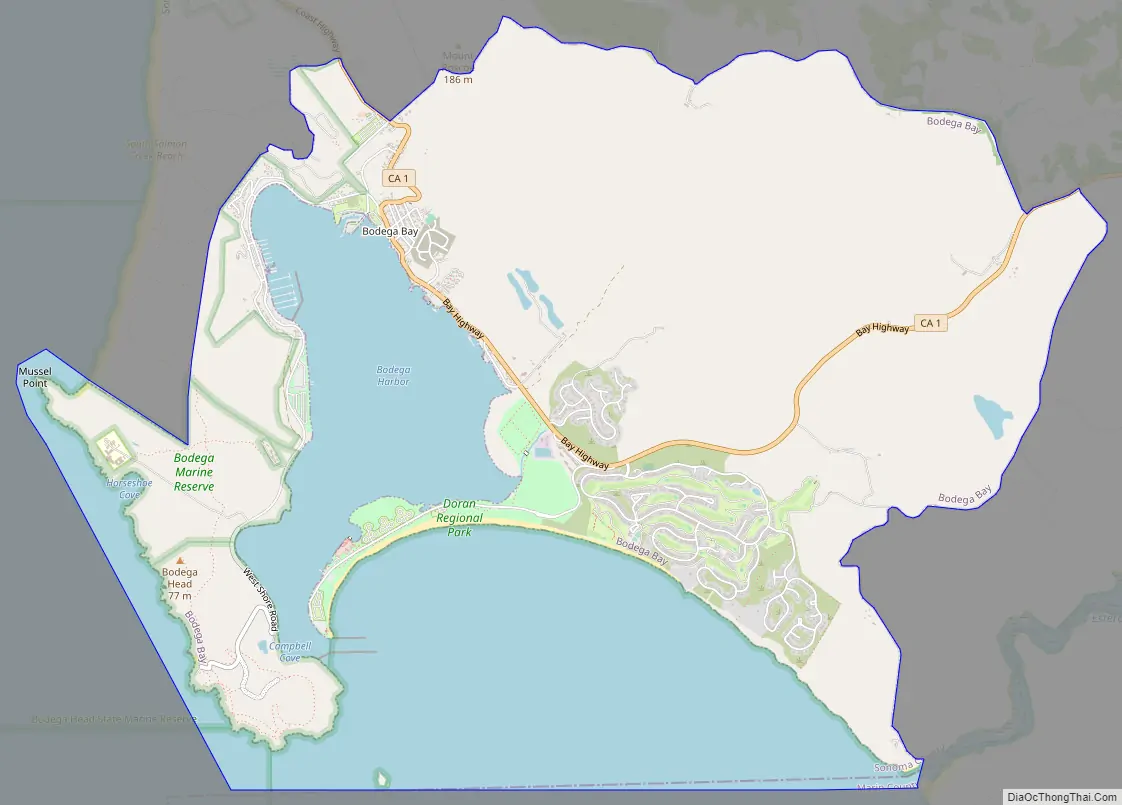
Bodega Bay Road Map
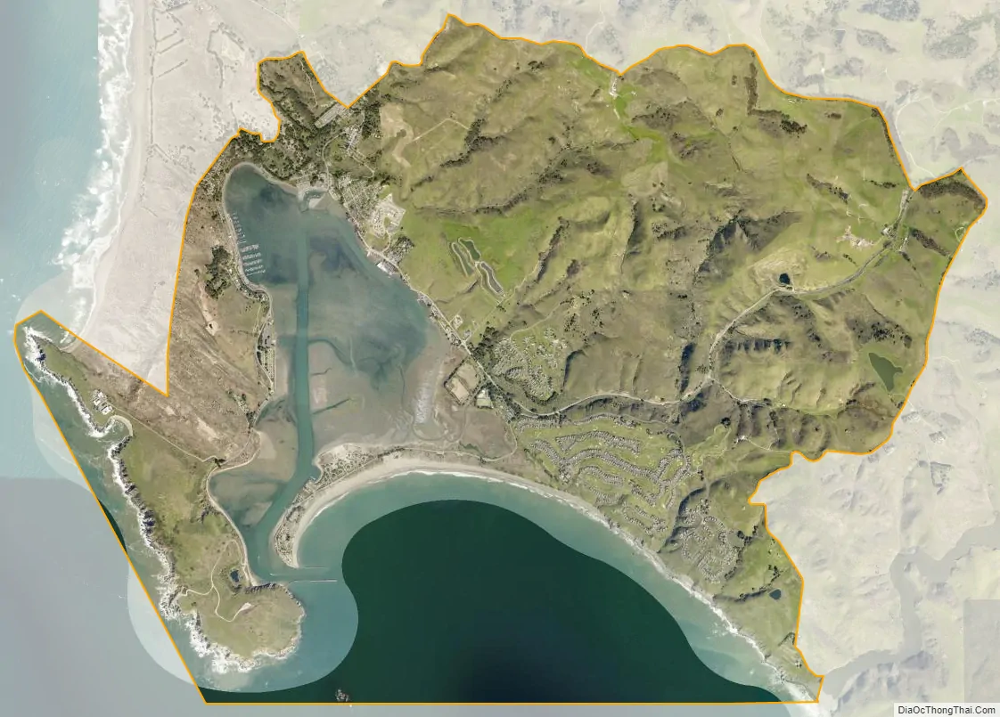
Bodega Bay city Satellite Map
Geography
According to the United States Census Bureau, the CDP has a total area of 12.5 square miles (32 km), of which 8.3 square miles (21 km) of it is land, and 4.2 square miles (11 km) of it (33.37%) is water. The town lies on the edge of Bodega Harbor. Bodega Bay itself extends south along the coast to Tomales Bay. North of town lies a long coastal exposure of alternating rock outcrops and sandy beaches which is known as Sonoma Coast State Beach.
The U.S. National Weather Service provides a helpful visual aid graphing weather and climate information from the nearby Monterey sensors to display visually by month the annual typical temperatures, the past year’s temperatures, and record temperatures.
See also
Map of California State and its subdivision:- Alameda
- Alpine
- Amador
- Butte
- Calaveras
- Colusa
- Contra Costa
- Del Norte
- El Dorado
- Fresno
- Glenn
- Humboldt
- Imperial
- Inyo
- Kern
- Kings
- Lake
- Lassen
- Los Angeles
- Madera
- Marin
- Mariposa
- Mendocino
- Merced
- Modoc
- Mono
- Monterey
- Napa
- Nevada
- Orange
- Placer
- Plumas
- Riverside
- Sacramento
- San Benito
- San Bernardino
- San Diego
- San Francisco
- San Joaquin
- San Luis Obispo
- San Mateo
- Santa Barbara
- Santa Clara
- Santa Cruz
- Shasta
- Sierra
- Siskiyou
- Solano
- Sonoma
- Stanislaus
- Sutter
- Tehama
- Trinity
- Tulare
- Tuolumne
- Ventura
- Yolo
- Yuba
- Alabama
- Alaska
- Arizona
- Arkansas
- California
- Colorado
- Connecticut
- Delaware
- District of Columbia
- Florida
- Georgia
- Hawaii
- Idaho
- Illinois
- Indiana
- Iowa
- Kansas
- Kentucky
- Louisiana
- Maine
- Maryland
- Massachusetts
- Michigan
- Minnesota
- Mississippi
- Missouri
- Montana
- Nebraska
- Nevada
- New Hampshire
- New Jersey
- New Mexico
- New York
- North Carolina
- North Dakota
- Ohio
- Oklahoma
- Oregon
- Pennsylvania
- Rhode Island
- South Carolina
- South Dakota
- Tennessee
- Texas
- Utah
- Vermont
- Virginia
- Washington
- West Virginia
- Wisconsin
- Wyoming


