Cazadero (Spanish for “hunting ground”) is an unincorporated community and census-designated place (CDP) in western Sonoma County, California, United States with a population of 354 in 2010. The downtown of Cazadero consists of two churches, a general store, a post office, a hardware store, an auto repair garage, private office space, and the Cazadero Volunteer Fire Department.
Cazadero is the general area from the confluence of Austin Creek and the Russian River at the intersection of California State Route 116 and Cazadero Highway running north to the small town of the same name. The town is approximately 6 miles (9.7 km) from Route 116. Cazadero Highway parallels Austin Creek, which is a principal tributary of the lower Russian River. Located in the Sonoma Coast AVA, Cazadero can also be considered part of Wine Country.
| Name: | Cazadero CDP |
|---|---|
| LSAD Code: | 57 |
| LSAD Description: | CDP (suffix) |
| State: | California |
| County: | Sonoma County |
| Elevation: | 118 ft (36 m) |
| Total Area: | 7.12 sq mi (18.43 km²) |
| Land Area: | 7.12 sq mi (18.43 km²) |
| Water Area: | 0.00 sq mi (0.00 km²) 0.02% |
| Total Population: | 298 |
| Population Density: | 41.88/sq mi (16.17/km²) |
| ZIP code: | 95421 |
| Area code: | 707 |
| FIPS code: | 0612146 |
| GNISfeature ID: | 220749 |
| Website: | https://www.cazadero-csd.org/ |
Online Interactive Map
Click on ![]() to view map in "full screen" mode.
to view map in "full screen" mode.
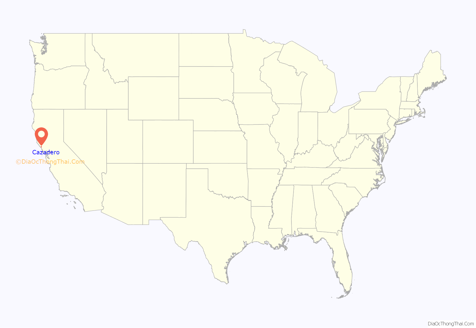
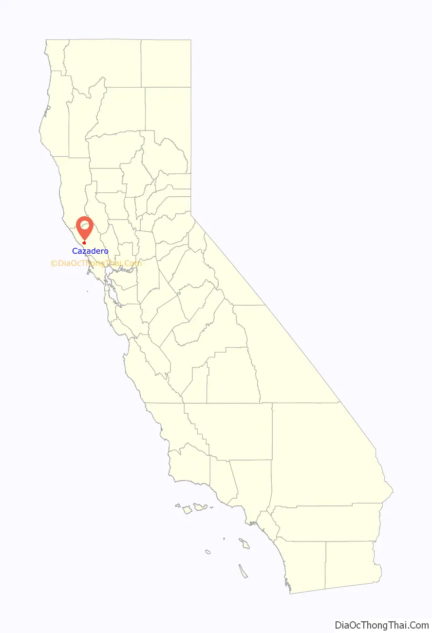
Cazadero location map. Where is Cazadero CDP?
History
Cazadero was the northern terminus of the North Pacific Coast Railroad, originally laid as narrow-gauge track in the 1870s. This railhead was fed by several smaller-gauge systems dedicated to logging and networks of logging roads and trails which brought trees to Duncans Mill for processing and shipment south to San Francisco. Local legend holds that much of San Francisco was rebuilt after the disastrous April 1906 earthquake and fire using redwood and other lumber from the Cazadero area. Cazadero timbers are also known to have been used in pilings sunk to support the old eastern span of the San Francisco-Oakland Bay Bridge (which was replaced by a new span in 2013; the old eastern span was subsequently demolished.)
Cazadero Road Map

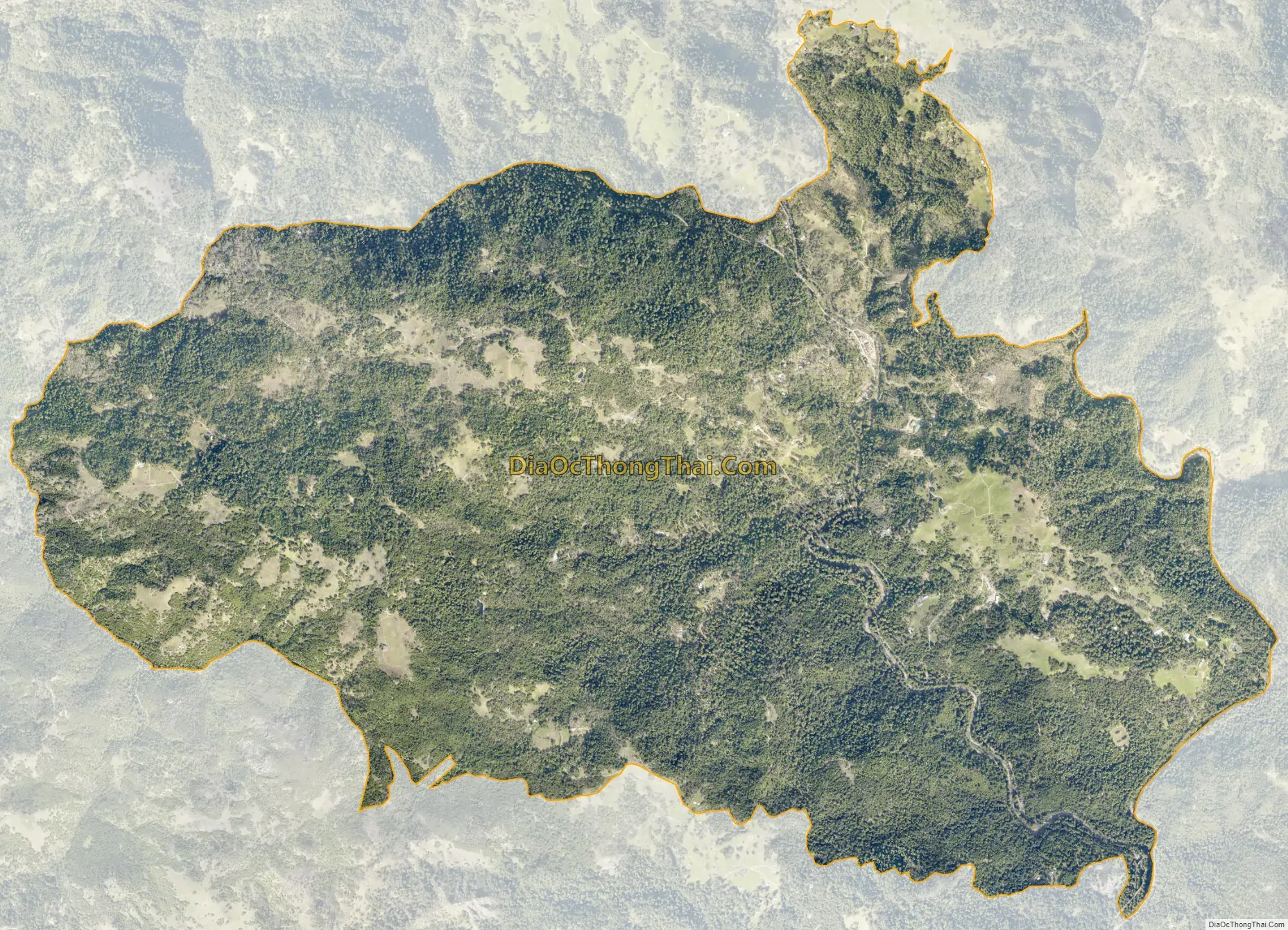
Cazadero city Satellite Map
Geography
Many creeks in Cazadero join Austin Creek as it makes its way to the Russian River. The principal tributary in the area is Kidd Creek, which finds its source on the south east slopes of Pole Mountain which rises to approximately 2,204 feet (672 m) just a few miles from the Pacific coastline. Kidd Creek flows west to east in two main forks which join near the CazSonoma Inn before flowing into Austin Creek about 3 miles (4.8 km) south of town. The rapid rise in elevation from the coast to mountains west of Cazadero ensures that the area receives substantial rainfall as Pacific storms come onshore in spring and winter, releasing rain from clouds saturated with ocean moisture. Cazadero receives an average of 85 in (2,200 mm) of rain a year, and is reputed to be the second-wettest town in California, after Gasquet.
According to the United States Census Bureau, the CDP covers an area of 7.1 square miles (18.4 km), 99.98% of it land and 0.02% of it water. The Zip Code covers about 216 square miles (559.4 km).
Climate
This region includes both coastal cool and coastal warm microclimates. Coastal cool has summer highs in the 70s °F, and winter lows in the 40s °F. Coastal warm has summer highs in the 80s and 90s °F.
See also
Map of California State and its subdivision:- Alameda
- Alpine
- Amador
- Butte
- Calaveras
- Colusa
- Contra Costa
- Del Norte
- El Dorado
- Fresno
- Glenn
- Humboldt
- Imperial
- Inyo
- Kern
- Kings
- Lake
- Lassen
- Los Angeles
- Madera
- Marin
- Mariposa
- Mendocino
- Merced
- Modoc
- Mono
- Monterey
- Napa
- Nevada
- Orange
- Placer
- Plumas
- Riverside
- Sacramento
- San Benito
- San Bernardino
- San Diego
- San Francisco
- San Joaquin
- San Luis Obispo
- San Mateo
- Santa Barbara
- Santa Clara
- Santa Cruz
- Shasta
- Sierra
- Siskiyou
- Solano
- Sonoma
- Stanislaus
- Sutter
- Tehama
- Trinity
- Tulare
- Tuolumne
- Ventura
- Yolo
- Yuba
- Alabama
- Alaska
- Arizona
- Arkansas
- California
- Colorado
- Connecticut
- Delaware
- District of Columbia
- Florida
- Georgia
- Hawaii
- Idaho
- Illinois
- Indiana
- Iowa
- Kansas
- Kentucky
- Louisiana
- Maine
- Maryland
- Massachusetts
- Michigan
- Minnesota
- Mississippi
- Missouri
- Montana
- Nebraska
- Nevada
- New Hampshire
- New Jersey
- New Mexico
- New York
- North Carolina
- North Dakota
- Ohio
- Oklahoma
- Oregon
- Pennsylvania
- Rhode Island
- South Carolina
- South Dakota
- Tennessee
- Texas
- Utah
- Vermont
- Virginia
- Washington
- West Virginia
- Wisconsin
- Wyoming


