Boonville (formerly The Corners and Kendall’s City) is a census-designated place (CDP) in Mendocino County, California, United States. It is located 12.5 miles (20 km) southwest of Ukiah, at an elevation of 381 feet (116 m). The population was 1,018 at the 2020 census.
| Name: | Boonville CDP |
|---|---|
| LSAD Code: | 57 |
| LSAD Description: | CDP (suffix) |
| State: | California |
| County: | Mendocino County |
| Elevation: | 381 ft (116 m) |
| Total Area: | 5.54 sq mi (14.3 km²) |
| Land Area: | 5.54 sq mi (14.3 km²) |
| Water Area: | 0.00 sq mi (0.0 km²) 0% |
| Total Population: | 1,018 |
| Population Density: | 183.66/sq mi (70.91/km²) |
| ZIP code: | 95415 |
| Area code: | 707 |
| FIPS code: | 0607512 |
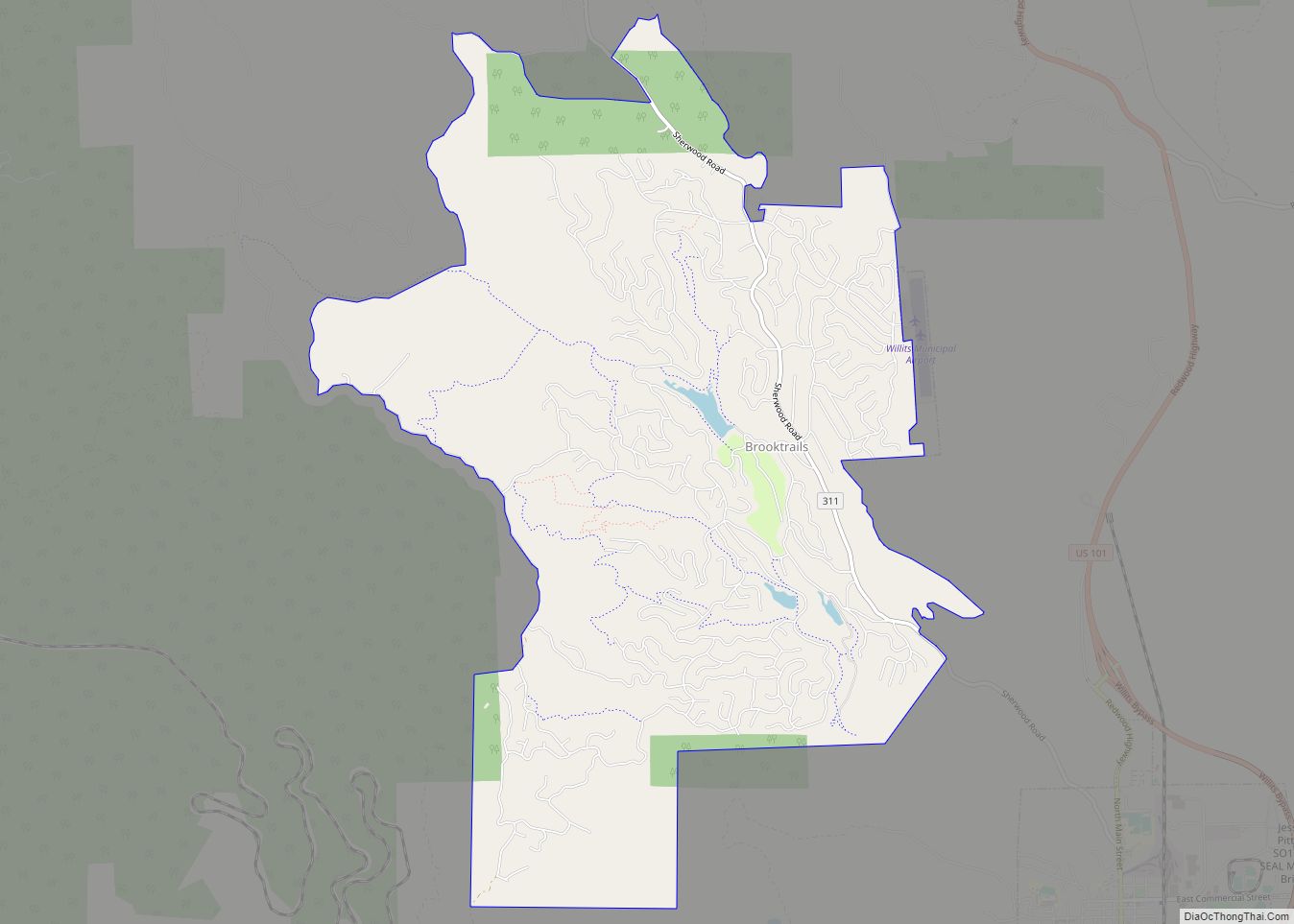
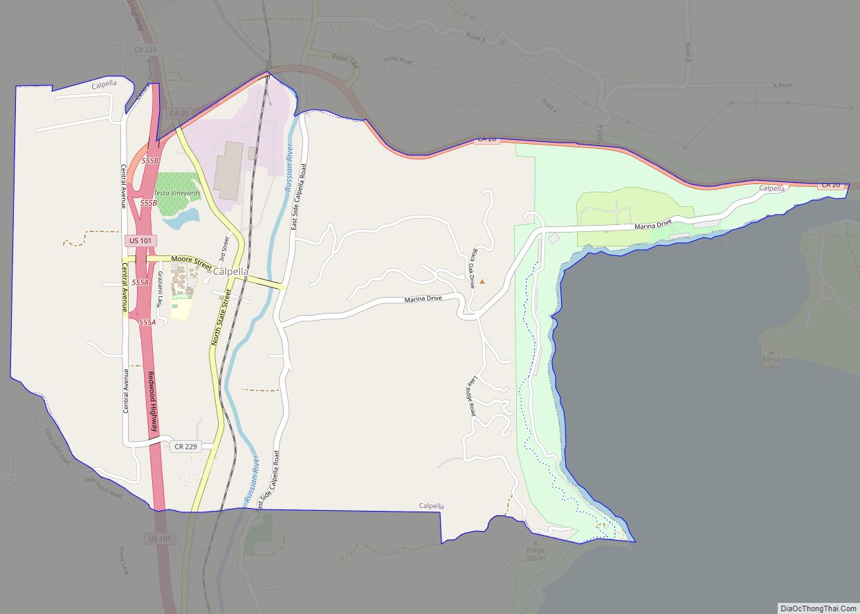
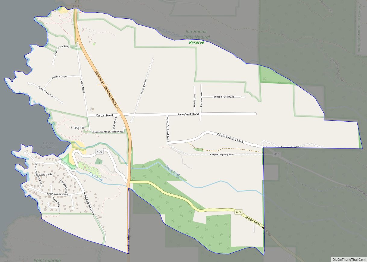
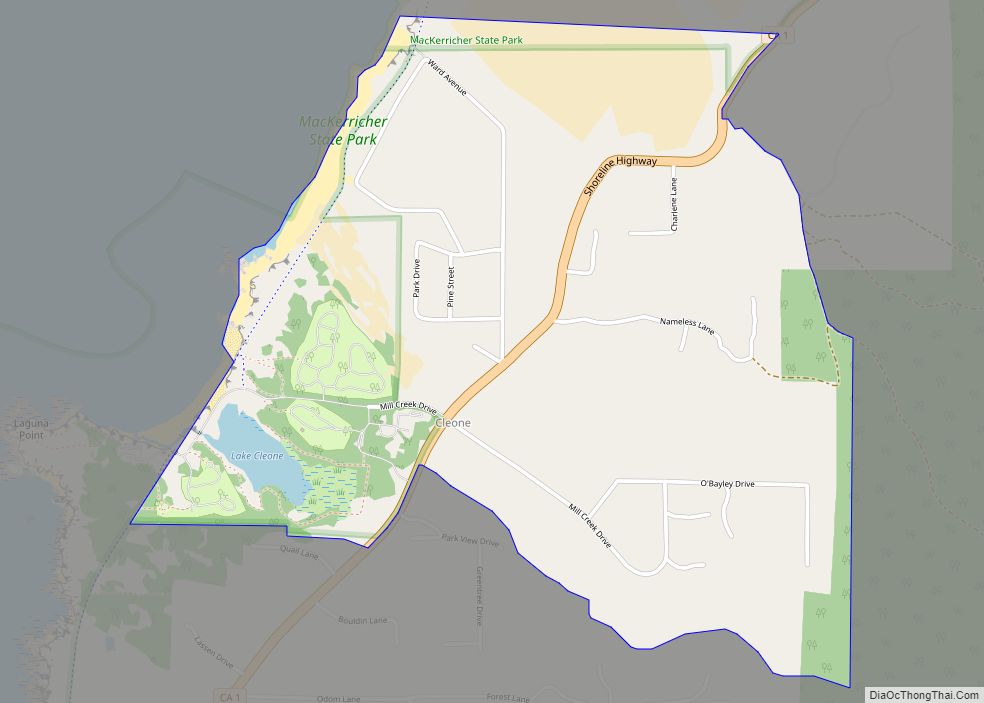
Online Interactive Map
Click on ![]() to view map in "full screen" mode.
to view map in "full screen" mode.
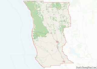
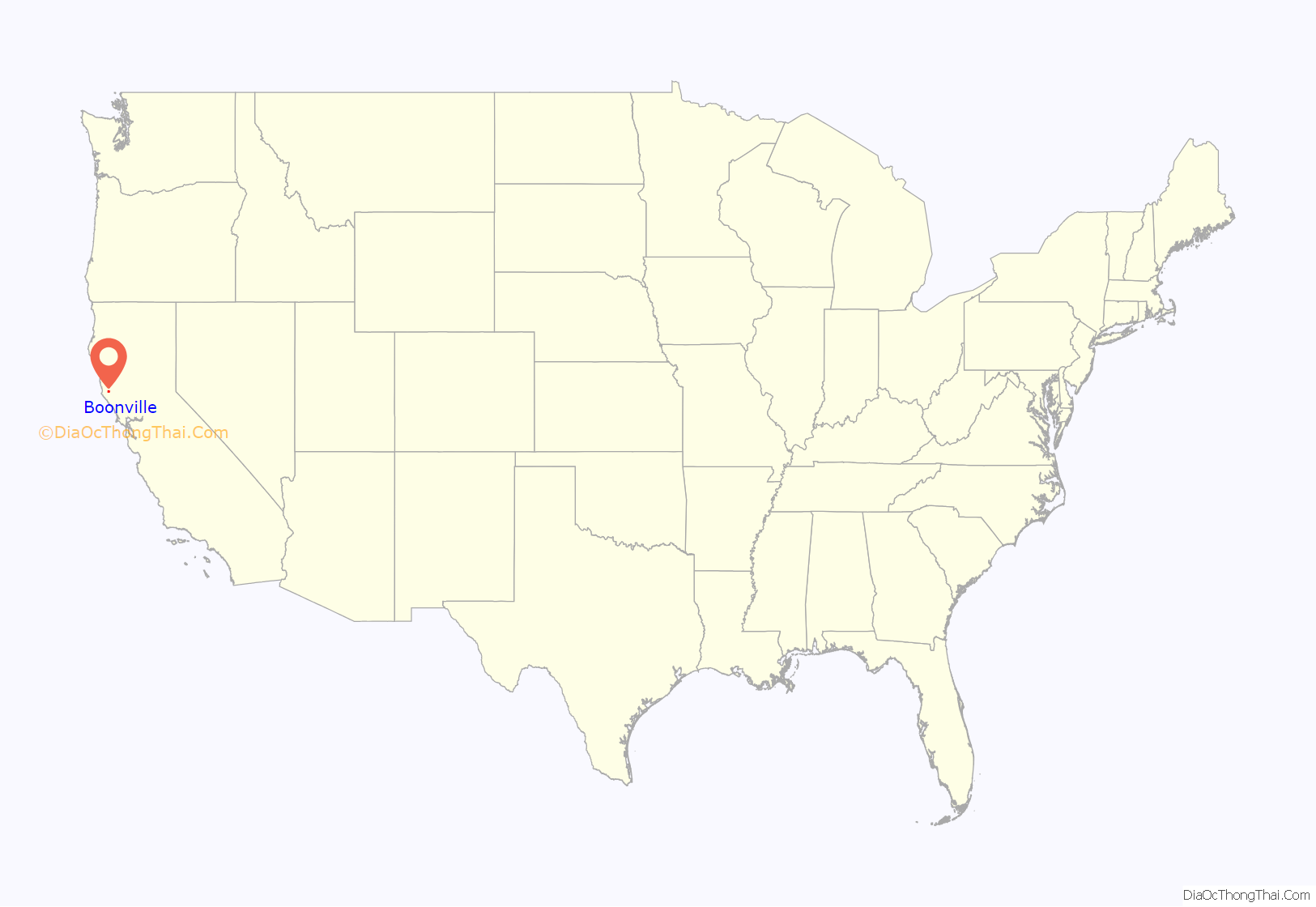
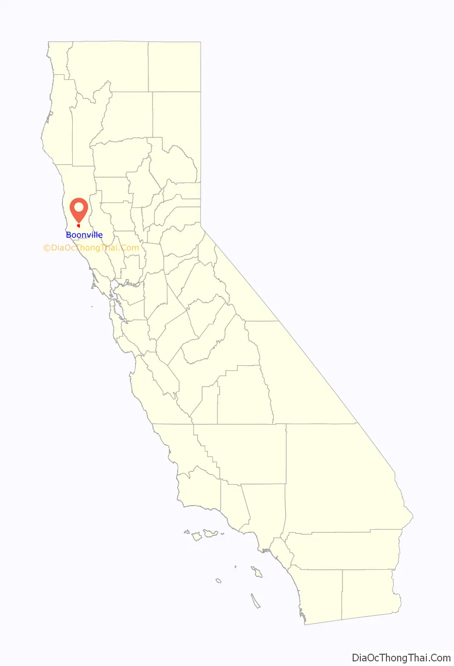
Boonville location map. Where is Boonville CDP?
History
Boonville was founded by John Bregartes in 1862. It was originally called “The Corners”. Bregartes built a hotel there, and in 1864 Alonzo Kendall built another. The town became known as “Kendall’s City”. W.W. Boone bought a store in town and gave the place its current name.
The first post office opened in 1875, having been transferred from Anderson.
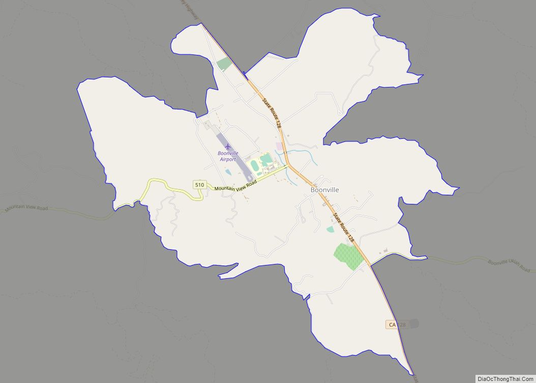
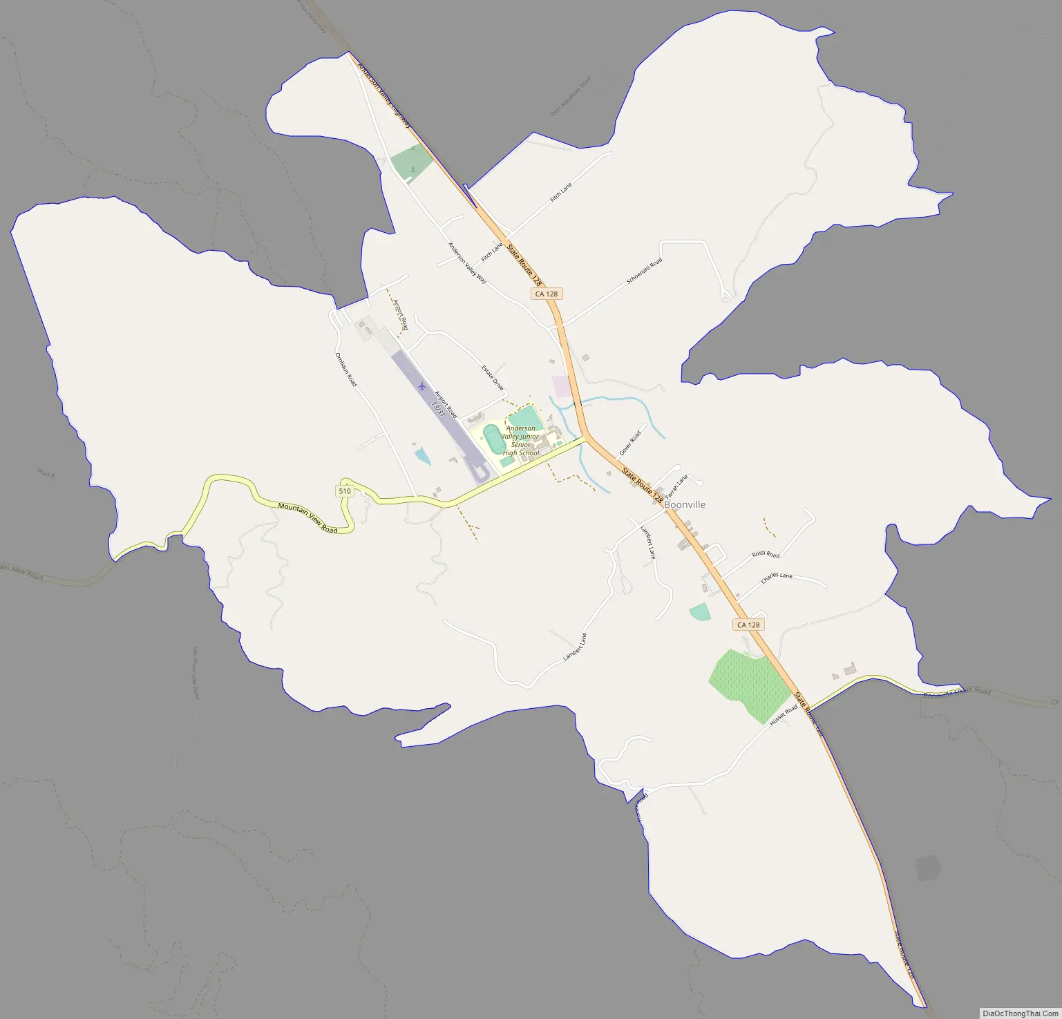
Boonville Road Map
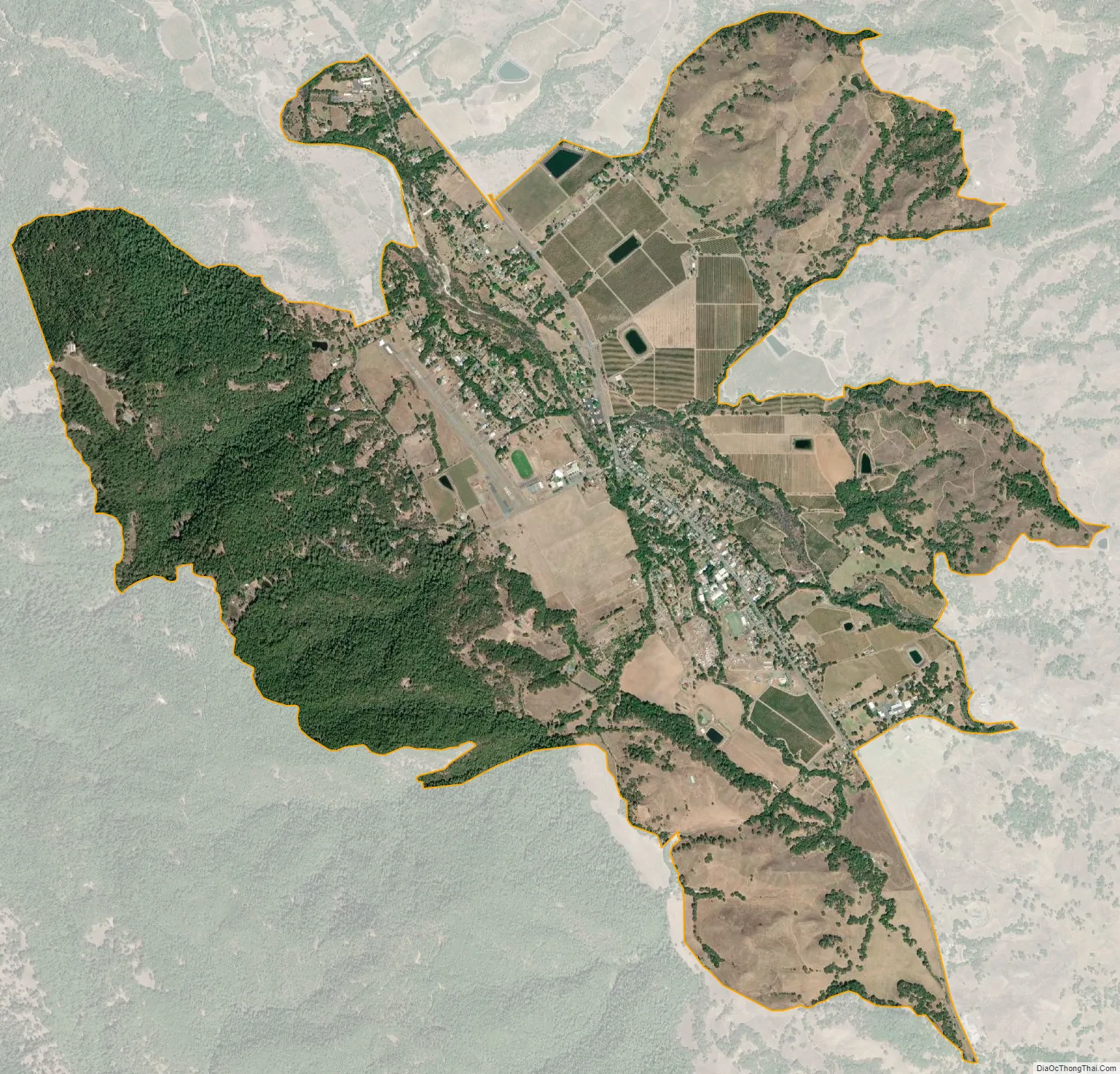
Boonville city Satellite Map
Geography
Boonville is in southern Mendocino County, in the Anderson Valley, 115 miles (185 km) north of San Francisco. State Route 128 passes through the town, leading southeast 28 miles (45 km) to U.S. Route 101 at Cloverdale and northwest the same distance to the Pacific Ocean near Albion. State Route 253 leads east from Boonville 17 miles (27 km) to Route 101 near Ukiah.
According to the United States Census Bureau, the Boonville CDP covers an area of 5.5 square miles (14 km), all of it land. The town is drained by Anderson Creek, a northwest-flowing tributary of the Navarro River, which leads to the Pacific Ocean near Albion.
Climate
The region experiences warm (but not hot) and dry summers, with no average monthly temperatures above 71.6 °F. According to the Köppen Climate Classification system, Boonville has a warm-summer Mediterranean climate, abbreviated “Csb” on climate maps.
See also
Map of California State and its subdivision:- Alameda
- Alpine
- Amador
- Butte
- Calaveras
- Colusa
- Contra Costa
- Del Norte
- El Dorado
- Fresno
- Glenn
- Humboldt
- Imperial
- Inyo
- Kern
- Kings
- Lake
- Lassen
- Los Angeles
- Madera
- Marin
- Mariposa
- Mendocino
- Merced
- Modoc
- Mono
- Monterey
- Napa
- Nevada
- Orange
- Placer
- Plumas
- Riverside
- Sacramento
- San Benito
- San Bernardino
- San Diego
- San Francisco
- San Joaquin
- San Luis Obispo
- San Mateo
- Santa Barbara
- Santa Clara
- Santa Cruz
- Shasta
- Sierra
- Siskiyou
- Solano
- Sonoma
- Stanislaus
- Sutter
- Tehama
- Trinity
- Tulare
- Tuolumne
- Ventura
- Yolo
- Yuba
- Alabama
- Alaska
- Arizona
- Arkansas
- California
- Colorado
- Connecticut
- Delaware
- District of Columbia
- Florida
- Georgia
- Hawaii
- Idaho
- Illinois
- Indiana
- Iowa
- Kansas
- Kentucky
- Louisiana
- Maine
- Maryland
- Massachusetts
- Michigan
- Minnesota
- Mississippi
- Missouri
- Montana
- Nebraska
- Nevada
- New Hampshire
- New Jersey
- New Mexico
- New York
- North Carolina
- North Dakota
- Ohio
- Oklahoma
- Oregon
- Pennsylvania
- Rhode Island
- South Carolina
- South Dakota
- Tennessee
- Texas
- Utah
- Vermont
- Virginia
- Washington
- West Virginia
- Wisconsin
- Wyoming