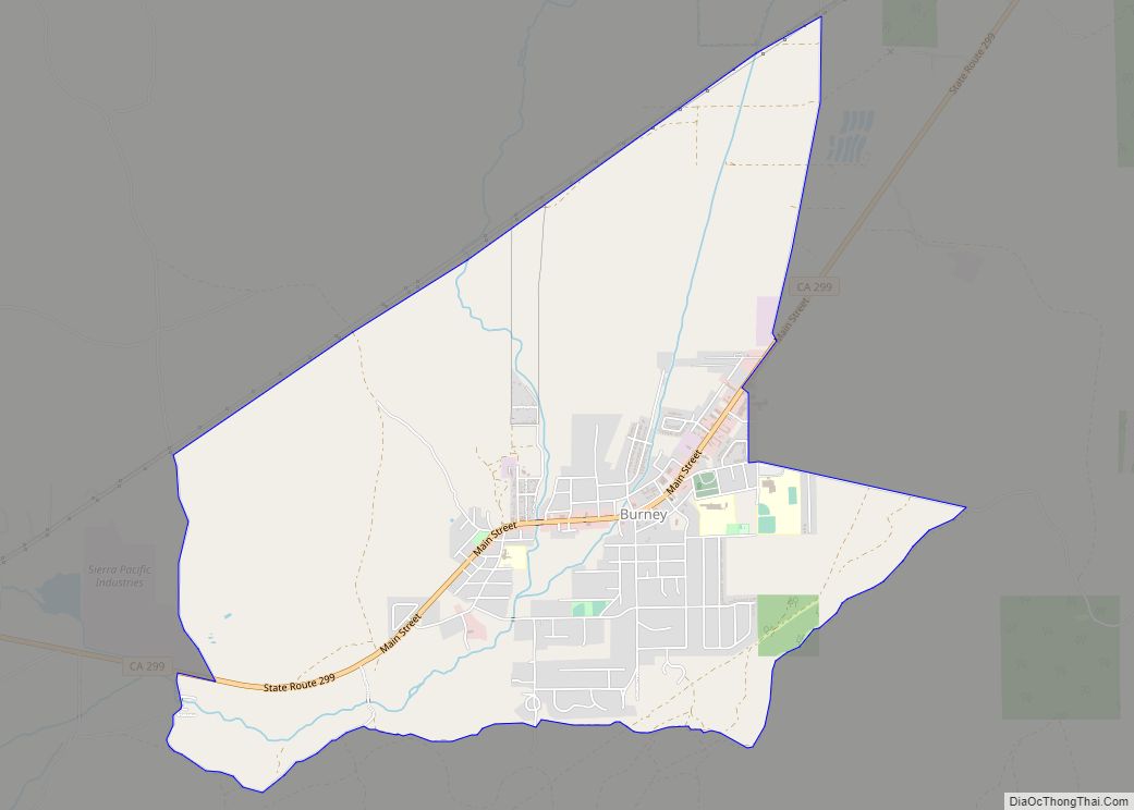
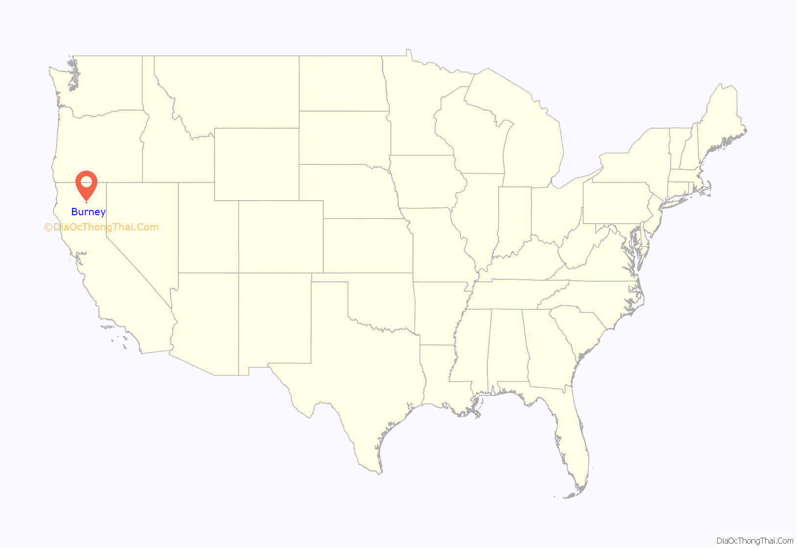
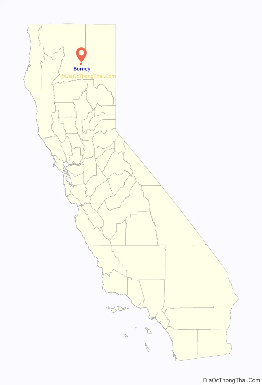
Burney is an unincorporated town and census-designated place (CDP) in Shasta County, California, United States. Its population is 3,000 as of the 2020 census, down from 3,154 from the 2010 census. Burney is located on State Route 299, about 4 miles west of its junction with State Route 89.
Burney has several areas for fly fishing, with wild brown and native rainbow trout in many nearby rivers and streams, including Burney Creek. Other attractions in the area include McArthur–Burney Falls Memorial State Park, home to Burney Falls.
Burney was named after Samuel Burney, a settler in the area in the 1850s. Burney was found dead in the valley in 1857, which came to be called “the valley where Burney died,” and finally just “Burney”.
The town of Burney sits at the base of an extinct volcano called Burney Mountain. The peak is 7,863 ft tall (2,397 m).
| Name: | Burney CDP |
|---|---|
| LSAD Code: | 57 |
| LSAD Description: | CDP (suffix) |
| State: | California |
| County: | Shasta County |
| Elevation: | 3,195 ft (952 m) |
| Total Area: | 5.38 sq mi (13.93 km²) |
| Land Area: | 5.37 sq mi (13.92 km²) |
| Water Area: | 0.01 sq mi (0.01 km²) 0.09% |
| Total Population: | 3,000 |
| Population Density: | 558.35/sq mi (215.58/km²) |
| ZIP code: | 96013 |
| Area code: | 530 |
| FIPS code: | 0609122 |
| GNISfeature ID: | 0277481 |
Online Interactive Map
Click on ![]() to view map in "full screen" mode.
to view map in "full screen" mode.
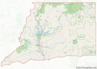
Burney location map. Where is Burney CDP?
History
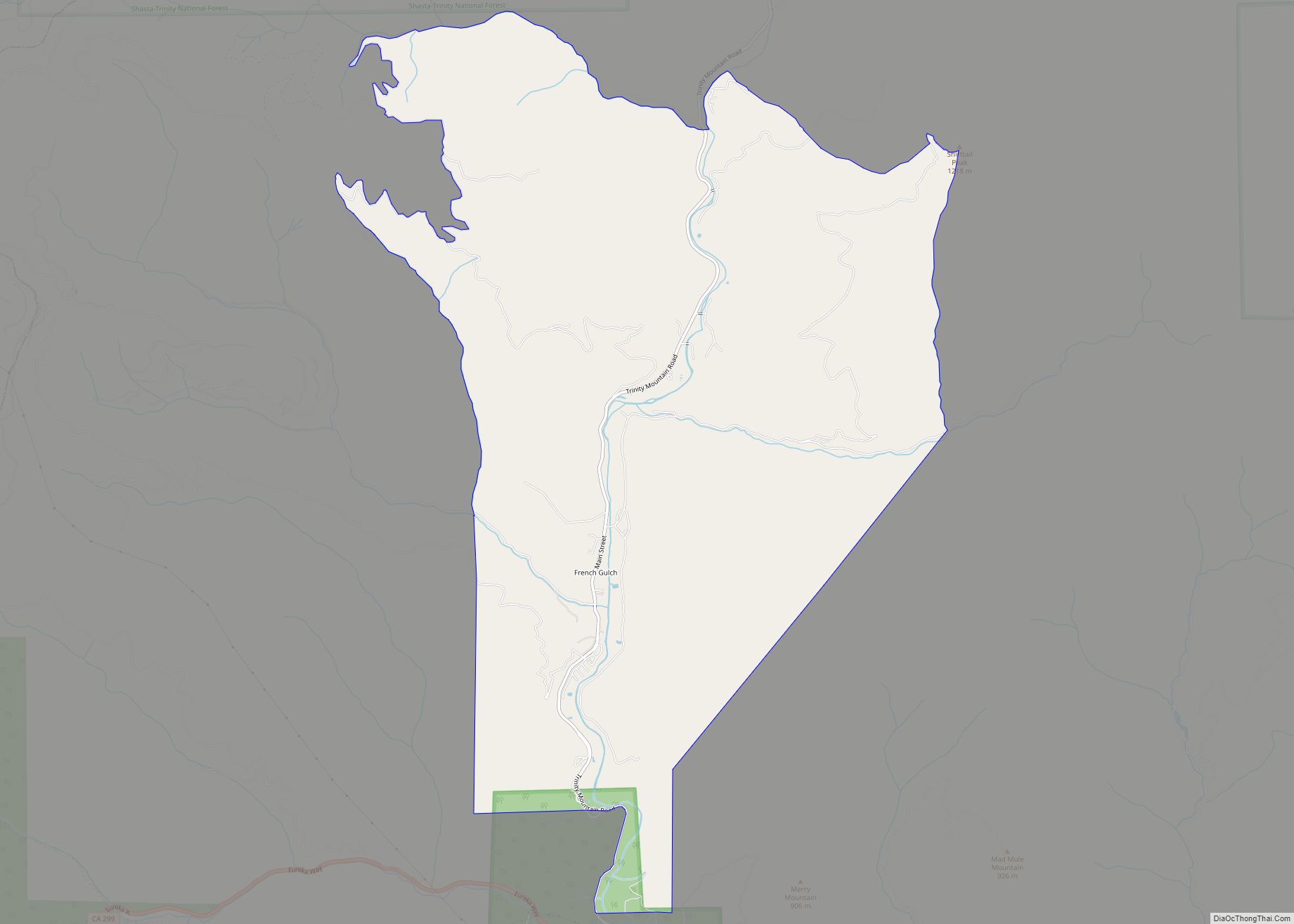
2009 shootout
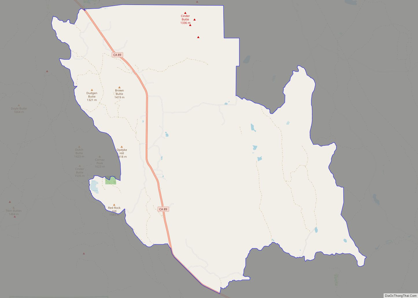
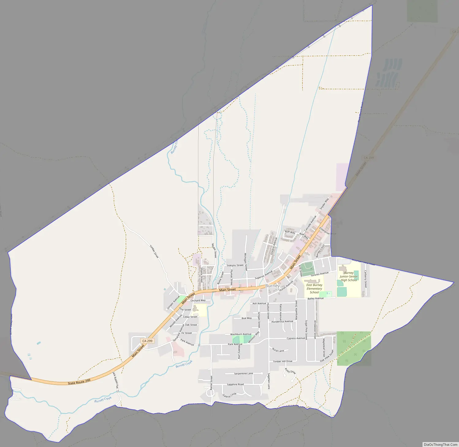
Burney Road Map
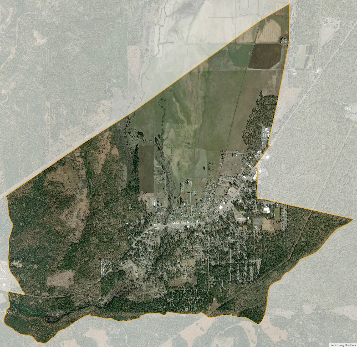
Burney city Satellite Map
See also
Map of California State and its subdivision:- Alameda
- Alpine
- Amador
- Butte
- Calaveras
- Colusa
- Contra Costa
- Del Norte
- El Dorado
- Fresno
- Glenn
- Humboldt
- Imperial
- Inyo
- Kern
- Kings
- Lake
- Lassen
- Los Angeles
- Madera
- Marin
- Mariposa
- Mendocino
- Merced
- Modoc
- Mono
- Monterey
- Napa
- Nevada
- Orange
- Placer
- Plumas
- Riverside
- Sacramento
- San Benito
- San Bernardino
- San Diego
- San Francisco
- San Joaquin
- San Luis Obispo
- San Mateo
- Santa Barbara
- Santa Clara
- Santa Cruz
- Shasta
- Sierra
- Siskiyou
- Solano
- Sonoma
- Stanislaus
- Sutter
- Tehama
- Trinity
- Tulare
- Tuolumne
- Ventura
- Yolo
- Yuba
- Alabama
- Alaska
- Arizona
- Arkansas
- California
- Colorado
- Connecticut
- Delaware
- District of Columbia
- Florida
- Georgia
- Hawaii
- Idaho
- Illinois
- Indiana
- Iowa
- Kansas
- Kentucky
- Louisiana
- Maine
- Maryland
- Massachusetts
- Michigan
- Minnesota
- Mississippi
- Missouri
- Montana
- Nebraska
- Nevada
- New Hampshire
- New Jersey
- New Mexico
- New York
- North Carolina
- North Dakota
- Ohio
- Oklahoma
- Oregon
- Pennsylvania
- Rhode Island
- South Carolina
- South Dakota
- Tennessee
- Texas
- Utah
- Vermont
- Virginia
- Washington
- West Virginia
- Wisconsin
- Wyoming