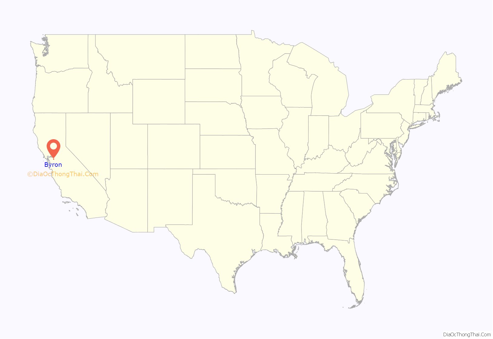
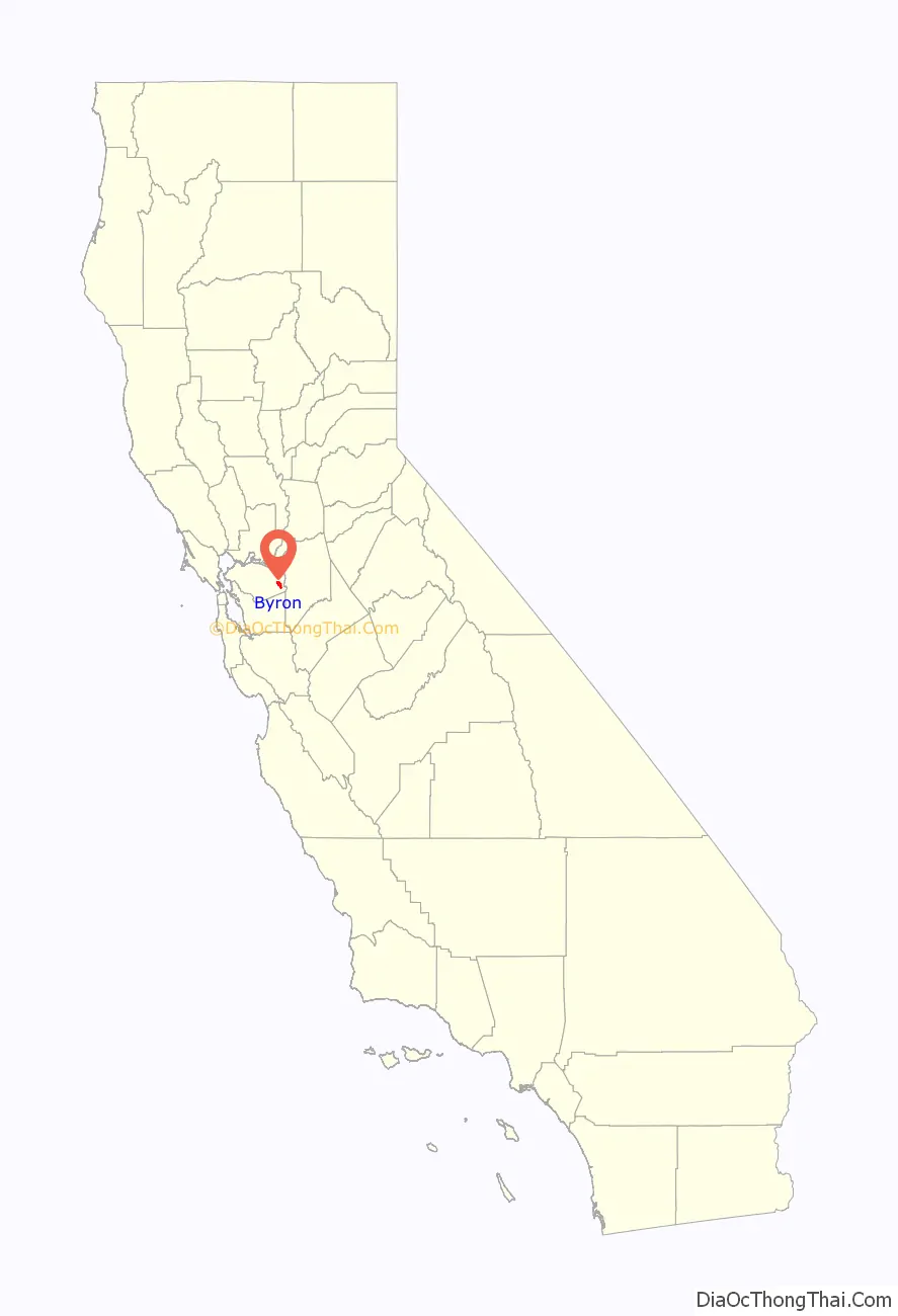
Byron is a census designated place (CDP) in Contra Costa County, California, United States.
| Name: | Byron CDP |
|---|---|
| LSAD Code: | 57 |
| LSAD Description: | CDP (suffix) |
| State: | California |
| County: | Contra Costa County |
| Elevation: | 33 ft (10 m) |
| Total Area: | 6.52 sq mi (16.89 km²) |
| Land Area: | 6.52 sq mi (16.89 km²) |
| Water Area: | 0.00 sq mi (0.00 km²) 0% |
| Total Population: | 1,140 |
| Population Density: | 174.82/sq mi (67.50/km²) |
| ZIP code: | 94514 |
| Area code: | 925 |
| FIPS code: | 0609346 |
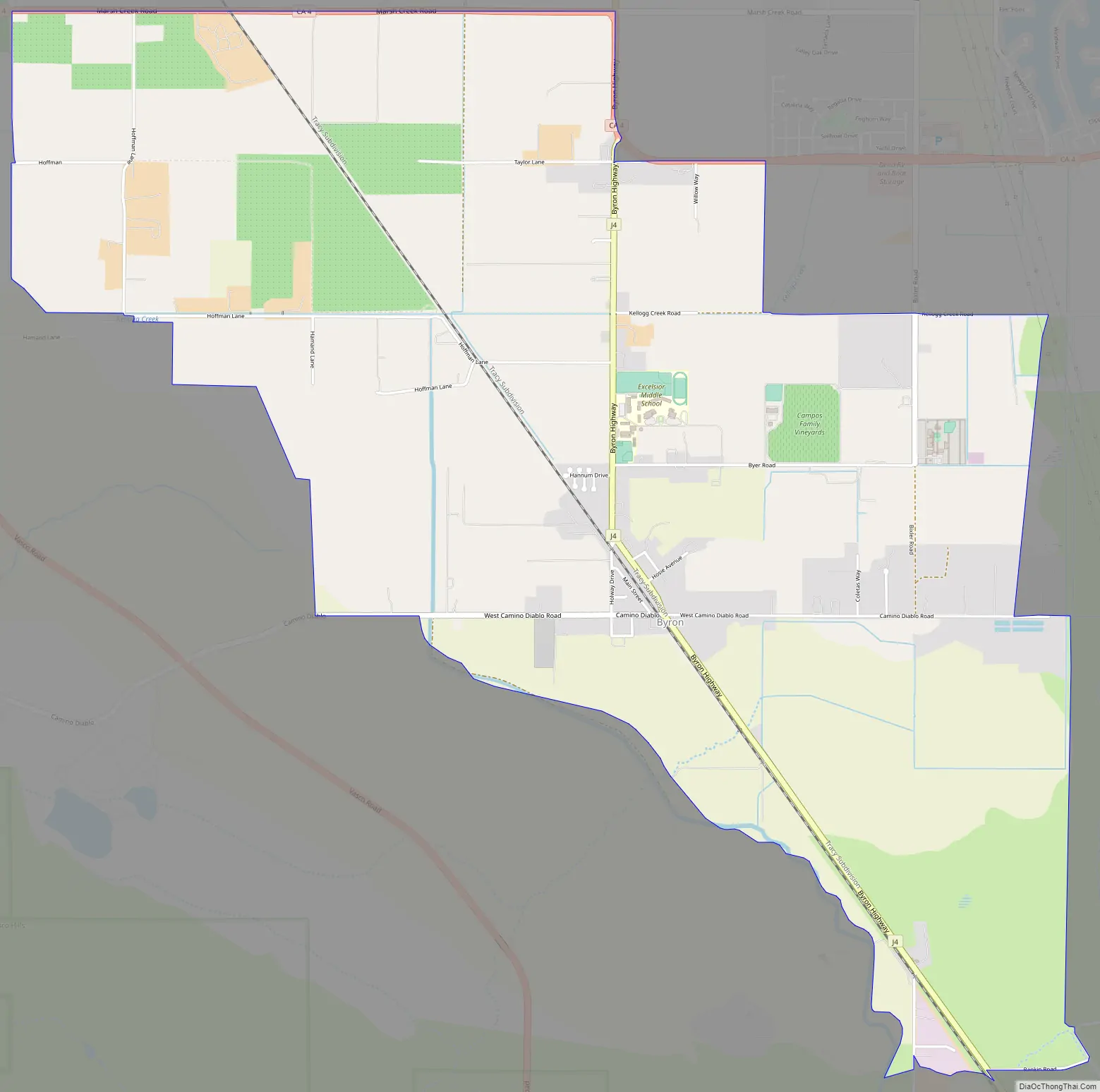
Online Interactive Map
Click on ![]() to view map in "full screen" mode.
to view map in "full screen" mode.
Byron location map. Where is Byron CDP?
History
Byron’s location was part of a land grant that Jose Noriega received from the King of Spain in 1835. Noriega then sold 17,000 acres to John Marsh (pioneer) for the equivalent of $500 (three U.S. cents per acre). In 1841, the Bidwell-Bartelson wagon train arrived at Marsh’s ranch with the earliest Anglo settlers from the east.
Byron’s first post office opened in 1878. Byron is named after an employee of the San Pablo, and the eastern U. S. and Pacific Railroad.
In 1942, all of the town’s residents of Japanese descent were forcibly removed by the US government with pressure from California agricultural interests and taken to Turlock assembly center.
In 1960, Contra Costa County built the Orin Allen Youth Rehabilitation Center, better known informally as the Boys’ Ranch on a 50 acres (200,000 m) tract immediately southeast of Byron. The Boys’ Ranch is a minimum-security facility that houses up to 100 youthful offenders. The property has no security fence to contain residents within the perimeter and includes dormitories, classrooms, a kitchen and dining facility, athletic facilities and administrative offices which occupy about one-third of the area. Its objective was stated as rehabilitation, rather than simply detention.
In 2008, a Contra Costa County Grand Jury began an investigation into whether the facility was cost-effective, or whether it should be permanently closed. It began by conducting an unannounced site inspection in September, 2008. In 2009, it released its report to the county commissioners. The report identified 21 defects at the facility that needed correction.
Byron Road Map
Byron city Satellite Map

Geography
According to the United States Census Bureau, the CDP has a total area of 6.5 square miles (17 km), all of it land. It is located 5.5 miles (9 km) southeast of Brentwood.
Climate
This region experiences hot and dry summers, with average monthly high temperatures varying from 55 degrees in January to 93 degrees in July. Byron is windy, and dust devils sometimes appear. According to the Köppen Climate Classification system, Byron has a warm-summer Mediterranean climate, abbreviated “Csb” on climate maps.
Gallery
The San Francisco Call reporting the Byron Train Disaster, December 1902
Families of Japanese ancestry being removed from Byron during World War II
Main Street, Byron, California 2008
See also
Map of California State and its subdivision:- Alameda
- Alpine
- Amador
- Butte
- Calaveras
- Colusa
- Contra Costa
- Del Norte
- El Dorado
- Fresno
- Glenn
- Humboldt
- Imperial
- Inyo
- Kern
- Kings
- Lake
- Lassen
- Los Angeles
- Madera
- Marin
- Mariposa
- Mendocino
- Merced
- Modoc
- Mono
- Monterey
- Napa
- Nevada
- Orange
- Placer
- Plumas
- Riverside
- Sacramento
- San Benito
- San Bernardino
- San Diego
- San Francisco
- San Joaquin
- San Luis Obispo
- San Mateo
- Santa Barbara
- Santa Clara
- Santa Cruz
- Shasta
- Sierra
- Siskiyou
- Solano
- Sonoma
- Stanislaus
- Sutter
- Tehama
- Trinity
- Tulare
- Tuolumne
- Ventura
- Yolo
- Yuba
- Alabama
- Alaska
- Arizona
- Arkansas
- California
- Colorado
- Connecticut
- Delaware
- District of Columbia
- Florida
- Georgia
- Hawaii
- Idaho
- Illinois
- Indiana
- Iowa
- Kansas
- Kentucky
- Louisiana
- Maine
- Maryland
- Massachusetts
- Michigan
- Minnesota
- Mississippi
- Missouri
- Montana
- Nebraska
- Nevada
- New Hampshire
- New Jersey
- New Mexico
- New York
- North Carolina
- North Dakota
- Ohio
- Oklahoma
- Oregon
- Pennsylvania
- Rhode Island
- South Carolina
- South Dakota
- Tennessee
- Texas
- Utah
- Vermont
- Virginia
- Washington
- West Virginia
- Wisconsin
- Wyoming


