Calwa (formerly, Calwa City) is an unincorporated census-designated place in Fresno County, California, United States. The population was 2,052 at the 2010 census, up from 762 in 2000. Calwa is located 4 miles (6.4 km) south-southeast of downtown Fresno, at an elevation of 292 feet (89 m). The name was taken from the acronym for “California Wine Association” (CalWA).
| Name: | Calwa CDP |
|---|---|
| LSAD Code: | 57 |
| LSAD Description: | CDP (suffix) |
| State: | California |
| County: | Fresno County |
| Elevation: | 292 ft (89 m) |
| Total Area: | 0.58 sq mi (1.50 km²) |
| Land Area: | 0.57 sq mi (1.47 km²) |
| Water Area: | 0.01 sq mi (0.03 km²) 0% |
| Total Population: | 1,776 |
| Population Density: | 3,126.76/sq mi (1,208.12/km²) |
| ZIP code: | 93725, 93745 |
| Area code: | 559 |
| FIPS code: | 0610032 |
Online Interactive Map
Click on ![]() to view map in "full screen" mode.
to view map in "full screen" mode.
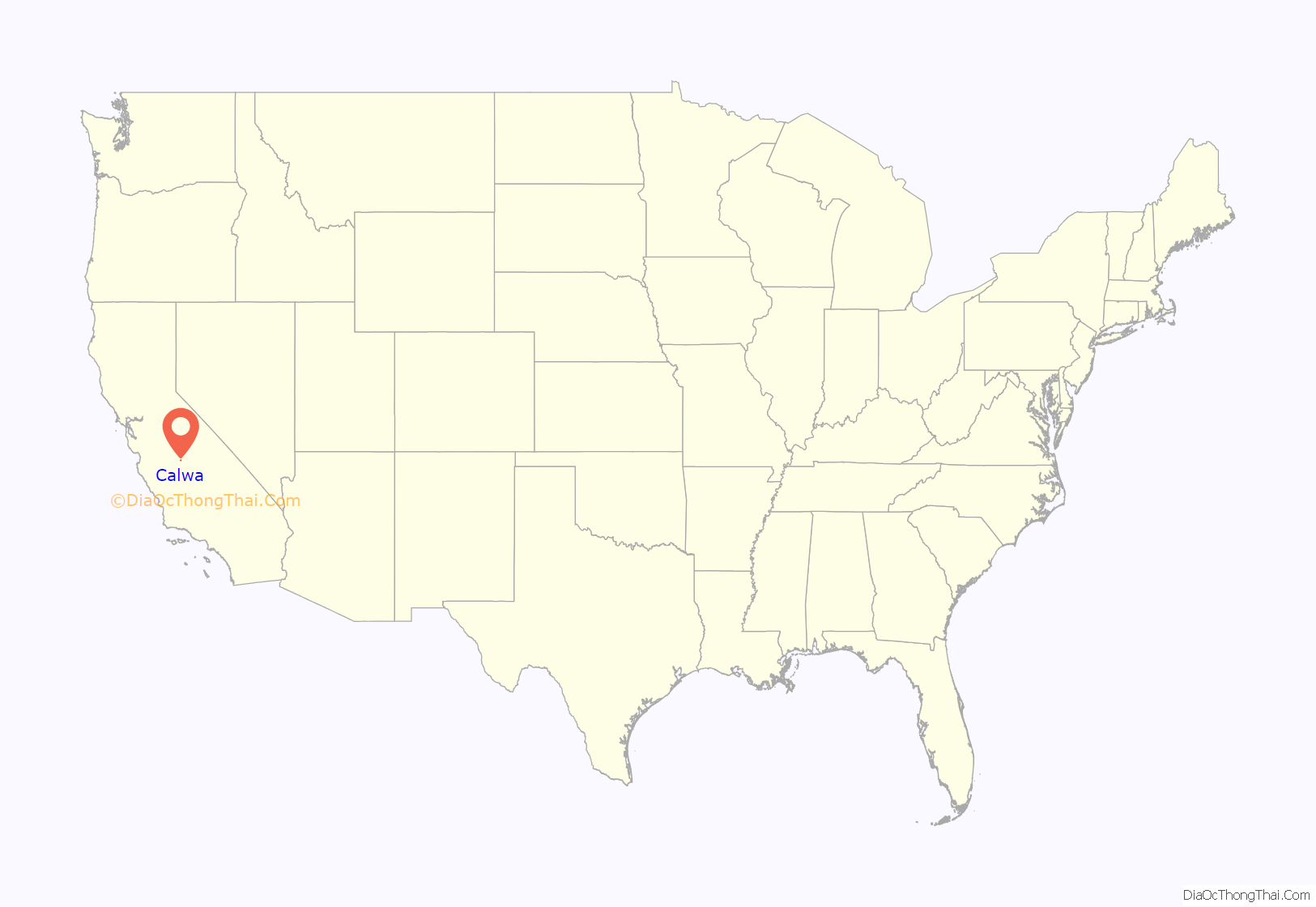
Calwa location map. Where is Calwa CDP?
History
In 1885, the land of what is now Calwa, was improved and cultivated by Hugh William La Rue to plant an orchard and vineyard. His first crop was ruined by a grasshopper pest in 1886 and he sought to plant elsewhere. Calwa became a railroad town when Santa Fe Railways invested one million dollars to build a switching yard and houses for railway employees. Southern Pacific Railroad also passed through Calwa. The Calwa City post office opened in 1913, and changed its name to Calwa in 1949.
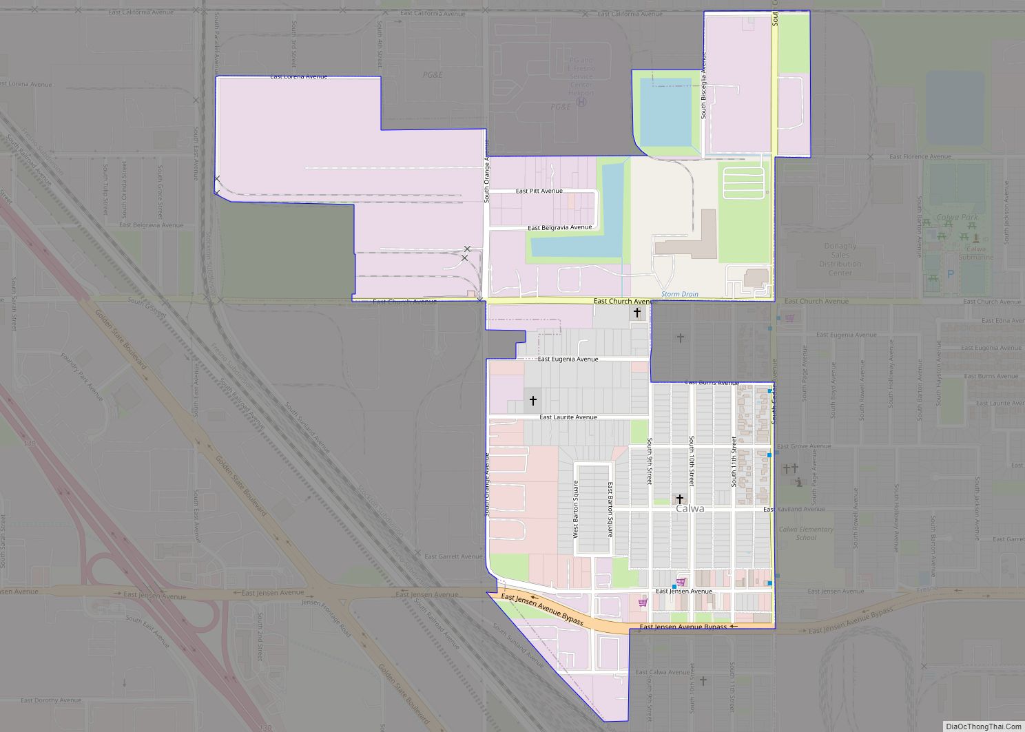
Calwa Road Map
Calwa city Satellite Map
Geography
According to the United States Census Bureau, the community has a total area of 0.6 square miles (1.6 km), all land. Calwa is an almost complete county island surrounded by the city of Fresno on all sides except the southeast corner.
See also
Map of California State and its subdivision:- Alameda
- Alpine
- Amador
- Butte
- Calaveras
- Colusa
- Contra Costa
- Del Norte
- El Dorado
- Fresno
- Glenn
- Humboldt
- Imperial
- Inyo
- Kern
- Kings
- Lake
- Lassen
- Los Angeles
- Madera
- Marin
- Mariposa
- Mendocino
- Merced
- Modoc
- Mono
- Monterey
- Napa
- Nevada
- Orange
- Placer
- Plumas
- Riverside
- Sacramento
- San Benito
- San Bernardino
- San Diego
- San Francisco
- San Joaquin
- San Luis Obispo
- San Mateo
- Santa Barbara
- Santa Clara
- Santa Cruz
- Shasta
- Sierra
- Siskiyou
- Solano
- Sonoma
- Stanislaus
- Sutter
- Tehama
- Trinity
- Tulare
- Tuolumne
- Ventura
- Yolo
- Yuba
- Alabama
- Alaska
- Arizona
- Arkansas
- California
- Colorado
- Connecticut
- Delaware
- District of Columbia
- Florida
- Georgia
- Hawaii
- Idaho
- Illinois
- Indiana
- Iowa
- Kansas
- Kentucky
- Louisiana
- Maine
- Maryland
- Massachusetts
- Michigan
- Minnesota
- Mississippi
- Missouri
- Montana
- Nebraska
- Nevada
- New Hampshire
- New Jersey
- New Mexico
- New York
- North Carolina
- North Dakota
- Ohio
- Oklahoma
- Oregon
- Pennsylvania
- Rhode Island
- South Carolina
- South Dakota
- Tennessee
- Texas
- Utah
- Vermont
- Virginia
- Washington
- West Virginia
- Wisconsin
- Wyoming
