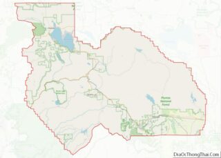
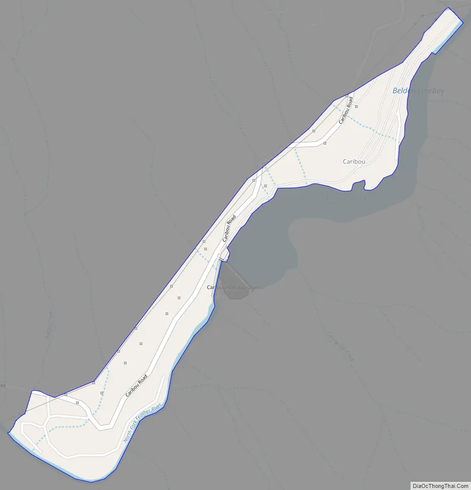
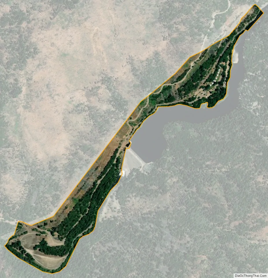
Caribou (formerly Cariboo) is a census-designated place located in Plumas County, California, United States. As of the 2010 Census, the town had a population of 0. Caribou is located on the North Fork Feather River, 9.5 miles (15.3 km) south of Almanor. The closest communities are Belden to the southwest, Twain to the southeast, Canyondam to the north, and Greenville to the east.
| Name: | Caribou CDP |
|---|---|
| LSAD Code: | 57 |
| LSAD Description: | CDP (suffix) |
| State: | California |
| County: | Plumas County |
| Elevation: | 3,287 ft (1,002 m) |
| Total Area: | 0.16 sq mi (0.42 km²) |
| Land Area: | 0.16 sq mi (0.42 km²) |
| Water Area: | 0.00 sq mi (0.00 km²) 0% |
| Total Population: | 1 |
| Population Density: | 6.17/sq mi (2.38/km²) |
| ZIP code: | 95915 |
| Area code: | 530 |
| FIPS code: | 0611166 |
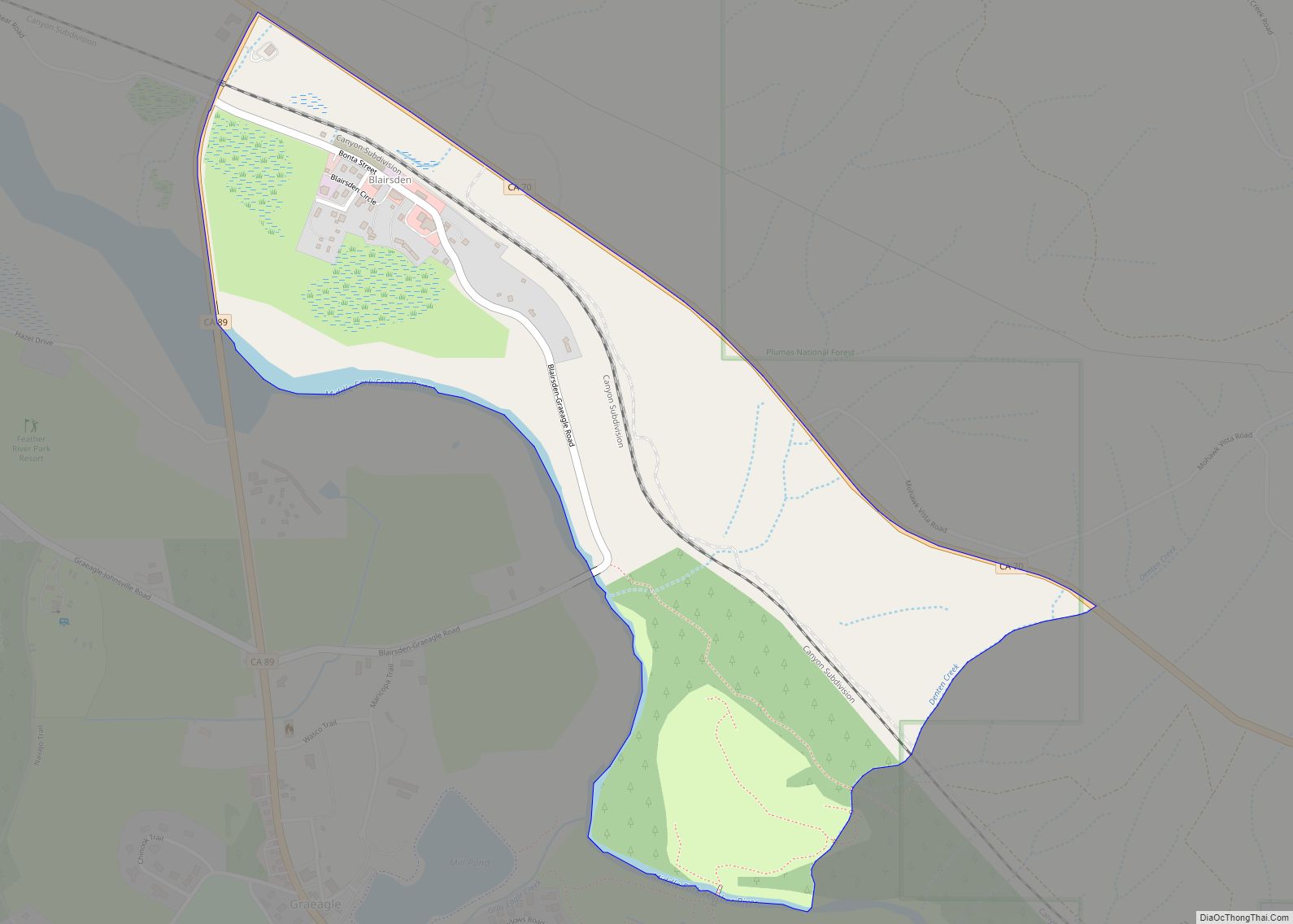
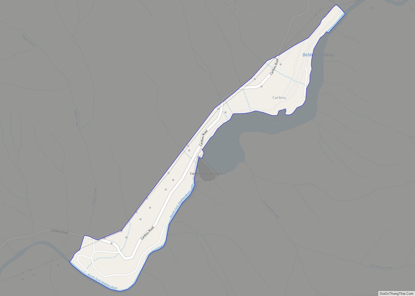
Online Interactive Map
Click on ![]() to view map in "full screen" mode.
to view map in "full screen" mode.
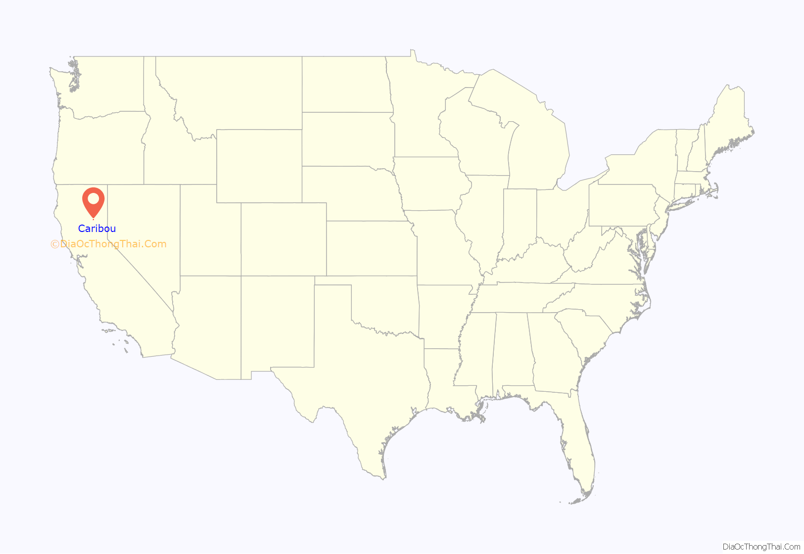
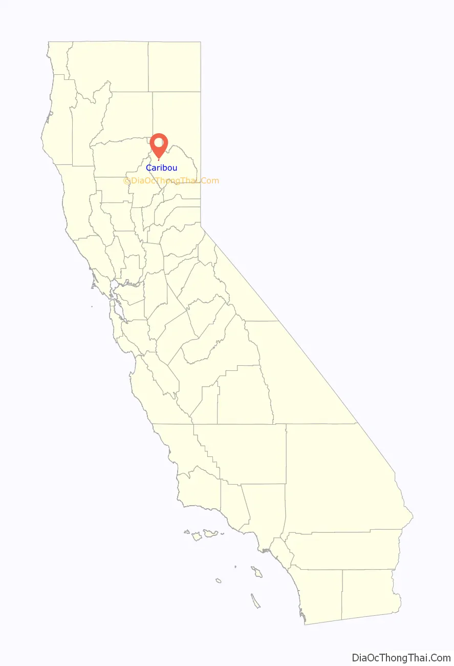
Caribou location map. Where is Caribou CDP?
History
The place started as a placer mining camp in 1850. The name honors an Indian miner named Johnny Caribou. The Caribou post office operated from 1922 to 1976.
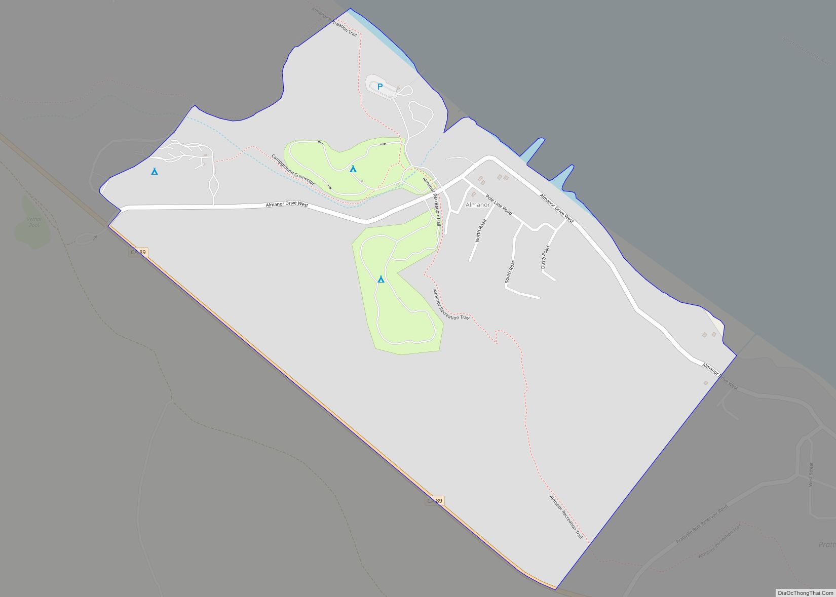
Caribou Road Map
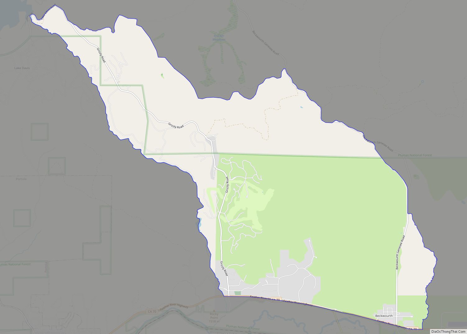
Caribou city Satellite Map
Geography
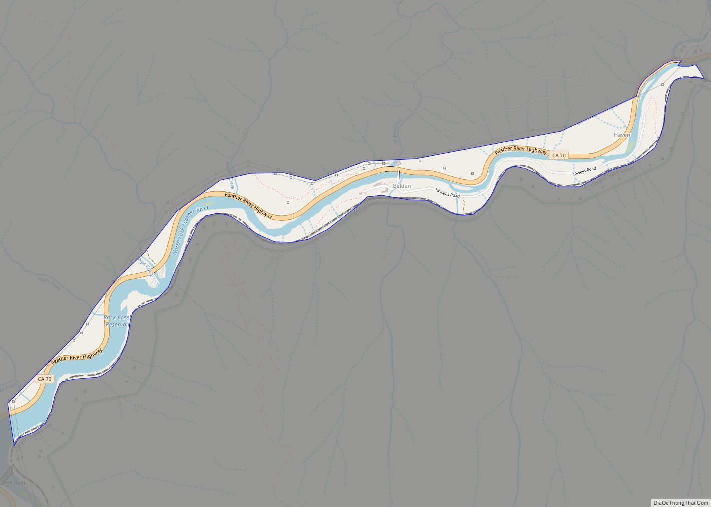
Caribou is located at 40°4’48” North, 121°9’27” West (40.079929, -121.157397).
According to the United States Census Bureau, the town has a total area of 0.2 square miles (0.52 km), of which, 0.2 square miles (0.52 km) of it is land and none of it is covered by water.
See also
Map of California State and its subdivision:- Alameda
- Alpine
- Amador
- Butte
- Calaveras
- Colusa
- Contra Costa
- Del Norte
- El Dorado
- Fresno
- Glenn
- Humboldt
- Imperial
- Inyo
- Kern
- Kings
- Lake
- Lassen
- Los Angeles
- Madera
- Marin
- Mariposa
- Mendocino
- Merced
- Modoc
- Mono
- Monterey
- Napa
- Nevada
- Orange
- Placer
- Plumas
- Riverside
- Sacramento
- San Benito
- San Bernardino
- San Diego
- San Francisco
- San Joaquin
- San Luis Obispo
- San Mateo
- Santa Barbara
- Santa Clara
- Santa Cruz
- Shasta
- Sierra
- Siskiyou
- Solano
- Sonoma
- Stanislaus
- Sutter
- Tehama
- Trinity
- Tulare
- Tuolumne
- Ventura
- Yolo
- Yuba
- Alabama
- Alaska
- Arizona
- Arkansas
- California
- Colorado
- Connecticut
- Delaware
- District of Columbia
- Florida
- Georgia
- Hawaii
- Idaho
- Illinois
- Indiana
- Iowa
- Kansas
- Kentucky
- Louisiana
- Maine
- Maryland
- Massachusetts
- Michigan
- Minnesota
- Mississippi
- Missouri
- Montana
- Nebraska
- Nevada
- New Hampshire
- New Jersey
- New Mexico
- New York
- North Carolina
- North Dakota
- Ohio
- Oklahoma
- Oregon
- Pennsylvania
- Rhode Island
- South Carolina
- South Dakota
- Tennessee
- Texas
- Utah
- Vermont
- Virginia
- Washington
- West Virginia
- Wisconsin
- Wyoming