Greenville is a unincorporated community in Plumas County, California, United States, on the north-west side of Indian Valley. Most of the buildings were destroyed by the Dixie Fire in August 2021. The population was 1,129 at the 2010 census, down from 1,160 at the 2000 census. For statistical purposes, the United States Census Bureau has defined Greenville as a census-designated place (CDP). According to the Census Bureau, the CDP has a total area of 8.0 square miles (21 km), all of it land.
| Name: | Greenville CDP |
|---|---|
| LSAD Code: | 57 |
| LSAD Description: | CDP (suffix) |
| State: | California |
| County: | Plumas County |
| Elevation: | 3,586 ft (1,093 m) |
| Total Area: | 7.992 sq mi (20.699 km²) |
| Land Area: | 7.992 sq mi (20.699 km²) |
| Water Area: | 0 sq mi (0 km²) 0% |
| Total Population: | 1,026 |
| Population Density: | 130/sq mi (50/km²) |
| ZIP code: | 95947 |
| Area code: | 530 |
| FIPS code: | 0631162 |
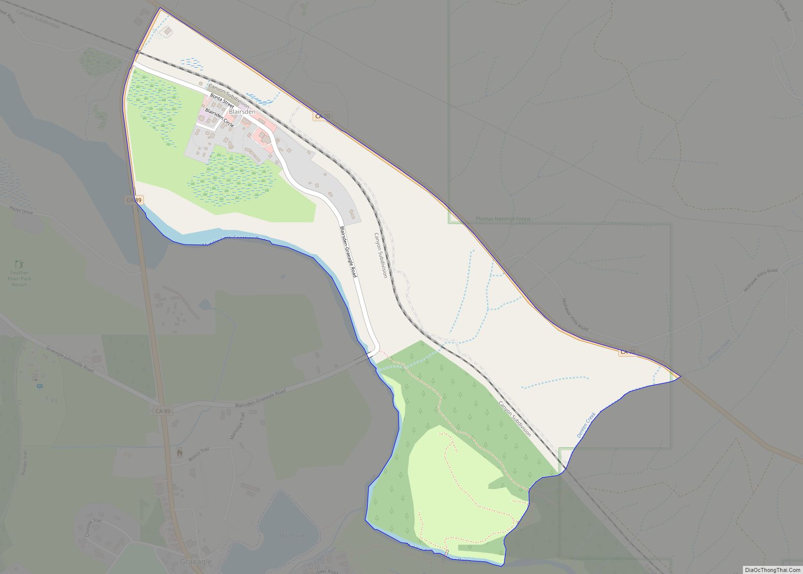
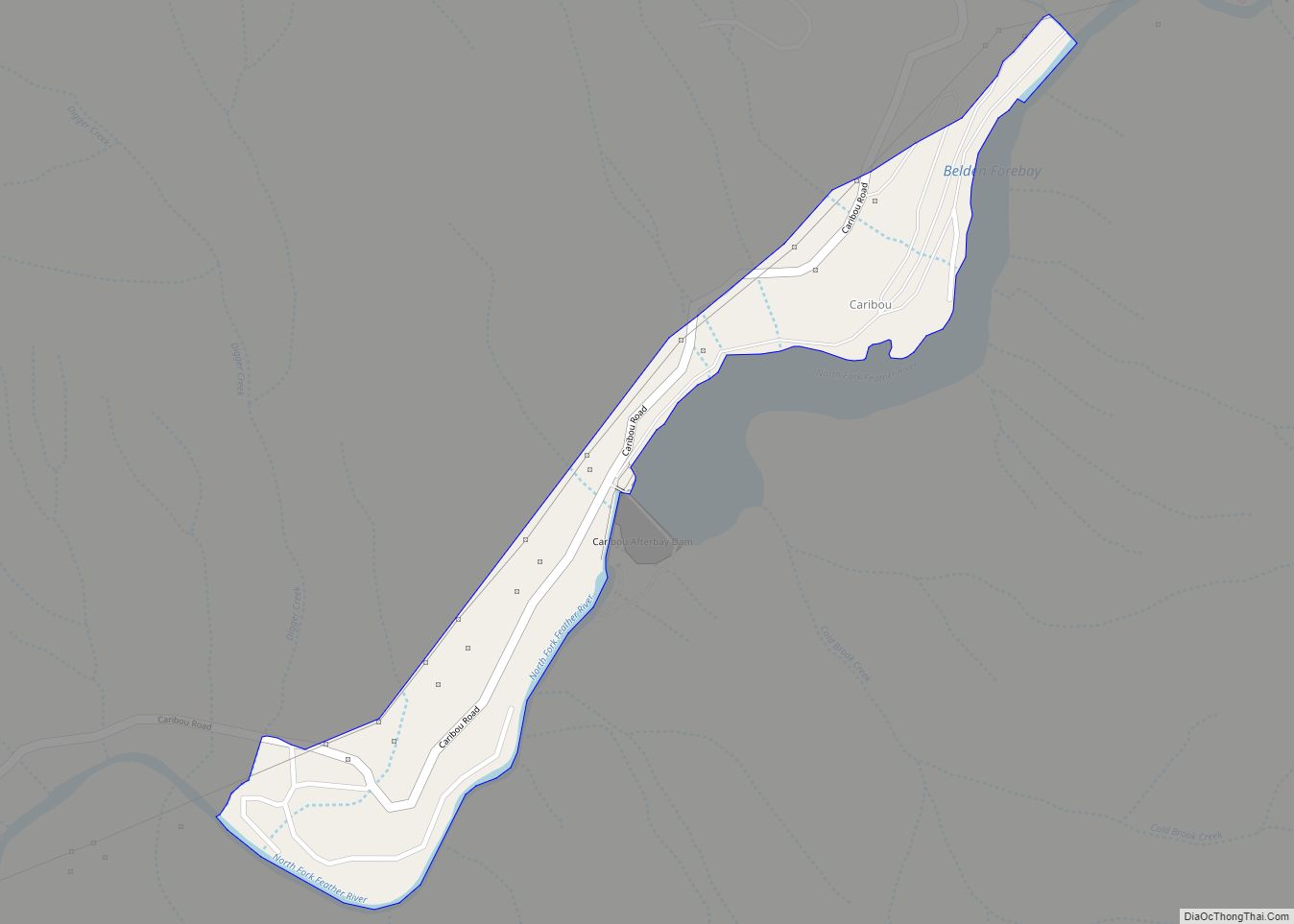
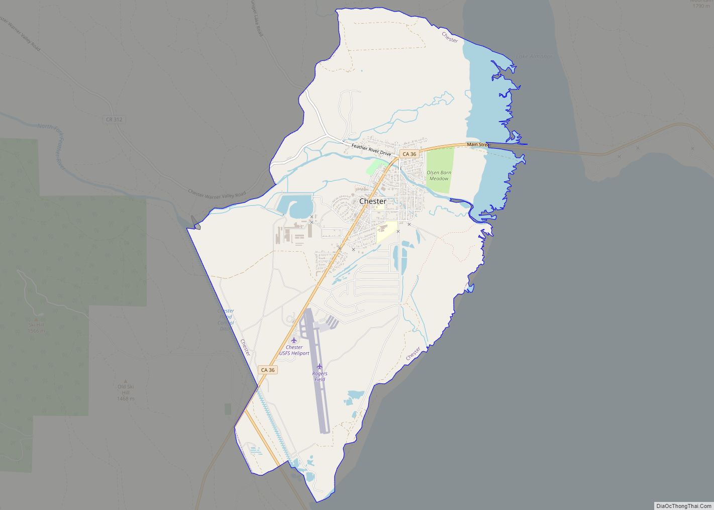
Online Interactive Map
Click on ![]() to view map in "full screen" mode.
to view map in "full screen" mode.
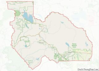
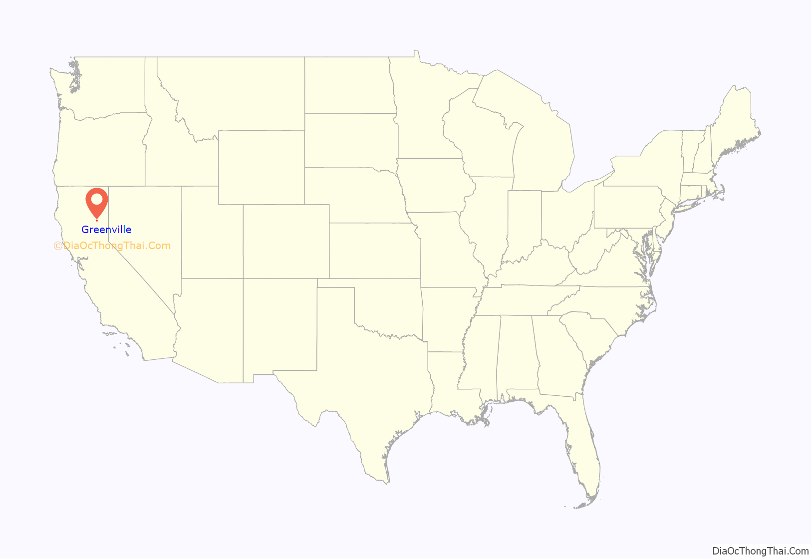
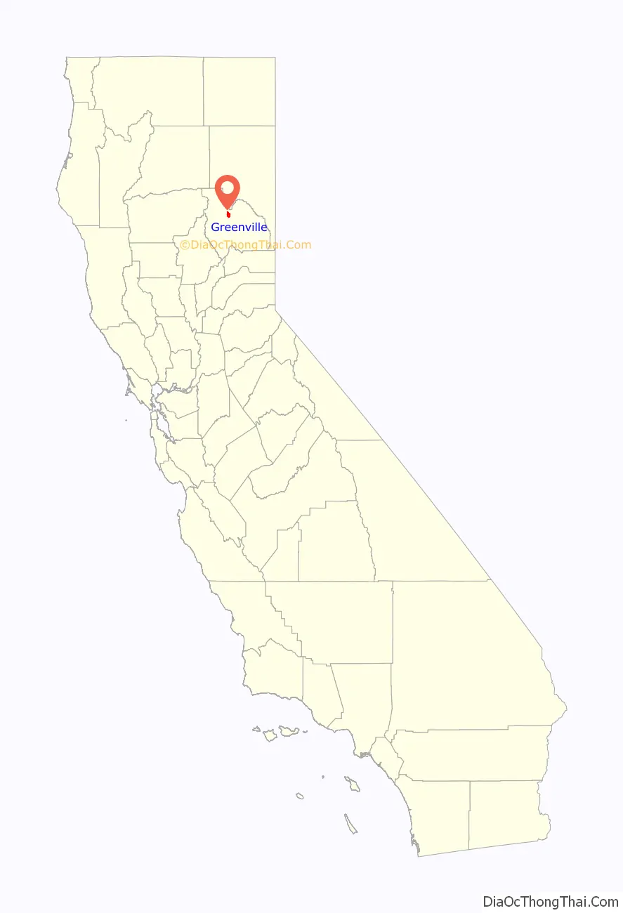
Greenville location map. Where is Greenville CDP?
History
The Maidu people had been living in the valley area around present-day Greenville for centuries when English-speaking settlers arrived in the 1850s during the Gold Rush. Among the earliest structures built in the community was a boarding house operated by Mr. and Mrs. Green. The community was named for Green, who was killed in the collapse of the first Round Valley Dam. When Henry C. Bidwell arrived in 1862 and opened a trading post, several business owners moved down from Round Valley to Greenville.
Cheney Lumber Company built a wood mill near Greenville.
1881 fire
A fire destroyed many buildings in 1881; they were quickly rebuilt. Greenville’s population in 1882 was 500.
2021 fire
On August 4, 2021, about 75% of Greenville’s buildings were destroyed by the Dixie Fire, the largest single (i.e. non-complex) wildfire in the state’s history, and the second-largest overall (after the August Complex fire of 2020). Fire officials stated that the library, fire department, and most downtown homes were burned. The Los Angeles Times estimated that about $1 billion, through government aid, insurance payouts, lawsuits against Pacific Gas & Electric, corporate investment and philanthropic donations, has been promised, paid or will be forced to pay for the damage and rebuilding of Greenville.
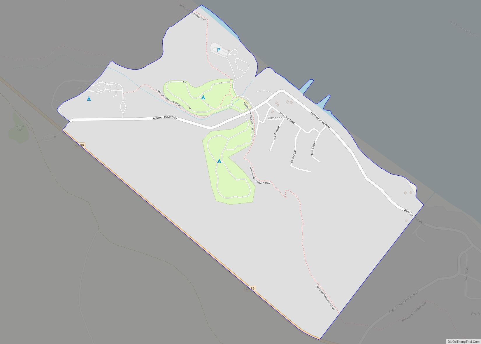
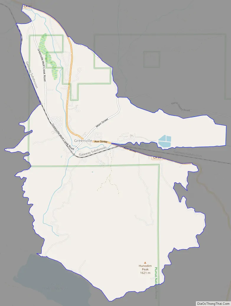
Greenville Road Map
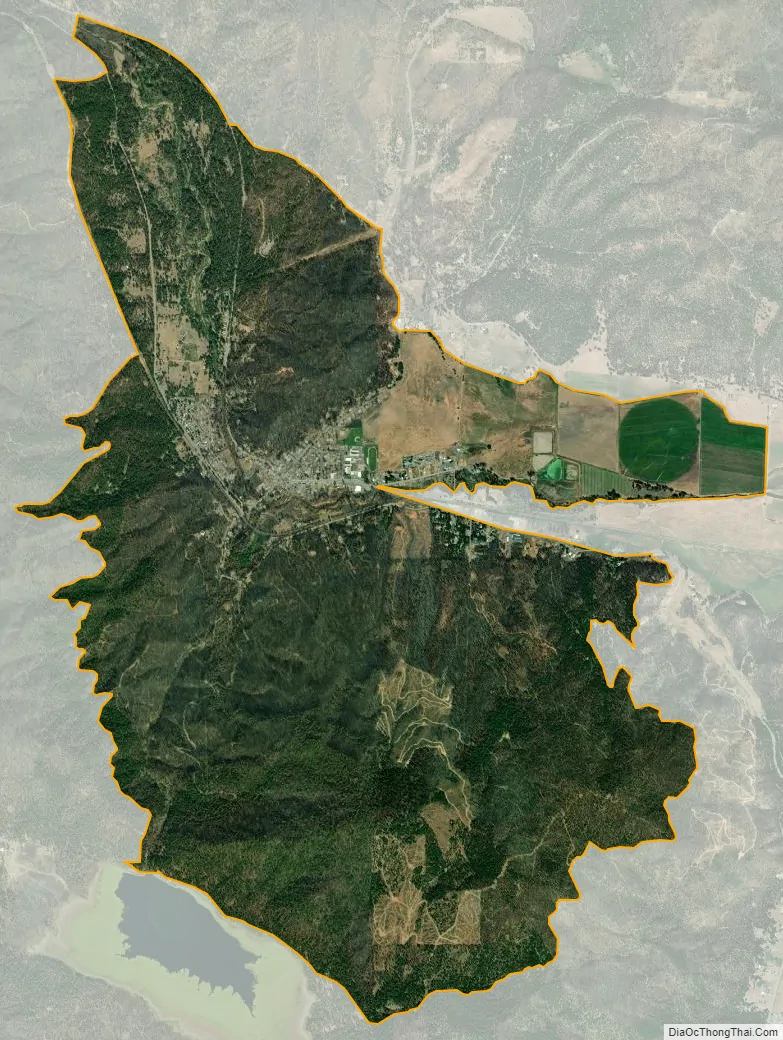
Greenville city Satellite Map
See also
Map of California State and its subdivision:- Alameda
- Alpine
- Amador
- Butte
- Calaveras
- Colusa
- Contra Costa
- Del Norte
- El Dorado
- Fresno
- Glenn
- Humboldt
- Imperial
- Inyo
- Kern
- Kings
- Lake
- Lassen
- Los Angeles
- Madera
- Marin
- Mariposa
- Mendocino
- Merced
- Modoc
- Mono
- Monterey
- Napa
- Nevada
- Orange
- Placer
- Plumas
- Riverside
- Sacramento
- San Benito
- San Bernardino
- San Diego
- San Francisco
- San Joaquin
- San Luis Obispo
- San Mateo
- Santa Barbara
- Santa Clara
- Santa Cruz
- Shasta
- Sierra
- Siskiyou
- Solano
- Sonoma
- Stanislaus
- Sutter
- Tehama
- Trinity
- Tulare
- Tuolumne
- Ventura
- Yolo
- Yuba
- Alabama
- Alaska
- Arizona
- Arkansas
- California
- Colorado
- Connecticut
- Delaware
- District of Columbia
- Florida
- Georgia
- Hawaii
- Idaho
- Illinois
- Indiana
- Iowa
- Kansas
- Kentucky
- Louisiana
- Maine
- Maryland
- Massachusetts
- Michigan
- Minnesota
- Mississippi
- Missouri
- Montana
- Nebraska
- Nevada
- New Hampshire
- New Jersey
- New Mexico
- New York
- North Carolina
- North Dakota
- Ohio
- Oklahoma
- Oregon
- Pennsylvania
- Rhode Island
- South Carolina
- South Dakota
- Tennessee
- Texas
- Utah
- Vermont
- Virginia
- Washington
- West Virginia
- Wisconsin
- Wyoming