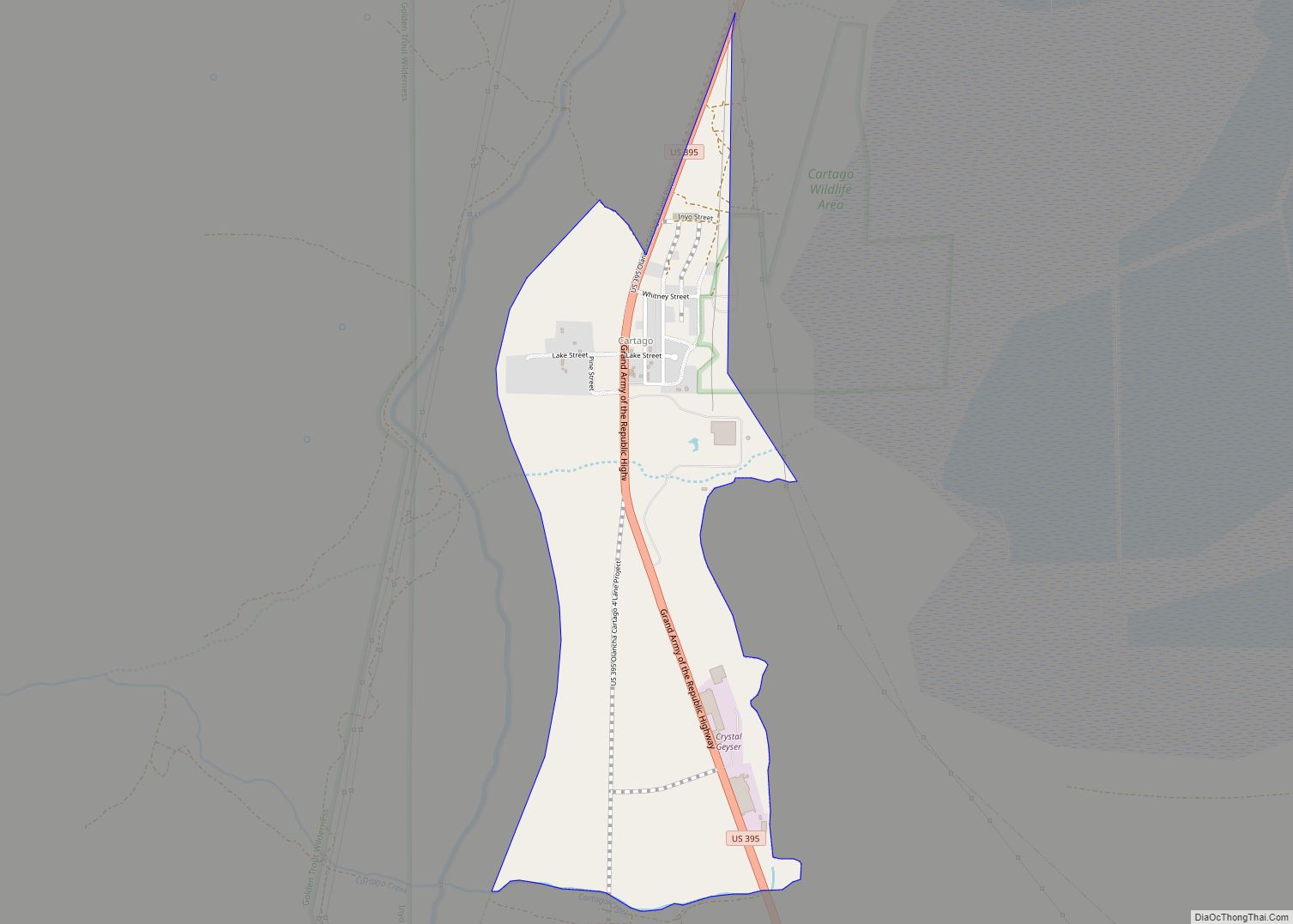
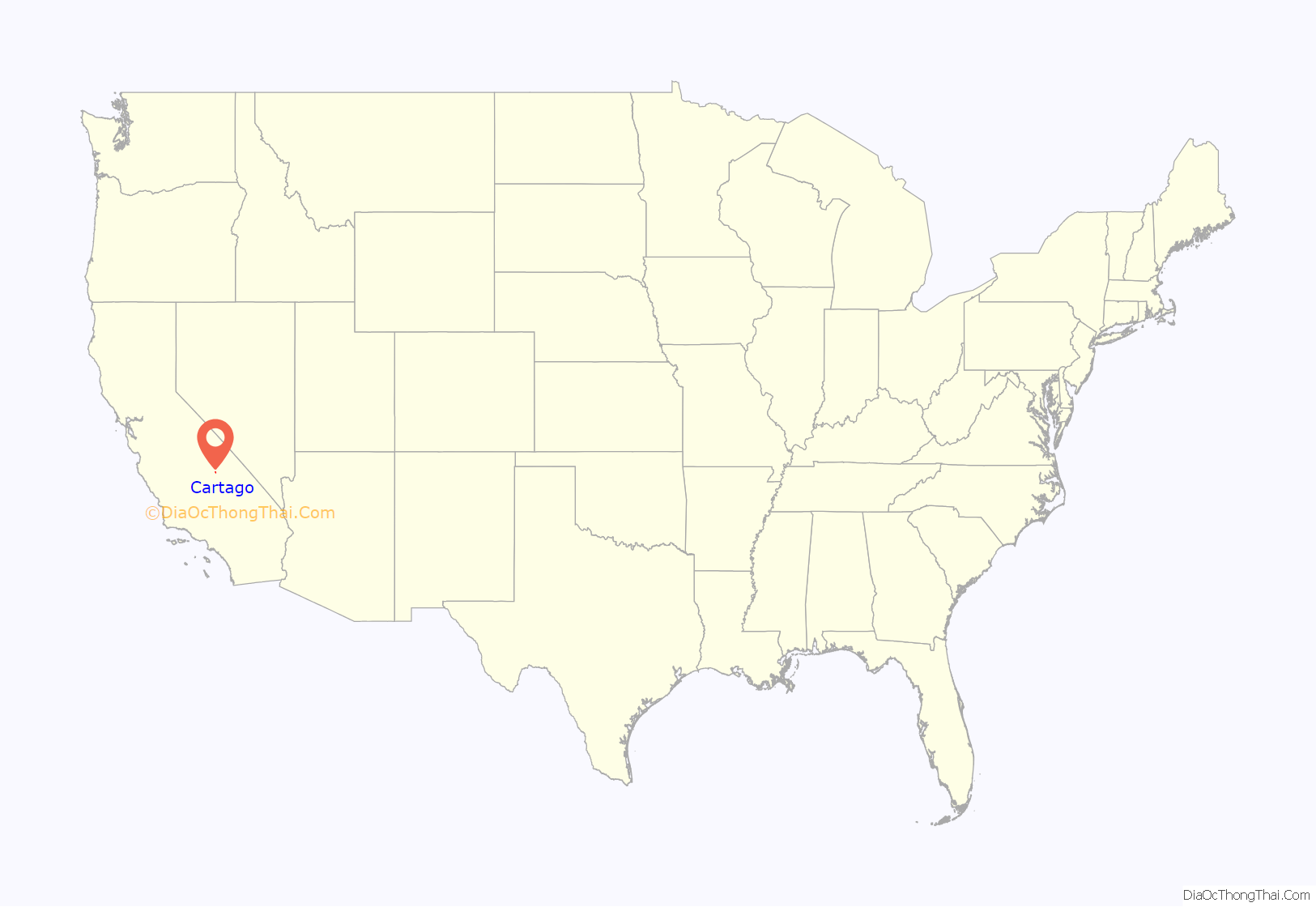
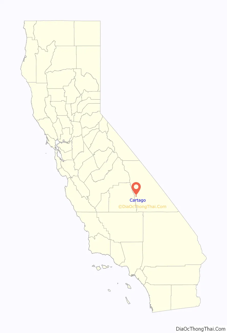
Cartago (Spanish for “Carthage”) is a census-designated place in Inyo County, California, United States. Cartago is located on the west side of Owens Lake 3 miles (4.8 km) north-northwest of Olancha, at an elevation of 3629 feet (1106 m). The population was 92 at the 2010 census, down from 109 at the 2000 census.
| Name: | Cartago CDP |
|---|---|
| LSAD Code: | 57 |
| LSAD Description: | CDP (suffix) |
| State: | California |
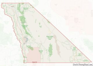
| County: | Inyo County |
| Elevation: | 3,629 ft (1,106 m) |
| Total Area: | 1.17 sq mi (3.04 km²) |
| Land Area: | 1.17 sq mi (3.03 km²) |
| Water Area: | 0.00 sq mi (0.01 km²) 0.24% |
| Total Population: | 62 |
| Population Density: | 53.04/sq mi (20.47/km²) |
| ZIP code: | 93549 |
| FIPS code: | 0611600 |
| GNISfeature ID: | 1660442 |
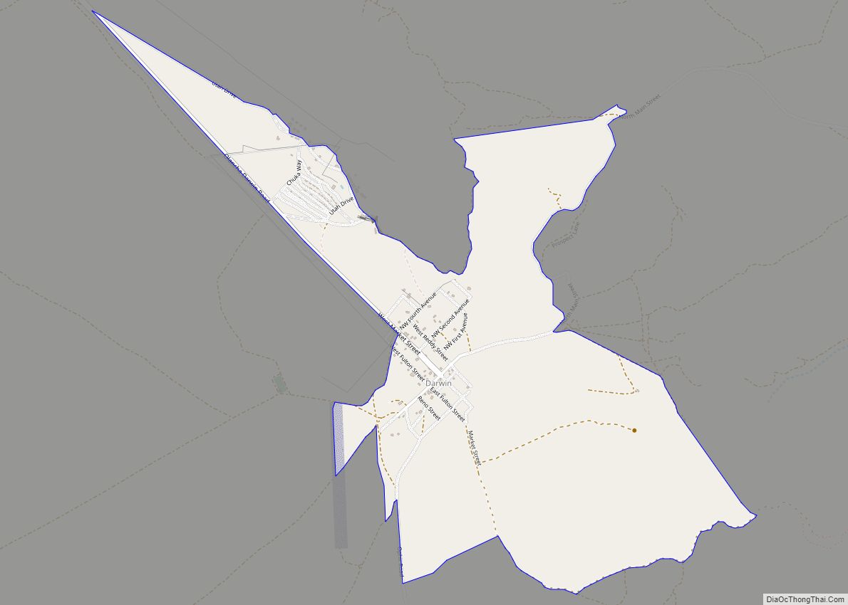
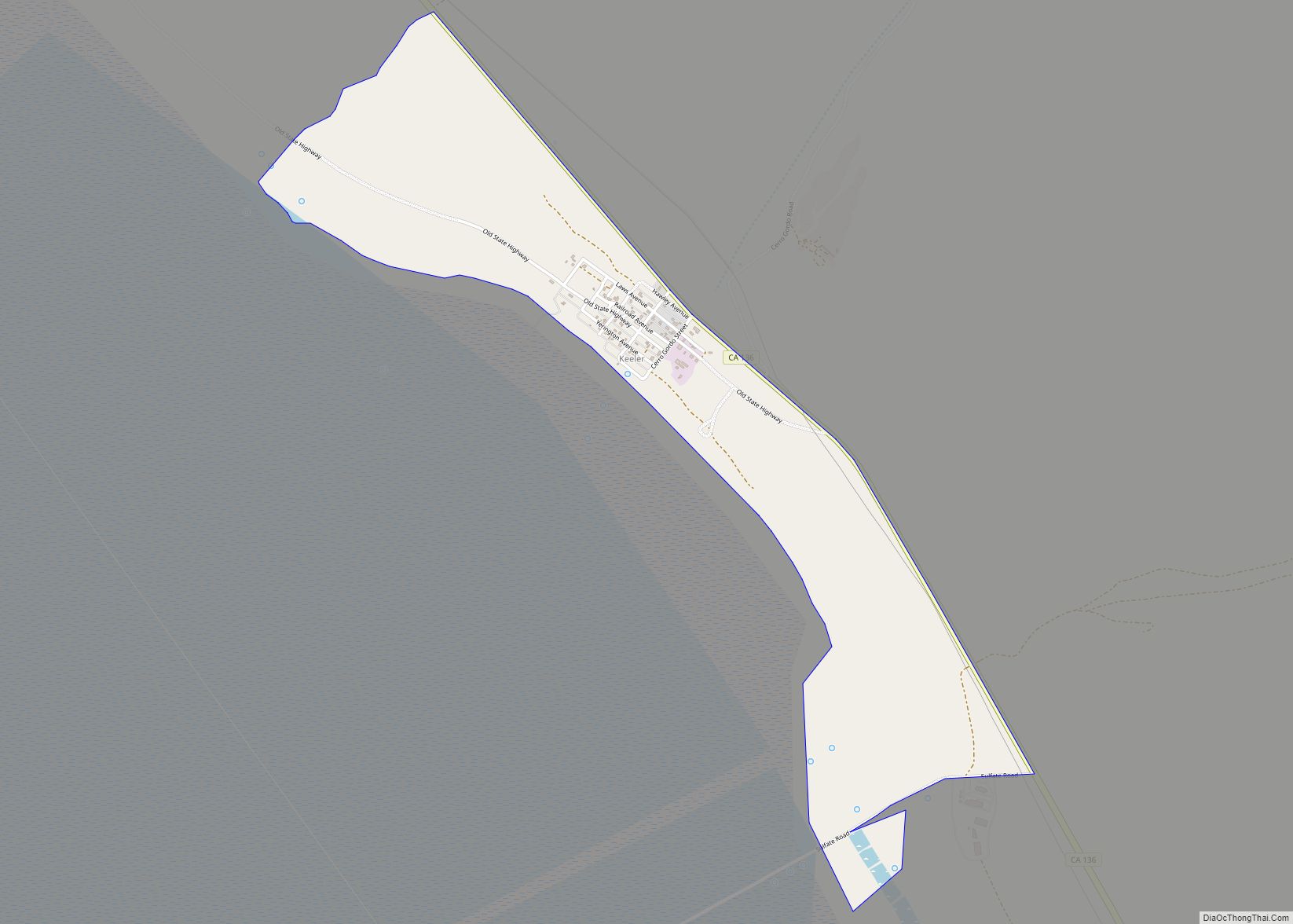
Online Interactive Map
Click on ![]() to view map in "full screen" mode.
to view map in "full screen" mode.
Cartago location map. Where is Cartago CDP?
History
Cartago took its name from the Spanish name for ancient Carthage. The first post office at Cartago opened in 1918. During the heyday of mining in the area (the 1870s), Cartago was a steamboat port for shipment of wood and ore. Prior names include Carthage, Daniersburg, and Lakeville.
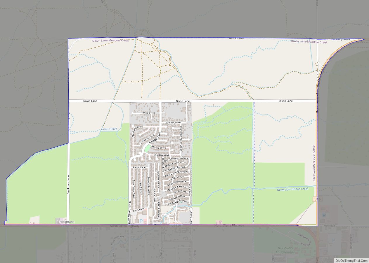
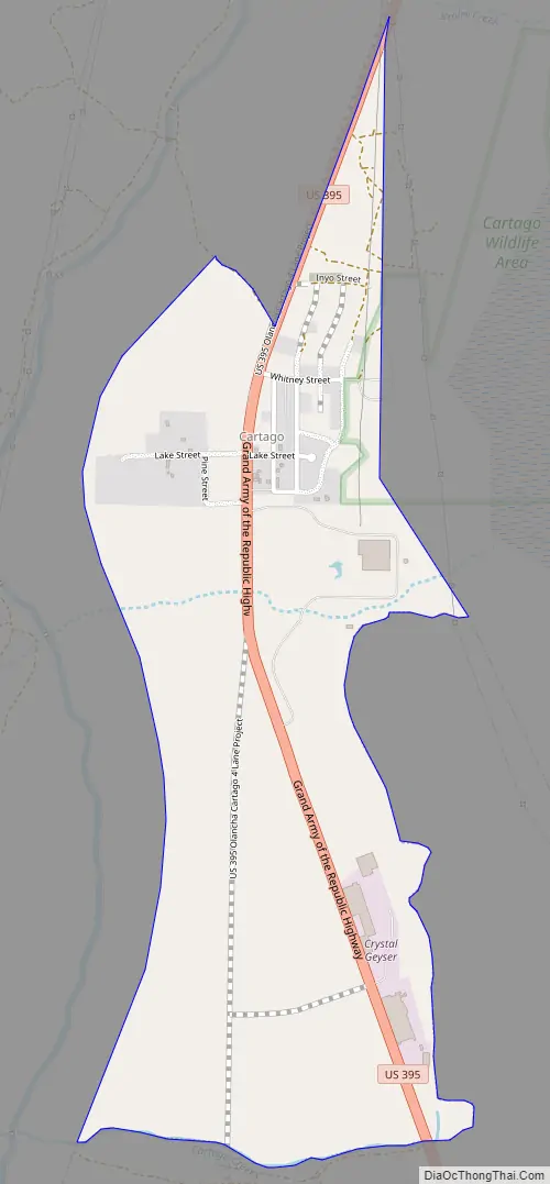
Cartago Road Map
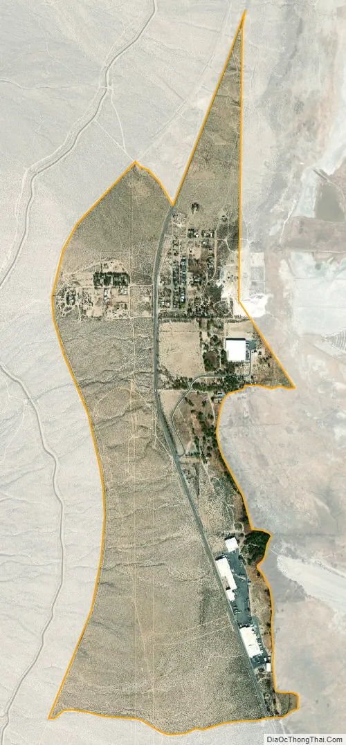
Cartago city Satellite Map
Geography
According to the United States Census Bureau, the CDP has a total area of 1.2 square miles (3.1 km), over 99% of it land.
See also
Map of California State and its subdivision:- Alameda
- Alpine
- Amador
- Butte
- Calaveras
- Colusa
- Contra Costa
- Del Norte
- El Dorado
- Fresno
- Glenn
- Humboldt
- Imperial
- Inyo
- Kern
- Kings
- Lake
- Lassen
- Los Angeles
- Madera
- Marin
- Mariposa
- Mendocino
- Merced
- Modoc
- Mono
- Monterey
- Napa
- Nevada
- Orange
- Placer
- Plumas
- Riverside
- Sacramento
- San Benito
- San Bernardino
- San Diego
- San Francisco
- San Joaquin
- San Luis Obispo
- San Mateo
- Santa Barbara
- Santa Clara
- Santa Cruz
- Shasta
- Sierra
- Siskiyou
- Solano
- Sonoma
- Stanislaus
- Sutter
- Tehama
- Trinity
- Tulare
- Tuolumne
- Ventura
- Yolo
- Yuba
- Alabama
- Alaska
- Arizona
- Arkansas
- California
- Colorado
- Connecticut
- Delaware
- District of Columbia
- Florida
- Georgia
- Hawaii
- Idaho
- Illinois
- Indiana
- Iowa
- Kansas
- Kentucky
- Louisiana
- Maine
- Maryland
- Massachusetts
- Michigan
- Minnesota
- Mississippi
- Missouri
- Montana
- Nebraska
- Nevada
- New Hampshire
- New Jersey
- New Mexico
- New York
- North Carolina
- North Dakota
- Ohio
- Oklahoma
- Oregon
- Pennsylvania
- Rhode Island
- South Carolina
- South Dakota
- Tennessee
- Texas
- Utah
- Vermont
- Virginia
- Washington
- West Virginia
- Wisconsin
- Wyoming