Caruthers (/kəˈrʌðərz/) is a census-designated place (CDP) in Fresno County, California, United States. The population was 2,497 at the 2010 census, up from 2,103 at the 2000 census. Caruthers is located 15 miles (24 km) south of downtown Fresno, at an elevation of 246 feet (75 m).
| Name: | Caruthers CDP |
|---|---|
| LSAD Code: | 57 |
| LSAD Description: | CDP (suffix) |
| State: | California |
| County: | Fresno County |
| Elevation: | 246 ft (75 m) |
| Total Area: | 2.02 sq mi (5.24 km²) |
| Land Area: | 2.02 sq mi (5.24 km²) |
| Water Area: | 0.00 sq mi (0.00 km²) 0% |
| Total Population: | 2,613 |
| Population Density: | 1,291.65/sq mi (498.82/km²) |
| ZIP code: | 93609 |
| Area code: | 559 |
| FIPS code: | 0611614 |
Online Interactive Map
Click on ![]() to view map in "full screen" mode.
to view map in "full screen" mode.
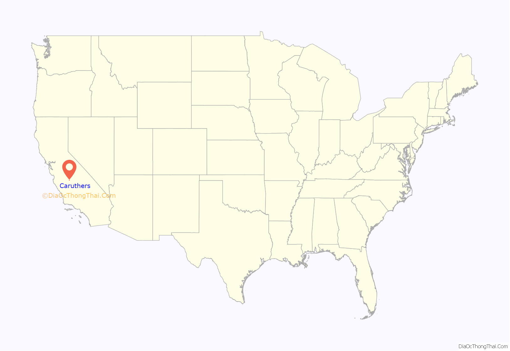
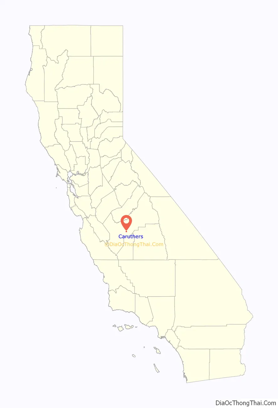
Caruthers location map. Where is Caruthers CDP?
History
The first post office in Caruthers opened in 1891. The name of the town honors W.A. Caruthers, a local farmer. Fresno County Public Library opened a branch in Caruthers in 1911, in the town’s hotel. After moving to multiple locations, it occupied its current home in 2003, which is designed to emulate the look of a tank house and barn.
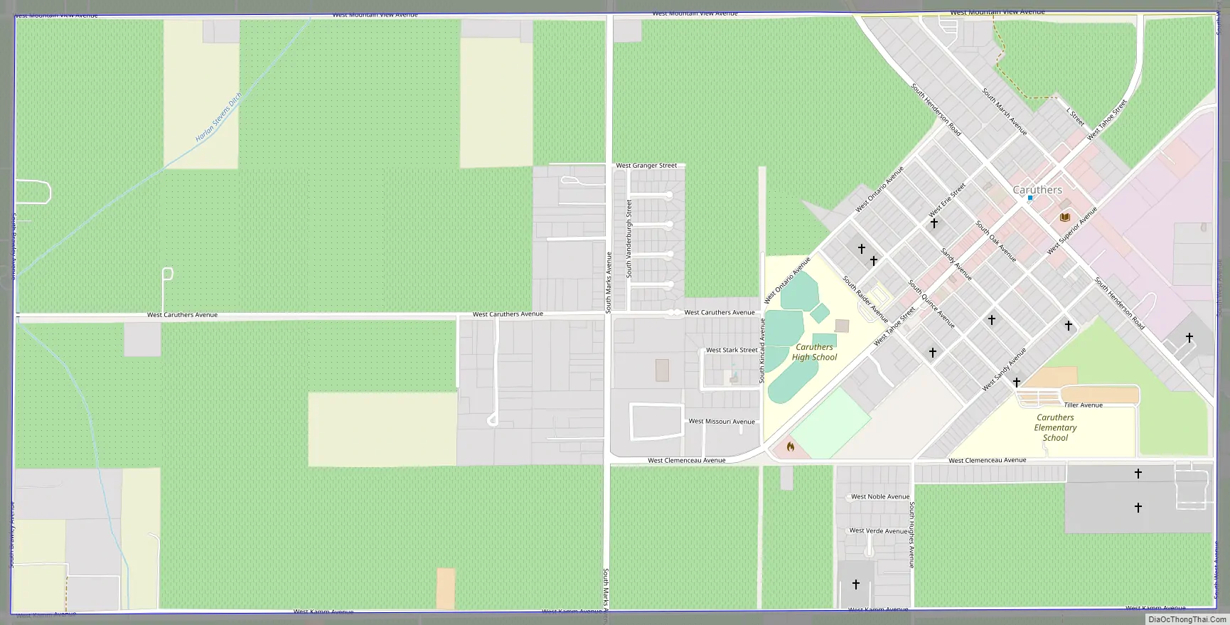
Caruthers Road Map
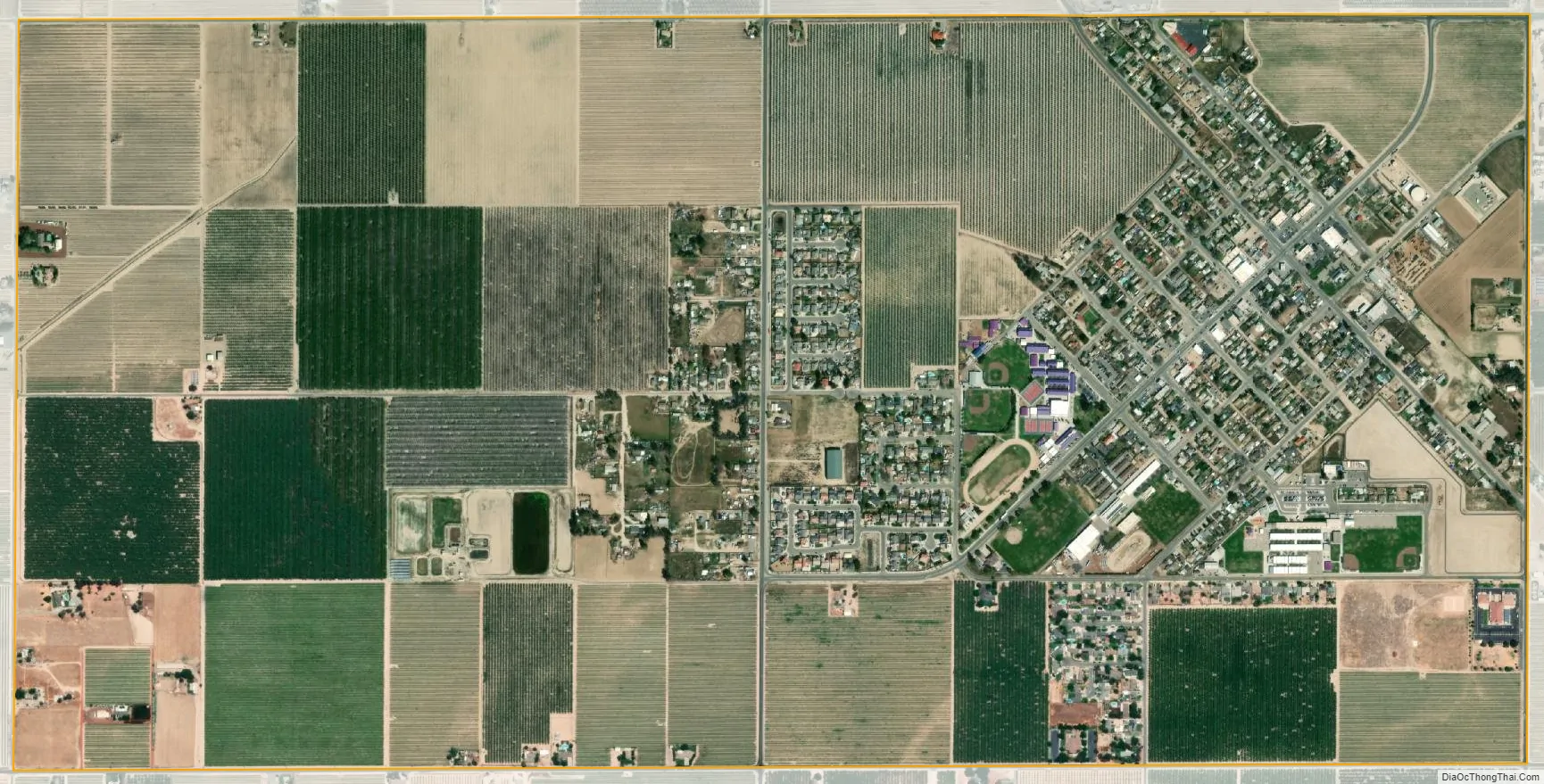
Caruthers city Satellite Map
Geography
According to the United States Census Bureau, the CDP has a total area of 2.0 square miles (5.2 km), all of it land.
See also
Map of California State and its subdivision:- Alameda
- Alpine
- Amador
- Butte
- Calaveras
- Colusa
- Contra Costa
- Del Norte
- El Dorado
- Fresno
- Glenn
- Humboldt
- Imperial
- Inyo
- Kern
- Kings
- Lake
- Lassen
- Los Angeles
- Madera
- Marin
- Mariposa
- Mendocino
- Merced
- Modoc
- Mono
- Monterey
- Napa
- Nevada
- Orange
- Placer
- Plumas
- Riverside
- Sacramento
- San Benito
- San Bernardino
- San Diego
- San Francisco
- San Joaquin
- San Luis Obispo
- San Mateo
- Santa Barbara
- Santa Clara
- Santa Cruz
- Shasta
- Sierra
- Siskiyou
- Solano
- Sonoma
- Stanislaus
- Sutter
- Tehama
- Trinity
- Tulare
- Tuolumne
- Ventura
- Yolo
- Yuba
- Alabama
- Alaska
- Arizona
- Arkansas
- California
- Colorado
- Connecticut
- Delaware
- District of Columbia
- Florida
- Georgia
- Hawaii
- Idaho
- Illinois
- Indiana
- Iowa
- Kansas
- Kentucky
- Louisiana
- Maine
- Maryland
- Massachusetts
- Michigan
- Minnesota
- Mississippi
- Missouri
- Montana
- Nebraska
- Nevada
- New Hampshire
- New Jersey
- New Mexico
- New York
- North Carolina
- North Dakota
- Ohio
- Oklahoma
- Oregon
- Pennsylvania
- Rhode Island
- South Carolina
- South Dakota
- Tennessee
- Texas
- Utah
- Vermont
- Virginia
- Washington
- West Virginia
- Wisconsin
- Wyoming


