Casa Conejo (/ˌkɑːsə kəˈneɪoʊ/ (listen); Spanish for “Rabbit House”) is an unincorporated county island in Newbury Park, Ventura County, California, United States. It was the first planned community in Newbury Park and began building in 1960. When the city of Thousand Oaks incorporated 4 years later, the new developments in Newbury Park were incorporated into the city boundaries before being subdivided. The community is bordered by Old Conejo Road and US 101 to the north, Borchard Road to the south, Jenny Drive to the west, and Sequoia Middle School to the east. For statistical purposes, the United States Census Bureau has defined Casa Conejo as a census-designated place (CDP). The census definition of the area may not precisely correspond to local understanding of the area with the same name. The population was 3,249 at the 2010 census, up from 3,180 at the 2000 census. Casa Conejo is located in a roughly rectangle-shaped unincorporated area surrounded by the city of Thousand Oaks.
The Casa Conejo Municipal Advisory Council (MAC) serves Casa Conejo residents, and makes recommendations to the Board of Supervisors. Its purpose is to provide a forum for Casa Conejo residents to discuss issues and come with ideas to the Board of Supervisors. While numerous other unincorporated islands were ultimately annexed by the City of Thousand Oaks during the 1980s, Casa Conejo voters rejected such efforts and remains an unincorporated pocket surrounded by Newbury Park. While Newbury Park is in Thousand Oaks, Casa Conejo is in Newbury Park but not in Thousand Oaks.
| Name: | Casa Conejo CDP |
|---|---|
| LSAD Code: | 57 |
| LSAD Description: | CDP (suffix) |
| State: | California |
| County: | Ventura County |
| Founded: | 1960; 63 years ago (1960) |
| Elevation: | 653 ft (199 m) |
| Total Area: | 0.47 sq mi (1.22 km²) |
| Land Area: | 0.47 sq mi (1.22 km²) |
| Water Area: | 0.00 sq mi (0.00 km²) 0% |
| Total Population: | 3,267 |
| Population Density: | 6,921.61/sq mi (2,674.64/km²) |
| ZIP code: | 91320 |
| Area code: | 805 |
| FIPS code: | 0611656 |
| GNISfeature ID: | 1867003 |
Online Interactive Map
Click on ![]() to view map in "full screen" mode.
to view map in "full screen" mode.
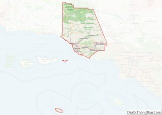
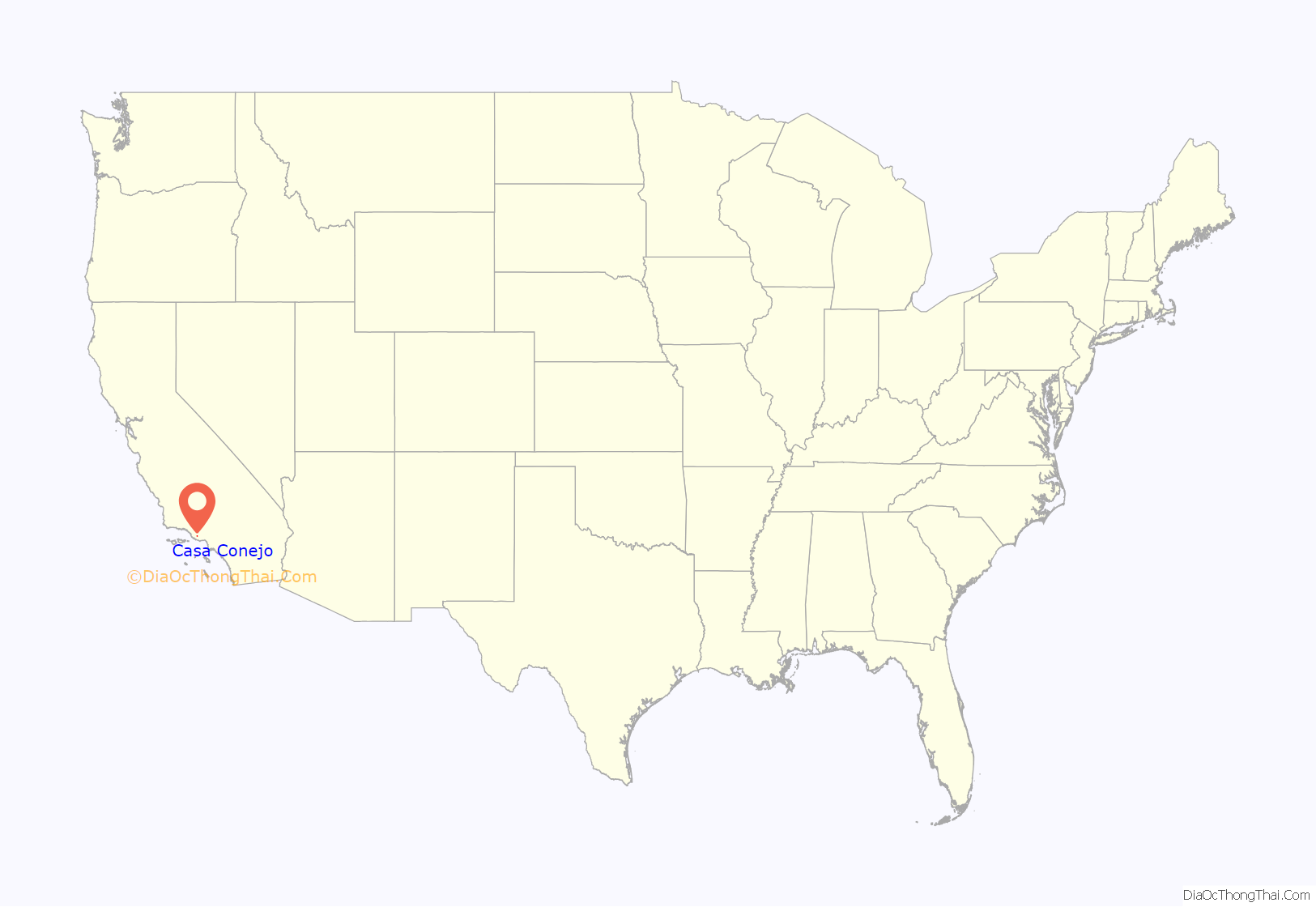
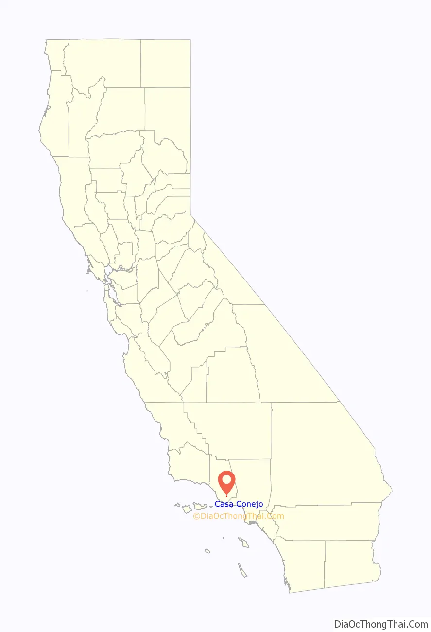
Casa Conejo location map. Where is Casa Conejo CDP?
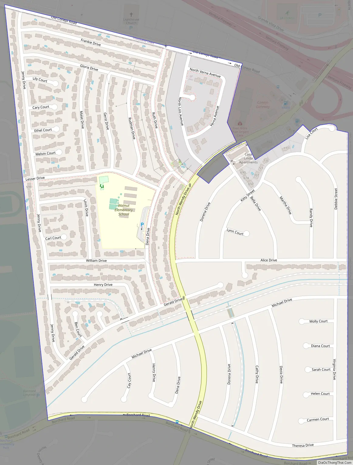
Casa Conejo Road Map
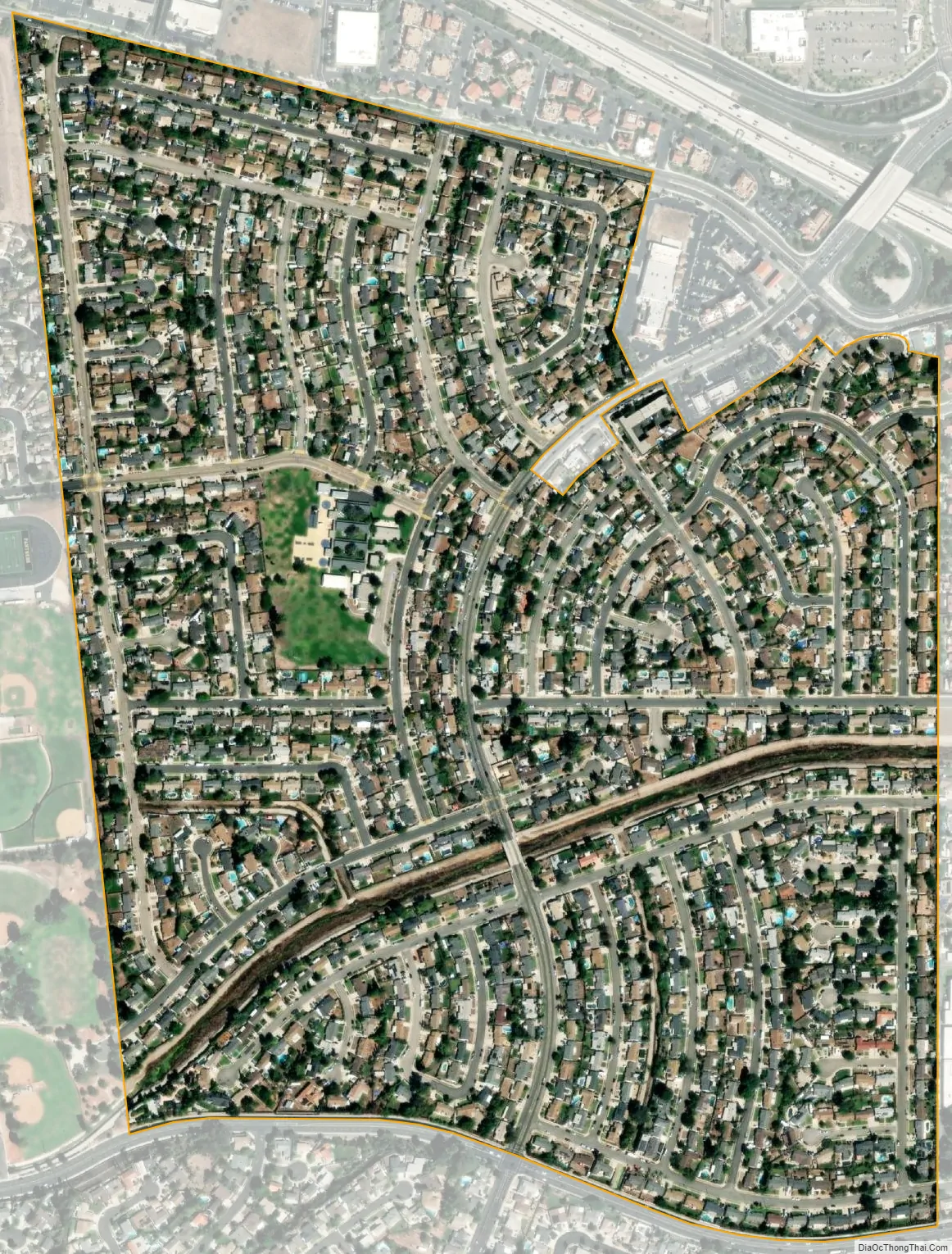
Casa Conejo city Satellite Map
Geography
Casa Conejo is an unincorporated county island which is surrounded by Newbury Park. The borders of Casa Conejo make its shape more or less a quadrangle. Casa Conejo borders Borchard Road to the south and the Sequoia Middle School to the east. It is bounded by the Old Conejo Road and U.S. 101 Freeway to the north, while it is adjacent to Borchard Community Park, Newbury Park High School and Knoll Park to the east.
Casa Conejo is the oldest planned development in the town of Newbury Park, and is a smaller and more close-knit community than Newbury Park proper. It is often referred to as a neighborhood with a “small town-feel”. While Newbury Park is home to more than 37,700, Casa Conejo is a community of 1,000 homes as of 2016. As of the U.S. Census 2010, the total population of Casa Conejo was 3,249 (8.6% of Newbury Park’s total population). The population has been relatively stagnant for decades in Casa Conejo: the U.S. Census of 1990 reported a total population of 3,180, down from 3,286 in 1980.
Conejo Valley’s longest creek, Arroyo Conejo, flows westwards and crosses horizontally the southern part of Casa Conejo. A multi-use pathway along the creek has been proposed, which would cross the community and connect the Newbury Park Library and Borchard Community Park. The path would be open for pedestrians, bikers and equestrians, resembling Simi Valley’s Arroyo Simi. The waterway is managed by the Ventura County Watershed Protection District, while the Conejo Recreation and Park District (CRPD) would overlook the proposed recreational multipurpose walkway.
See also
Map of California State and its subdivision:- Alameda
- Alpine
- Amador
- Butte
- Calaveras
- Colusa
- Contra Costa
- Del Norte
- El Dorado
- Fresno
- Glenn
- Humboldt
- Imperial
- Inyo
- Kern
- Kings
- Lake
- Lassen
- Los Angeles
- Madera
- Marin
- Mariposa
- Mendocino
- Merced
- Modoc
- Mono
- Monterey
- Napa
- Nevada
- Orange
- Placer
- Plumas
- Riverside
- Sacramento
- San Benito
- San Bernardino
- San Diego
- San Francisco
- San Joaquin
- San Luis Obispo
- San Mateo
- Santa Barbara
- Santa Clara
- Santa Cruz
- Shasta
- Sierra
- Siskiyou
- Solano
- Sonoma
- Stanislaus
- Sutter
- Tehama
- Trinity
- Tulare
- Tuolumne
- Ventura
- Yolo
- Yuba
- Alabama
- Alaska
- Arizona
- Arkansas
- California
- Colorado
- Connecticut
- Delaware
- District of Columbia
- Florida
- Georgia
- Hawaii
- Idaho
- Illinois
- Indiana
- Iowa
- Kansas
- Kentucky
- Louisiana
- Maine
- Maryland
- Massachusetts
- Michigan
- Minnesota
- Mississippi
- Missouri
- Montana
- Nebraska
- Nevada
- New Hampshire
- New Jersey
- New Mexico
- New York
- North Carolina
- North Dakota
- Ohio
- Oklahoma
- Oregon
- Pennsylvania
- Rhode Island
- South Carolina
- South Dakota
- Tennessee
- Texas
- Utah
- Vermont
- Virginia
- Washington
- West Virginia
- Wisconsin
- Wyoming