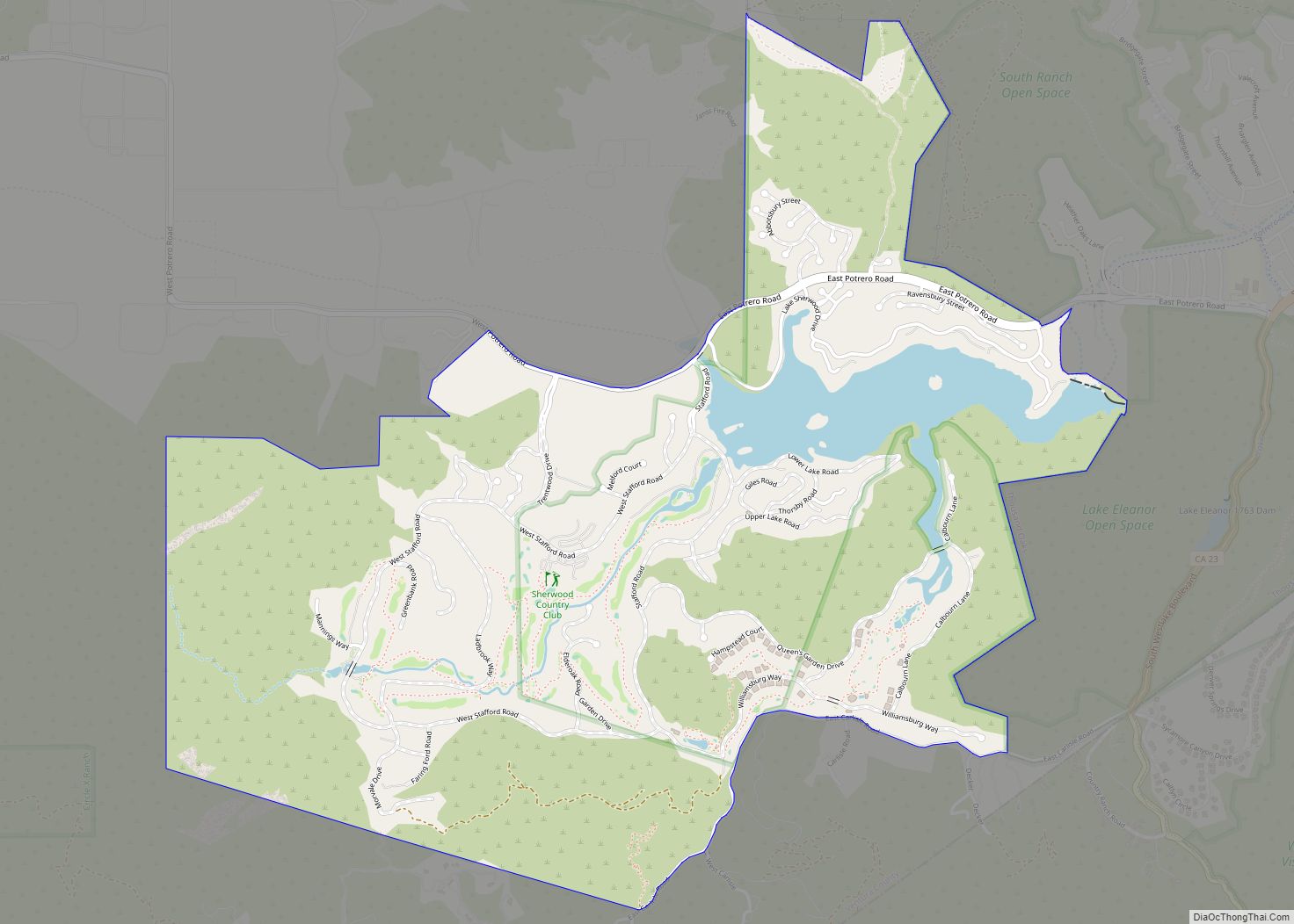
Lake Sherwood is an unincorporated community in the Santa Monica Mountains, in Ventura County, California overlooking Lake Sherwood reservoir. It is a body contact lake, swimming, fishing, SUP and boating allowed, located south of the Conejo Valley and city of Thousand Oaks, and west of Westlake Village. The lake is naturally fed by thousand of acres of open-space, watershed mountains and natural springs.
While homes have been around the lake since the reservoir was created by the construction of Sherwood Dam in 1901, the community expanded with the development of the Sherwood Country Club golf course surrounded by luxury homes.
The ZIP Code is 91361, and the community is inside area code 805. The population was 1,759 at the 2020 census. For statistical purposes, the United States Census Bureau has defined Lake Sherwood as a census-designated place (CDP). The census definition of the area may not precisely correspond to local understanding of the area with the same name.
| Name: | Lake Sherwood CDP |
|---|---|
| LSAD Code: | 57 |
| LSAD Description: | CDP (suffix) |
| State: | California |
| County: | Ventura County |
| Elevation: | 1,194 ft (364 m) |
| Total Area: | 3.323 sq mi (8.607 km²) |
| Land Area: | 3.135 sq mi (8.121 km²) |
| Water Area: | 0.188 sq mi (0.486 km²) 5.65% |
| Total Population: | 1,759 |
| Population Density: | 530/sq mi (200/km²) |
| ZIP code: | 91361 |
| Area code: | 805 |
| FIPS code: | 0639735 |
| GNISfeature ID: | 2585428 |
Online Interactive Map
Click on ![]() to view map in "full screen" mode.
to view map in "full screen" mode.
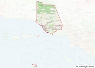
Lake Sherwood location map. Where is Lake Sherwood CDP?


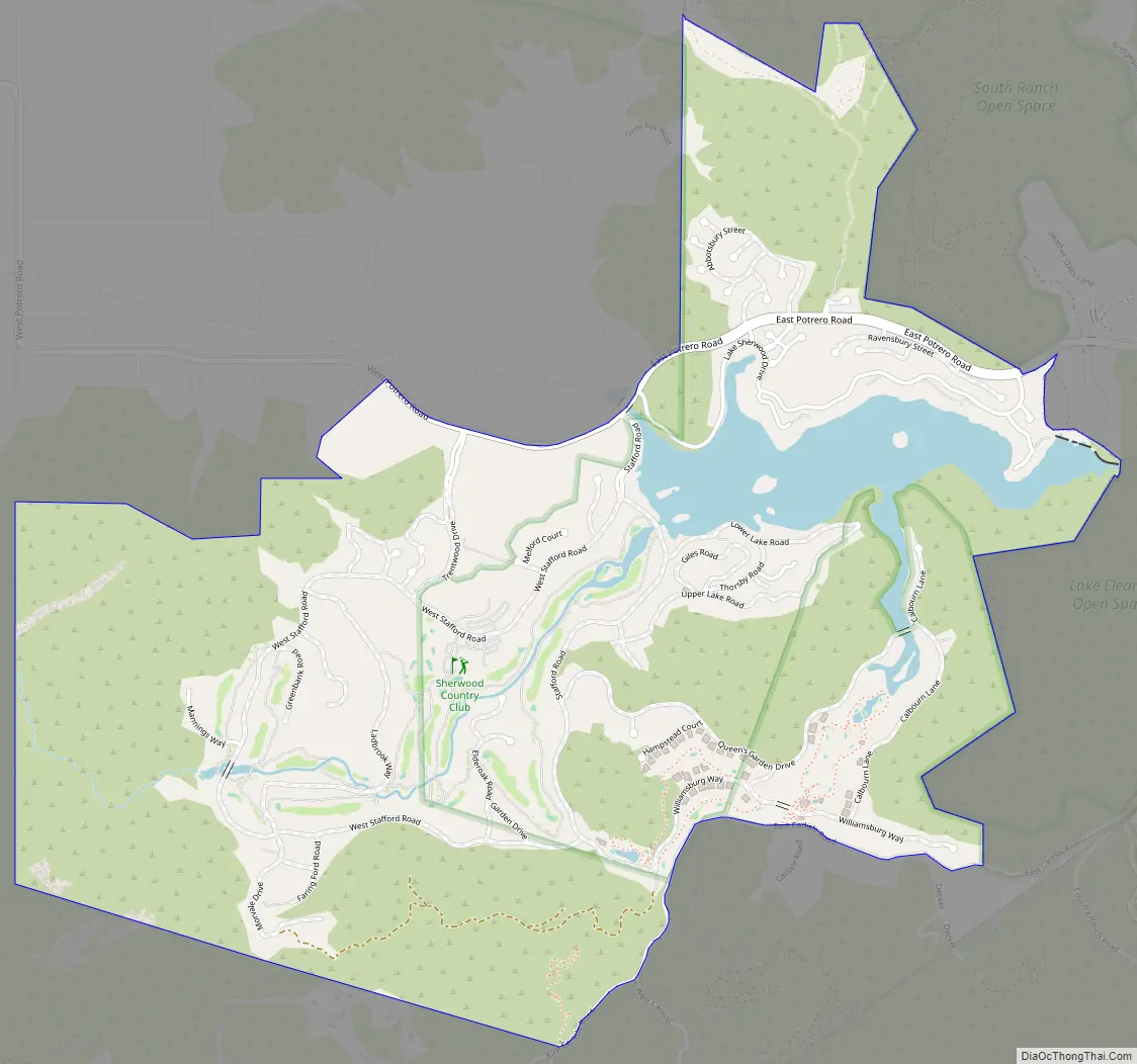
Lake Sherwood Road Map
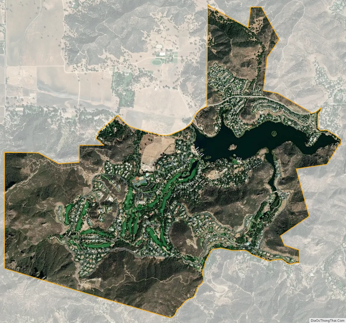
Lake Sherwood city Satellite Map
Geography
According to the United States Census Bureau, the CDP covers an area of 3.3 square miles (8.6 km), 3.1 square miles (8.1 km) of it is land and 0.2 square miles (0.5 km) of it (5.65%) is water.
Physical character
Lake Sherwood has approximately 660 residences and consists of a guard-gated golf-club community, three electronic-gated communities, and lake-view homes along Lake Sherwood Drive. The area is almost completely residential, most residents using neighboring Thousand Oaks, Westlake Village, or Agoura Hills for commercial needs.
See also
Map of California State and its subdivision:- Alameda
- Alpine
- Amador
- Butte
- Calaveras
- Colusa
- Contra Costa
- Del Norte
- El Dorado
- Fresno
- Glenn
- Humboldt
- Imperial
- Inyo
- Kern
- Kings
- Lake
- Lassen
- Los Angeles
- Madera
- Marin
- Mariposa
- Mendocino
- Merced
- Modoc
- Mono
- Monterey
- Napa
- Nevada
- Orange
- Placer
- Plumas
- Riverside
- Sacramento
- San Benito
- San Bernardino
- San Diego
- San Francisco
- San Joaquin
- San Luis Obispo
- San Mateo
- Santa Barbara
- Santa Clara
- Santa Cruz
- Shasta
- Sierra
- Siskiyou
- Solano
- Sonoma
- Stanislaus
- Sutter
- Tehama
- Trinity
- Tulare
- Tuolumne
- Ventura
- Yolo
- Yuba
- Alabama
- Alaska
- Arizona
- Arkansas
- California
- Colorado
- Connecticut
- Delaware
- District of Columbia
- Florida
- Georgia
- Hawaii
- Idaho
- Illinois
- Indiana
- Iowa
- Kansas
- Kentucky
- Louisiana
- Maine
- Maryland
- Massachusetts
- Michigan
- Minnesota
- Mississippi
- Missouri
- Montana
- Nebraska
- Nevada
- New Hampshire
- New Jersey
- New Mexico
- New York
- North Carolina
- North Dakota
- Ohio
- Oklahoma
- Oregon
- Pennsylvania
- Rhode Island
- South Carolina
- South Dakota
- Tennessee
- Texas
- Utah
- Vermont
- Virginia
- Washington
- West Virginia
- Wisconsin
- Wyoming