Channel Islands Beach is an unincorporated community in Ventura County, California, United States consisting of three historic neighborhoods: Hollywood Beach, Hollywood by the Sea, and Silver Strand Beach. This densely populated narrow 1.3-mile-long strip (2.1 km) along the coastal edge of the Oxnard Plain was subdivided using the glamor of Hollywood to sell lots in the mid 1920s since the sand dunes had been used for movies. Adjacent development has left this sandy beachfront neighborhood hemmed in by Channel Islands Harbor and Naval Base Ventura County. The harbor mouth separates them into two communities resulting in a round-about travel route around the harbor between them although the Channel Islands Beach Community Services District provides local utilities services to the entire neighborhood. The Special-purpose district has an elected Board of Directors which provides a forum for the unique concerns of the community. Lying immediately adjacent but outside the corporate boundaries of the City of Oxnard and the City of Port Hueneme, they are governed by the county Board of Supervisors.
The population of this residential community was 3,103 at the 2010 census, down from 3,142 at the 2000 census. For statistical purposes, the United States Census Bureau has defined Channel Islands Beach as a census-designated place (CDP).
| Name: | Channel Islands Beach CDP |
|---|---|
| LSAD Code: | 57 |
| LSAD Description: | CDP (suffix) |
| State: | California |
| County: | Ventura County |
| Elevation: | 7 ft (2 m) |
| Total Area: | 0.65 sq mi (1.68 km²) |
| Land Area: | 0.42 sq mi (1.09 km²) |
| Water Area: | 0.22 sq mi (0.58 km²) 1.65% |
| Total Population: | 2,870 |
| Population Density: | 6,784.87/sq mi (2,622.07/km²) |
| ZIP code: | 93035 |
| Area code: | 805 |
| FIPS code: | 0612669 |
Online Interactive Map
Click on ![]() to view map in "full screen" mode.
to view map in "full screen" mode.
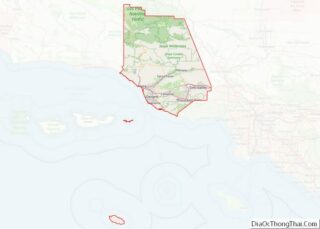
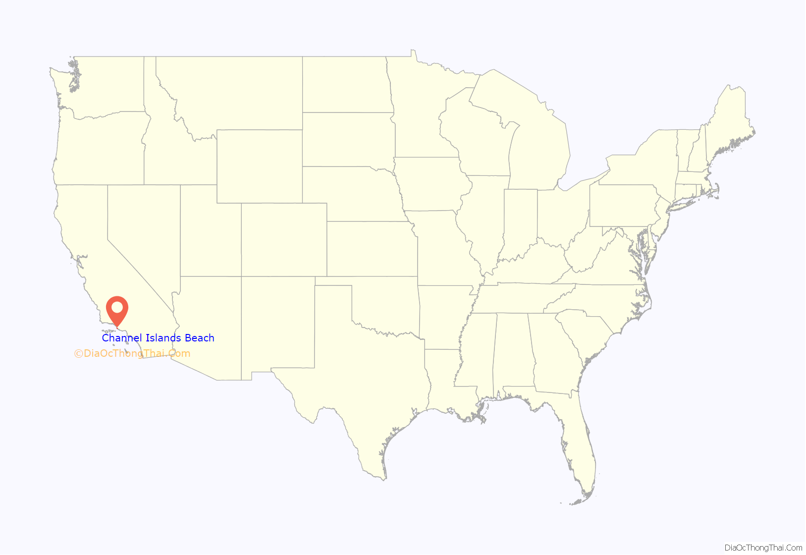
Channel Islands Beach location map. Where is Channel Islands Beach CDP?
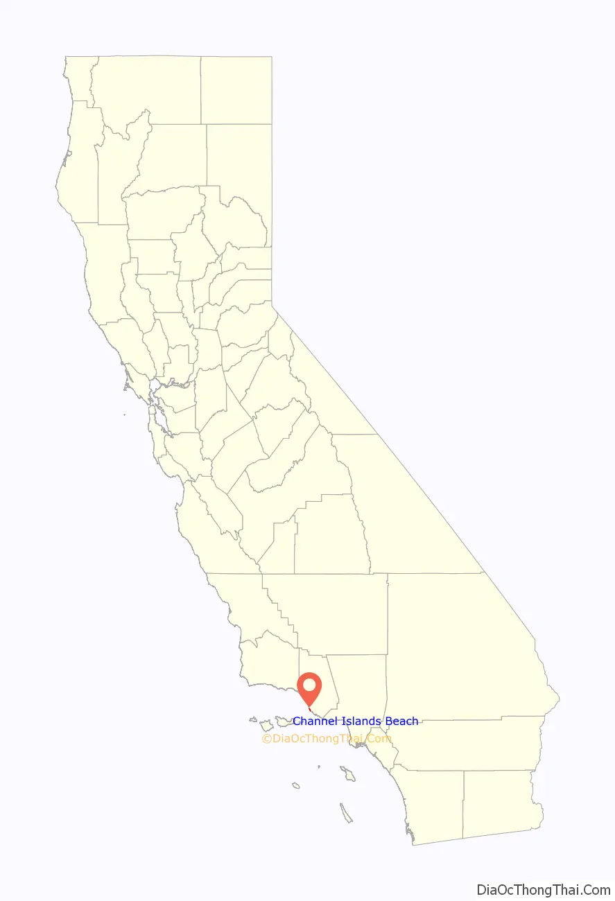
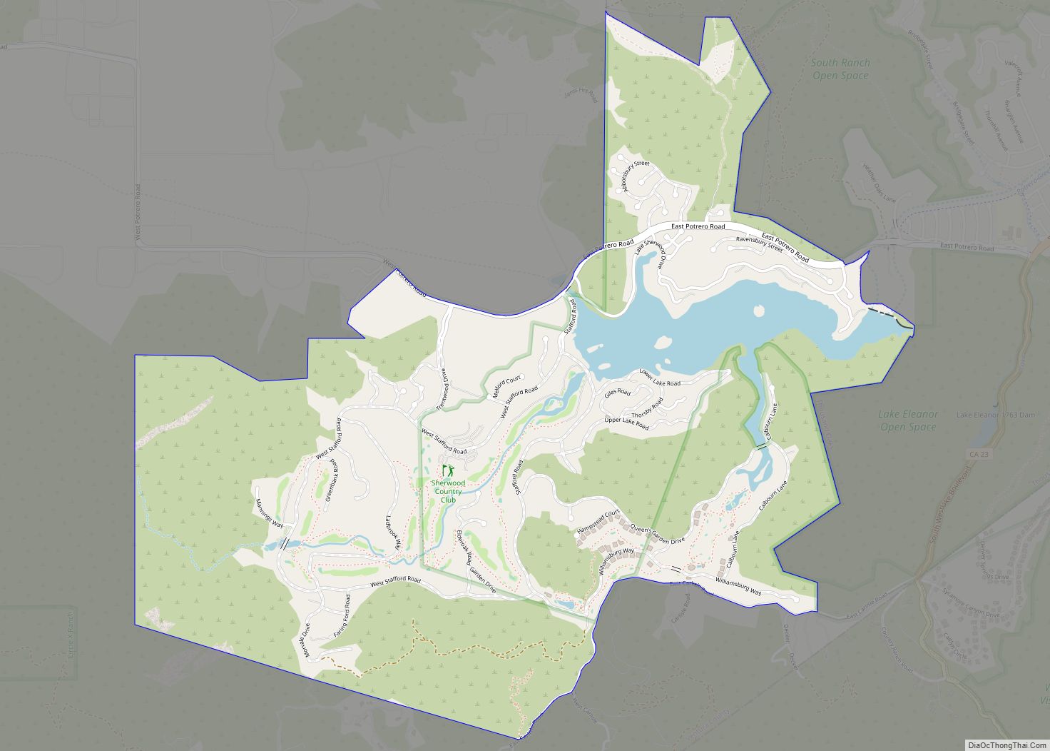
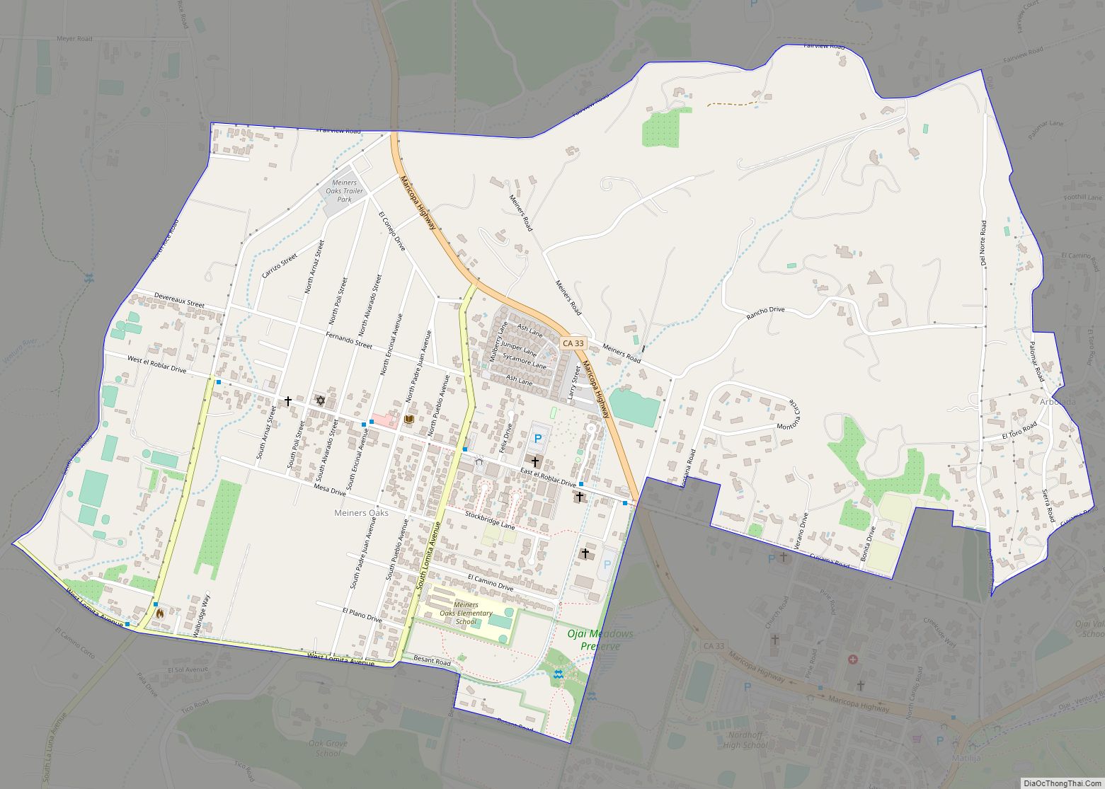
Channel Islands Beach Road Map
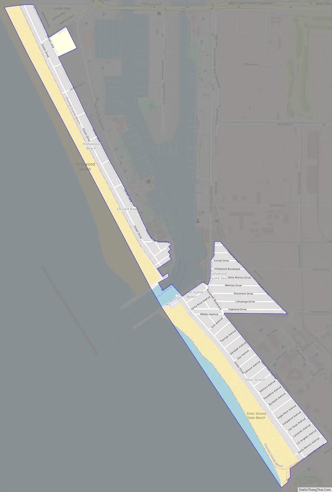
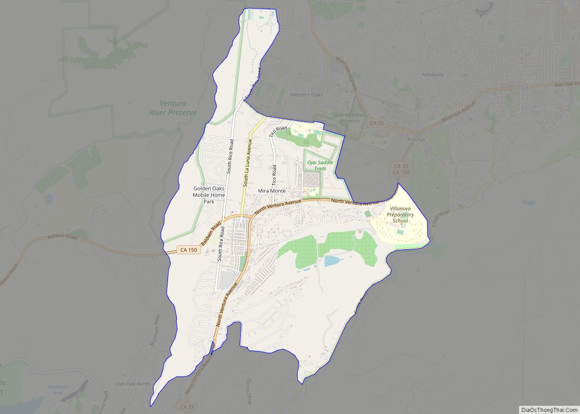
Channel Islands Beach city Satellite Map

Geography
The census definition of the area may not correspond to local understanding of the area. This unincorporated coastal community overlooks the Santa Barbara Channel. Oxnard Beach Park is immediately upcoast of Hollywood Beach and separates the community from the Oxnard neighborhood of Oxnard Shores. Three subdivision maps created the town lots (from north to south and the year recorded): Hollywood Beach (1924), Hollywood by the Sea (1926), and Silver Strand (1925). The mouth of the harbor was constructed over the shoreline portion of the Hollywood-by-the-Sea subdivision. A few of the lots remained on the north side of the harbor mouth with the intact Hollywood Beach subdivision. Although still unincorporated, this neighborhood is adjacent to the harbor and additional housing, both of which are in the City of Oxnard. The portion of the community on the south side of the mouth is more isolated with only one road providing access to the community. A small portion of the Hollywood-by-the-Sea subdivision touches the shore with a much large portion remaining a distinct tract of homes. The Silver Strand Beach subdivision is along most of the shoreline south of the harbor entrance which is near but without access to the Port of Hueneme.
The area is within the Hueneme School District.
Climate
This region experiences warm (but not hot) and dry summers, with no average monthly temperatures above 71.6 °F (22.0 °C). According to the Köppen Climate Classification system, Channel Islands Beach has a warm-summer Mediterranean climate, abbreviated “Csb” on climate maps.
See also
Map of California State and its subdivision:- Alameda
- Alpine
- Amador
- Butte
- Calaveras
- Colusa
- Contra Costa
- Del Norte
- El Dorado
- Fresno
- Glenn
- Humboldt
- Imperial
- Inyo
- Kern
- Kings
- Lake
- Lassen
- Los Angeles
- Madera
- Marin
- Mariposa
- Mendocino
- Merced
- Modoc
- Mono
- Monterey
- Napa
- Nevada
- Orange
- Placer
- Plumas
- Riverside
- Sacramento
- San Benito
- San Bernardino
- San Diego
- San Francisco
- San Joaquin
- San Luis Obispo
- San Mateo
- Santa Barbara
- Santa Clara
- Santa Cruz
- Shasta
- Sierra
- Siskiyou
- Solano
- Sonoma
- Stanislaus
- Sutter
- Tehama
- Trinity
- Tulare
- Tuolumne
- Ventura
- Yolo
- Yuba
- Alabama
- Alaska
- Arizona
- Arkansas
- California
- Colorado
- Connecticut
- Delaware
- District of Columbia
- Florida
- Georgia
- Hawaii
- Idaho
- Illinois
- Indiana
- Iowa
- Kansas
- Kentucky
- Louisiana
- Maine
- Maryland
- Massachusetts
- Michigan
- Minnesota
- Mississippi
- Missouri
- Montana
- Nebraska
- Nevada
- New Hampshire
- New Jersey
- New Mexico
- New York
- North Carolina
- North Dakota
- Ohio
- Oklahoma
- Oregon
- Pennsylvania
- Rhode Island
- South Carolina
- South Dakota
- Tennessee
- Texas
- Utah
- Vermont
- Virginia
- Washington
- West Virginia
- Wisconsin
- Wyoming