Cayucos (Spanish for “Canoe”) is an unincorporated coastal town in San Luis Obispo County, California, along California State Route 1 between Cambria to the north and Morro Bay to the south. The population was 2,505 at the 2020 census, down from 2,592 at the 2010 census.
| Name: | Cayucos CDP |
|---|---|
| LSAD Code: | 57 |
| LSAD Description: | CDP (suffix) |
| State: | California |
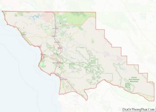
| County: | San Luis Obispo County |
| Elevation: | 75 ft (23 m) |
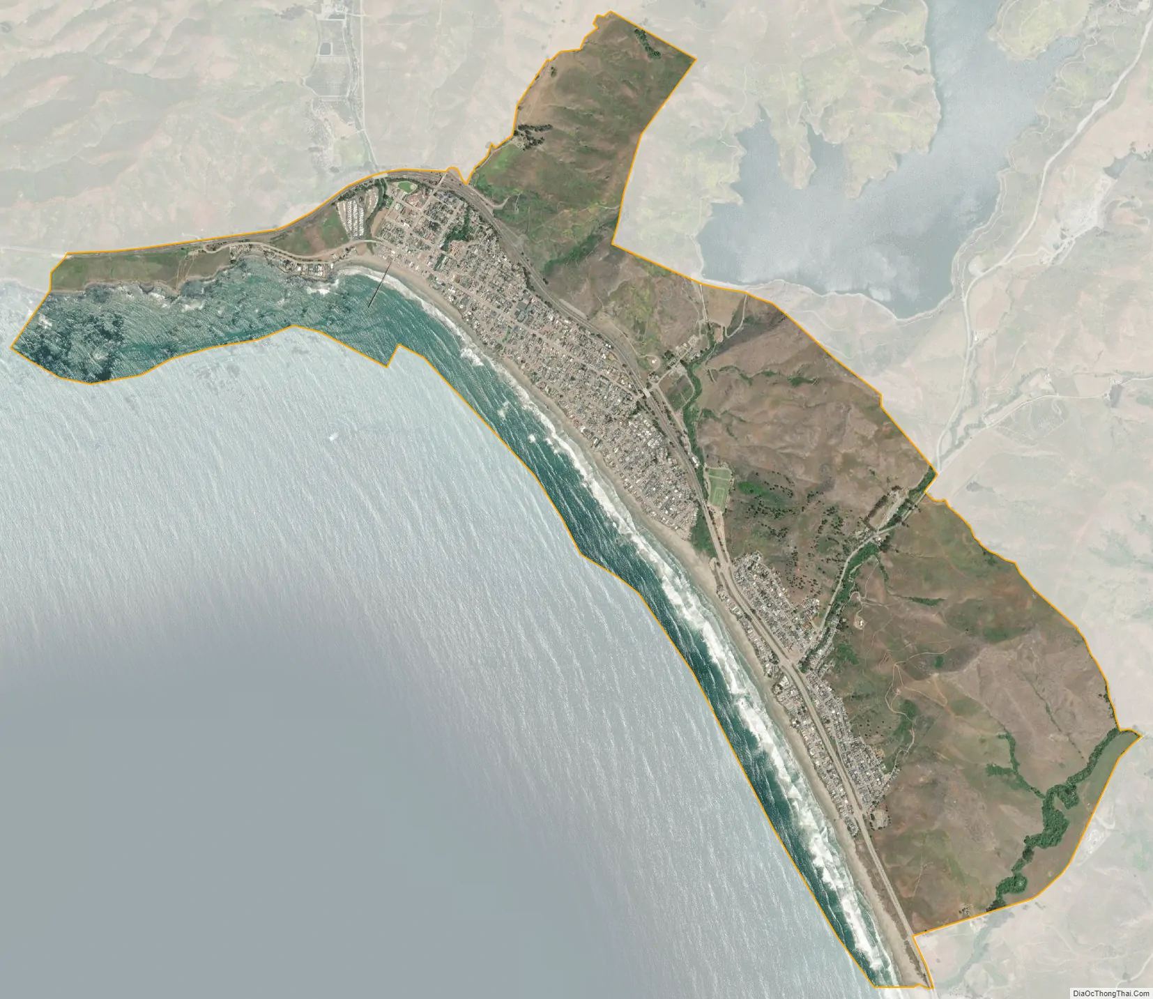
| Total Area: | 4.03 sq mi (10.45 km²) |
| Land Area: | 3.10 sq mi (8.03 km²) |
| Water Area: | 0.93 sq mi (2.42 km²) 10.85% |
| Total Population: | 2,505 |
| Population Density: | 808.06/sq mi (312.00/km²) |
| ZIP code: | 93430 |
| Area code: | 805 |
| FIPS code: | 0612132 |
Online Interactive Map
Click on ![]() to view map in "full screen" mode.
to view map in "full screen" mode.
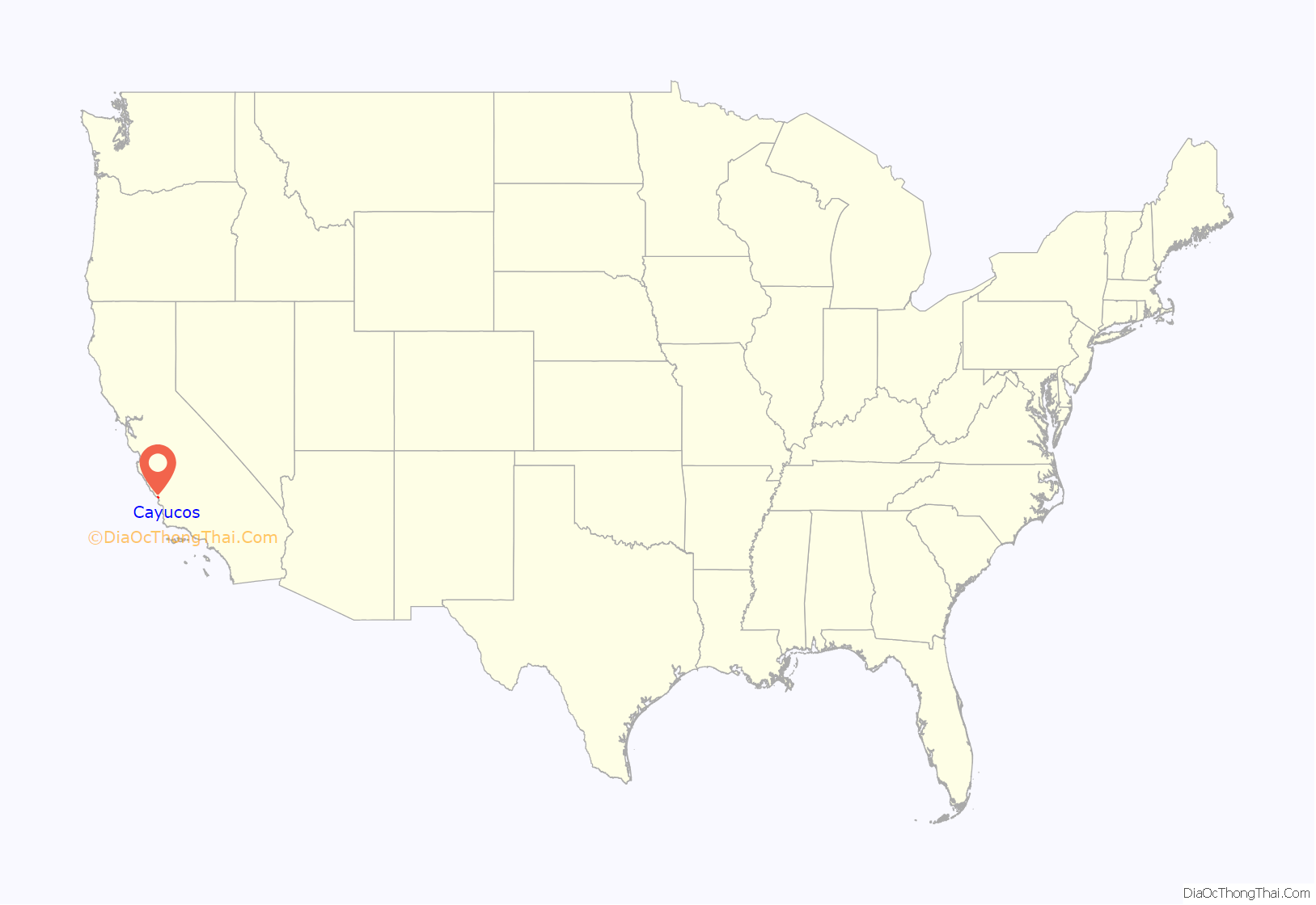
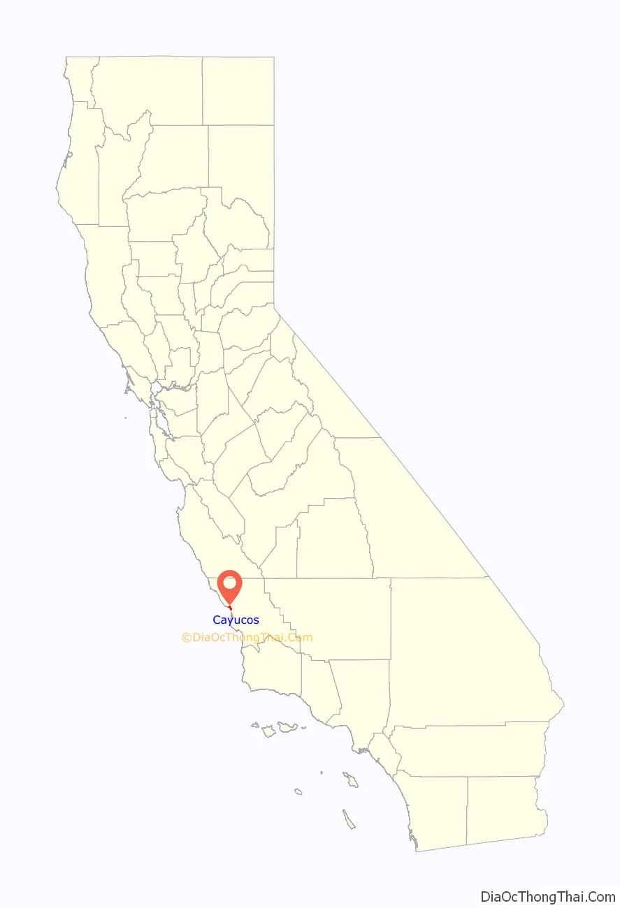
Cayucos location map. Where is Cayucos CDP?
History
The area was settled by the Chumash people approximately 11000 to 10000 BC. It included a large village to the south of Cayucos at Morro Creek.
The first European land exploration of Alta California, the Spanish Portolà expedition, camped in the vicinity of today’s Cayucos on September 9, 1769. Coming from the previous campsite near Morro Bay, Franciscan missionary and expedition member Juan Crespi noted in his diary that “In the four hours that we traveled, making at the most three leagues, we encountered eight arroyos by which the water from the mountains runs to the sea, along whose edge we traveled. We halted at the eighth watering place in a moderately broad valley, into which enters an estuary fed by an arroyo of good water coming from the mountains.” Crespi translator Herbert Bolton noted the camp location as Ellysley Creek (further along the coast to the northwest), but the description sounds more like Cayucos.
Cayucos is named for the cayuco, a Spanish name for a small canoe. It was named after the canoes used by the Chumash people to fish in the bay, particularly in the rich kelp beds just north of the current Cayucos pier. The town took its name from the old Rancho Moro y Cayucos, a Mexican land grant awarded in 1842 that includes the present area of the town.
In 1867, Captain James Cass settled on 320 acres (1.29 km) of this land, and founded the town of Cayucos. Cass began developing the area with his business partner, Captain Ingals. Cass built a 900-foot pier and a warehouse to house cargo bound for San Francisco or Los Angeles. Eventually Cass returned to life on the sea and in 1875 real estate developer C.H. Phillips subdivided and sold the remaining portions of Rancho Moro y Cayucos. The original pier was swept away by a storm but has since been rebuilt.
On December 7, 1987, Pacific Southwest Airlines Flight 1771, bound from Los Angeles International Airport to San Francisco, was cruising above the central California coast when a recently terminated disgruntled USAir employee aboard the plane shot his ex-supervisor, both pilots, a flight attendant and presumably PSA’s chief pilot, causing the airplane to enter a steep nosedive. The aircraft slammed into a hillside just east of Cayucos at 770 mph (1,239 km/h). All 43 passengers and crew aboard perished.
In October 2009, Arthur Frommer’s Budget Travel Magazine listed Cayucos as one of the “Coolest Small Towns in America”.
Cayucos Road Map
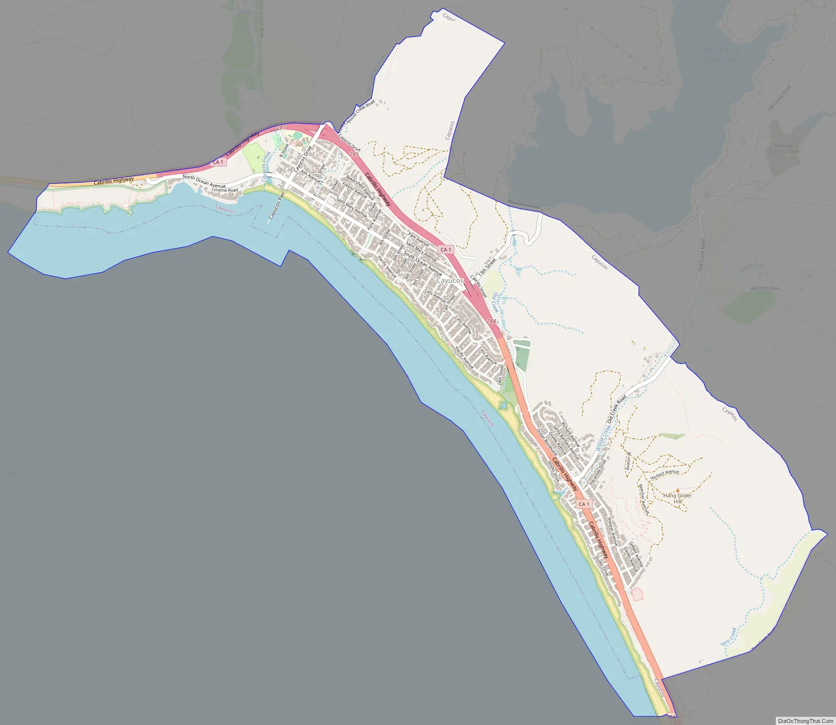
Cayucos city Satellite Map
Geography
Cayucos is located at 35°26′18″N 120°53′26″W / 35.43833°N 120.89056°W / 35.43833; -120.89056 (35.438390, -120.890647).
According to the United States Census Bureau, the CDP has a total area of 3.5 square miles (9.1 km), of which, 3.1 square miles (8.0 km) of it is land and 0.4 square miles (1.0 km) of it (10.85%) is water.
Cayucos is home to Cayucos State Beach.
See also
Map of California State and its subdivision:- Alameda
- Alpine
- Amador
- Butte
- Calaveras
- Colusa
- Contra Costa
- Del Norte
- El Dorado
- Fresno
- Glenn
- Humboldt
- Imperial
- Inyo
- Kern
- Kings
- Lake
- Lassen
- Los Angeles
- Madera
- Marin
- Mariposa
- Mendocino
- Merced
- Modoc
- Mono
- Monterey
- Napa
- Nevada
- Orange
- Placer
- Plumas
- Riverside
- Sacramento
- San Benito
- San Bernardino
- San Diego
- San Francisco
- San Joaquin
- San Luis Obispo
- San Mateo
- Santa Barbara
- Santa Clara
- Santa Cruz
- Shasta
- Sierra
- Siskiyou
- Solano
- Sonoma
- Stanislaus
- Sutter
- Tehama
- Trinity
- Tulare
- Tuolumne
- Ventura
- Yolo
- Yuba
- Alabama
- Alaska
- Arizona
- Arkansas
- California
- Colorado
- Connecticut
- Delaware
- District of Columbia
- Florida
- Georgia
- Hawaii
- Idaho
- Illinois
- Indiana
- Iowa
- Kansas
- Kentucky
- Louisiana
- Maine
- Maryland
- Massachusetts
- Michigan
- Minnesota
- Mississippi
- Missouri
- Montana
- Nebraska
- Nevada
- New Hampshire
- New Jersey
- New Mexico
- New York
- North Carolina
- North Dakota
- Ohio
- Oklahoma
- Oregon
- Pennsylvania
- Rhode Island
- South Carolina
- South Dakota
- Tennessee
- Texas
- Utah
- Vermont
- Virginia
- Washington
- West Virginia
- Wisconsin
- Wyoming