Cedar Slope is a census-designated place (CDP) in Tulare County, California. Cedar Slope sits at an elevation of 5,584 feet (1,702 m). The 2020 United States census reported that Cedar Slope was 10. Cedar Slope can be reached from Porterville by 37 curvy miles on California State Route 190 with an elevation gain of 5,525 feet.
| Name: | Cedar Slope CDP |
|---|---|
| LSAD Code: | 57 |
| LSAD Description: | CDP (suffix) |
| State: | California |
| County: | Tulare County |
| Elevation: | 5,584 ft (1,702 m) |
| Total Area: | 0.29 sq mi (0.75 km²) |
| Land Area: | 0.29 sq mi (0.75 km²) |
| Water Area: | 0.00 sq mi (0.00 km²) 0% |
| Total Population: | 10 |
| Population Density: | 34.72/sq mi (13.40/km²) |
| FIPS code: | 0612314 |
| GNISfeature ID: | 2585406 |
Online Interactive Map
Click on ![]() to view map in "full screen" mode.
to view map in "full screen" mode.
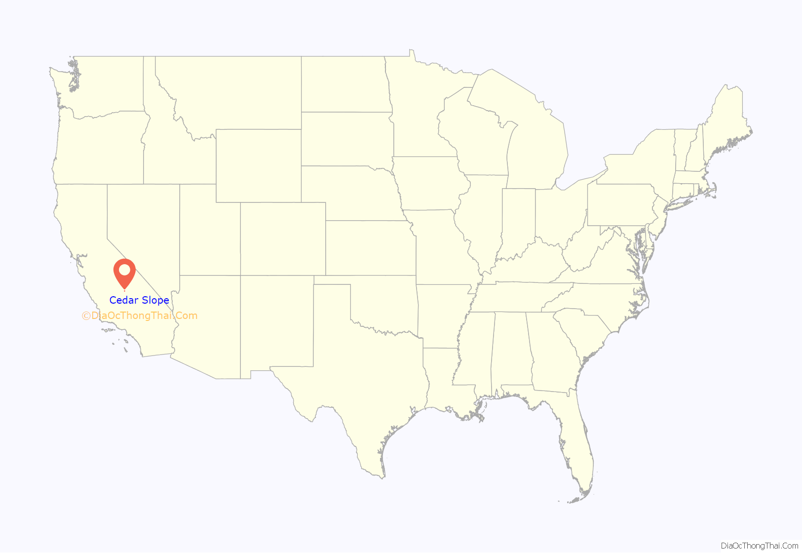
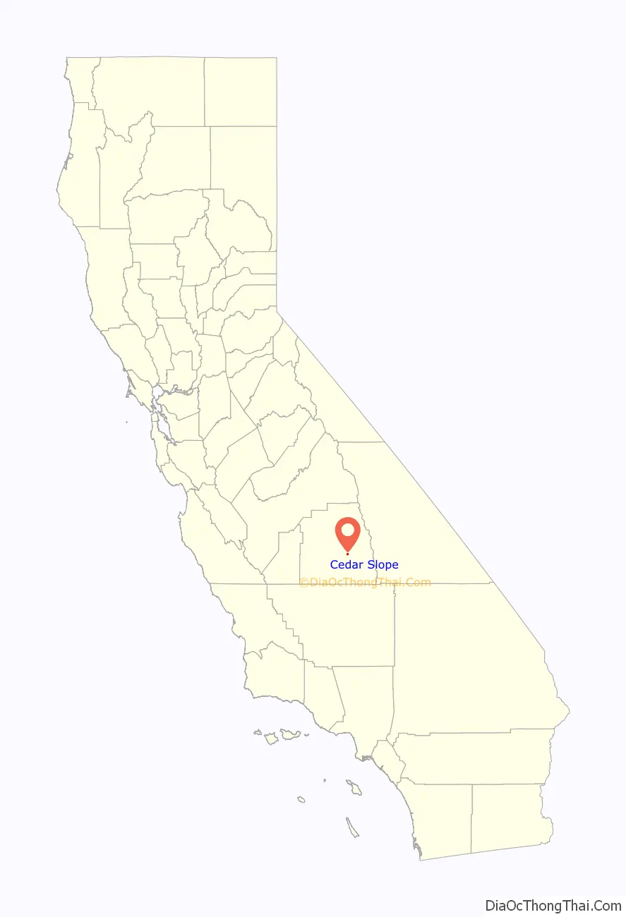
Cedar Slope location map. Where is Cedar Slope CDP?
History
The first occupant of Cedar Slope was the artist and seamstress Nellie Marshall in 1881. Nearby Marshall Creek is named after her. In 1945, 80 acres of the original homestead were purchased and developed by Les and Ruth Bailey and Fred and Hazelyn Hopkins. Tulare County approved this 80-acre expanse as Tract 119 in 1947, authorizing the construction of the area’s first cabins. Many of the first wave of cabins were built by World War Two veterans. The community owned Cedar Slope Mutual Water Company, established in 1947, provides and manages water to the development. Carl and Lynn Tapia rebuilt the Cedar Slope Inn after the original store on that site on Highway 190 burned down in the late 1960s. The couple ran it as a community bar and music venue until Carl suffered his first stroke in 1997. Afterwards the property passed into other hands. The Cedar Slope Inn suffered no meaningful damage during the Sequoia Complex Fire (SQF Complex).
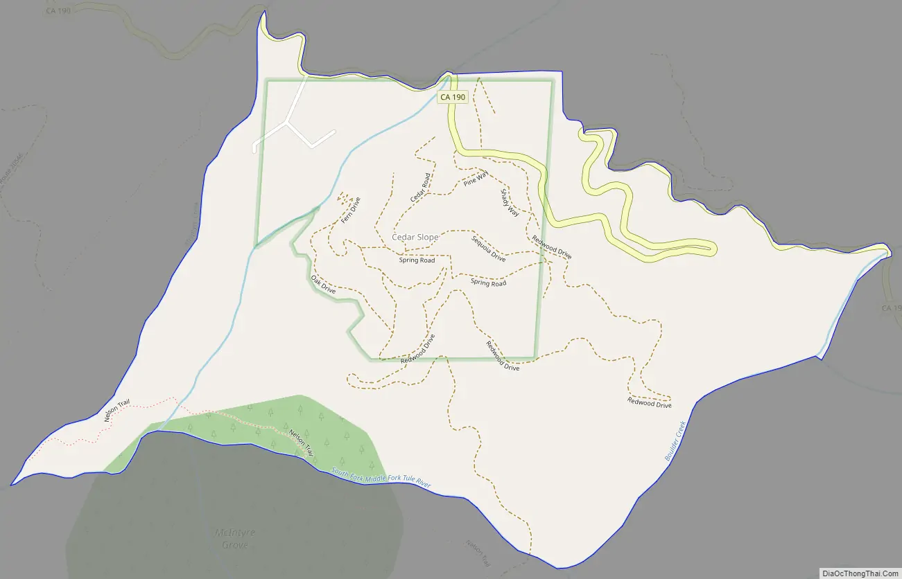
Cedar Slope Road Map
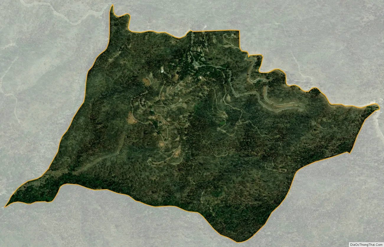
Cedar Slope city Satellite Map
Geography
According to the United States Census Bureau, the CDP covers an area of 0.7 square miles (1.8 km), all of it land.
See also
Map of California State and its subdivision:- Alameda
- Alpine
- Amador
- Butte
- Calaveras
- Colusa
- Contra Costa
- Del Norte
- El Dorado
- Fresno
- Glenn
- Humboldt
- Imperial
- Inyo
- Kern
- Kings
- Lake
- Lassen
- Los Angeles
- Madera
- Marin
- Mariposa
- Mendocino
- Merced
- Modoc
- Mono
- Monterey
- Napa
- Nevada
- Orange
- Placer
- Plumas
- Riverside
- Sacramento
- San Benito
- San Bernardino
- San Diego
- San Francisco
- San Joaquin
- San Luis Obispo
- San Mateo
- Santa Barbara
- Santa Clara
- Santa Cruz
- Shasta
- Sierra
- Siskiyou
- Solano
- Sonoma
- Stanislaus
- Sutter
- Tehama
- Trinity
- Tulare
- Tuolumne
- Ventura
- Yolo
- Yuba
- Alabama
- Alaska
- Arizona
- Arkansas
- California
- Colorado
- Connecticut
- Delaware
- District of Columbia
- Florida
- Georgia
- Hawaii
- Idaho
- Illinois
- Indiana
- Iowa
- Kansas
- Kentucky
- Louisiana
- Maine
- Maryland
- Massachusetts
- Michigan
- Minnesota
- Mississippi
- Missouri
- Montana
- Nebraska
- Nevada
- New Hampshire
- New Jersey
- New Mexico
- New York
- North Carolina
- North Dakota
- Ohio
- Oklahoma
- Oregon
- Pennsylvania
- Rhode Island
- South Carolina
- South Dakota
- Tennessee
- Texas
- Utah
- Vermont
- Virginia
- Washington
- West Virginia
- Wisconsin
- Wyoming


