Centerville (formerly, Kings River, King River, Scottsburgh, and Scottsburg) is a census-designated place in Fresno County, California. It is located on the Atchison, Topeka and Santa Fe Railroad 16 miles (26 km) east of Fresno, at an elevation of 394 feet (120 m). At the 2010 census, it had a population of 392.
| Name: | Centerville CDP |
|---|---|
| LSAD Code: | 57 |
| LSAD Description: | CDP (suffix) |
| State: | California |
| County: | Fresno County |
| Elevation: | 394 ft (120 m) |
| Total Area: | 8.138 sq mi (21.077 km²) |
| Land Area: | 8.138 sq mi (21.077 km²) |
| Water Area: | 0 sq mi (0 km²) 0% |
| Total Population: | 392 |
| Population Density: | 48/sq mi (19/km²) |
| FIPS code: | 0612412 |
| GNISfeature ID: | 220830; 2582972 |
Online Interactive Map
Click on ![]() to view map in "full screen" mode.
to view map in "full screen" mode.
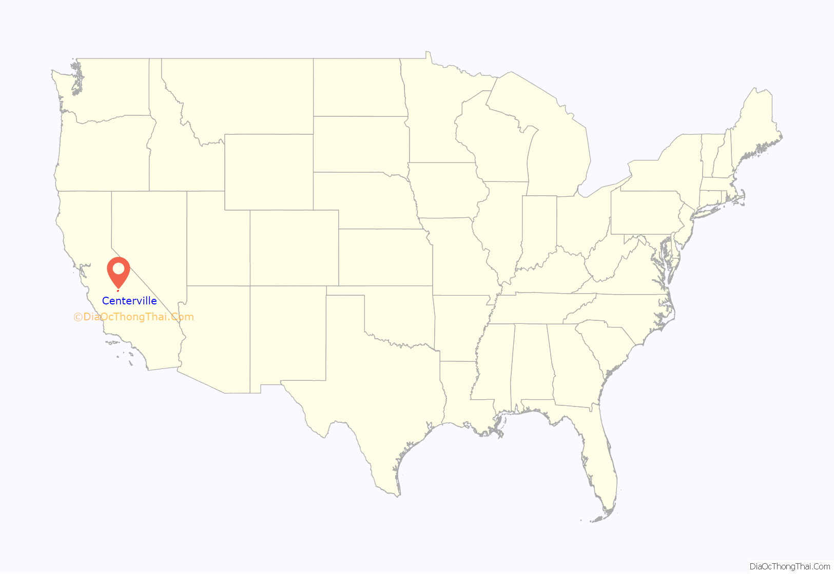
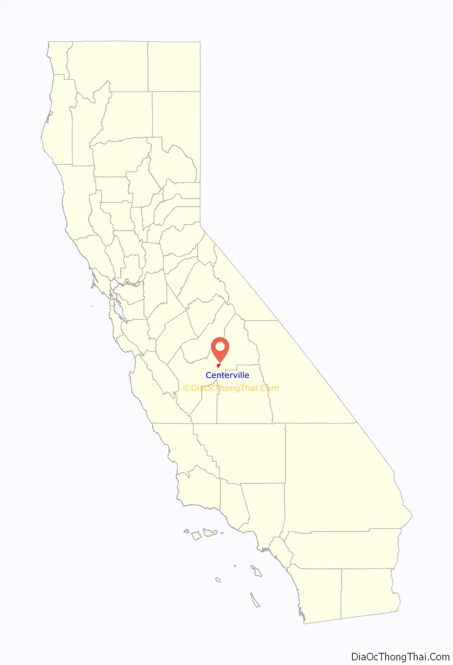
Centerville location map. Where is Centerville CDP?
History
Scottsburg was founded in 1854 in the low lands of the Kings River at Poole’s Crossing. In 1858, W. W. Hills established Hills Ferry at Poole’s Crossing. The ferry and the town were destroyed in the winter of 1861-1862. It was rebuilt on higher ground, but it was flooded again in 1867. The town was rebuilt on top of a bluff overlooking its prior location and renamed Centerville.
The Scottsburgh post office opened in 1856, closed in 1858, re-opened in 1859, and closed forever in 1864.
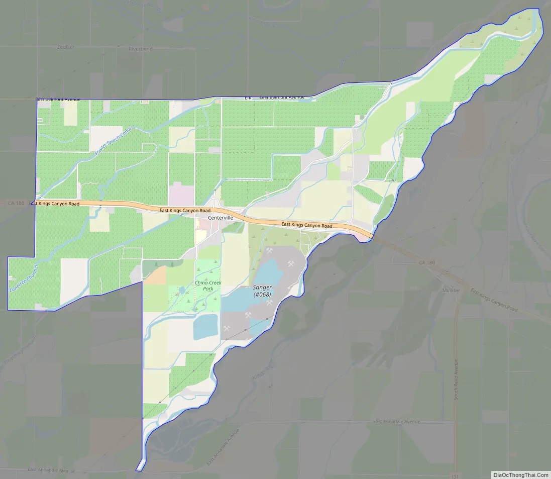
Centerville Road Map
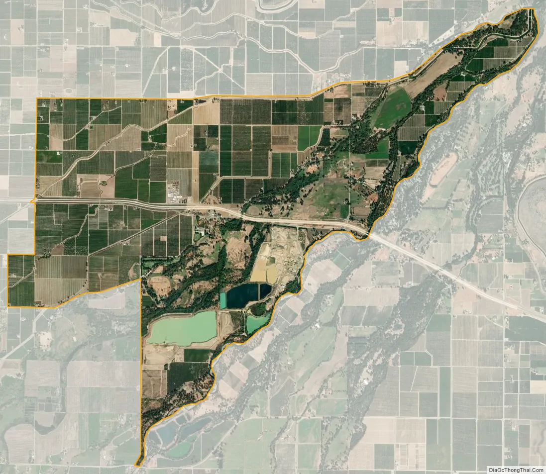
Centerville city Satellite Map
See also
Map of California State and its subdivision:- Alameda
- Alpine
- Amador
- Butte
- Calaveras
- Colusa
- Contra Costa
- Del Norte
- El Dorado
- Fresno
- Glenn
- Humboldt
- Imperial
- Inyo
- Kern
- Kings
- Lake
- Lassen
- Los Angeles
- Madera
- Marin
- Mariposa
- Mendocino
- Merced
- Modoc
- Mono
- Monterey
- Napa
- Nevada
- Orange
- Placer
- Plumas
- Riverside
- Sacramento
- San Benito
- San Bernardino
- San Diego
- San Francisco
- San Joaquin
- San Luis Obispo
- San Mateo
- Santa Barbara
- Santa Clara
- Santa Cruz
- Shasta
- Sierra
- Siskiyou
- Solano
- Sonoma
- Stanislaus
- Sutter
- Tehama
- Trinity
- Tulare
- Tuolumne
- Ventura
- Yolo
- Yuba
- Alabama
- Alaska
- Arizona
- Arkansas
- California
- Colorado
- Connecticut
- Delaware
- District of Columbia
- Florida
- Georgia
- Hawaii
- Idaho
- Illinois
- Indiana
- Iowa
- Kansas
- Kentucky
- Louisiana
- Maine
- Maryland
- Massachusetts
- Michigan
- Minnesota
- Mississippi
- Missouri
- Montana
- Nebraska
- Nevada
- New Hampshire
- New Jersey
- New Mexico
- New York
- North Carolina
- North Dakota
- Ohio
- Oklahoma
- Oregon
- Pennsylvania
- Rhode Island
- South Carolina
- South Dakota
- Tennessee
- Texas
- Utah
- Vermont
- Virginia
- Washington
- West Virginia
- Wisconsin
- Wyoming


