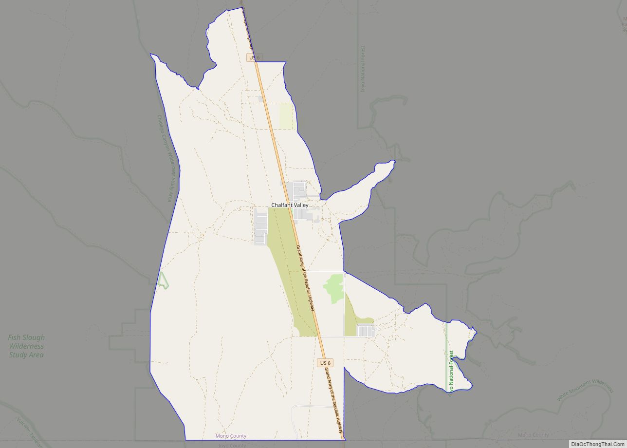
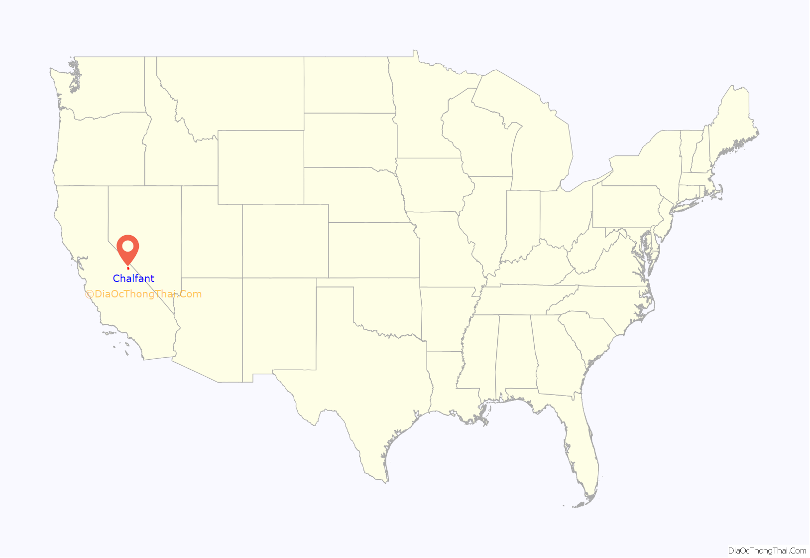
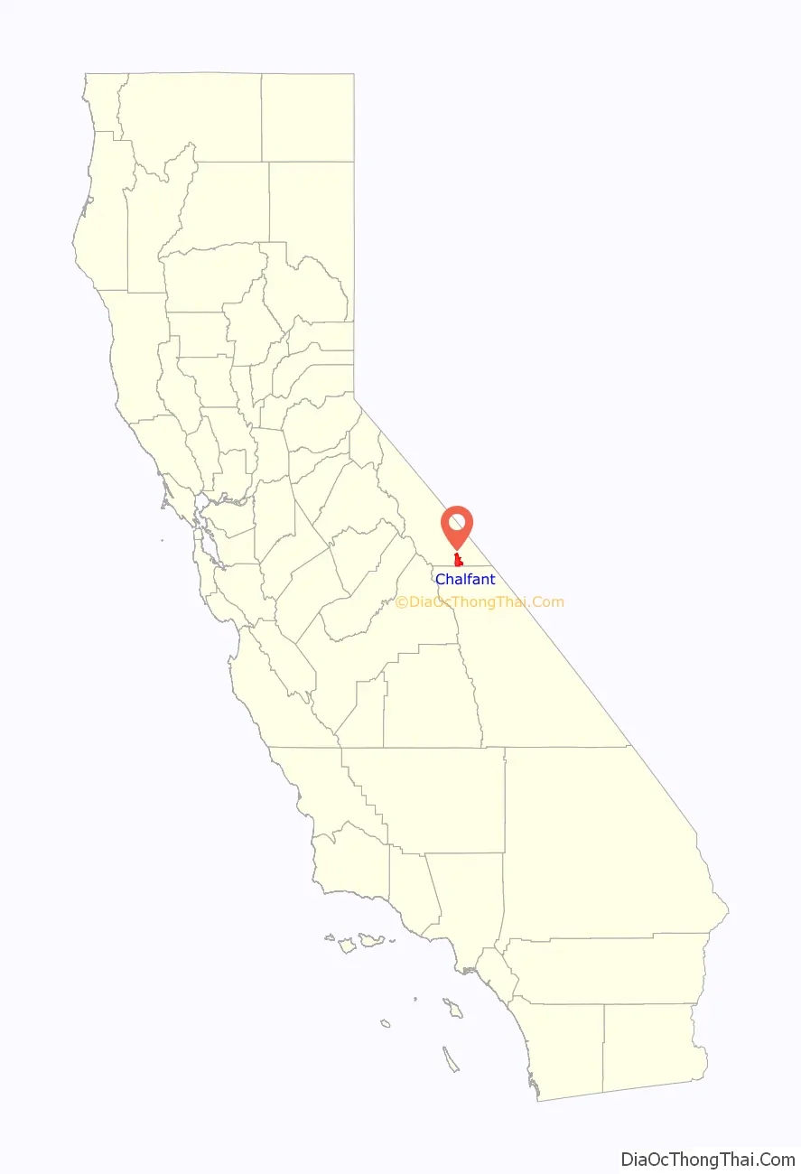
Chalfant (also Chalfant Valley) is an unincorporated community and census-designated place (CDP) in Mono County, California, United States. It is located on the abandoned Southern Pacific Railroad 22 miles (35 km) south-southeast of Benton, at an elevation of 4,258 feet (1,298 m). The population was 660 at the 2020 census.
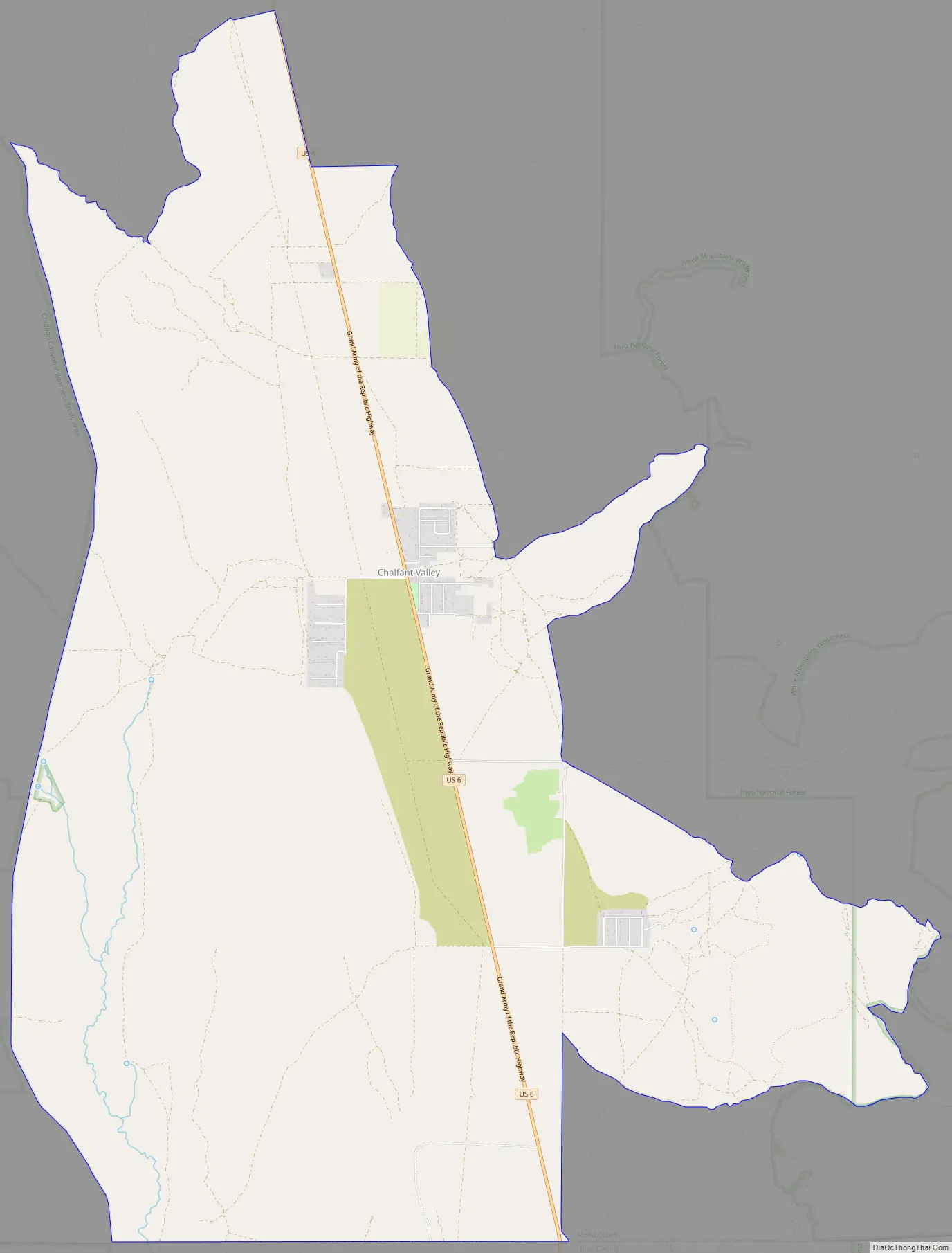
Chalfant is a small, primarily residential community located on U.S. Route 6, 14 miles (23 km) north of the city of Bishop. Most residents commute to Bishop for work and school.
The Chalfant post office operated from 1913 to 1928. The ZIP Code is 93514. The community is inside area codes 442 and 760.
The town is named after W.A. Chalfant who moved to the area in 1885 with his family, where they started The Inyo Register newspaper. Chalfant was the editor for 55 years.
A 6.2 earthquake occurred on July 21, 1986, in the Bishop and Chalfant area, and injured two people, causing damages estimated at $2.7 million. There was a foreshock before the initial quake, and an aftershock occurred ten days after the initial temblor. Smaller aftershocks occurred through September 30, 1986.
| Name: | Chalfant CDP |
|---|---|
| LSAD Code: | 57 |
| LSAD Description: | CDP (suffix) |
| State: | California |
| County: | Mono County |
| Elevation: | 4,258 ft (1,298 m) |
| Total Area: | 28.06 sq mi (72.69 km²) |
| Land Area: | 28.04 sq mi (72.62 km²) |
| Water Area: | 0.03 sq mi (0.07 km²) 0.10% |
| Total Population: | 660 |
| Population Density: | 23.54/sq mi (9.09/km²) |
| ZIP code: | 93514 |
| Area code: | 442/760 |
| FIPS code: | 0612594 |
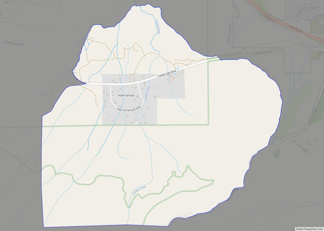
Online Interactive Map
Click on ![]() to view map in "full screen" mode.
to view map in "full screen" mode.
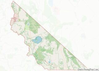
Chalfant location map. Where is Chalfant CDP?
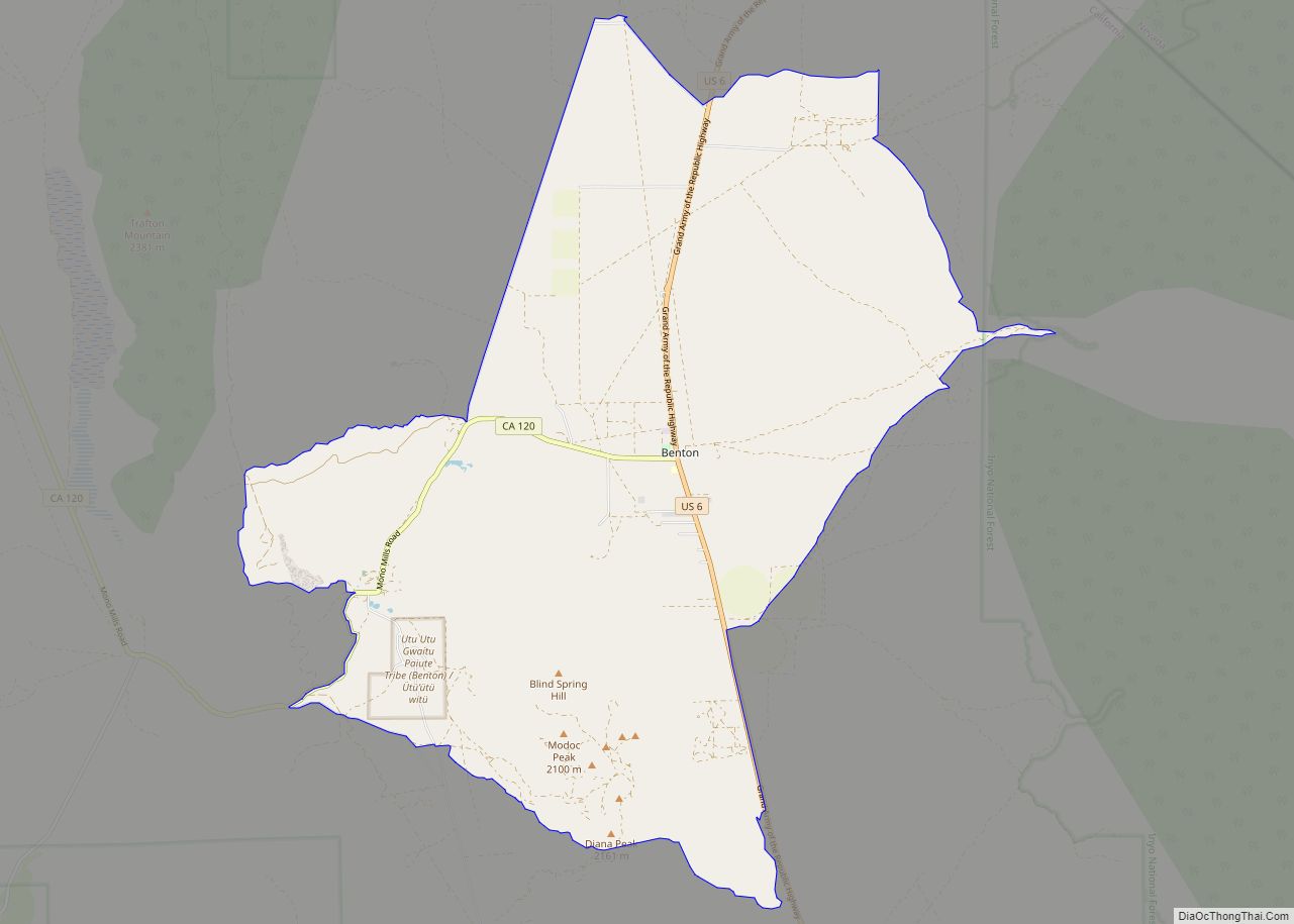
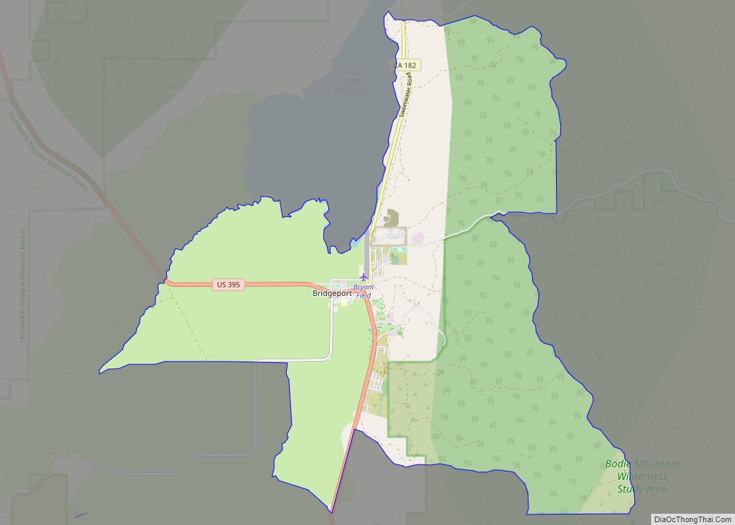
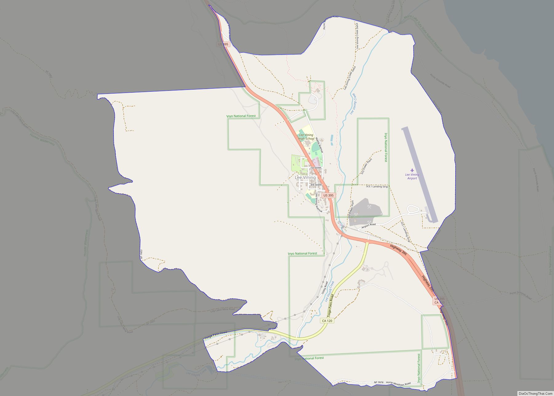
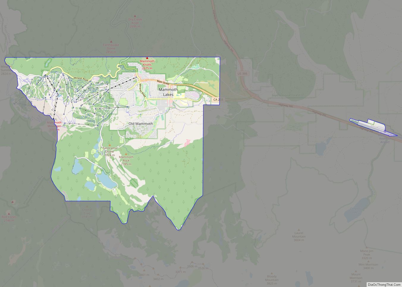
Chalfant Road Map
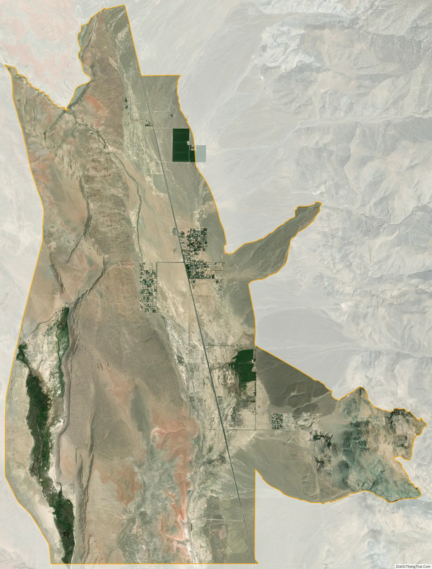
Chalfant city Satellite Map
Geography
Chalfant is in southeastern Mono County, lying in the Chalfant Valley at the western base of the White Mountains. The valley drains south to the Owens Valley in Inyo County.
According to the United States Census Bureau, the Chalfant CDP covers an area of 28.1 square miles (73 km), 99.90% of it land and 0.10% of it water.
See also
Map of California State and its subdivision:- Alameda
- Alpine
- Amador
- Butte
- Calaveras
- Colusa
- Contra Costa
- Del Norte
- El Dorado
- Fresno
- Glenn
- Humboldt
- Imperial
- Inyo
- Kern
- Kings
- Lake
- Lassen
- Los Angeles
- Madera
- Marin
- Mariposa
- Mendocino
- Merced
- Modoc
- Mono
- Monterey
- Napa
- Nevada
- Orange
- Placer
- Plumas
- Riverside
- Sacramento
- San Benito
- San Bernardino
- San Diego
- San Francisco
- San Joaquin
- San Luis Obispo
- San Mateo
- Santa Barbara
- Santa Clara
- Santa Cruz
- Shasta
- Sierra
- Siskiyou
- Solano
- Sonoma
- Stanislaus
- Sutter
- Tehama
- Trinity
- Tulare
- Tuolumne
- Ventura
- Yolo
- Yuba
- Alabama
- Alaska
- Arizona
- Arkansas
- California
- Colorado
- Connecticut
- Delaware
- District of Columbia
- Florida
- Georgia
- Hawaii
- Idaho
- Illinois
- Indiana
- Iowa
- Kansas
- Kentucky
- Louisiana
- Maine
- Maryland
- Massachusetts
- Michigan
- Minnesota
- Mississippi
- Missouri
- Montana
- Nebraska
- Nevada
- New Hampshire
- New Jersey
- New Mexico
- New York
- North Carolina
- North Dakota
- Ohio
- Oklahoma
- Oregon
- Pennsylvania
- Rhode Island
- South Carolina
- South Dakota
- Tennessee
- Texas
- Utah
- Vermont
- Virginia
- Washington
- West Virginia
- Wisconsin
- Wyoming