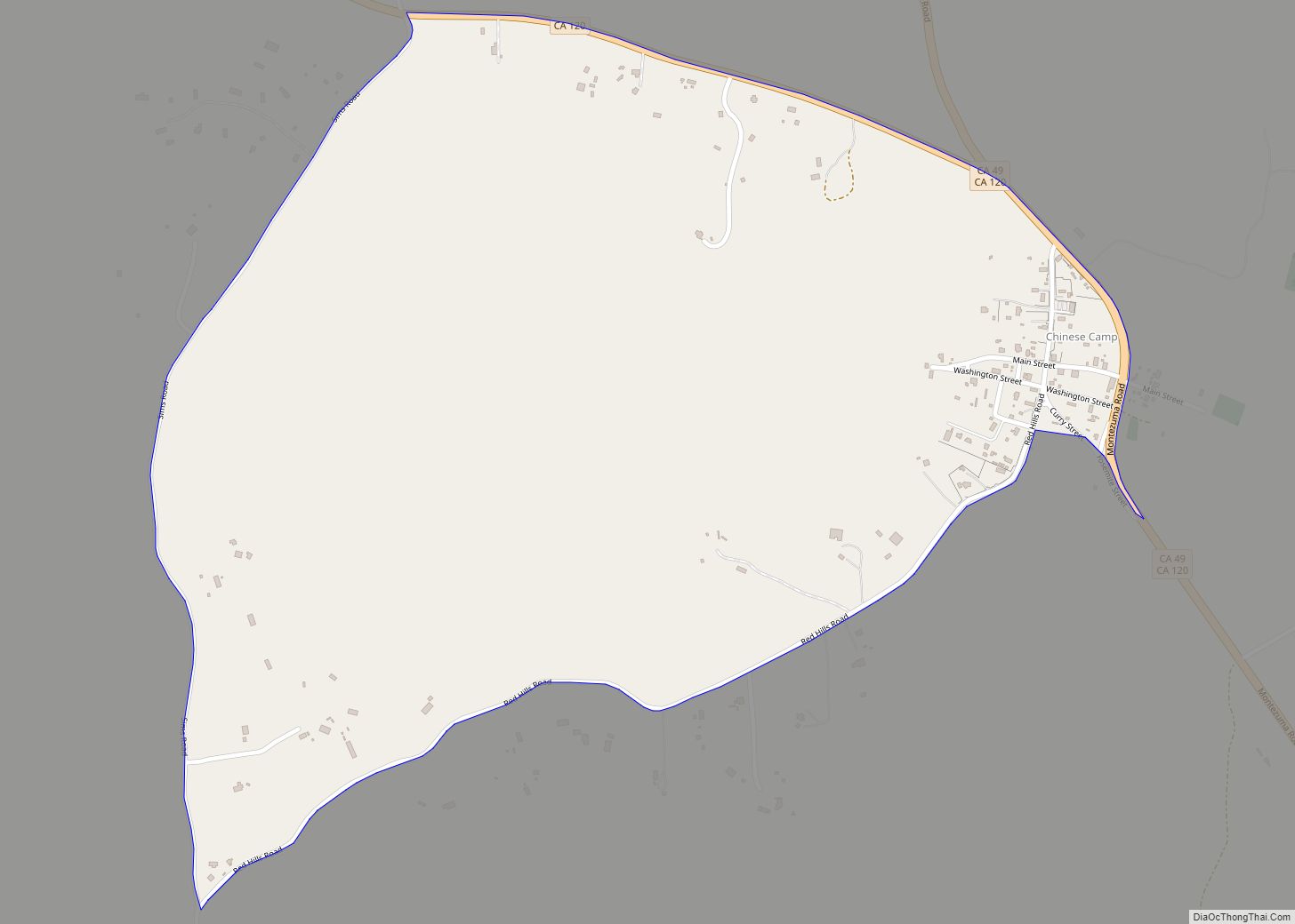
Chinese Camp is a census-designated place (CDP) in Tuolumne County, California, United States. The population was 126 at the 2010 census, down from 146 at the 2000 census. It lies in the grassy foothills of the Sierra Nevada near the southern end of California’s Gold Country.
Chinese Camp is California Historical Landmark #423, since 1949.
| Name: | Chinese Camp CDP |
|---|---|
| LSAD Code: | 57 |
| LSAD Description: | CDP (suffix) |
| State: | California |
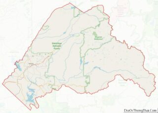
| County: | Tuolumne County |
| Elevation: | 1,273 ft (388 m) |
| Total Area: | 0.90 sq mi (2.33 km²) |
| Land Area: | 0.90 sq mi (2.33 km²) |
| Water Area: | 0.00 sq mi (0.01 km²) 0.28% |
| Total Population: | 90 |
| Population Density: | 100.22/sq mi (38.70/km²) |
| ZIP code: | 95309 |
| Area code: | 209 |
| FIPS code: | 0613182 |
| GNISfeature ID: | 233668 |
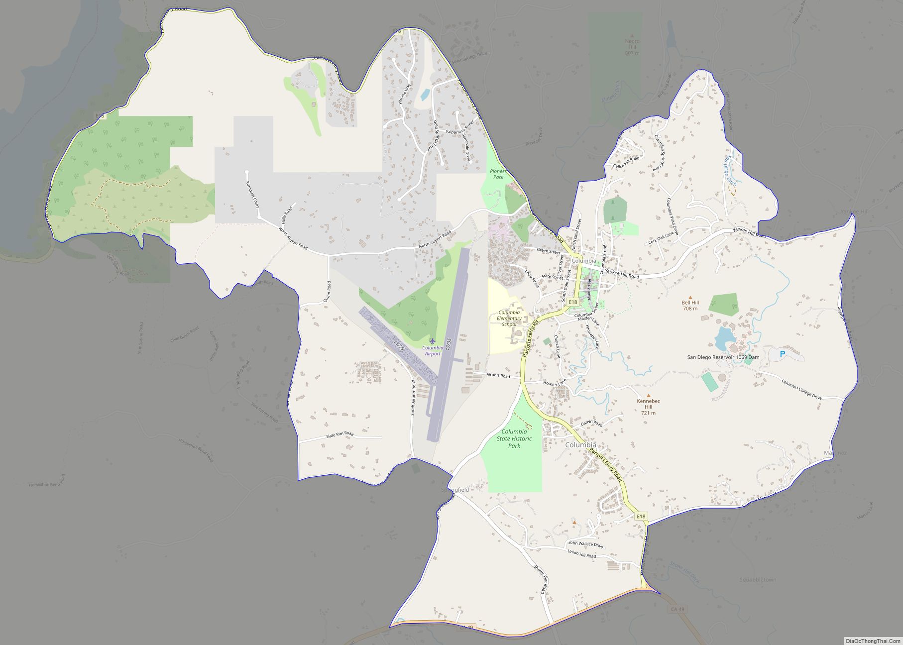
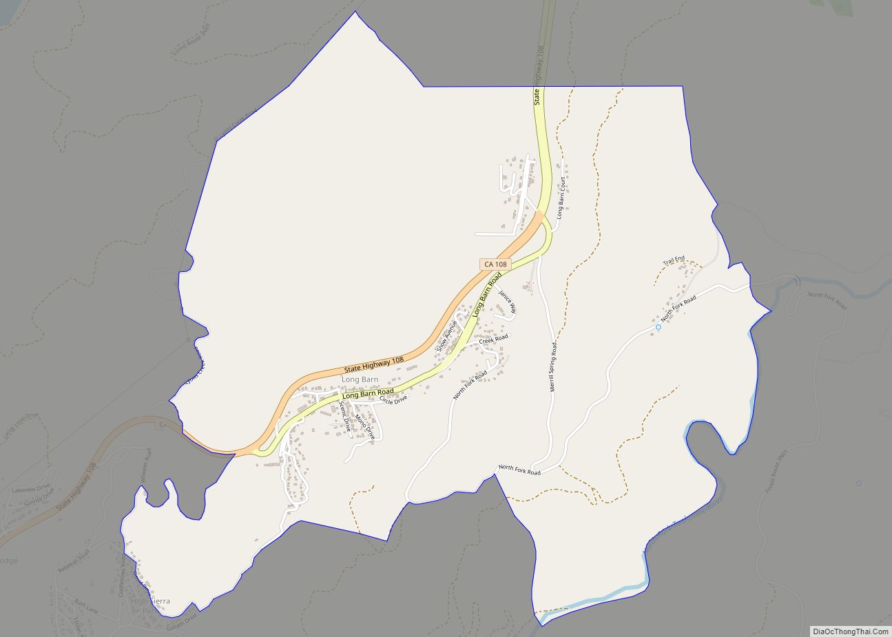
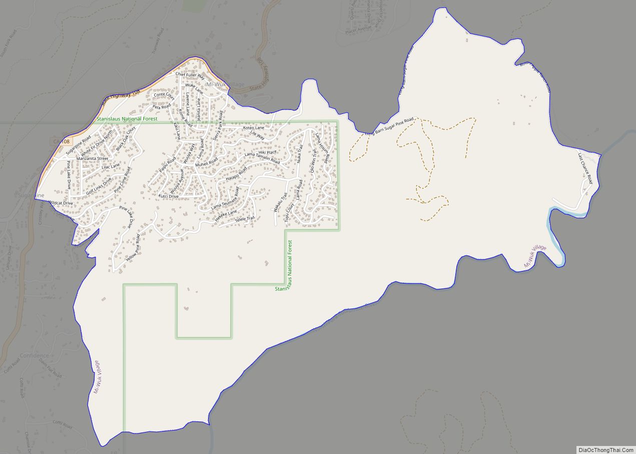
Online Interactive Map
Click on ![]() to view map in "full screen" mode.
to view map in "full screen" mode.
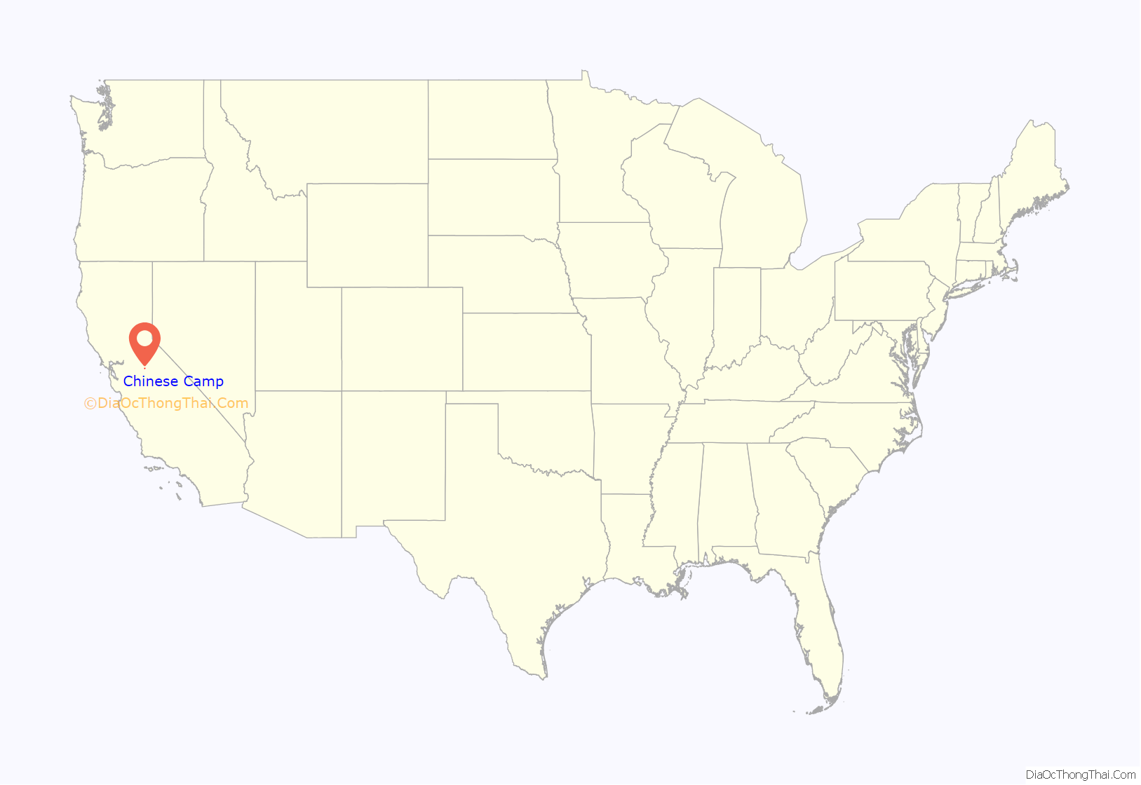
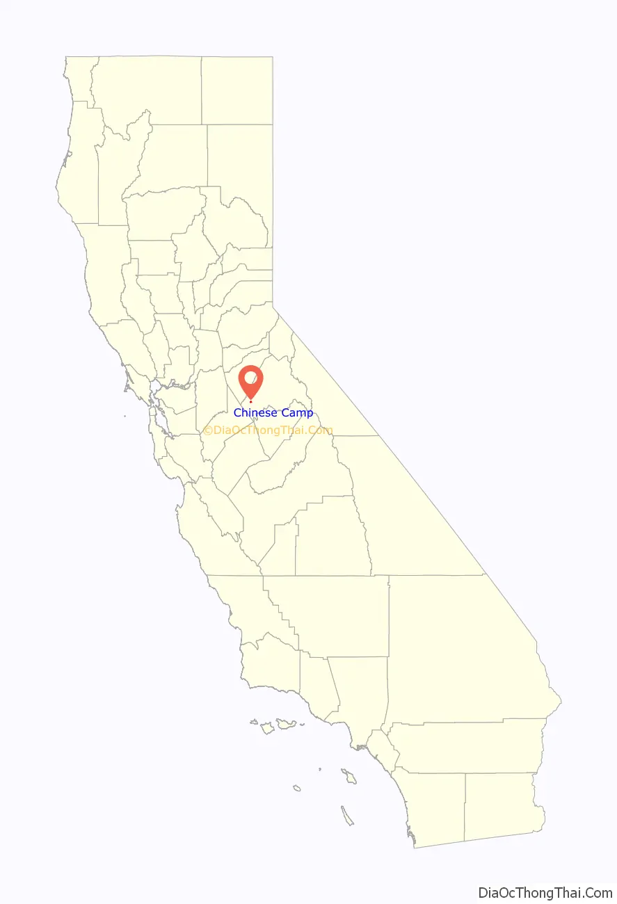
Chinese Camp location map. Where is Chinese Camp CDP?
History
Chinese Camp is the remnant of a notable California Gold Rush mining town. Between 1849 and 1882, thousands of Chinese immigrants arrived in the area to look for good fortune on the legendary “Gold Mountain.”
The settlement was first known as “Camp Washington” or “Washingtonville” and one of the few remaining streets is Washington Street. Some of the very first Chinese laborers arriving in California in 1849 were driven from neighboring Camp Salvado and resettled here, and the area started to become known as “Chinee” or “Chinese Camp” or “Chinese Diggings”. At one point, the town was home to an estimated 5,000 Chinese.
The Chinese Camp post office was established in the general store on April 18, 1854. This building is currently vacant, and a post office is in operation on a plot of land rented from a local resident.
An 1892 Tuolumne County history indicates that, in 1856, four of the six Chinese companies (protective associations) had agents here and that the first tong war (between the Sam Yap and Yan Woo tongs) was fought near here when the population of the area totaled several thousand. The actual location is several miles away, past the ‘red hills’, near the junction of Red Hills Road and J-59.
An 1860 diary says Chinese Camp was the metropolis for the mining district, with many urban comforts. While placer mining had played out in much of the Gold Country by the early 1860s, it was still active here as late as 1870. An 1899 mining bulletin listed the total gold production of the area as near US$2.5 million.
Chinese Camp is the location and subject of California Historical Landmark #423, dedicated on March 4, 1949. The Saint Francis Xavier Roman Catholic Church, established in 1855, making it the oldest church in the county. The church was renovated in 1949, by John Nicolini but has since fallen into disrepair. The church itself is owned by the Stockton archdiocese.
The current Chinese Camp School is very distinctive, having been designed by Dolores Nicolini in the style of a Chinese pagoda. This school has been in operation since 1970. Previously, the school was in a building near the church. This building was lost in a fire on May 4, 2006.
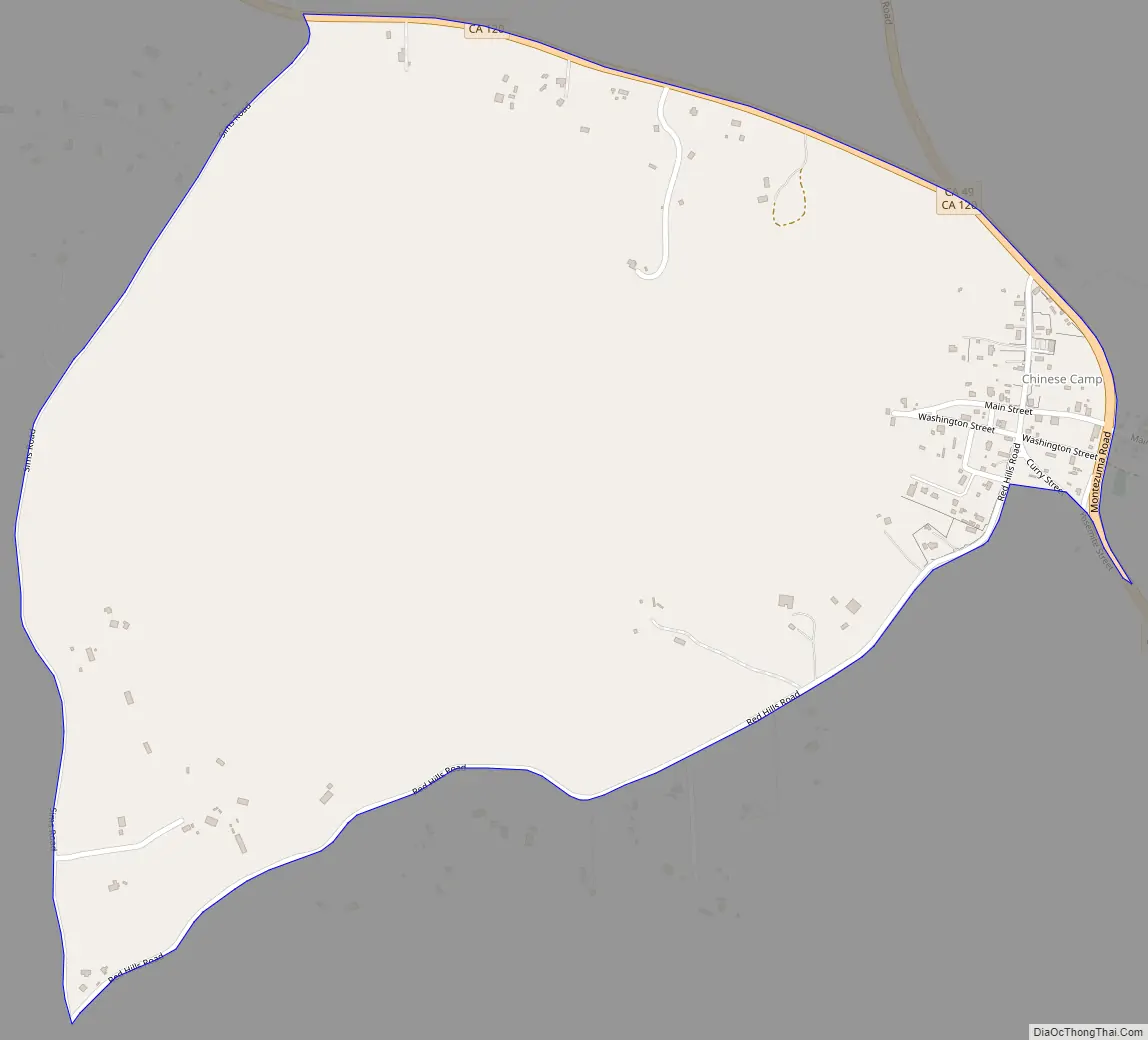
Chinese Camp Road Map
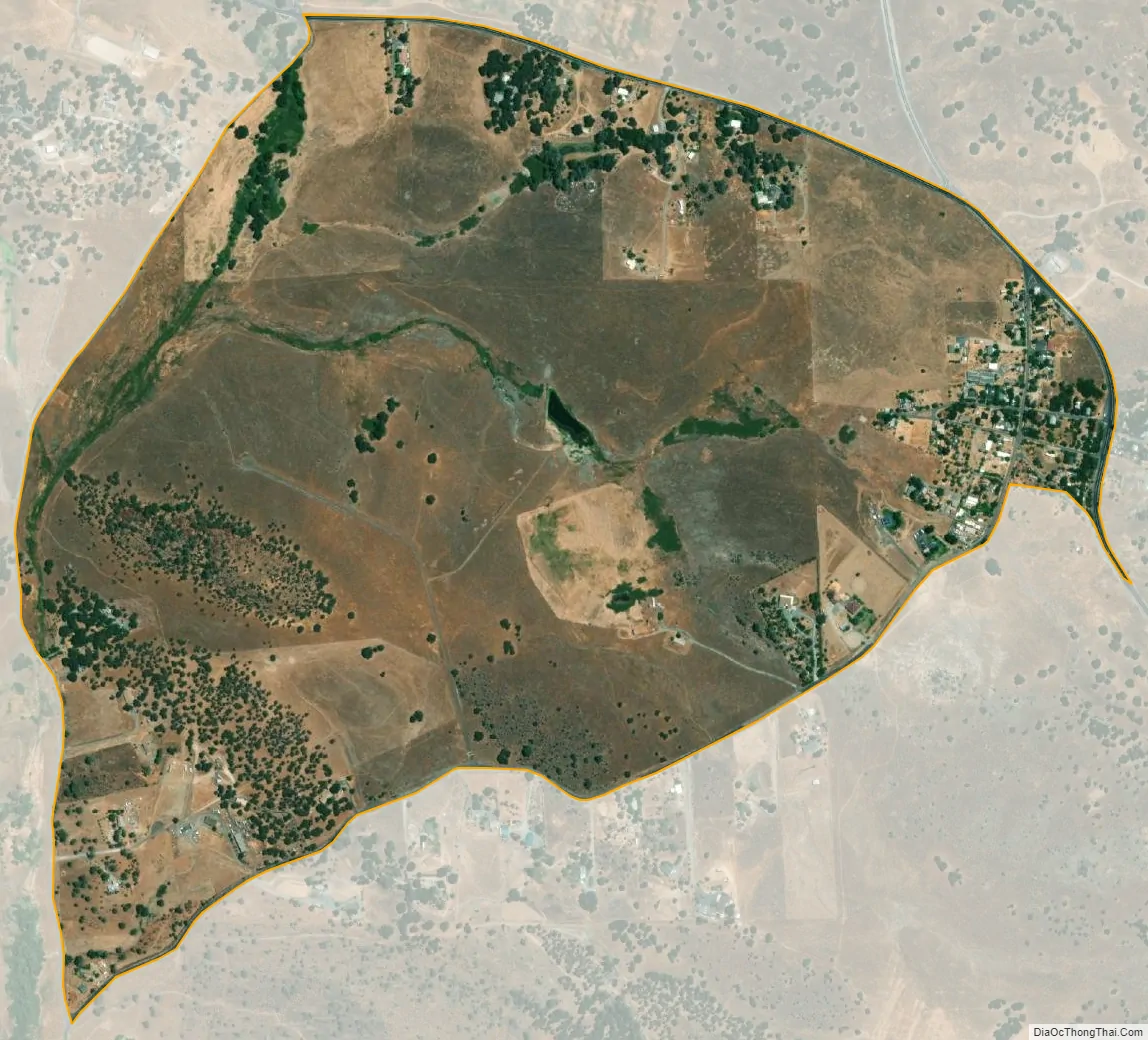
Chinese Camp city Satellite Map
Geography
Chinese Camp is located at 37°52′13″N 120°26′1″W / 37.87028°N 120.43361°W / 37.87028; -120.43361 (37.870294, −120.433526). According to the United States Census Bureau, the CDP has a total area of 0.9 square miles (2.3 km), 99.72% of it land and 0.28% of it water.
See also
Map of California State and its subdivision:- Alameda
- Alpine
- Amador
- Butte
- Calaveras
- Colusa
- Contra Costa
- Del Norte
- El Dorado
- Fresno
- Glenn
- Humboldt
- Imperial
- Inyo
- Kern
- Kings
- Lake
- Lassen
- Los Angeles
- Madera
- Marin
- Mariposa
- Mendocino
- Merced
- Modoc
- Mono
- Monterey
- Napa
- Nevada
- Orange
- Placer
- Plumas
- Riverside
- Sacramento
- San Benito
- San Bernardino
- San Diego
- San Francisco
- San Joaquin
- San Luis Obispo
- San Mateo
- Santa Barbara
- Santa Clara
- Santa Cruz
- Shasta
- Sierra
- Siskiyou
- Solano
- Sonoma
- Stanislaus
- Sutter
- Tehama
- Trinity
- Tulare
- Tuolumne
- Ventura
- Yolo
- Yuba
- Alabama
- Alaska
- Arizona
- Arkansas
- California
- Colorado
- Connecticut
- Delaware
- District of Columbia
- Florida
- Georgia
- Hawaii
- Idaho
- Illinois
- Indiana
- Iowa
- Kansas
- Kentucky
- Louisiana
- Maine
- Maryland
- Massachusetts
- Michigan
- Minnesota
- Mississippi
- Missouri
- Montana
- Nebraska
- Nevada
- New Hampshire
- New Jersey
- New Mexico
- New York
- North Carolina
- North Dakota
- Ohio
- Oklahoma
- Oregon
- Pennsylvania
- Rhode Island
- South Carolina
- South Dakota
- Tennessee
- Texas
- Utah
- Vermont
- Virginia
- Washington
- West Virginia
- Wisconsin
- Wyoming