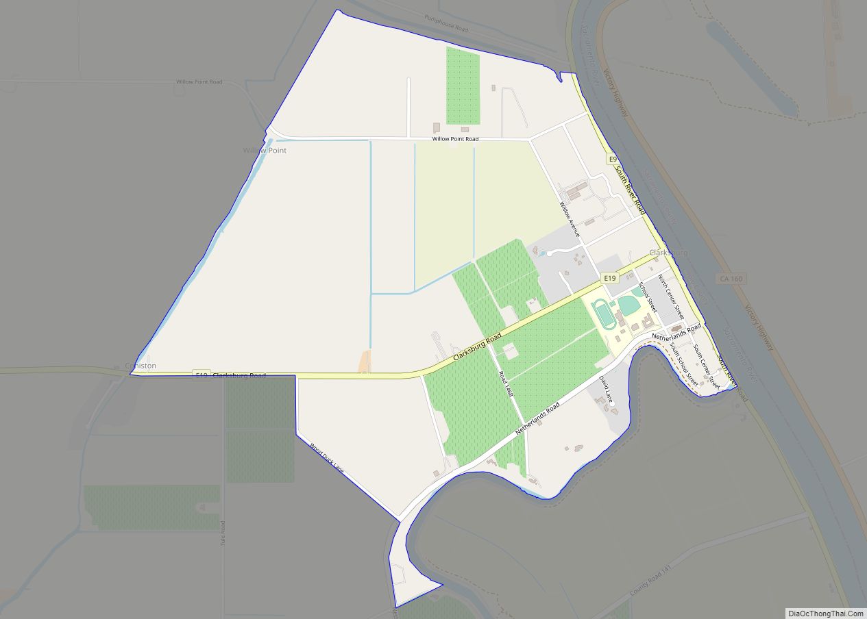
Clarksburg (formerly, Clarksburgh) is a census-designated place in Yolo County, California. It is located on the Sacramento River, in the extreme southeastern corner of the county. It lies at an elevation of 10 feet (3 m) in ZIP code 95612 and area codes 916 and 279.
| Name: | Clarksburg CDP |
|---|---|
| LSAD Code: | 57 |
| LSAD Description: | CDP (suffix) |
| State: | California |
| County: | Yolo County |
| Elevation: | 10 ft (3 m) |
| Total Area: | 2.03 sq mi (5.26 km²) |
| Land Area: | 2.03 sq mi (5.26 km²) |
| Water Area: | 0.00 sq mi (0.00 km²) 0% |
| Total Population: | 402 |
| Population Density: | 198.13/sq mi (76.48/km²) |
| ZIP code: | 95612 |
| Area code: | 916, 279 |
| FIPS code: | 0613784 |
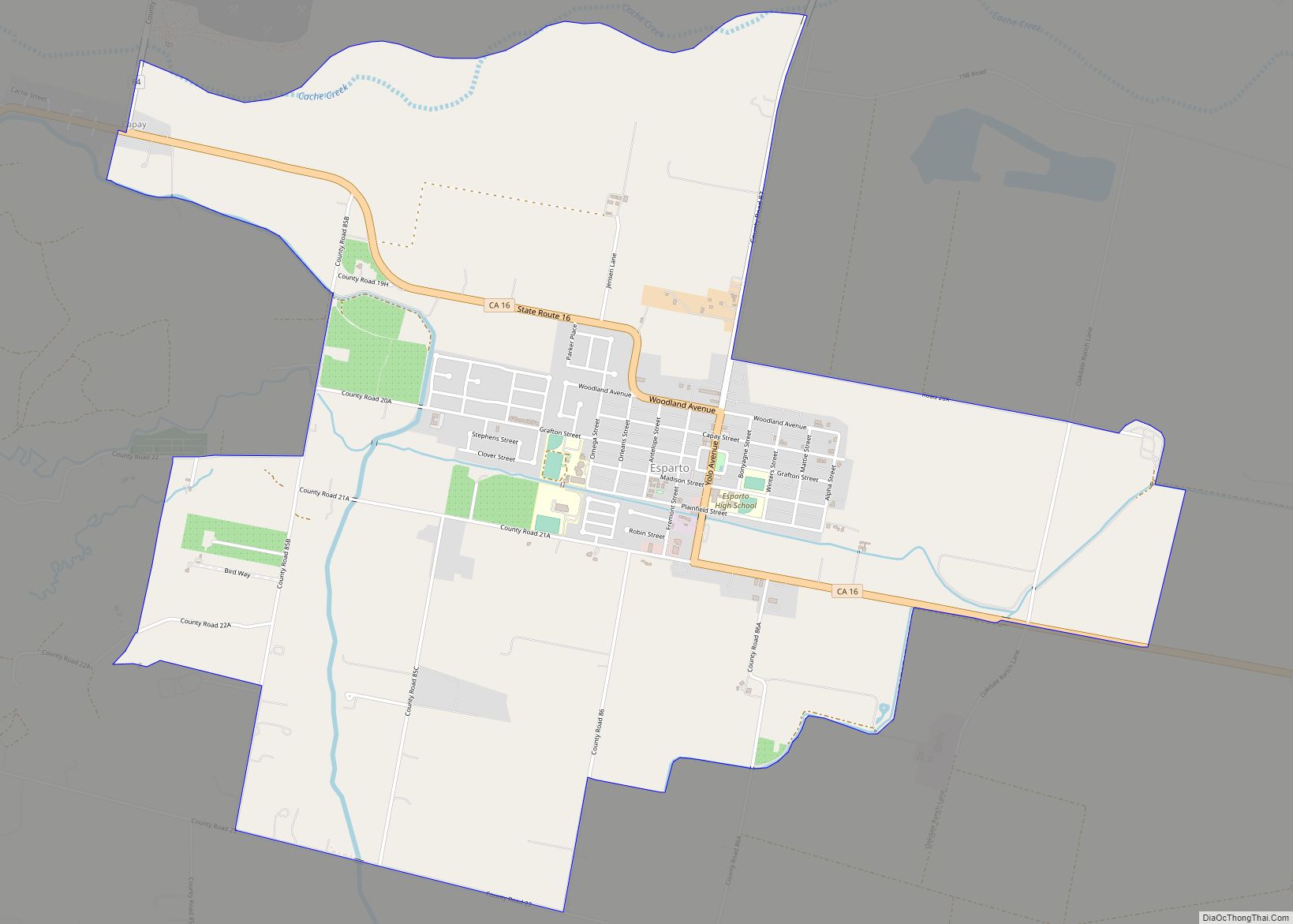
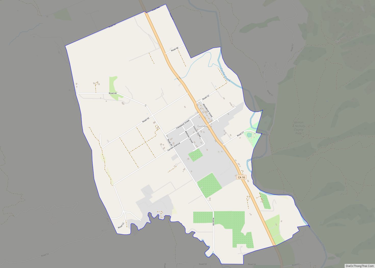
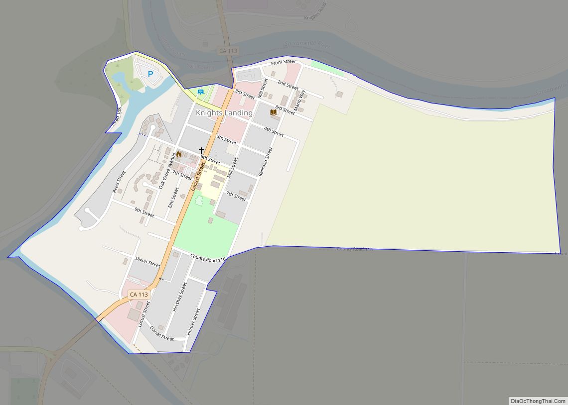
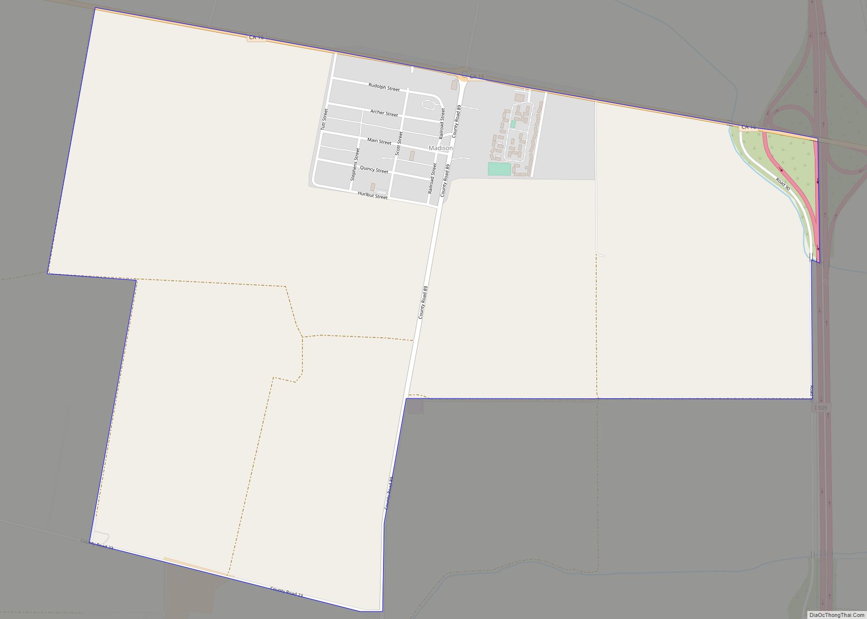
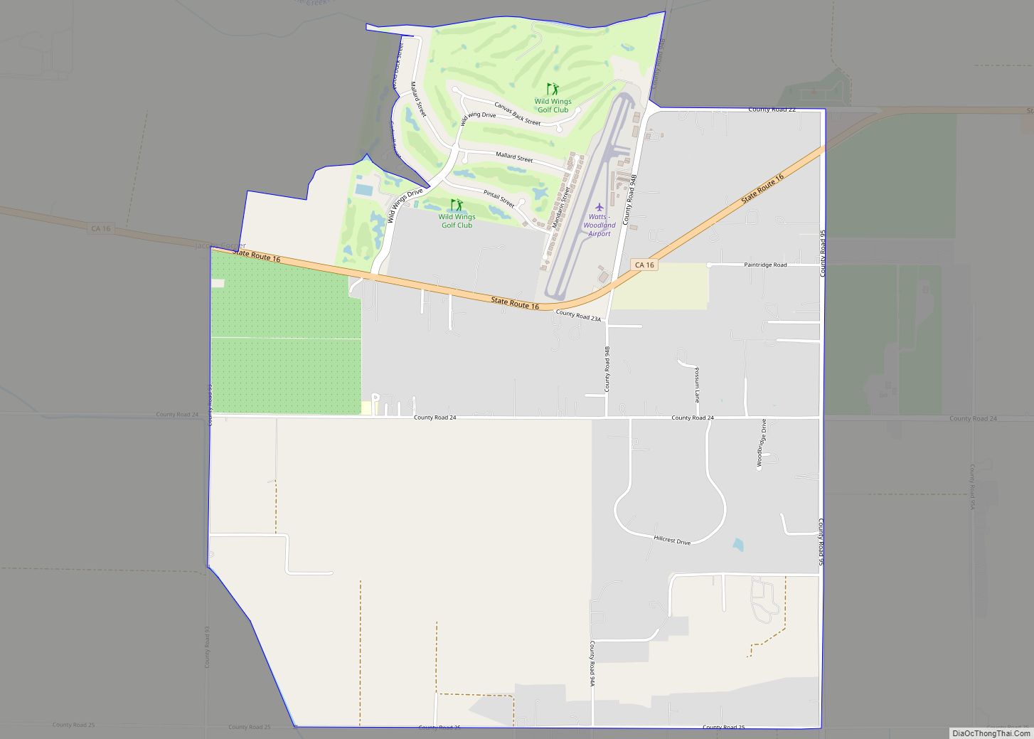
Online Interactive Map
Click on ![]() to view map in "full screen" mode.
to view map in "full screen" mode.
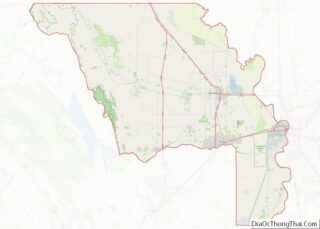
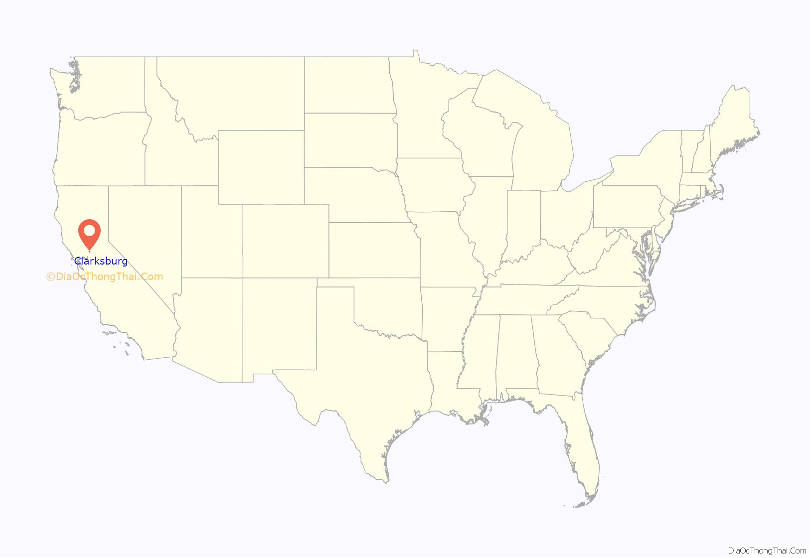
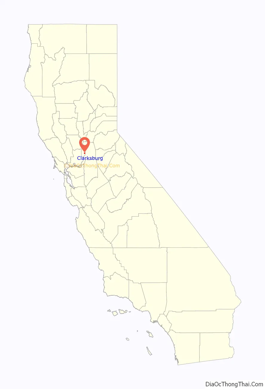
Clarksburg location map. Where is Clarksburg CDP?
History
Clarksburg has been settled in stages dating back as early as the 1850s when Merritt Island was first cleared and developed for agricultural uses. Postal authorities first established a post office in 1876, under the name “Clarksburgh” and changed the name to “Clarksburg” in 1893. The town was named after Robert C. Clark who settled at the place in 1849. In the 1920s the New Holland Land Company began subdividing the tracts in the area and formally established Clarksburg as an unincorporated community. Clarksburg is unique among small California towns in that many of the families who initially settled the area are still present, thus lending a small-town charm to the community.
Present day
The community is mostly centered on the two churches in town, the Holland Market, the volunteer fire department, the three schools, and the public library. The 1930s era Old Sugar Mill (which closed in 1988) is now the center of development with 125 new homes proposed for construction on the property. This will be the first significant development since the Old Sugar Mill was built in the 1930s. The project is currently stayed by the Delta Protection Commission until it is made compliant with their Resource and Management Plan. Appeals were made to this State of California commission by the Natural Resources Defense Council and the Concerned Citizens of Clarksburg. As of February 2008 the Old Sugar Mill development was involved in significant litigation. A portion of the original Old Sugar Mill is now home to a modern wine tasting and production facility.
The Bogle Winery on Merritt Island has become the most famous of the Clarksburg appellation vintners with their wines being sold worldwide and being served at the White House as of 2007.
The population in 2008 is approximately 300. This is an approximation as the community borders are undefined and opinions on what outlying areas are actually part of Clarksburg vary from one source to the next. The portion of Sacramento County directly across the Sacramento River was once considered part of the community due to the ferry crossing that existed at Clarksburg from 1920 until the Freeport Bridge opened on New Year’s Day in 1930. The ferry itself sank in November, 1928. Some of the older members of the community still refer to that adjoining area of Sacramento County as Clarksburg for that reason.
There are three schools in Clarksburg: Delta Elementary Charter School, Clarksburg Middle School, and Delta High School. All three schools are a part of the River Delta Unified School District.
Architectural heritage
Architect William Raymond Yelland would spend summers in Clarksburg with family. W.R. Yelland designed several buildings in the town of Clarksburg including several homes, the Clarksburg Community Church, and the Sugar Mill. W.R. Yelland is most noted for his Arts and Crafts and Storybook Houses of the 1920s and 1930s.
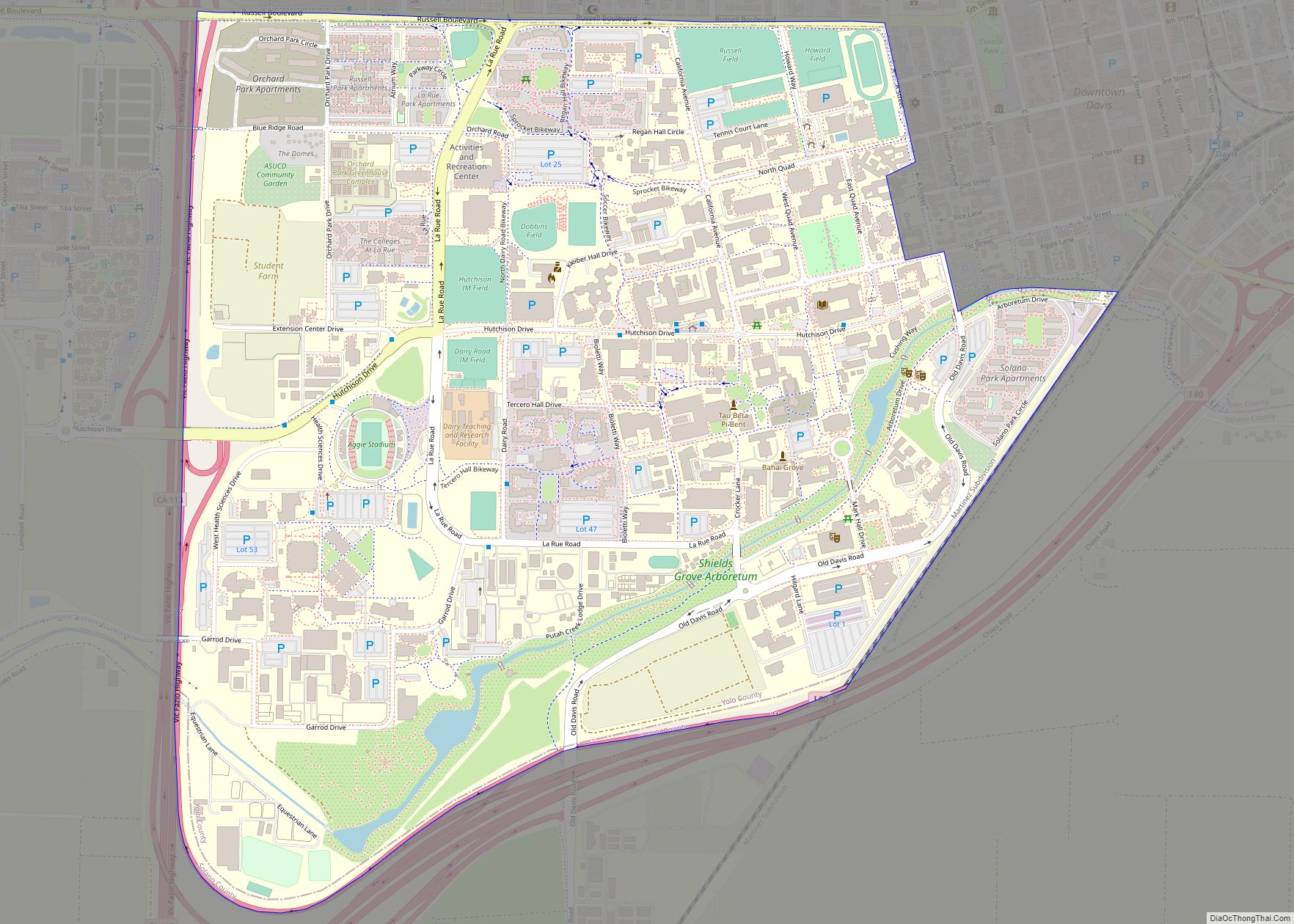
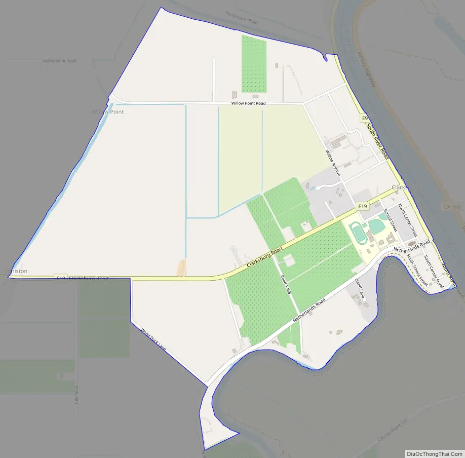
Clarksburg Road Map
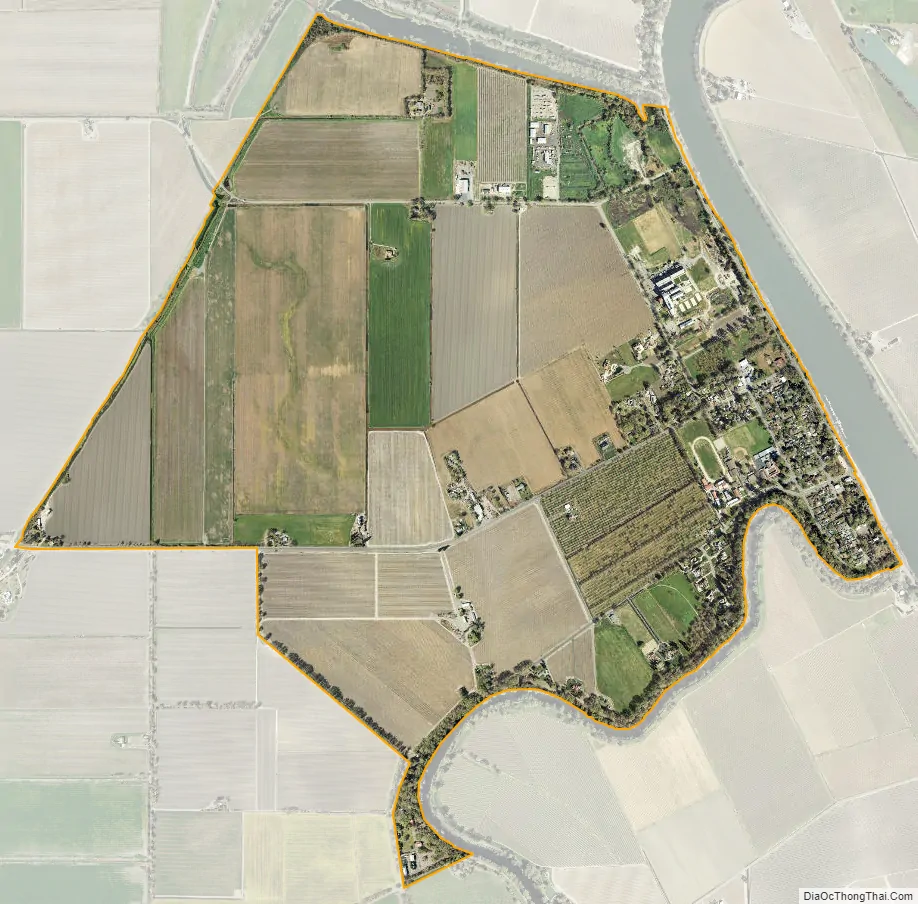
Clarksburg city Satellite Map
Geography
According to the United States Census Bureau, the CDP covers an area of 2.0 square miles (5.3 km), all of it land.
Climate
According to the Köppen Climate Classification system, Clarksburg has a warm-summer Mediterranean climate, abbreviated “Csa” on climate maps.
See also
Map of California State and its subdivision:- Alameda
- Alpine
- Amador
- Butte
- Calaveras
- Colusa
- Contra Costa
- Del Norte
- El Dorado
- Fresno
- Glenn
- Humboldt
- Imperial
- Inyo
- Kern
- Kings
- Lake
- Lassen
- Los Angeles
- Madera
- Marin
- Mariposa
- Mendocino
- Merced
- Modoc
- Mono
- Monterey
- Napa
- Nevada
- Orange
- Placer
- Plumas
- Riverside
- Sacramento
- San Benito
- San Bernardino
- San Diego
- San Francisco
- San Joaquin
- San Luis Obispo
- San Mateo
- Santa Barbara
- Santa Clara
- Santa Cruz
- Shasta
- Sierra
- Siskiyou
- Solano
- Sonoma
- Stanislaus
- Sutter
- Tehama
- Trinity
- Tulare
- Tuolumne
- Ventura
- Yolo
- Yuba
- Alabama
- Alaska
- Arizona
- Arkansas
- California
- Colorado
- Connecticut
- Delaware
- District of Columbia
- Florida
- Georgia
- Hawaii
- Idaho
- Illinois
- Indiana
- Iowa
- Kansas
- Kentucky
- Louisiana
- Maine
- Maryland
- Massachusetts
- Michigan
- Minnesota
- Mississippi
- Missouri
- Montana
- Nebraska
- Nevada
- New Hampshire
- New Jersey
- New Mexico
- New York
- North Carolina
- North Dakota
- Ohio
- Oklahoma
- Oregon
- Pennsylvania
- Rhode Island
- South Carolina
- South Dakota
- Tennessee
- Texas
- Utah
- Vermont
- Virginia
- Washington
- West Virginia
- Wisconsin
- Wyoming