Coachella (/ˌkoʊəˈtʃɛlə/ KOH-ə-CHEL-ə, commonly /koʊˈtʃɛlə/ koh-CHEL-ə) is a city in Riverside County, California. It is the namesake and easternmost city of the Coachella Valley, in Southern California’s Colorado Desert.
Coachella is one of California’s fastest-growing cities; when it incorporated in 1946, it had 1,000 residents. By the 2020 Census, the population had grown to 41,941. The city is officially bilingual in English and Spanish, with 90% of residents speaking Spanish.
| Name: | Coachella city |
|---|---|
| LSAD Code: | 25 |
| LSAD Description: | city (suffix) |
| State: | California |
| County: | Riverside County |
| Incorporated: | December 13, 1946 |
| Elevation: | −69 ft (−21 m) |
| Total Area: | 30.08 sq mi (77.90 km²) |
| Land Area: | 30.08 sq mi (77.90 km²) |
| Water Area: | 0.00 sq mi (0.00 km²) 0% |
| Total Population: | 41,941 |
| Population Density: | 1,394.41/sq mi (538.39/km²) |
| ZIP code: | 92236 |
| FIPS code: | 0614260 |
| Website: | www.coachella.org |
Online Interactive Map
Click on ![]() to view map in "full screen" mode.
to view map in "full screen" mode.
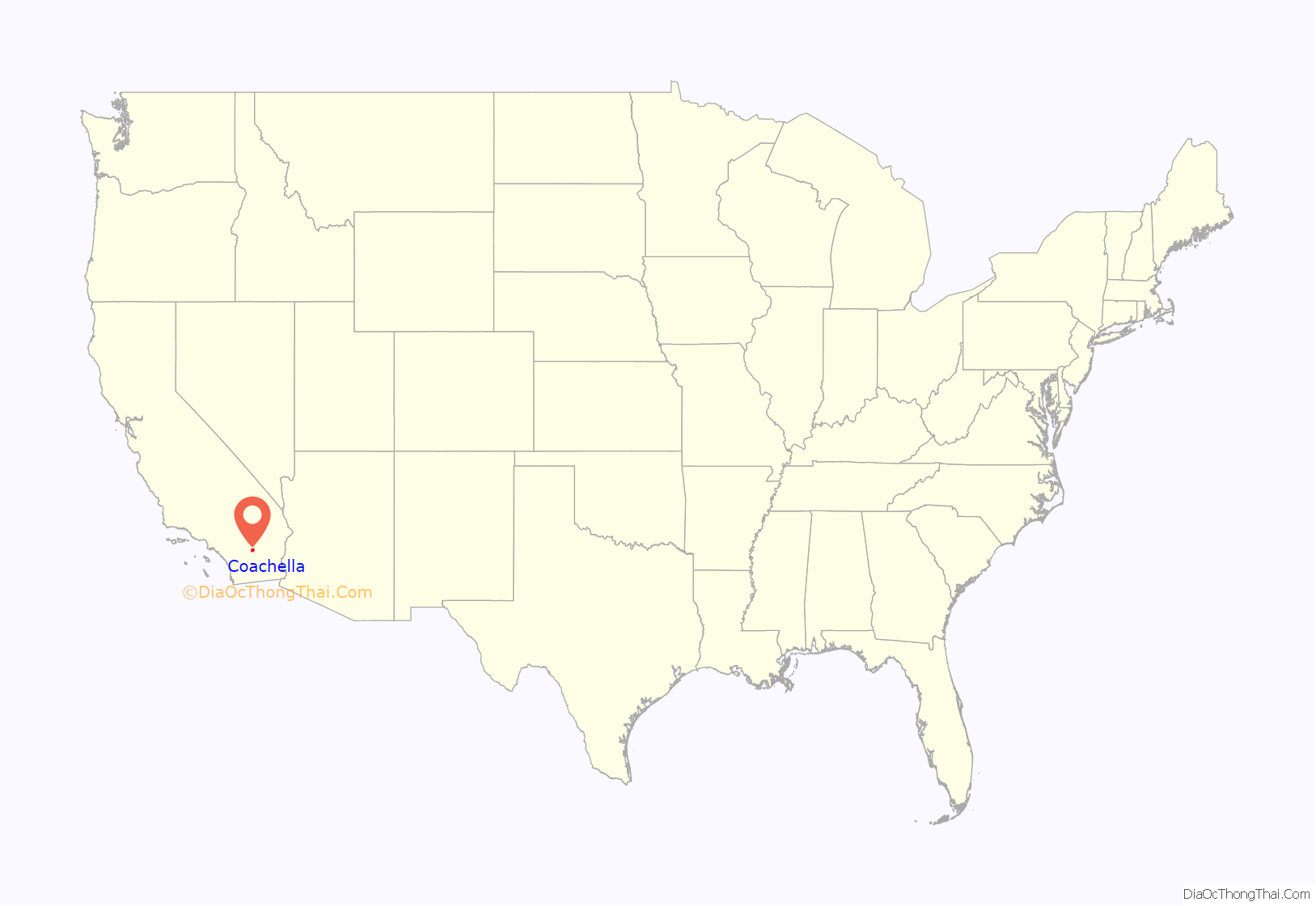
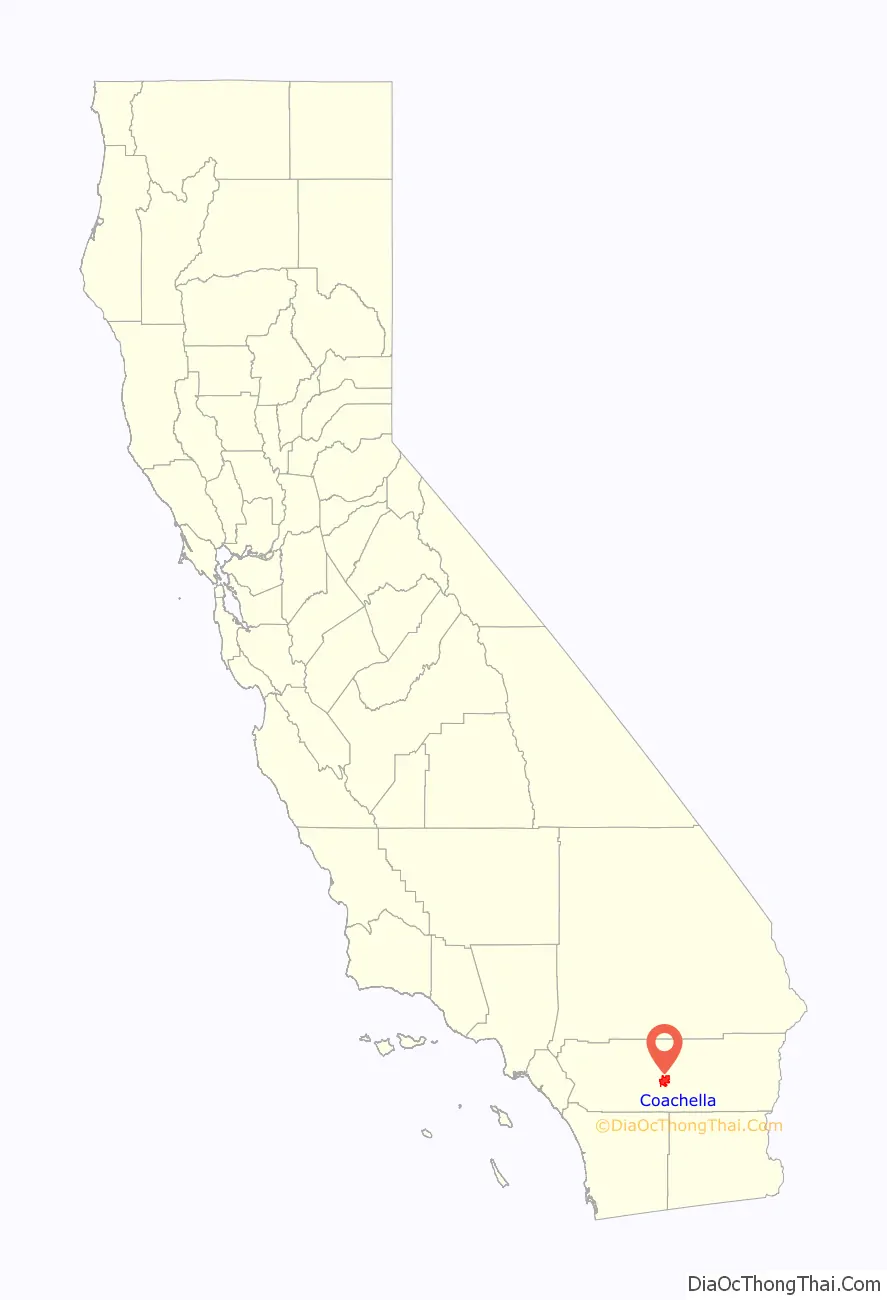
Coachella location map. Where is Coachella city?
History
The city was founded as Woodspur in 1876, when the Southern Pacific Railroad built a rail siding on the site. In the 1880s the indigenous Cahuilla tribe sold their land plots to the railroads for new lands east of the current town site, and in the 1890s, a few hundred traqueros took up settlement along the tracks. In 1901, the citizens of Woodspur voted on a new name for their community and at a town hall meeting, the homeowners settled on “Coachella”.
The origin of the name Coachella is unclear. Some locals believe it was a misspelling of conchilla, a Spanish word for the small white snail shells found in the valley’s sandy soil, vestiges of a lake that dried up over 3,000 years ago.
Coachella began as a 2.5-square-mile (6.5 km) territory gridded out on the mesquite-covered desert floor. Coachella became a city in 1946. During the incorporation voting process, the first city council was tentatively elected: Lester C. Cox, T. E. Reyes, John W. Westerfield, Lester True, and Paul S. Atkinson. Also elected on November 26, 1946, were City Clerk Marie L. Johnson and City Treasurer John C. Skene. John Westerfield was appointed mayor at the first meeting.
In the 1950s Coachella begin to expand into its range, about 32 square miles (83 km), an area which contained large year-round agricultural corporate farms and fruit groves, particularly of citrus (lemons, oranges, grapefruit) and date palms.
By the 1980 census, Coachella’s population had reached at least 10,000 due to relatively slow population growth. Due to a high percentage of Hispanics in the city, Coachella was a scene of Chicano political activism. The agricultural area surrounding Coachella was where the United Farm Workers union staged strikes and protests, including visits by UFW leader César Chávez in the 1960s and 1970s. In 2018, Harrison Street (the main street in town) was renamed for him.
In 1995, state and federal officials designated Coachella as part of the Coachella Valley Enterprise Zone to boost economic activity and entice businesses to relocate to this rural city which was once home to several fruit shipping plants.
In 2006, 29-year-old Eduardo Garcia became the city’s youngest mayor ever. Garcia was a lifelong Coachella resident and a 1995 graduate of Coachella Valley High School. He attended the College of the Desert in Palm Desert, California.
In 2010, a Coca-Cola bottling facility (a LEED certified building) was added to the city’s new light industry facilities, a boon in the rapid-growth community which has a currently troubled economy.
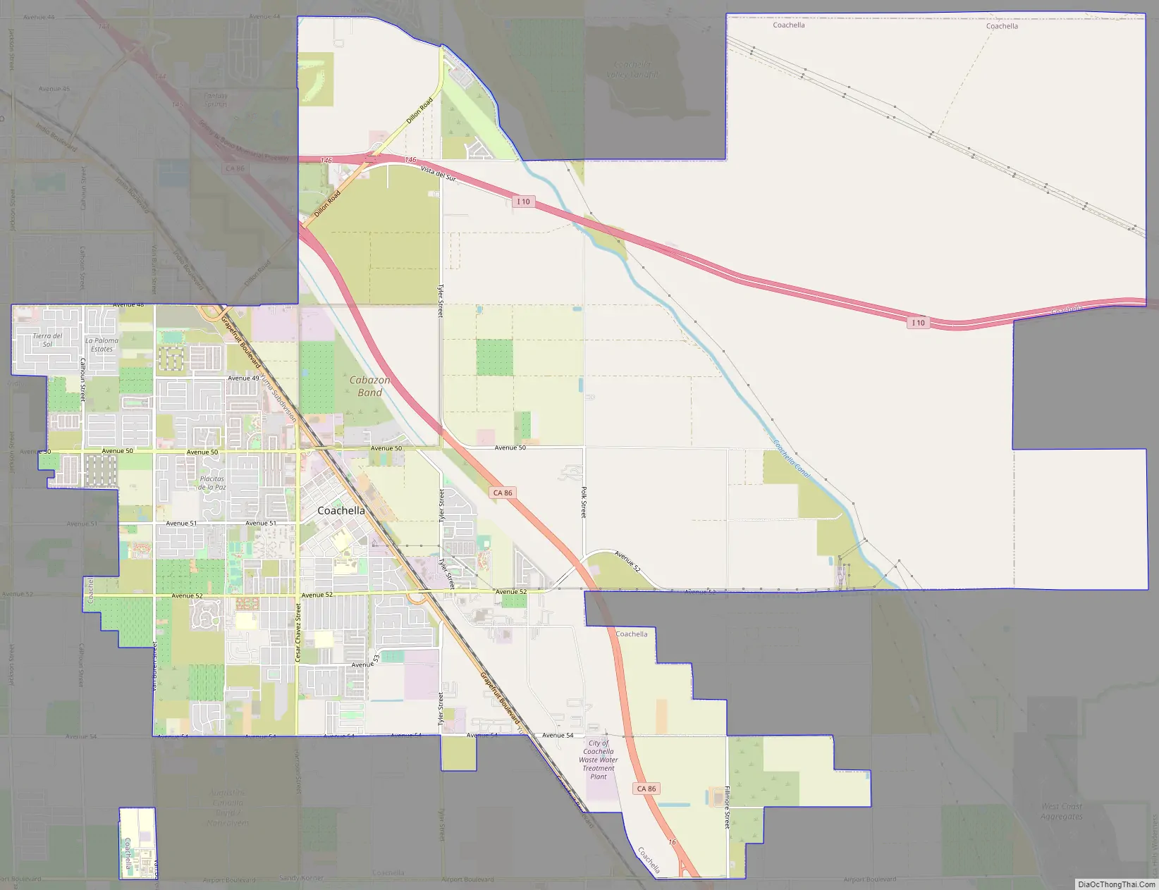
Coachella Road Map
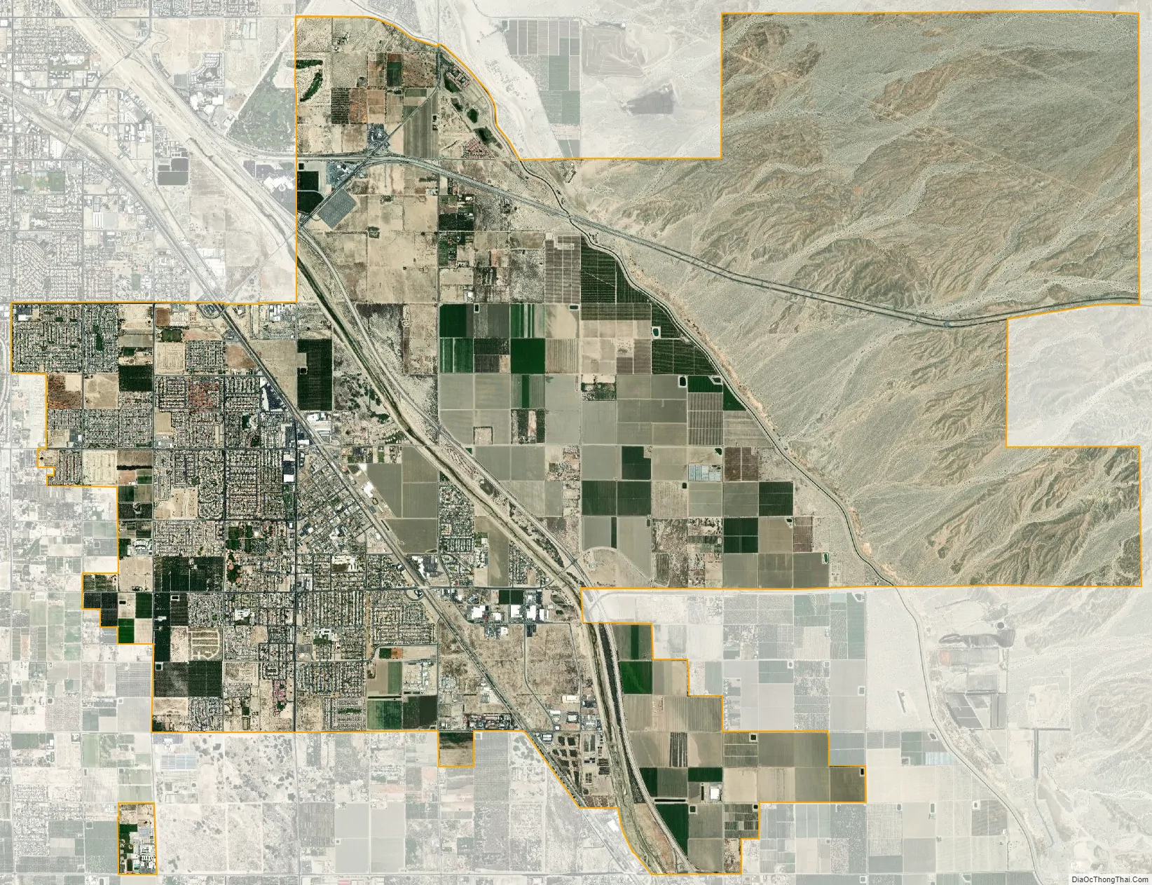
Coachella city Satellite Map
Geography
According to the United States Census Bureau, the city has a total area of 28.95 square miles (75.0 km), all of it land.
The elevation is 68 feet (21 m) below sea level, as the eastern half of the Coachella Valley is below sea level. The saltwater lake, Salton Sea, 10 miles (16 km) south of Coachella, is 228 feet (69 m) below sea level.
Climate
This climate is dominated in all months by the subtropical anticyclone, or subtropical high, with its descending air, elevated inversions, and clear skies. Although only a short distance from Banning, California which has a warm-summer Mediterranean climate, it also lies in a rainshadow that allows Coachella only about one-fourth the precipitation of Banning. The Köppen Climate Classification subtype for this climate is “Bwh”. (Tropical and Subtropical Desert Climate).
See also
Map of California State and its subdivision:- Alameda
- Alpine
- Amador
- Butte
- Calaveras
- Colusa
- Contra Costa
- Del Norte
- El Dorado
- Fresno
- Glenn
- Humboldt
- Imperial
- Inyo
- Kern
- Kings
- Lake
- Lassen
- Los Angeles
- Madera
- Marin
- Mariposa
- Mendocino
- Merced
- Modoc
- Mono
- Monterey
- Napa
- Nevada
- Orange
- Placer
- Plumas
- Riverside
- Sacramento
- San Benito
- San Bernardino
- San Diego
- San Francisco
- San Joaquin
- San Luis Obispo
- San Mateo
- Santa Barbara
- Santa Clara
- Santa Cruz
- Shasta
- Sierra
- Siskiyou
- Solano
- Sonoma
- Stanislaus
- Sutter
- Tehama
- Trinity
- Tulare
- Tuolumne
- Ventura
- Yolo
- Yuba
- Alabama
- Alaska
- Arizona
- Arkansas
- California
- Colorado
- Connecticut
- Delaware
- District of Columbia
- Florida
- Georgia
- Hawaii
- Idaho
- Illinois
- Indiana
- Iowa
- Kansas
- Kentucky
- Louisiana
- Maine
- Maryland
- Massachusetts
- Michigan
- Minnesota
- Mississippi
- Missouri
- Montana
- Nebraska
- Nevada
- New Hampshire
- New Jersey
- New Mexico
- New York
- North Carolina
- North Dakota
- Ohio
- Oklahoma
- Oregon
- Pennsylvania
- Rhode Island
- South Carolina
- South Dakota
- Tennessee
- Texas
- Utah
- Vermont
- Virginia
- Washington
- West Virginia
- Wisconsin
- Wyoming


