Palm Desert is a city in Riverside County, California, United States, in the Coachella Valley, approximately 14 miles (23 km) east of Palm Springs, 121 miles (195 km) northeast of San Diego and 122 miles (196 km) east of Los Angeles. The population was 48,445 at the 2010 census. The city has been one of the state’s fastest growing since 1980, when its population was 11,801.
A major center of growth in the Coachella Valley, Palm Desert is a popular retreat for “snowbirds” from colder climates (the Eastern and Northern United States, and Canada), who swell its population by an estimated 31,000 each winter. Palm Desert has seen more residents become “full-timers”, mainly from the coasts and urban centers of California, who have come for both affordable and high-valued homes.
| Name: | Palm Desert city |
|---|---|
| LSAD Code: | 25 |
| LSAD Description: | city (suffix) |
| State: | California |
| County: | Riverside County |
| Incorporated: | November 26, 1973 |
| Elevation: | 220 ft (67 m) |
| Total Area: | 27.02 sq mi (69.97 km²) |
| Land Area: | 26.81 sq mi (69.44 km²) |
| Water Area: | 0.20 sq mi (0.53 km²) 0.76% |
| Total Population: | 48,445 |
| Population Density: | 1,986.98/sq mi (767.17/km²) |
| FIPS code: | 0655184 |
| Website: | www.cityofpalmdesert.org |
Online Interactive Map
Click on ![]() to view map in "full screen" mode.
to view map in "full screen" mode.
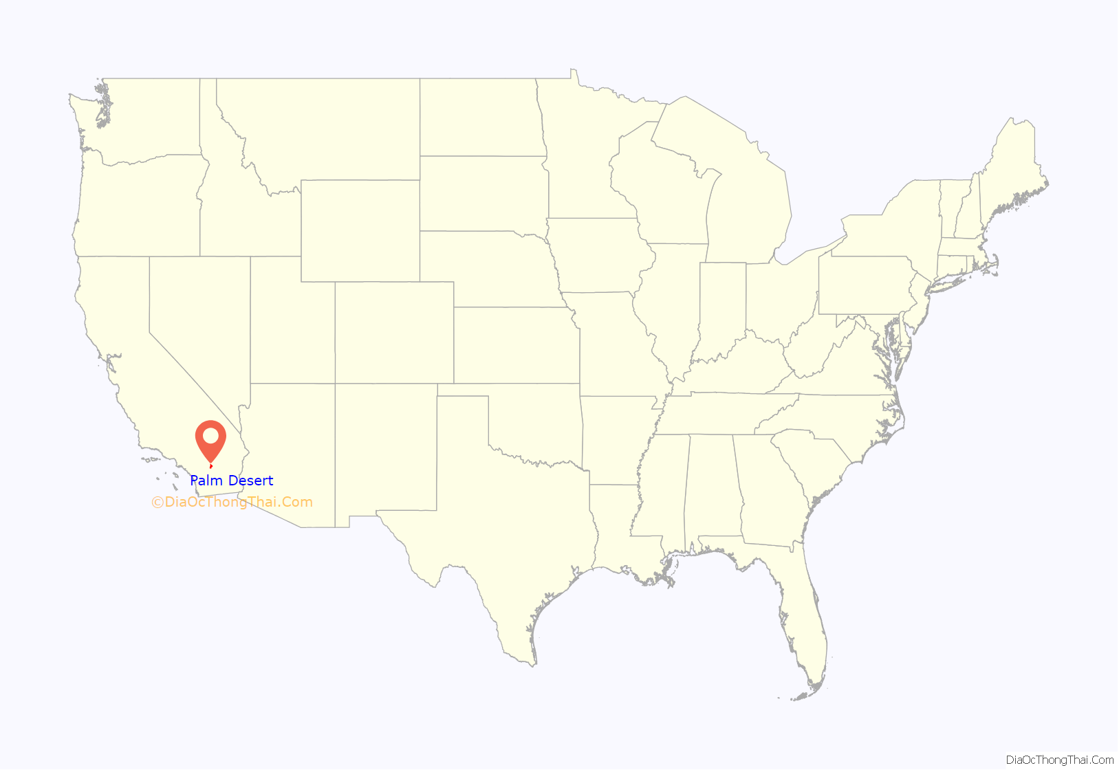
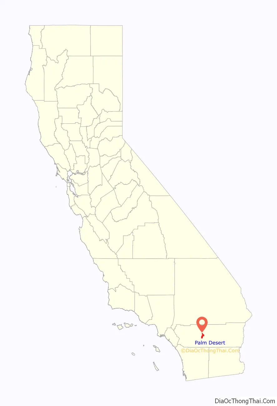
Palm Desert location map. Where is Palm Desert city?
History
The ancestral homeland of Cahuilla, a division of the Morongo Band of Mission Indians. Their bird songs and funeral songs share the oral tradition of how they were present on these lands for over 10,000 years.
The area was first known as the Old MacDonald Ranch, but the name changed to Palm Village in the 1920s when date palms were planted. Local historians said the main residents of pre-1950 Palm Desert were Cahuilla Indian farmers of the now extinct San Cayetano tribe, but a few members of the Montoya family of Cahuilla/Spanish descent were prominent leaders in civic life.
The first residential development occurred in 1943 in connection with an Army maintenance camp in the area. That site was later developed into “El Paseo”, an upscale shopping district not unlike Rodeo Drive. In 1948, the Palm Desert Corporation began to develop real estate, and in 1951 the area was given its present name.
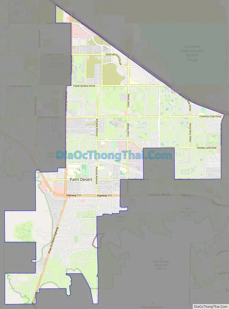
Palm Desert Road Map
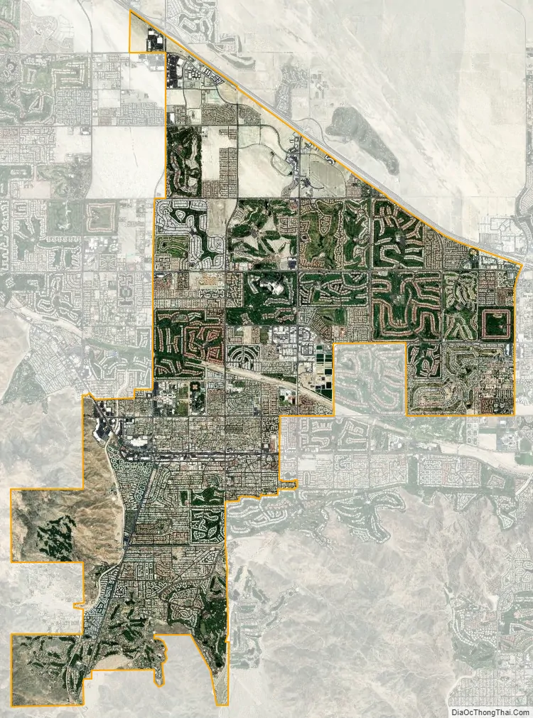
Palm Desert city Satellite Map
Geography
According to the United States Census Bureau, the city has a total area of 27.0 square miles (70 km), of which, 26.8 square miles (69 km) of it is land and 0.2 square miles (0.52 km) of it (0.76%) is water.
The elevation (City hall) is 224 feet (68 m) above sea level. Elevations vary from the lower northern half once covered in sand dunes to the upper slope southern cove (300–900 feet or 91–274 metres) all the way to the ridgeline at 1,000 feet (300 m). Palm Desert is located in the Coachella Valley, the north-western extension of the Sonoran Desert.
Sun City Palm Desert, California lies on the northern side of Interstate 10 from Palm Desert itself, but is unincorporated and not part of the City of Palm Desert (the original name was Sun City Palm Springs from 1991 to 1996).
Climate
The climate of the Coachella Valley is influenced by the surrounding geography. High mountain ranges on three sides and a south-sloping valley floor all contribute to its year-round warm climate, having among the warmest winters in the western United States. Palm Desert has a hot desert climate: Its average annual high temperature is 88 °F (31 °C) and average annual low is 64 °F (18 °C), but summer highs above 108 °F (42 °C) are common and sometimes exceed 120 °F (49 °C), while summer night lows often stay above 82 °F (28 °C). Winters are warm with daytime highs between 70–82 °F (21–28 °C). Under 3 inches (76 mm) of annual precipitation are average, with over 348 days of sunshine per year. The mean annual temperature at 76.0 °F (24.4 °C) makes Palm Desert one of the warmest places in the United States. The hottest temperature ever recorded in Palm Desert was 125 °F (52 °C) on July 6, 1905.
The surrounding mountains create a thermal belt in the southern foothills of Palm Desert, leading to a micro-climate with significantly warmer night-time temperatures during the winter months. The University of California maintains weather stations located in this thermal belt as part of their ecological project in the Philip L. Boyd Deep Canyon Desert Research Center.
See also
Map of California State and its subdivision:- Alameda
- Alpine
- Amador
- Butte
- Calaveras
- Colusa
- Contra Costa
- Del Norte
- El Dorado
- Fresno
- Glenn
- Humboldt
- Imperial
- Inyo
- Kern
- Kings
- Lake
- Lassen
- Los Angeles
- Madera
- Marin
- Mariposa
- Mendocino
- Merced
- Modoc
- Mono
- Monterey
- Napa
- Nevada
- Orange
- Placer
- Plumas
- Riverside
- Sacramento
- San Benito
- San Bernardino
- San Diego
- San Francisco
- San Joaquin
- San Luis Obispo
- San Mateo
- Santa Barbara
- Santa Clara
- Santa Cruz
- Shasta
- Sierra
- Siskiyou
- Solano
- Sonoma
- Stanislaus
- Sutter
- Tehama
- Trinity
- Tulare
- Tuolumne
- Ventura
- Yolo
- Yuba
- Alabama
- Alaska
- Arizona
- Arkansas
- California
- Colorado
- Connecticut
- Delaware
- District of Columbia
- Florida
- Georgia
- Hawaii
- Idaho
- Illinois
- Indiana
- Iowa
- Kansas
- Kentucky
- Louisiana
- Maine
- Maryland
- Massachusetts
- Michigan
- Minnesota
- Mississippi
- Missouri
- Montana
- Nebraska
- Nevada
- New Hampshire
- New Jersey
- New Mexico
- New York
- North Carolina
- North Dakota
- Ohio
- Oklahoma
- Oregon
- Pennsylvania
- Rhode Island
- South Carolina
- South Dakota
- Tennessee
- Texas
- Utah
- Vermont
- Virginia
- Washington
- West Virginia
- Wisconsin
- Wyoming


