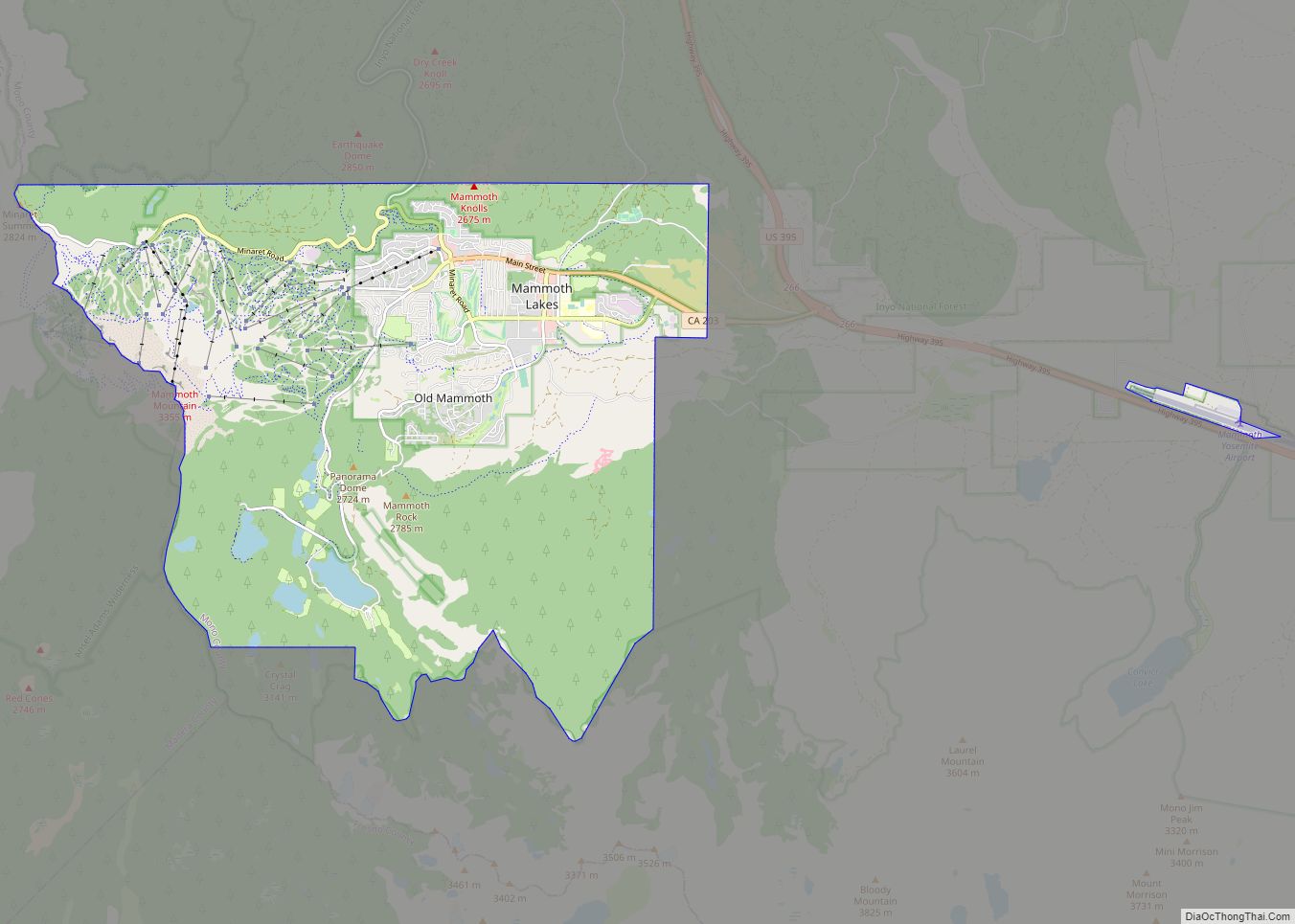
Coleville is an unincorporated community and census-designated place (CDP) in Mono County, California, United States. It is located at an elevation of 5,141 feet (1,567 m) in the Antelope Valley on the West Walker River. The population was 419 at the 2020 census, down from 495 at the 2010 census.
The ZIP Code is 96107, and the community is inside area codes 442 and 760.
| Name: | Coleville CDP |
|---|---|
| LSAD Code: | 57 |
| LSAD Description: | CDP (suffix) |
| State: | California |
| County: | Mono County |
| Elevation: | 5,141 ft (1,567 m) |
| Total Area: | 19.27 sq mi (49.90 km²) |
| Land Area: | 19.27 sq mi (49.90 km²) |
| Water Area: | 0.00 sq mi (0.00 km²) 0% |
| Total Population: | 419 |
| Population Density: | 21.75/sq mi (8.40/km²) |
| ZIP code: | 96107 |
| FIPS code: | 0614484 |
Online Interactive Map
Click on ![]() to view map in "full screen" mode.
to view map in "full screen" mode.
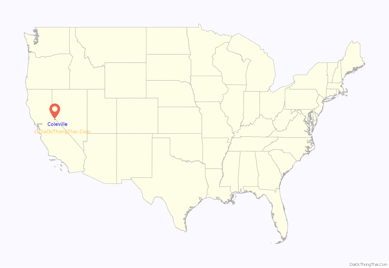
Coleville location map. Where is Coleville CDP?
History
The first post office at Coleville was established in 1868. The name honors Cornelius Cole, a United States senator. On June 1, 2007, the Larson fire threatened Coleville while burning 1,100 acres (450 ha) and causing US$3,000,000 damage.
Coleville is the hometown of General John Abizaid and the birthplace of trick shooter Lillian Smith.
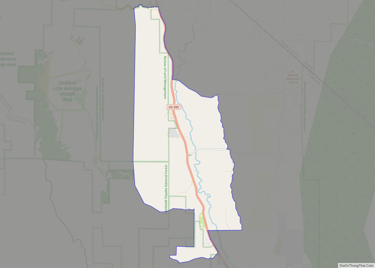
Coleville Road Map
Coleville city Satellite Map
Geography
Coleville is one of the three northernmost communities in Mono County. It is bordered to the north by Topaz and to the south by Walker. U.S. Route 395 passes through the town, leading north 46 miles (74 km) to Carson City, Nevada, and southeast 26 miles (42 km) to Bridgeport, the Mono county seat. According to the Mono County government, Antelope Valley, including Coleville, is expected to see significant population growth.
According to the United States Census Bureau, the CDP covers an area of 19.3 square miles (50 km), all land.
Climate
The region experiences warm (but not hot) and dry summers, with no average monthly temperatures above 71.6 °F (22.0 °C). According to the Köppen Climate Classification system, Coleville has a warm-summer Mediterranean climate, abbreviated “Csb” on climate maps.
See also
Map of California State and its subdivision:- Alameda
- Alpine
- Amador
- Butte
- Calaveras
- Colusa
- Contra Costa
- Del Norte
- El Dorado
- Fresno
- Glenn
- Humboldt
- Imperial
- Inyo
- Kern
- Kings
- Lake
- Lassen
- Los Angeles
- Madera
- Marin
- Mariposa
- Mendocino
- Merced
- Modoc
- Mono
- Monterey
- Napa
- Nevada
- Orange
- Placer
- Plumas
- Riverside
- Sacramento
- San Benito
- San Bernardino
- San Diego
- San Francisco
- San Joaquin
- San Luis Obispo
- San Mateo
- Santa Barbara
- Santa Clara
- Santa Cruz
- Shasta
- Sierra
- Siskiyou
- Solano
- Sonoma
- Stanislaus
- Sutter
- Tehama
- Trinity
- Tulare
- Tuolumne
- Ventura
- Yolo
- Yuba
- Alabama
- Alaska
- Arizona
- Arkansas
- California
- Colorado
- Connecticut
- Delaware
- District of Columbia
- Florida
- Georgia
- Hawaii
- Idaho
- Illinois
- Indiana
- Iowa
- Kansas
- Kentucky
- Louisiana
- Maine
- Maryland
- Massachusetts
- Michigan
- Minnesota
- Mississippi
- Missouri
- Montana
- Nebraska
- Nevada
- New Hampshire
- New Jersey
- New Mexico
- New York
- North Carolina
- North Dakota
- Ohio
- Oklahoma
- Oregon
- Pennsylvania
- Rhode Island
- South Carolina
- South Dakota
- Tennessee
- Texas
- Utah
- Vermont
- Virginia
- Washington
- West Virginia
- Wisconsin
- Wyoming
