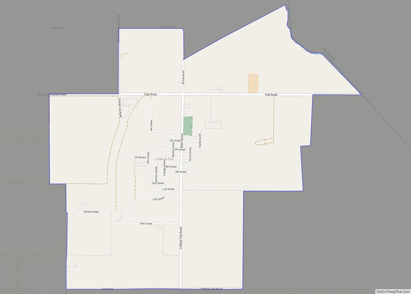
College City is a census-designated place in Colusa County, California. It lies at an elevation of 72 feet (22 m) above sea level. Its ZIP code is 95912, and its area code is 530. Its population was 290 at the 2010 census.
| Name: | College City CDP |
|---|---|
| LSAD Code: | 57 |
| LSAD Description: | CDP (suffix) |
| State: | California |
| County: | Colusa County |
| Elevation: | 72 ft (22 m) |
| Total Area: | 2.93 sq mi (7.60 km²) |
| Land Area: | 2.93 sq mi (7.60 km²) |
| Water Area: | 0.00 sq mi (0.00 km²) 0% |
| Total Population: | 292 |
| Population Density: | 99.52/sq mi (38.42/km²) |
| ZIP code: | 95912 |
| Area code: | 530 |
| FIPS code: | 0614554 |
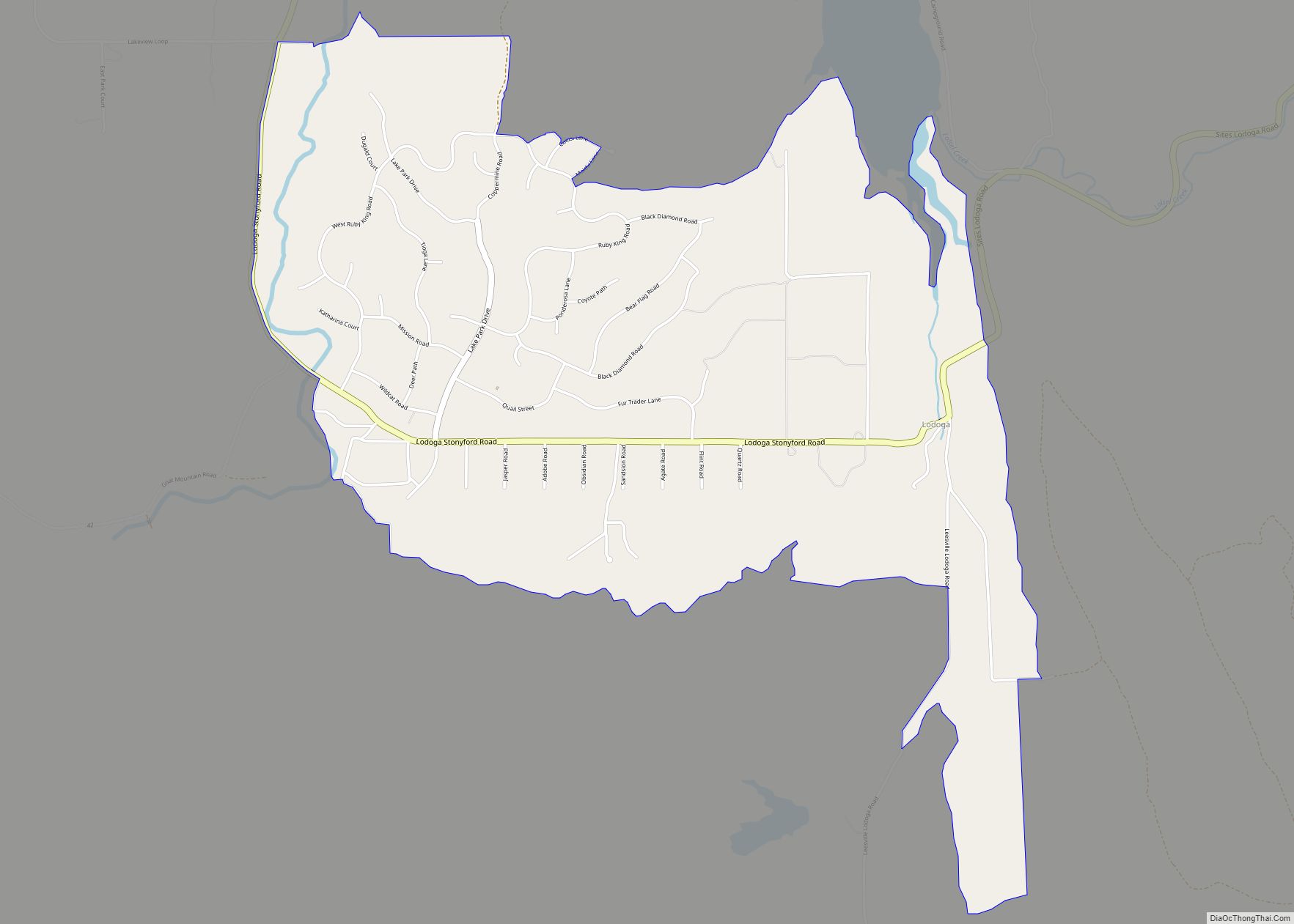
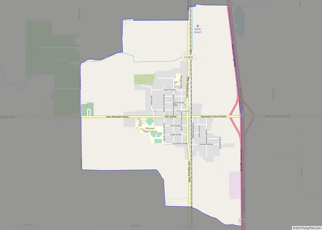
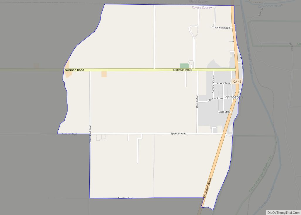
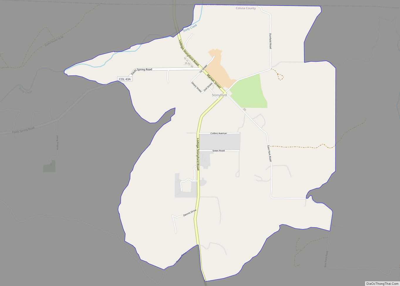
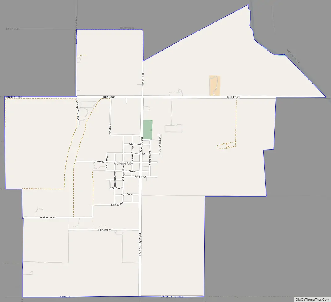
Online Interactive Map
Click on ![]() to view map in "full screen" mode.
to view map in "full screen" mode.
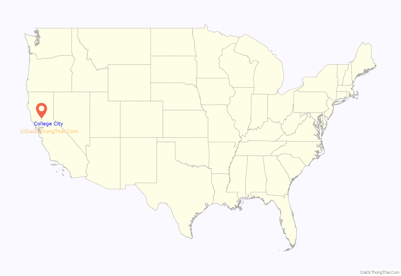
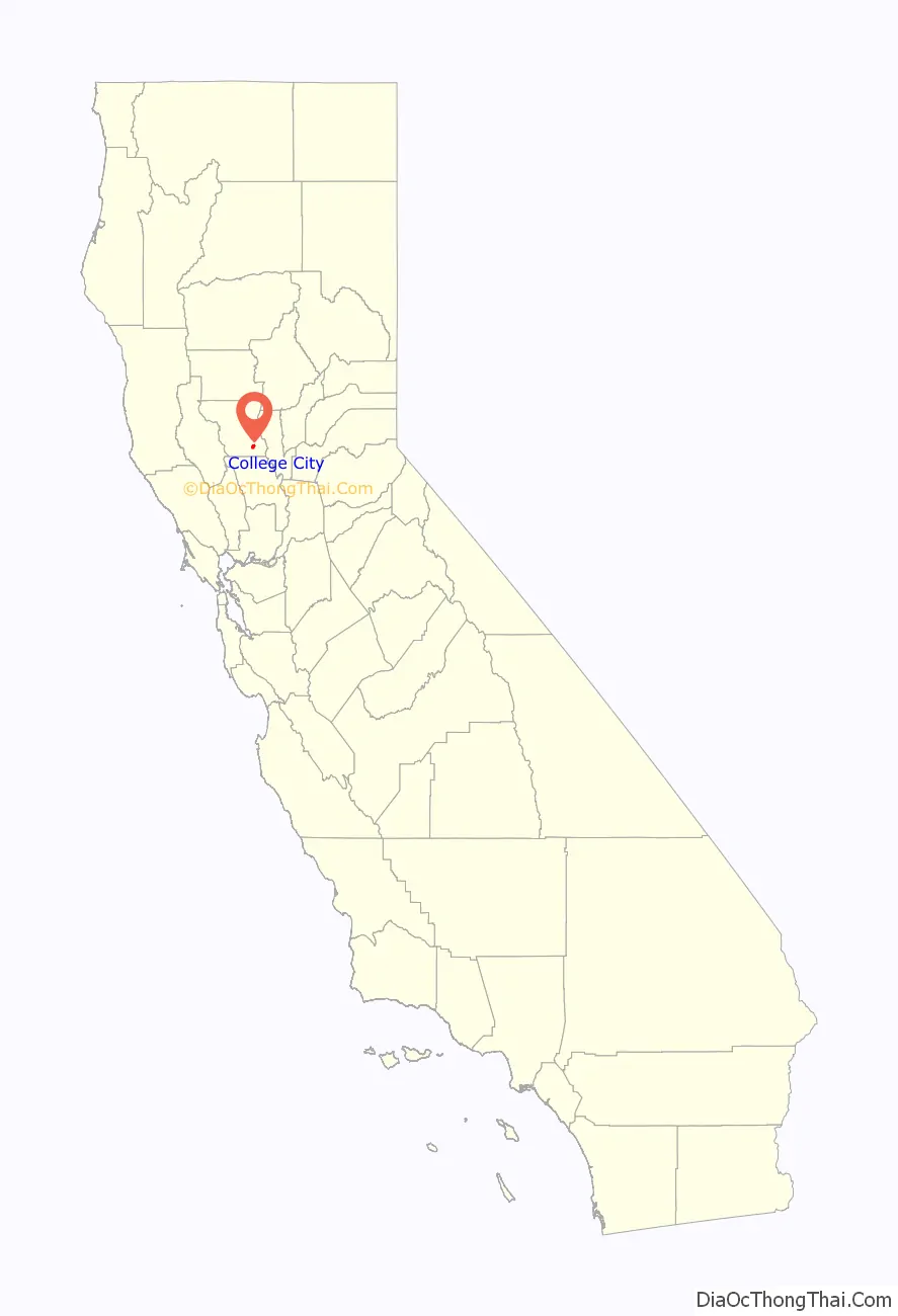
College City location map. Where is College City CDP?
History
The College City post office was established in 1873. Pierce Christian College located to the town on land willed to the college by Andrew Pierce in 1875; but it subsequently left in 1896, and its facilities were taken over by the local high school district (see https://www.hmdb.org/m.asp?m=41810). Currently, there is no college in College City.
College City Road Map
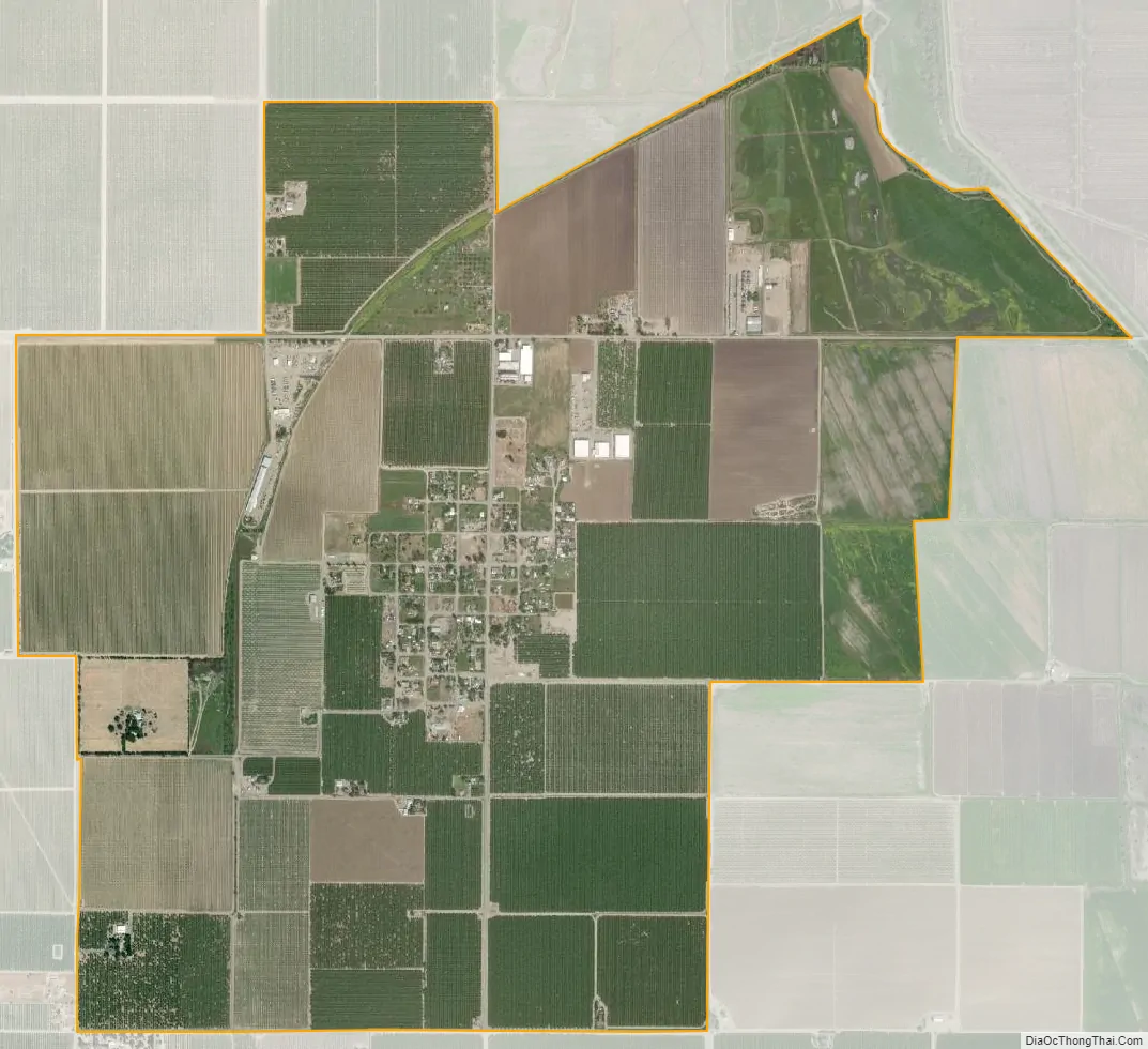
College City city Satellite Map
See also
Map of California State and its subdivision:- Alameda
- Alpine
- Amador
- Butte
- Calaveras
- Colusa
- Contra Costa
- Del Norte
- El Dorado
- Fresno
- Glenn
- Humboldt
- Imperial
- Inyo
- Kern
- Kings
- Lake
- Lassen
- Los Angeles
- Madera
- Marin
- Mariposa
- Mendocino
- Merced
- Modoc
- Mono
- Monterey
- Napa
- Nevada
- Orange
- Placer
- Plumas
- Riverside
- Sacramento
- San Benito
- San Bernardino
- San Diego
- San Francisco
- San Joaquin
- San Luis Obispo
- San Mateo
- Santa Barbara
- Santa Clara
- Santa Cruz
- Shasta
- Sierra
- Siskiyou
- Solano
- Sonoma
- Stanislaus
- Sutter
- Tehama
- Trinity
- Tulare
- Tuolumne
- Ventura
- Yolo
- Yuba
- Alabama
- Alaska
- Arizona
- Arkansas
- California
- Colorado
- Connecticut
- Delaware
- District of Columbia
- Florida
- Georgia
- Hawaii
- Idaho
- Illinois
- Indiana
- Iowa
- Kansas
- Kentucky
- Louisiana
- Maine
- Maryland
- Massachusetts
- Michigan
- Minnesota
- Mississippi
- Missouri
- Montana
- Nebraska
- Nevada
- New Hampshire
- New Jersey
- New Mexico
- New York
- North Carolina
- North Dakota
- Ohio
- Oklahoma
- Oregon
- Pennsylvania
- Rhode Island
- South Carolina
- South Dakota
- Tennessee
- Texas
- Utah
- Vermont
- Virginia
- Washington
- West Virginia
- Wisconsin
- Wyoming