Comptche (Pomo: Compatche, meaning “In the valley among the hills”) is an unincorporated community and census-designated place (CDP) in Mendocino County, California, United States. It is located 17 miles (27 km) southeast of Fort Bragg at an elevation of 187 feet (57 m). There is a K–3 primary school serving the town, as well as a small store with gas pump; a post office, and a church. The population was 167 at the 2020 census.
| Name: | Comptche CDP |
|---|---|
| LSAD Code: | 57 |
| LSAD Description: | CDP (suffix) |
| State: | California |
| County: | Mendocino County |
| Elevation: | 187 ft (57 m) |
| Total Area: | 1.15 sq mi (3.0 km²) |
| Land Area: | 1.15 sq mi (3.0 km²) |
| Water Area: | 0.00 sq mi (0.0 km²) 0% |
| Total Population: | 167 |
| Population Density: | 144.71/sq mi (55.87/km²) |
| ZIP code: | 95427 |
| Area code: | 707 |
| FIPS code: | 0615030 |
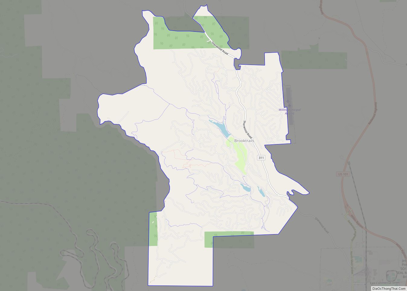
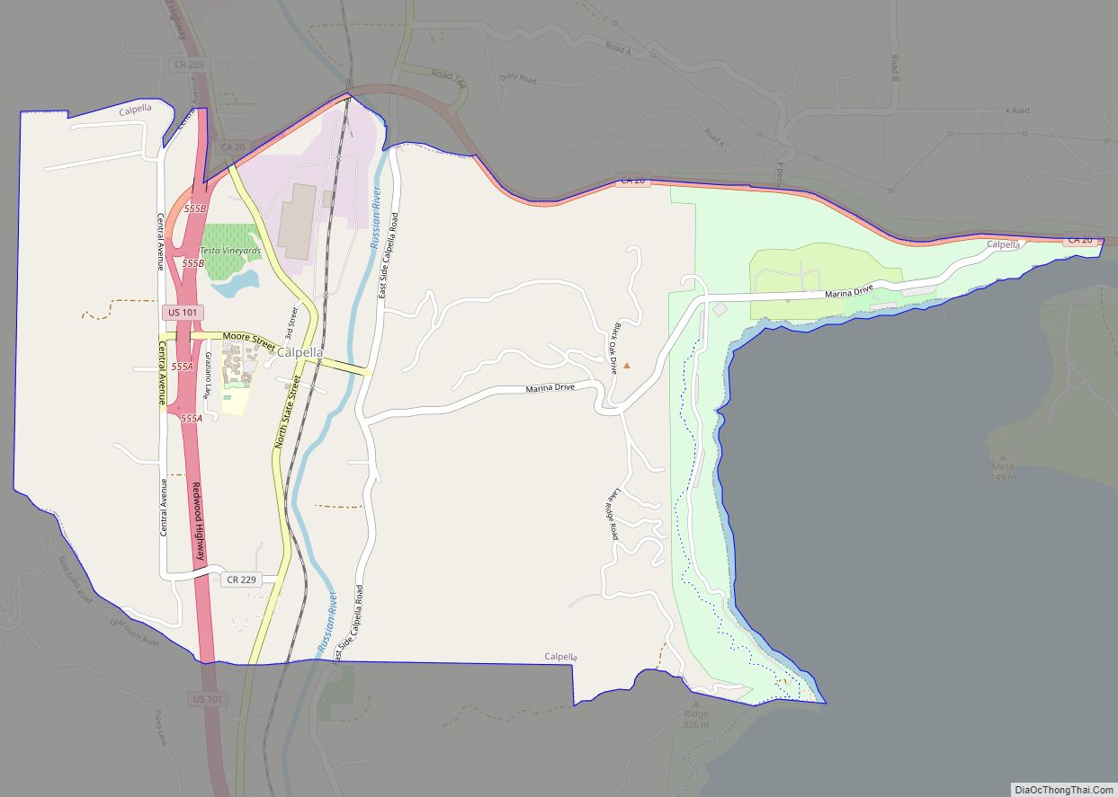
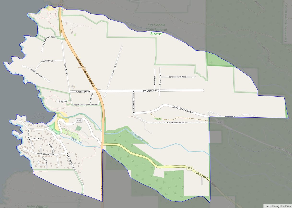
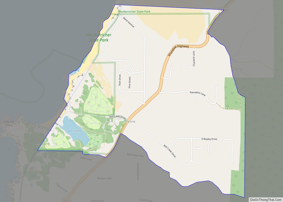
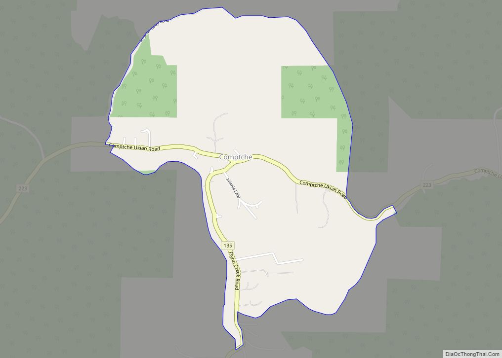
Online Interactive Map
Click on ![]() to view map in "full screen" mode.
to view map in "full screen" mode.
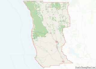
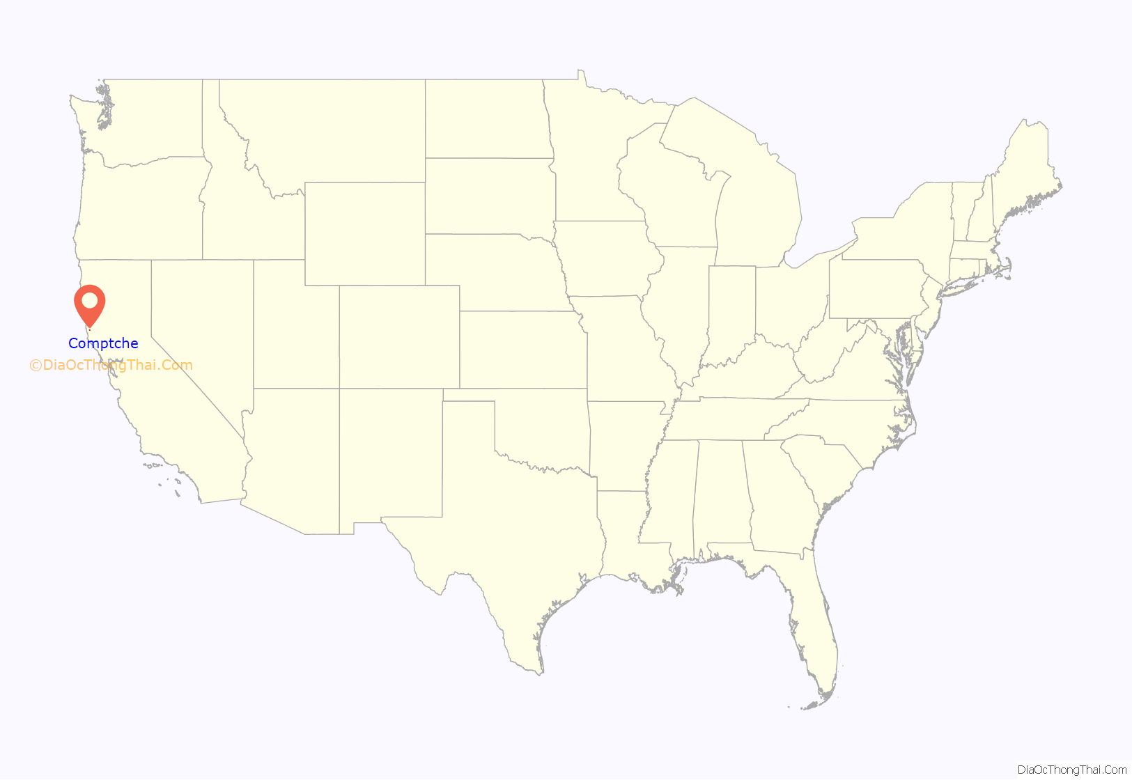
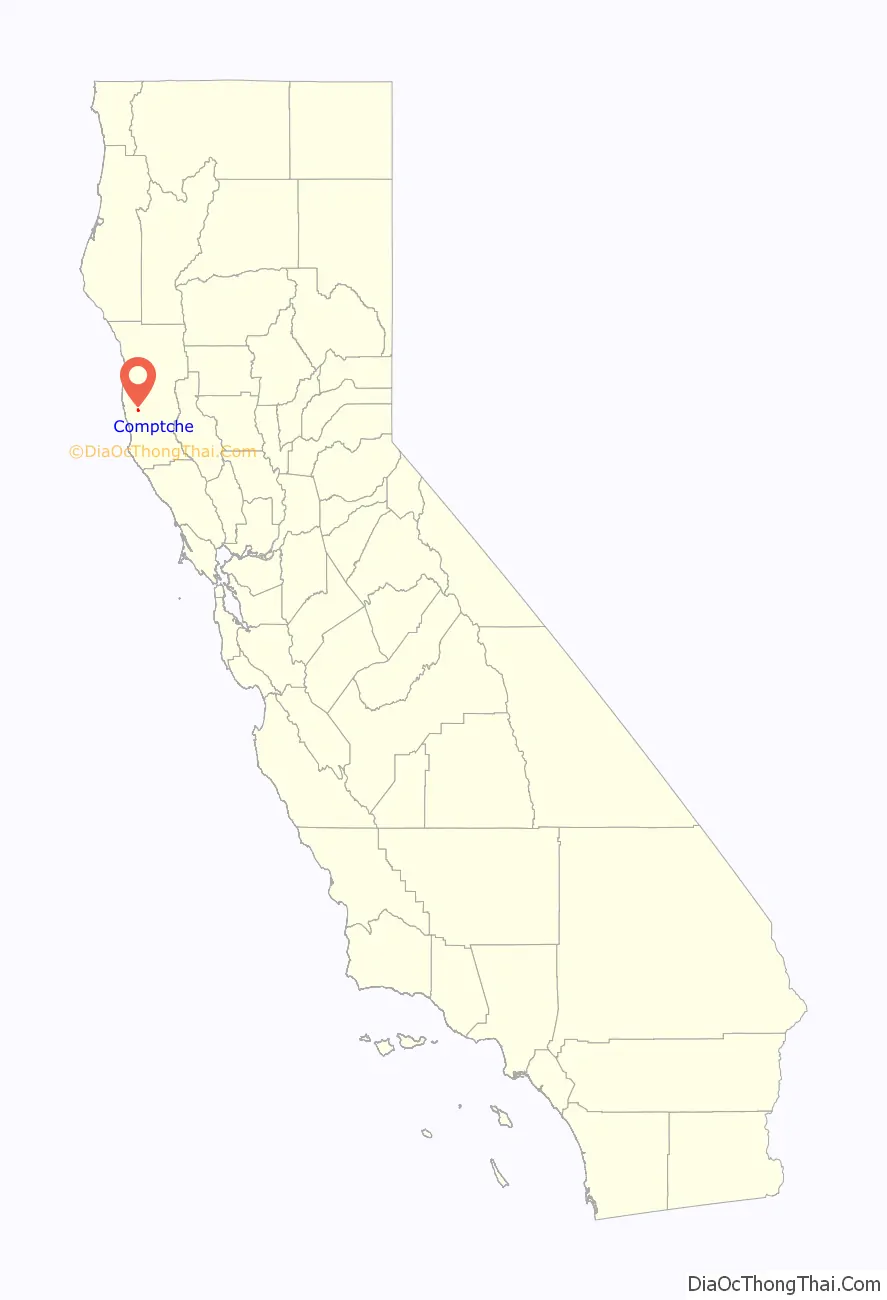
Comptche location map. Where is Comptche CDP?
History
The Comptche post office opened in 1877, closed later that same year, and reopened in 1879. Although the precise origin of the town’s name is unknown, there was a village of the Pomo people named Komacho nearby.
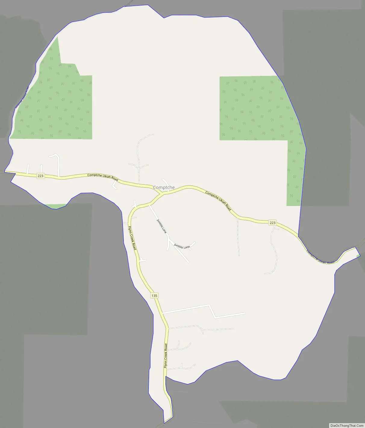
Comptche Road Map
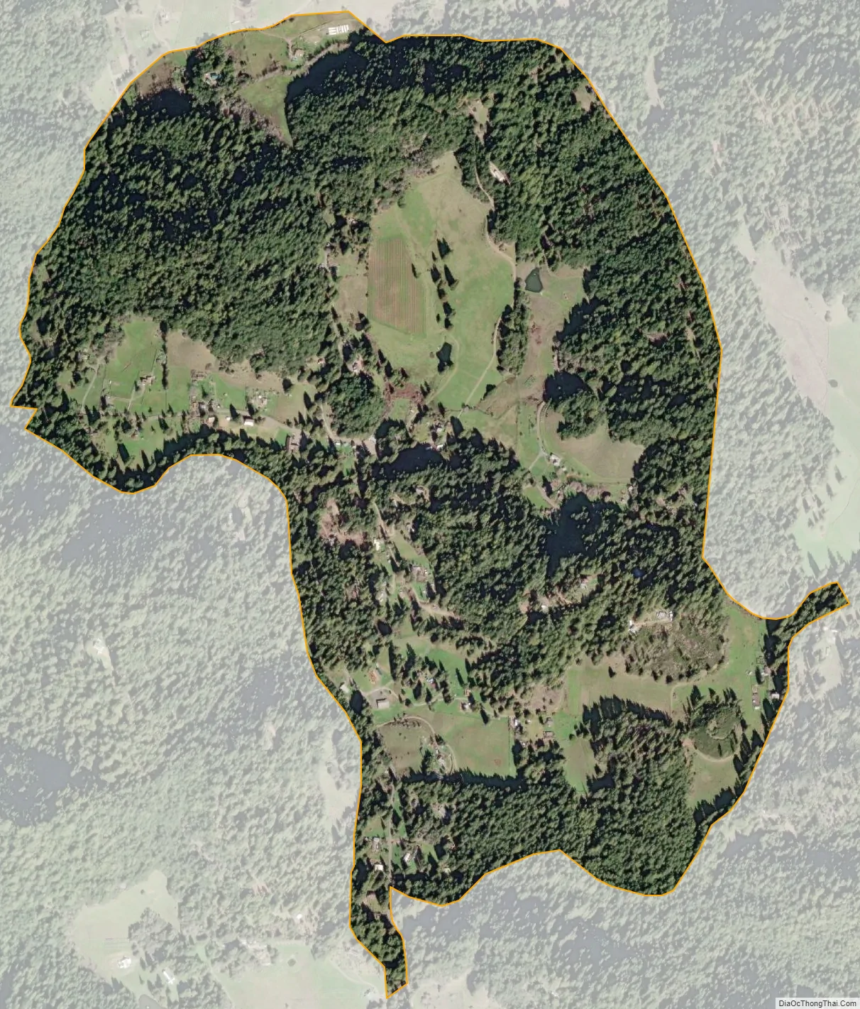
Comptche city Satellite Map
Geography
Comptche is located in west-central Mendocino County at 39°15′54″N 123°35′28″W / 39.26500°N 123.59111°W / 39.26500; -123.59111 (39.2648954, -123.5911224). It is in ZIP code 95427 and lies at the junction of three minor roads. Comptche–Ukiah Road extends west from Comptche 15 miles (24 km) to Mendocino on State Route 1, while to the east Orr Springs Road leads 30 miles (48 km) to Ukiah on U.S. 101 (passing through Montgomery Woods State Natural Reserve approximately halfway to Ukiah). Flynn Creek Road leads southward from Comptche 8 miles (13 km) to State Route 128 in Navarro River Redwoods State Park, near the town of Navarro. Flynn Creek Road and the western segment of Comptche–Ukiah Road provide an alternative route between Mendocino and the Anderson Valley, used in winter storms when the Navarro River floods Route 128.
According to the United States Census Bureau, the Comptche CDP covers an area of 1.2 square miles (3.1 km), all of it land. The Albion River runs along the southern edge of the community, flowing west to the Pacific Ocean at Albion.
See also
Map of California State and its subdivision:- Alameda
- Alpine
- Amador
- Butte
- Calaveras
- Colusa
- Contra Costa
- Del Norte
- El Dorado
- Fresno
- Glenn
- Humboldt
- Imperial
- Inyo
- Kern
- Kings
- Lake
- Lassen
- Los Angeles
- Madera
- Marin
- Mariposa
- Mendocino
- Merced
- Modoc
- Mono
- Monterey
- Napa
- Nevada
- Orange
- Placer
- Plumas
- Riverside
- Sacramento
- San Benito
- San Bernardino
- San Diego
- San Francisco
- San Joaquin
- San Luis Obispo
- San Mateo
- Santa Barbara
- Santa Clara
- Santa Cruz
- Shasta
- Sierra
- Siskiyou
- Solano
- Sonoma
- Stanislaus
- Sutter
- Tehama
- Trinity
- Tulare
- Tuolumne
- Ventura
- Yolo
- Yuba
- Alabama
- Alaska
- Arizona
- Arkansas
- California
- Colorado
- Connecticut
- Delaware
- District of Columbia
- Florida
- Georgia
- Hawaii
- Idaho
- Illinois
- Indiana
- Iowa
- Kansas
- Kentucky
- Louisiana
- Maine
- Maryland
- Massachusetts
- Michigan
- Minnesota
- Mississippi
- Missouri
- Montana
- Nebraska
- Nevada
- New Hampshire
- New Jersey
- New Mexico
- New York
- North Carolina
- North Dakota
- Ohio
- Oklahoma
- Oregon
- Pennsylvania
- Rhode Island
- South Carolina
- South Dakota
- Tennessee
- Texas
- Utah
- Vermont
- Virginia
- Washington
- West Virginia
- Wisconsin
- Wyoming