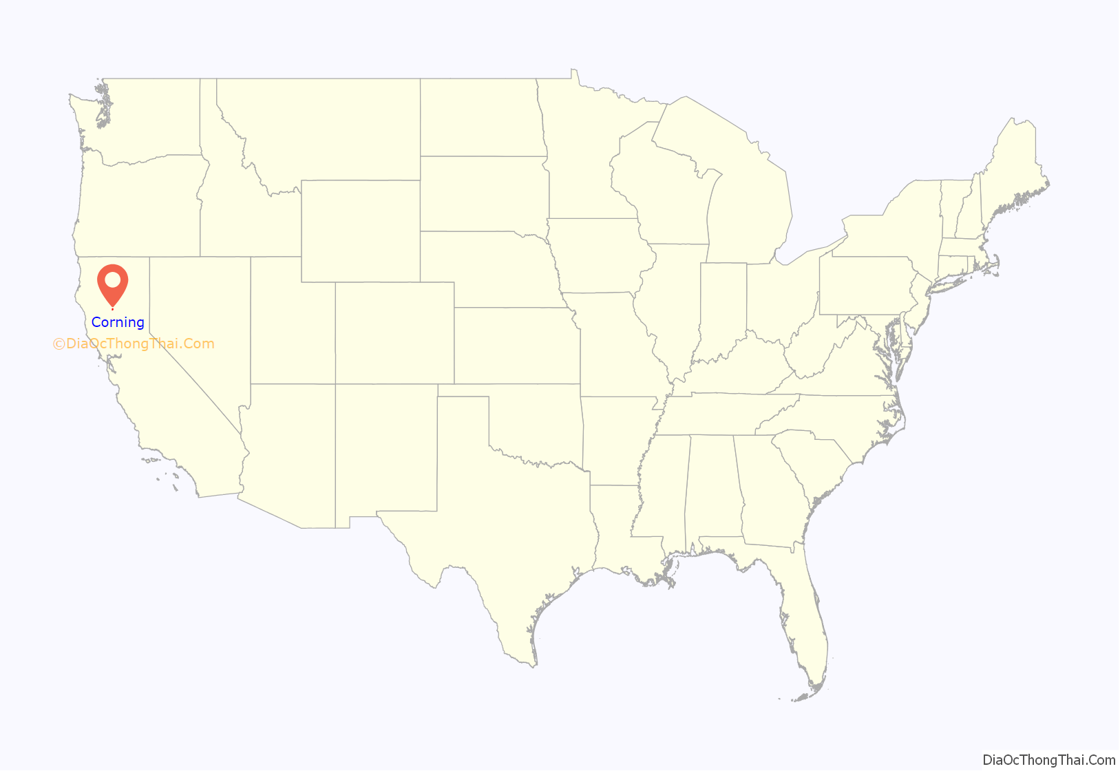
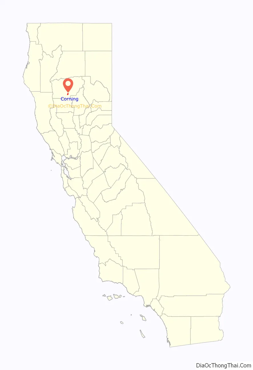
Corning is a city in Tehama County, California, that is located about 19 miles (31 km) south of Red Bluff and about 100 miles (160 km) north of Sacramento. The population was 8,244 at the 2020 census, up from 7,663 at the 2010 census.
| Name: | Corning city |
|---|---|
| LSAD Code: | 25 |
| LSAD Description: | city (suffix) |
| State: | California |
| County: | Tehama County |
| Incorporated: | August 6, 1907 |
| Elevation: | 276 ft (84 m) |
| Total Area: | 3.55 sq mi (9.19 km²) |
| Land Area: | 3.55 sq mi (9.19 km²) |
| Water Area: | 0.00 sq mi (0.00 km²) 0% |
| Total Population: | 8,244 |
| Population Density: | 2,324.22/sq mi (897.37/km²) |
| ZIP code: | 96021, 96029, (96092) |
| Area code: | 530 |
| FIPS code: | 0616322 |
| GNISfeature ID: | 0277491 |
| Website: | corning.org |
Online Interactive Map
Click on ![]() to view map in "full screen" mode.
to view map in "full screen" mode.
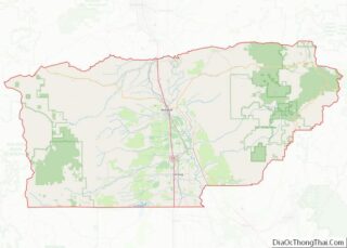
Corning location map. Where is Corning city?
History
Corning had its start in 1882, when the railroad was extended to that point. The community was named after John Corning, a railroad official.
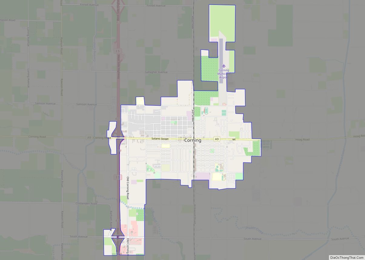
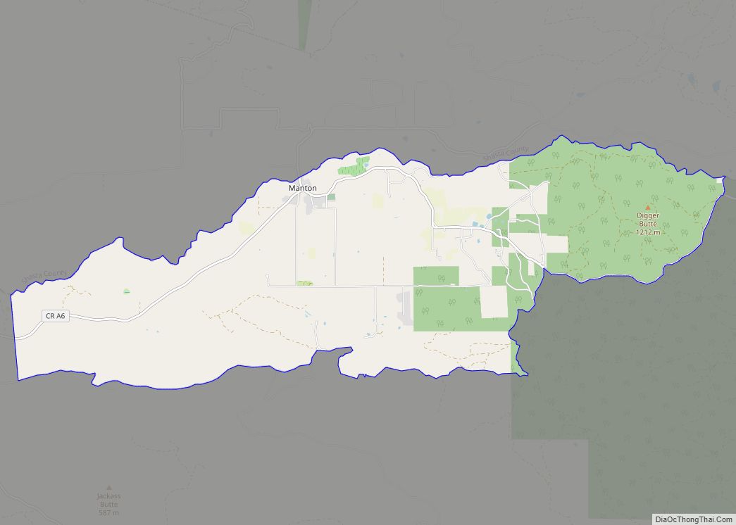
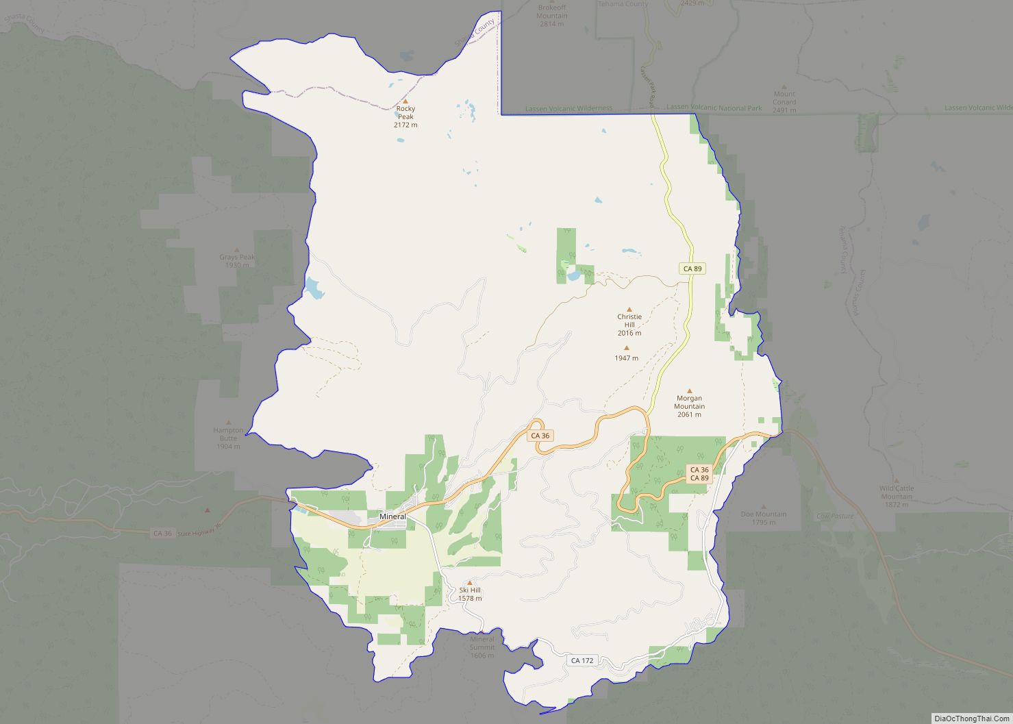
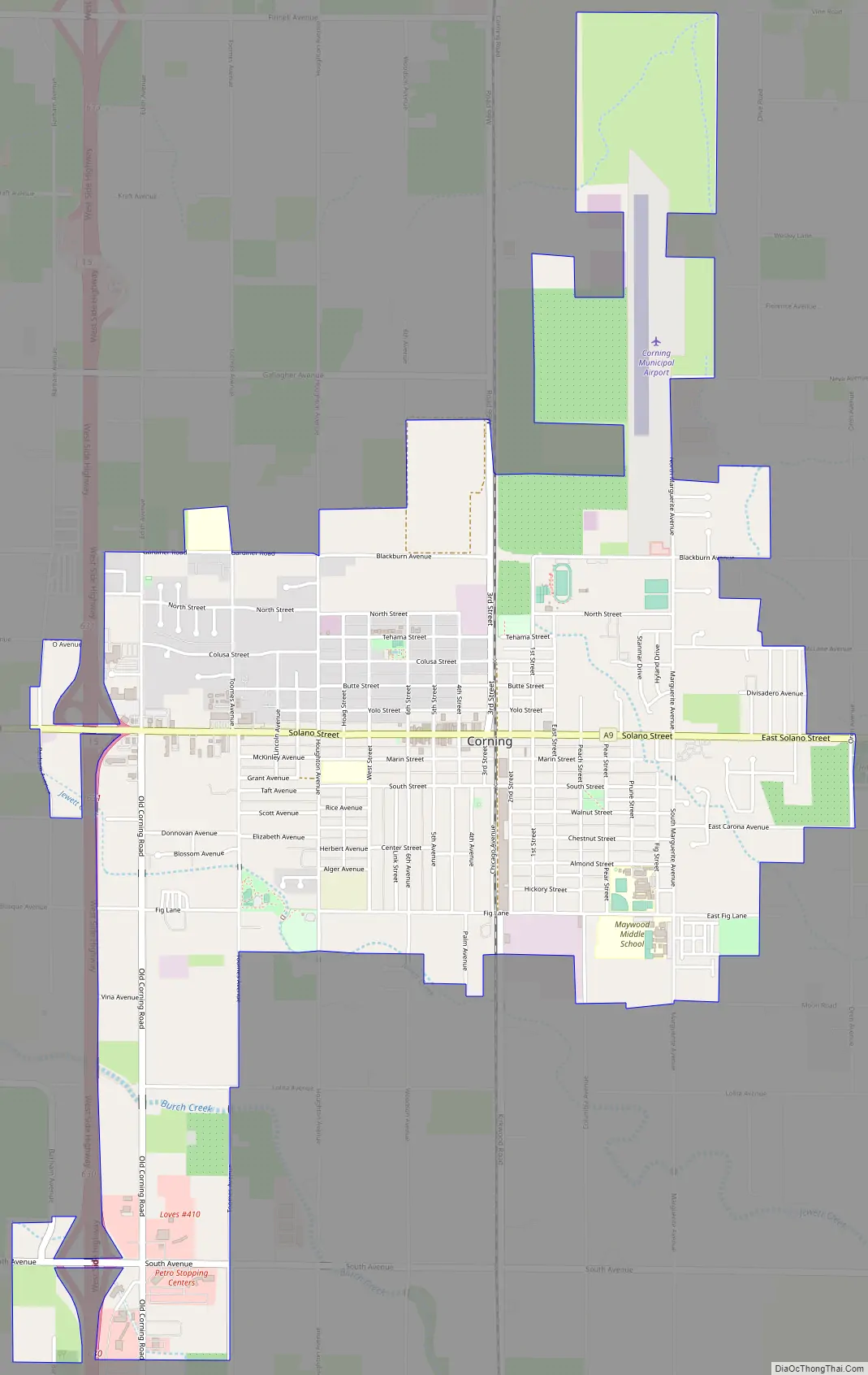
Corning Road Map
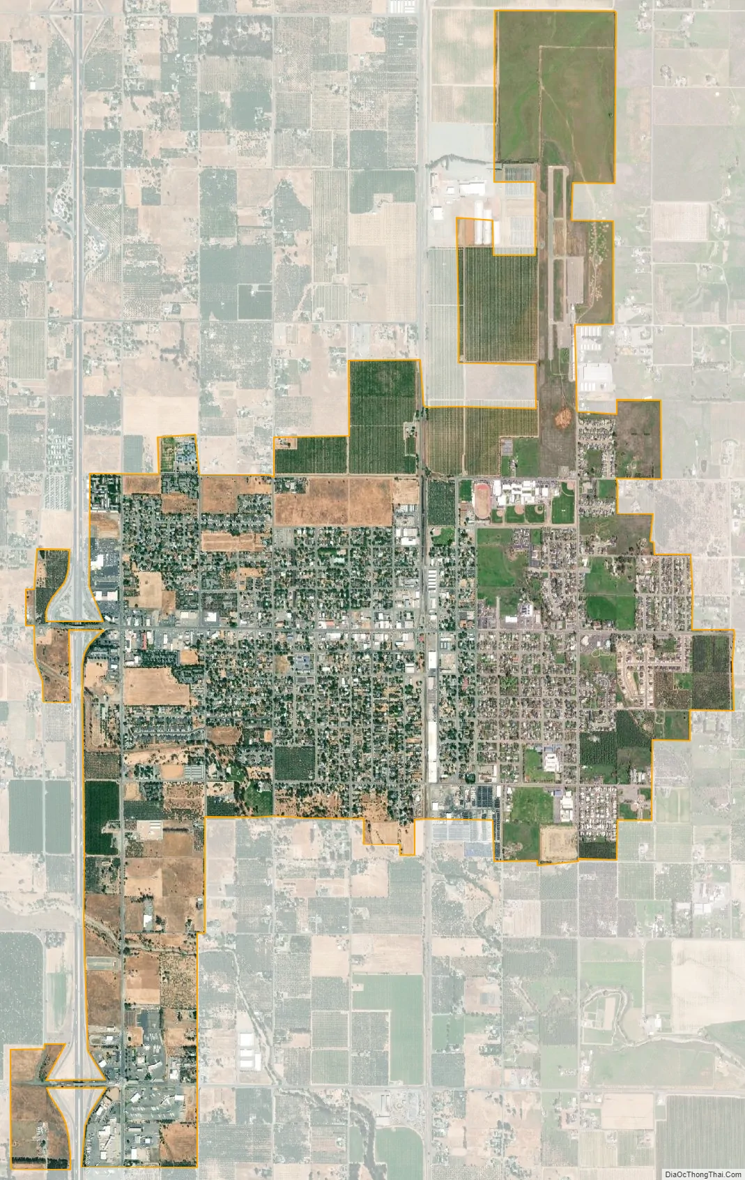
Corning city Satellite Map
Geography
Corning is located at 39°55′34″N 122°10′50″W / 39.92611°N 122.18056°W / 39.92611; -122.18056 (39.926182, -122.180489).
According to the United States Census Bureau, the city has a total area of 3.55 square miles (9.2 km), all of it land.
Climate
According to the Köppen Climate Classification system, Corning has a Hot-summer Mediterranean climate, abbreviated “Csa” on climate maps.
See also
Map of California State and its subdivision:- Alameda
- Alpine
- Amador
- Butte
- Calaveras
- Colusa
- Contra Costa
- Del Norte
- El Dorado
- Fresno
- Glenn
- Humboldt
- Imperial
- Inyo
- Kern
- Kings
- Lake
- Lassen
- Los Angeles
- Madera
- Marin
- Mariposa
- Mendocino
- Merced
- Modoc
- Mono
- Monterey
- Napa
- Nevada
- Orange
- Placer
- Plumas
- Riverside
- Sacramento
- San Benito
- San Bernardino
- San Diego
- San Francisco
- San Joaquin
- San Luis Obispo
- San Mateo
- Santa Barbara
- Santa Clara
- Santa Cruz
- Shasta
- Sierra
- Siskiyou
- Solano
- Sonoma
- Stanislaus
- Sutter
- Tehama
- Trinity
- Tulare
- Tuolumne
- Ventura
- Yolo
- Yuba
- Alabama
- Alaska
- Arizona
- Arkansas
- California
- Colorado
- Connecticut
- Delaware
- District of Columbia
- Florida
- Georgia
- Hawaii
- Idaho
- Illinois
- Indiana
- Iowa
- Kansas
- Kentucky
- Louisiana
- Maine
- Maryland
- Massachusetts
- Michigan
- Minnesota
- Mississippi
- Missouri
- Montana
- Nebraska
- Nevada
- New Hampshire
- New Jersey
- New Mexico
- New York
- North Carolina
- North Dakota
- Ohio
- Oklahoma
- Oregon
- Pennsylvania
- Rhode Island
- South Carolina
- South Dakota
- Tennessee
- Texas
- Utah
- Vermont
- Virginia
- Washington
- West Virginia
- Wisconsin
- Wyoming