Crescent Mills (formerly, Crescent City and Crescent) is a census-designated place (CDP) in Plumas County, California, United States. Crescent Mills is located 3.5 miles (5.6 km) southeast of Greenville. The population was 196 at the 2010 census, down from 258 at the 2000 census.
| Name: | Crescent Mills CDP |
|---|---|
| LSAD Code: | 57 |
| LSAD Description: | CDP (suffix) |
| State: | California |
| County: | Plumas County |
| Elevation: | 3,527 ft (1,075 m) |
| Total Area: | 4.24 sq mi (10.99 km²) |
| Land Area: | 4.24 sq mi (10.99 km²) |
| Water Area: | 0.00 sq mi (0.00 km²) 0% |
| Total Population: | 206 |
| Population Density: | 48.56/sq mi (18.75/km²) |
| ZIP code: | 95934 |
| Area code: | 530 |
| FIPS code: | 0617050 |
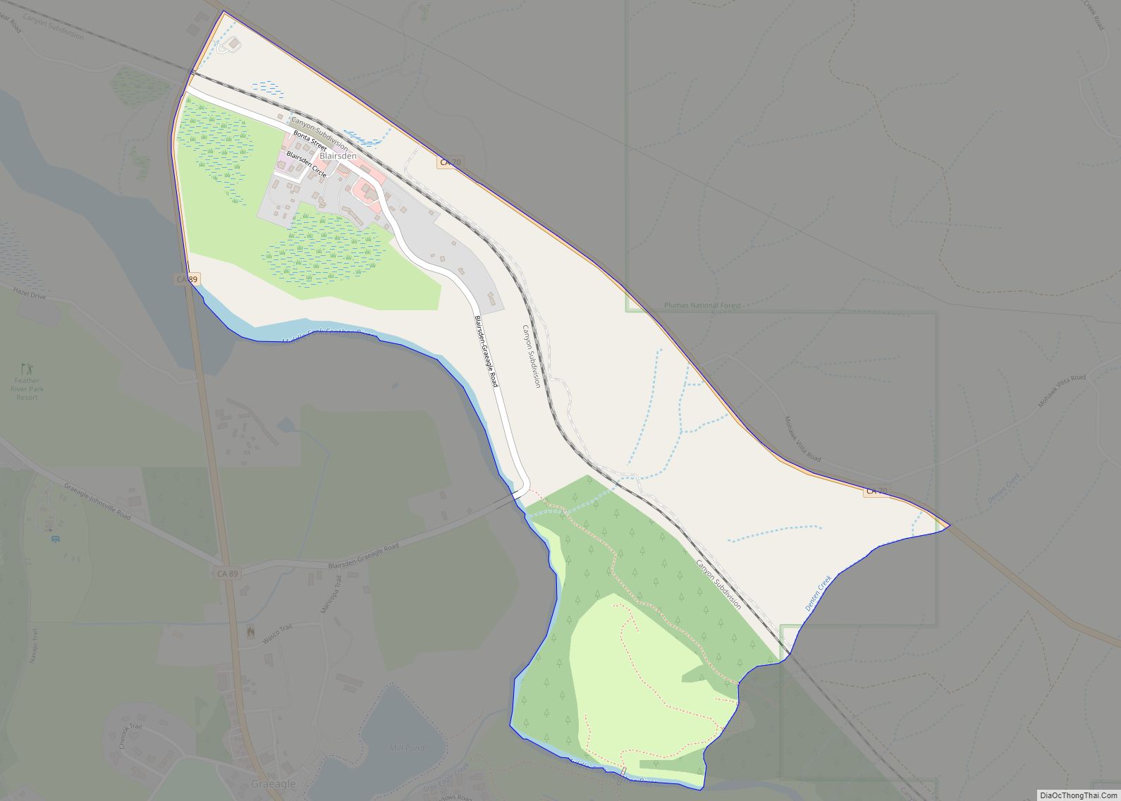
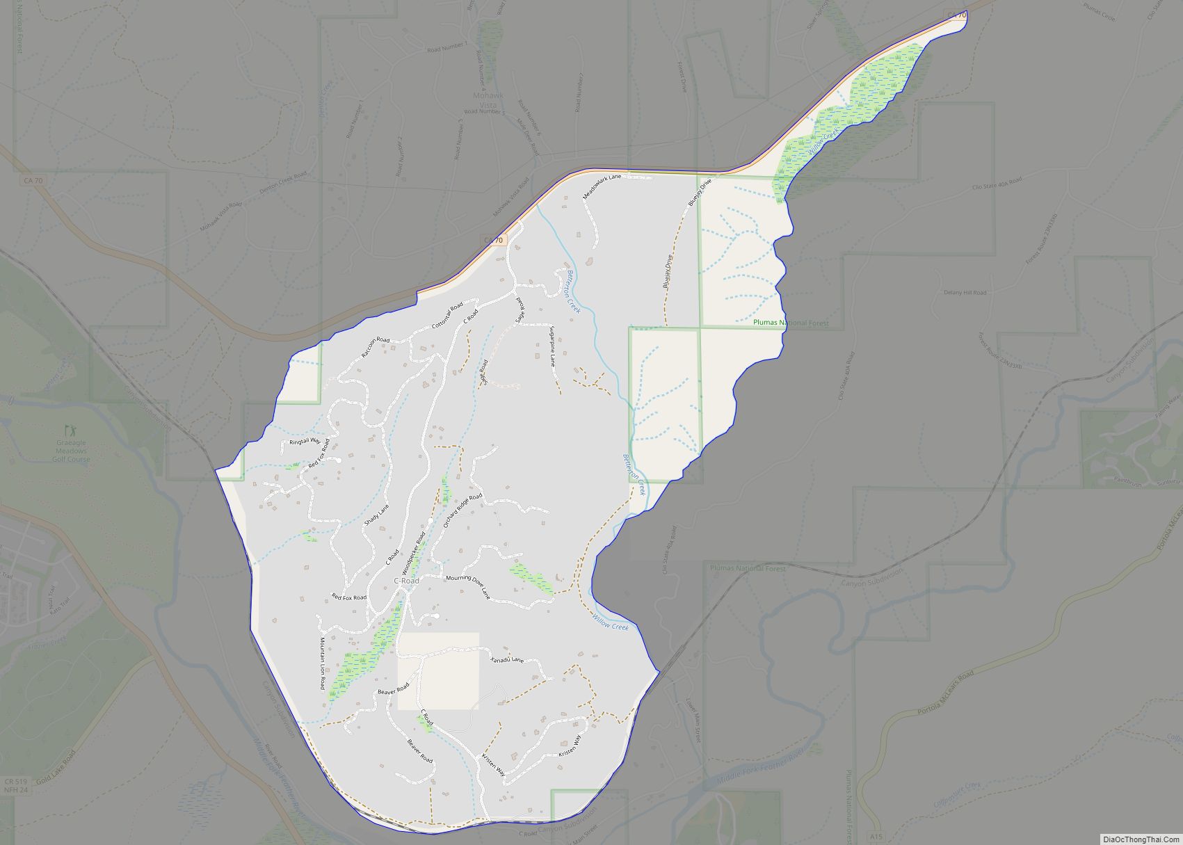
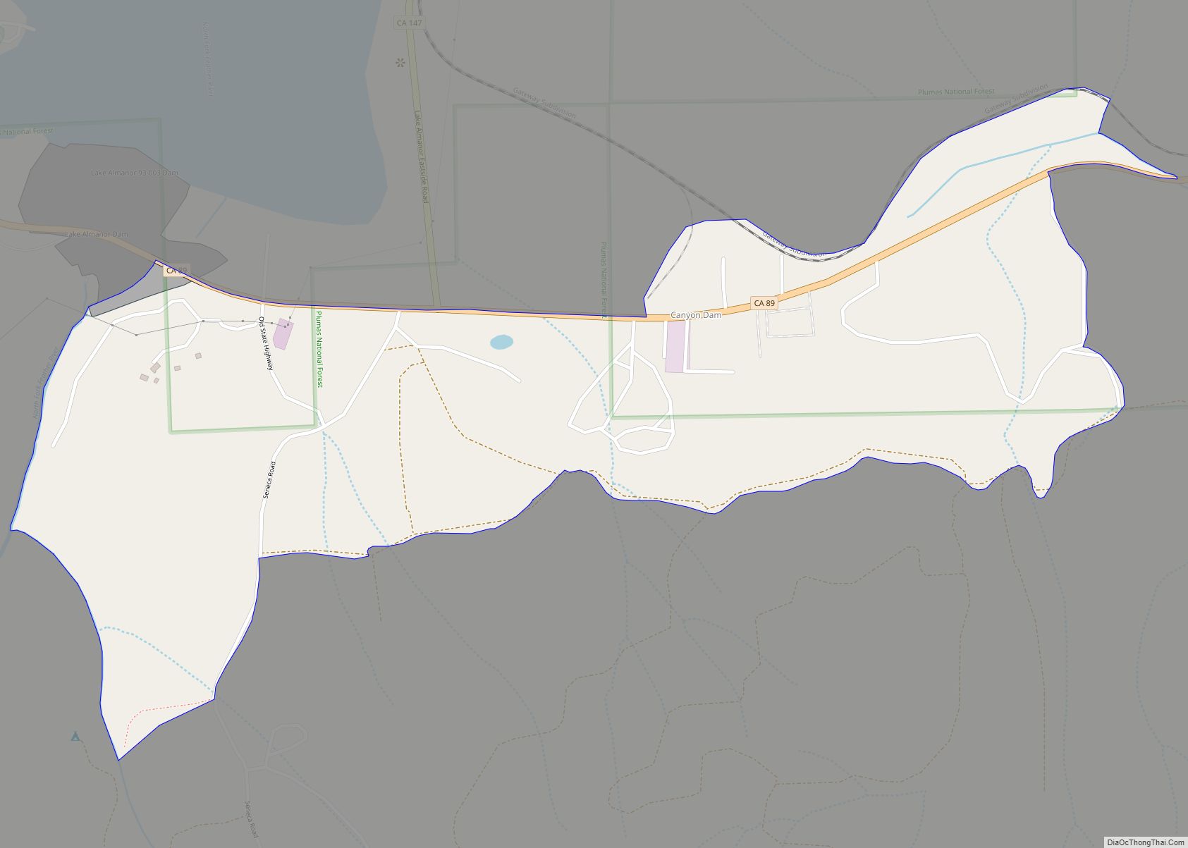
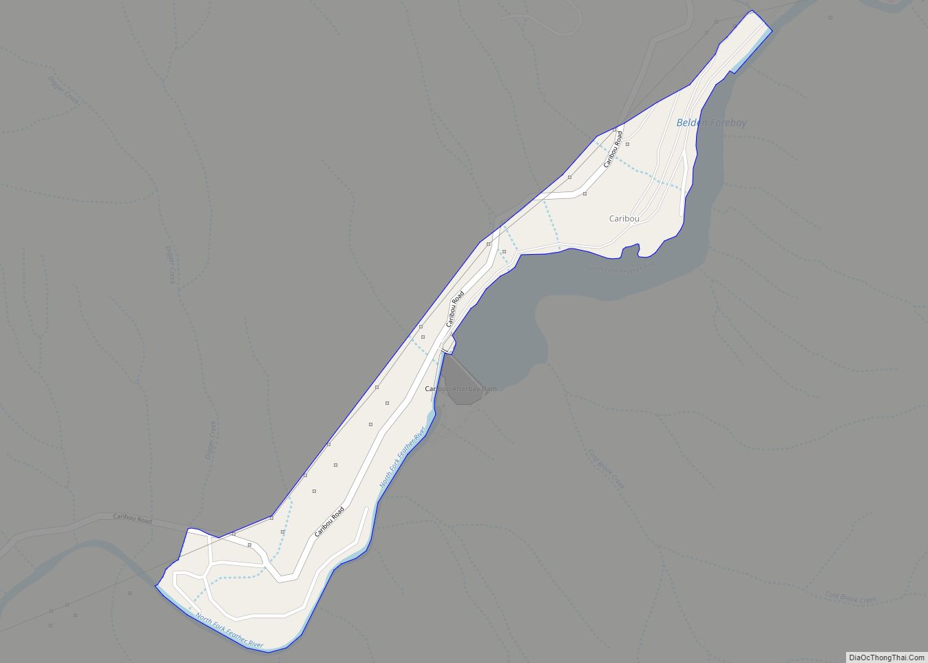
Online Interactive Map
Click on ![]() to view map in "full screen" mode.
to view map in "full screen" mode.
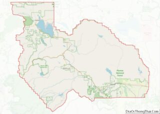
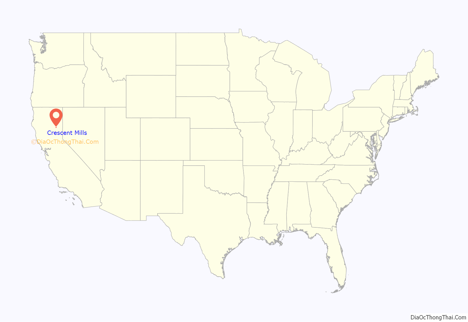
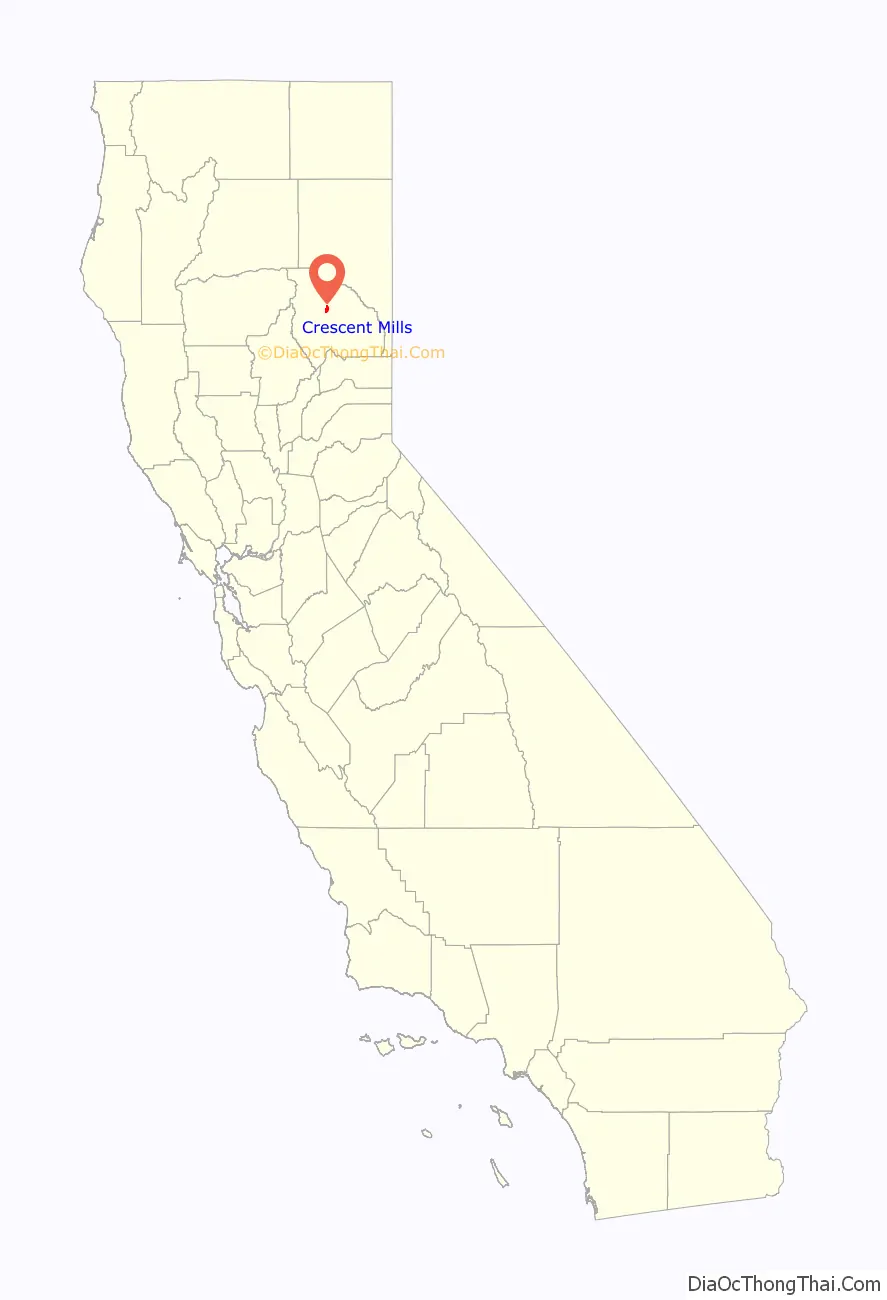
Crescent Mills location map. Where is Crescent Mills CDP?
History
In 1821 Mary A Zubea was born. Four years later Frank Joseph Stampfli was born. When these two became adults they married. Frank Joseph Stampfli was born in Switzerland and immigrated to the United States. He then registered to pioneer out West where the Stampfli family settled in what is known today as Crescent Mills, CA and Indian Valley.
In 1867 Mary A Stampfli died and was buried on the Stampfli Ranch creating the family cemetery. A tall headstone marked Mary A. Stampfli 1821-1867 was placed above her grave. Lewis Stampfli followed in 1869 and Frank joined his wife in the family cemetery in 1892.
The local Native Americans of the Maui do and the Stampfli family had made relationships. Relationships between the Maui do and the Stampfli’s included local organizations such as the Indian Mission and marriage. Stampfli’s also married with the Peck family.
In 1915 Albert Riehl came to Plumas County and settled in Indian Valley. After meeting Vivian Stampfli they were married and took up residence in Crescent Mills. Albert went on to own the local slaughter house on the North end of town and a butcher shop 4 doors south of the current Gigis Market. The second generation of Stampfli’s and Peck’s continued to branch out with other families that had settled within the area as well. In the early 1930s Pearl Peck moved away from the Stampfli Ranch and moved to San Francisco where she met and married David “Bud” Strong, an owner of a large nursery garden. They had two boys, David Strong Jr. and younger brother Deryl Glen Strong. Within a year after Deryl was born Pearl became home sick and asked her family to move back to Crescent Mills where Bud Strong Purchased the Stampfli Ranch.
The Stampfli Ranch covered the west side of Main Street up the mountainside then out to the east into a large flat valley named Indian Valley. The corner of Stampfli Lane and Main Street marks the middle of the Ranch.
Crescent Mills post office opened in 1870.
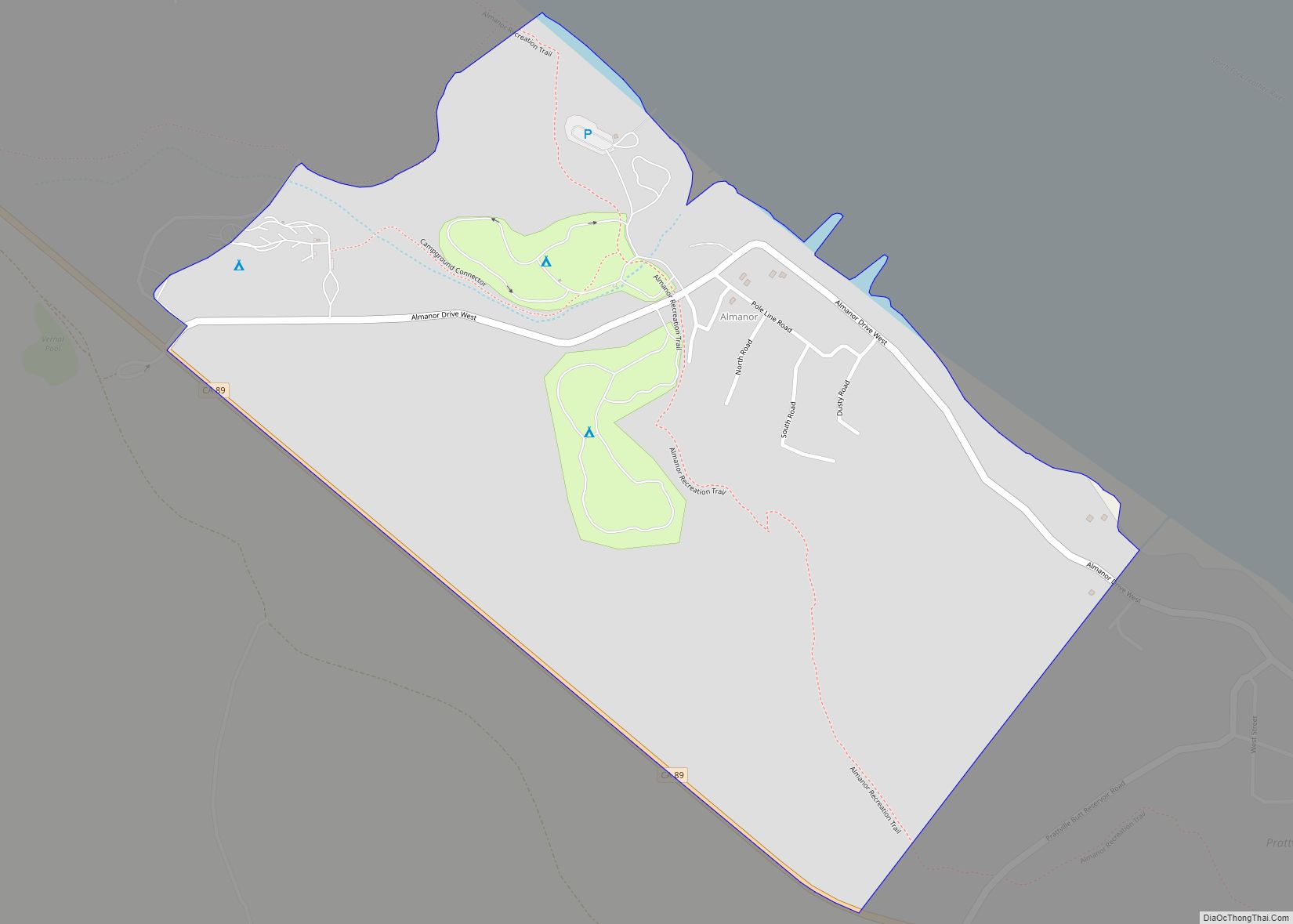
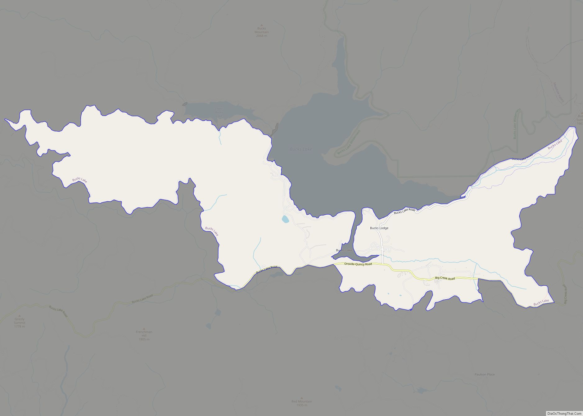
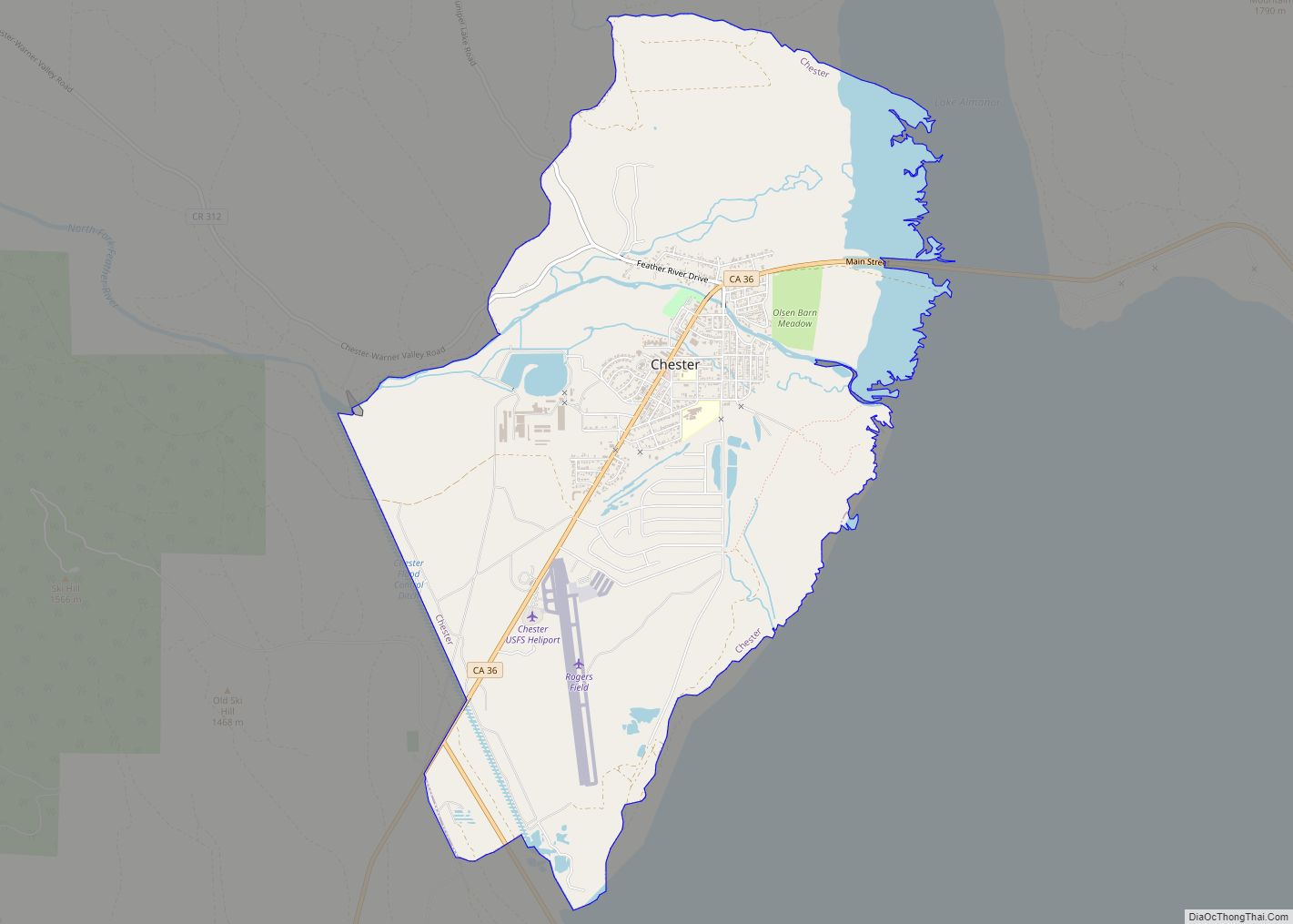
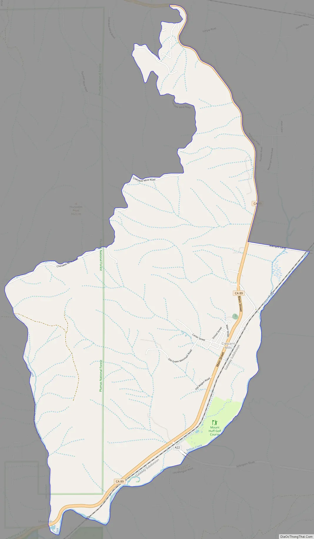
Crescent Mills Road Map
Crescent Mills city Satellite Map
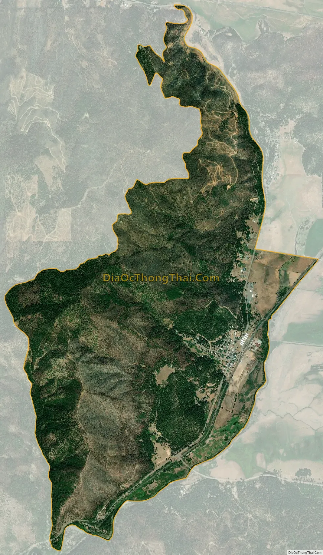
Geography
Crescent Mills is located at 40°5′47″N 120°54′46″W / 40.09639°N 120.91278°W / 40.09639; -120.91278 (40.096329, -120.912872).
According to the United States Census Bureau, the CDP has a total area of 4.2 square miles (11 km), all of it land.
See also
Map of California State and its subdivision:- Alameda
- Alpine
- Amador
- Butte
- Calaveras
- Colusa
- Contra Costa
- Del Norte
- El Dorado
- Fresno
- Glenn
- Humboldt
- Imperial
- Inyo
- Kern
- Kings
- Lake
- Lassen
- Los Angeles
- Madera
- Marin
- Mariposa
- Mendocino
- Merced
- Modoc
- Mono
- Monterey
- Napa
- Nevada
- Orange
- Placer
- Plumas
- Riverside
- Sacramento
- San Benito
- San Bernardino
- San Diego
- San Francisco
- San Joaquin
- San Luis Obispo
- San Mateo
- Santa Barbara
- Santa Clara
- Santa Cruz
- Shasta
- Sierra
- Siskiyou
- Solano
- Sonoma
- Stanislaus
- Sutter
- Tehama
- Trinity
- Tulare
- Tuolumne
- Ventura
- Yolo
- Yuba
- Alabama
- Alaska
- Arizona
- Arkansas
- California
- Colorado
- Connecticut
- Delaware
- District of Columbia
- Florida
- Georgia
- Hawaii
- Idaho
- Illinois
- Indiana
- Iowa
- Kansas
- Kentucky
- Louisiana
- Maine
- Maryland
- Massachusetts
- Michigan
- Minnesota
- Mississippi
- Missouri
- Montana
- Nebraska
- Nevada
- New Hampshire
- New Jersey
- New Mexico
- New York
- North Carolina
- North Dakota
- Ohio
- Oklahoma
- Oregon
- Pennsylvania
- Rhode Island
- South Carolina
- South Dakota
- Tennessee
- Texas
- Utah
- Vermont
- Virginia
- Washington
- West Virginia
- Wisconsin
- Wyoming