Cudahy (/ˈkʌdəheɪ/ KUD-ə-hay) is a city located in southeastern Los Angeles County, California, United States. In area, Cudahy is the second smallest city in Los Angeles County after Hawaiian Gardens but with one of the highest population densities of any incorporated city in the United States. It is part of the Gateway Cities region and had a population of 23,805 as of the 2010 U.S. Census.
| Name: | Cudahy city |
|---|---|
| LSAD Code: | 25 |
| LSAD Description: | city (suffix) |
| State: | California |
| County: | Los Angeles County |
| Incorporated: | November 10, 1960 |
| Elevation: | 121 ft (37 m) |
| Total Area: | 1.23 sq mi (3.18 km²) |
| Land Area: | 1.18 sq mi (3.05 km²) |
| Water Area: | 0.05 sq mi (0.13 km²) 4.15% |
| Total Population: | 22,811 |
| Population Density: | 19,397.11/sq mi (7,487.73/km²) |
| ZIP code: | 90201 |
| Area code: | 213/323 |
| FIPS code: | 0617498 |
| GNISfeature ID: | 1652694 |
| Website: | www.cityofcudahy.com |
Online Interactive Map
Click on ![]() to view map in "full screen" mode.
to view map in "full screen" mode.
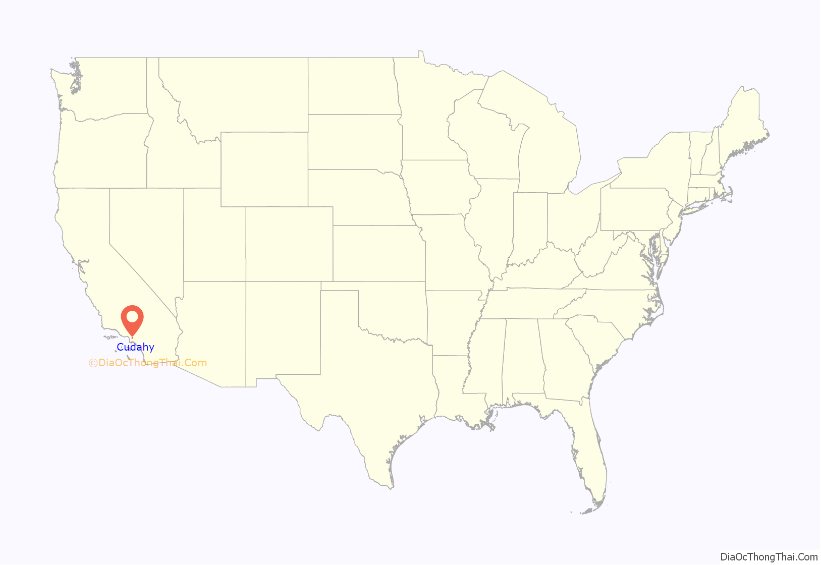
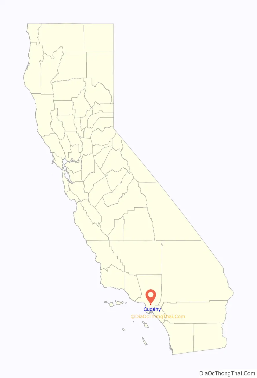
Cudahy location map. Where is Cudahy city?
History
Cudahy is named for its founder, meat-packing baron Michael Cudahy, who purchased the original 2,777 acres (11.2 km) of Rancho San Antonio in 1908 to resell as 1-acre (4,000 m) lots. These “Cudahy lots” were notable for their size—in most cases, 50 to 100 feet (15 to 30 m) in width and 600 to 800 feet (183 to 244 m) in depth, at least equivalent to a city block in most American towns. Such parcels, often referred to as “railroad lots”, were intended to allow the new town’s residents to keep a large vegetable garden, a grove of fruit trees (usually citrus), and a chicken coop or horse stable. This arrangement, popular in the towns along the lower Los Angeles and San Gabriel rivers, proved particularly attractive to the Southerners and Midwesterners who were leaving their struggling farms in droves in the 1910s and 1920s to start new lives in Southern California.
Sam Quinones of the Los Angeles Times said that the large, narrow parcels of land gave Cudahy Acres a “rural feel in an increasingly urban swath.” As late as the 1950s, some Cudahy residents were still riding into the city’s downtown areas on horseback. After World War II the city was a White American blue collar town with steel and automobile plants in the area.
By the late 1970s, the factories closed down and the white residents of Cudahy left for jobs and housing in the San Gabriel and San Fernando Valleys. Stucco apartment complexes were built on former tracts of land. The population density increased; in 2007 the city was the second-densest in California, after Maywood.
The city was subjected to a major political corruption incident when the former mayor and the one-time city manager were indicted on bribery and extortion charges for supporting the opening of a medical marijuana dispensary. As a result of these charges, on July 12, 2012, ex-mayor David Silva, councilman Osvaldo Conde, and former City Manager Angel Perales, 43, each pleaded guilty to one count of bribery and extortion; according to plea agreements they each face up to 30 years in prison.
On January 14, 2020, Delta Air Lines Flight 89 dumped jet fuel onto Cudahy, while making an emergency landing at Los Angeles International Airport. Park Avenue Elementary School suffered the brunt of this dumping. This incident sparked outrage because of the city’s previous history of environmental damage, including the construction of the same school on top of an old dump site that contained contaminated soil with toxic sludge, and pollution from the Exide battery plant. The mayor, Elizabeth Alcantar, pushed for better compensation from Delta for the impact on residents and the city.
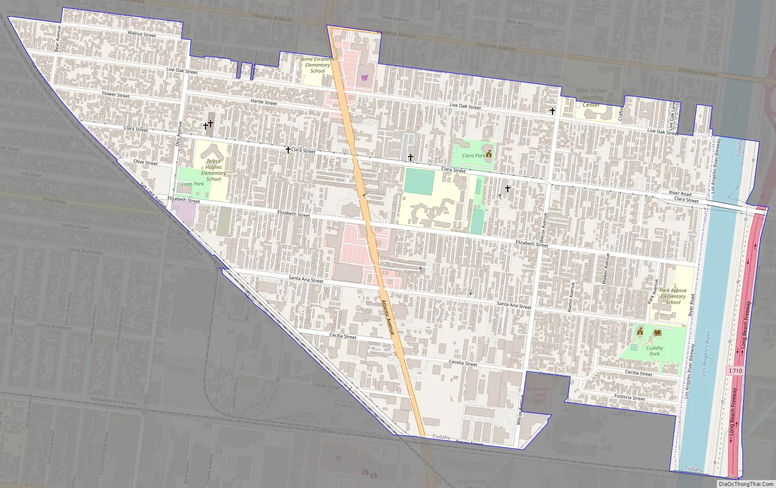
Cudahy Road Map
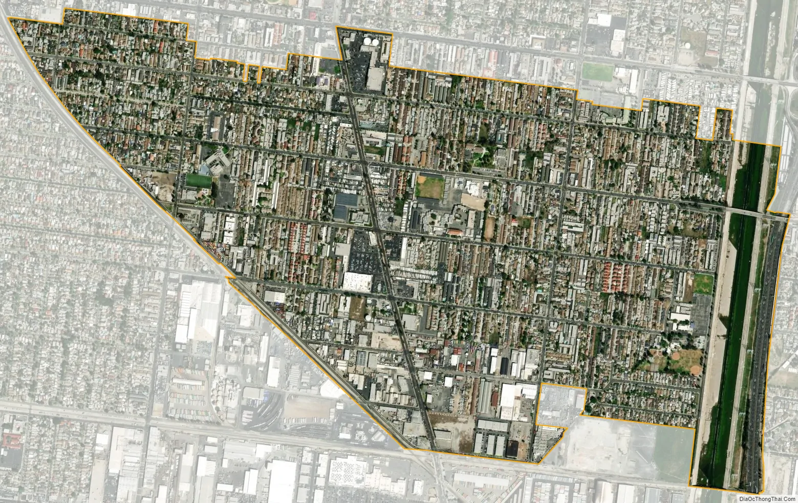
Cudahy city Satellite Map
Geography
Cudahy is located at 33°57′51″N 118°10′57″W / 33.964214°N 118.182575°W / 33.964214; -118.182575.
According to the United States Census Bureau, the city has a total area of 3.175 square kilometers (1.226 sq mi), over 95% of it land.
Cudahy is bordered by Bell on the north, Bell Gardens on the east, South Gate on the south and southwest, and Huntington Park on the west.
In 2007, of the 5,800 housing units, 5,000 were rentals.
See also
Map of California State and its subdivision:- Alameda
- Alpine
- Amador
- Butte
- Calaveras
- Colusa
- Contra Costa
- Del Norte
- El Dorado
- Fresno
- Glenn
- Humboldt
- Imperial
- Inyo
- Kern
- Kings
- Lake
- Lassen
- Los Angeles
- Madera
- Marin
- Mariposa
- Mendocino
- Merced
- Modoc
- Mono
- Monterey
- Napa
- Nevada
- Orange
- Placer
- Plumas
- Riverside
- Sacramento
- San Benito
- San Bernardino
- San Diego
- San Francisco
- San Joaquin
- San Luis Obispo
- San Mateo
- Santa Barbara
- Santa Clara
- Santa Cruz
- Shasta
- Sierra
- Siskiyou
- Solano
- Sonoma
- Stanislaus
- Sutter
- Tehama
- Trinity
- Tulare
- Tuolumne
- Ventura
- Yolo
- Yuba
- Alabama
- Alaska
- Arizona
- Arkansas
- California
- Colorado
- Connecticut
- Delaware
- District of Columbia
- Florida
- Georgia
- Hawaii
- Idaho
- Illinois
- Indiana
- Iowa
- Kansas
- Kentucky
- Louisiana
- Maine
- Maryland
- Massachusetts
- Michigan
- Minnesota
- Mississippi
- Missouri
- Montana
- Nebraska
- Nevada
- New Hampshire
- New Jersey
- New Mexico
- New York
- North Carolina
- North Dakota
- Ohio
- Oklahoma
- Oregon
- Pennsylvania
- Rhode Island
- South Carolina
- South Dakota
- Tennessee
- Texas
- Utah
- Vermont
- Virginia
- Washington
- West Virginia
- Wisconsin
- Wyoming


