Del Monte Forest (Del Monte, Spanish for “of the mountain”) is a census-designated place (CDP) in Monterey County, California. As of the 2020 census, the CDP had a total population of 4,204, down from 4,514 at the 2010 census. The census area includes the separate well-known community of Pebble Beach.
The Del Monte Forest is a habitat area of the same location, which originally occupied considerably more area prior to urban development of the 20th century. The forest is dominated by Monterey pine, but also contains other important tree species and a variety of rare and endangered plant species.
| Name: | Del Monte Forest CDP |
|---|---|
| LSAD Code: | 57 |
| LSAD Description: | CDP (suffix) |
| State: | California |
| County: | Monterey County |
| Elevation: | 207 ft (63 m) |
| Total Area: | 10.64 sq mi (27.55 km²) |
| Land Area: | 8.03 sq mi (20.79 km²) |
| Water Area: | 2.61 sq mi (6.77 km²) 24.54% |
| Total Population: | 4,204 |
| Population Density: | 523.80/sq mi (202.23/km²) |
| ZIP code: | 93953 (Pebble Beach) |
| Area code: | 831 |
| FIPS code: | 0618590 |
| GNISfeature ID: | 1867013 |
Online Interactive Map
Click on ![]() to view map in "full screen" mode.
to view map in "full screen" mode.
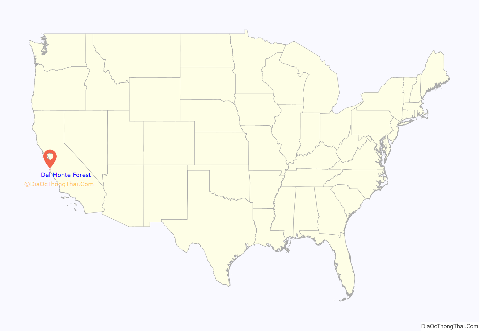
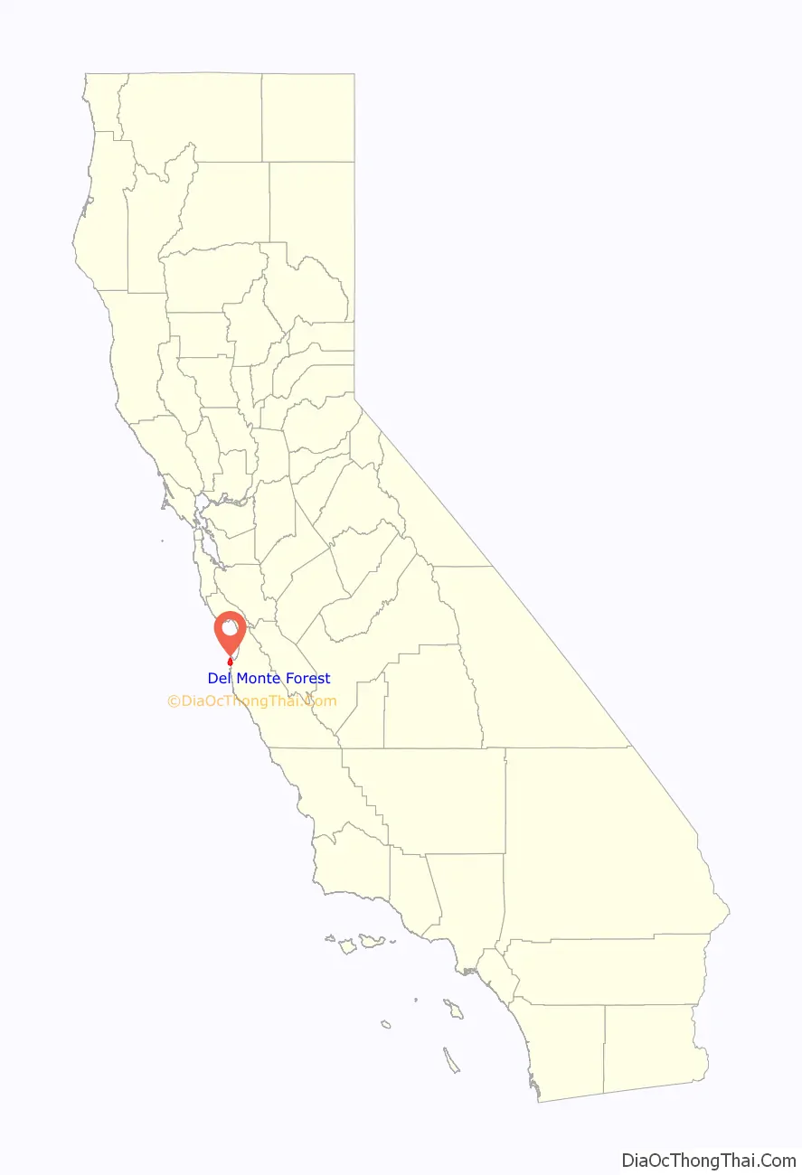
Del Monte Forest location map. Where is Del Monte Forest CDP?
History
The Del Monte Forest was originally part of the resort complex of the Hotel Del Monte in Monterey. The resort hotel was built by Charles Crocker, one of California’s Big Four railroad barons, through Southern Pacific Railroad’s property division, the Pacific Improvement Company (PIC). The hotel first opened on June 10, 1880. Samuel Finley Brown Morse formed the Del Monte Properties Company on February 27, 1919, and acquired the extensive holdings of the PIC, which included the Del Monte Forest, the Del Monte Lodge (since renamed the Lodge at Pebble Beach) and the Hotel Del Monte. The actual hotel building and surrounding grounds were acquired by the United States Navy after World War II to be the Navy’s new location of the Naval Postgraduate School.
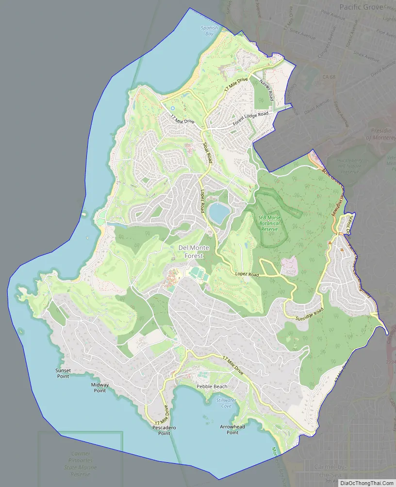
Del Monte Forest Road Map
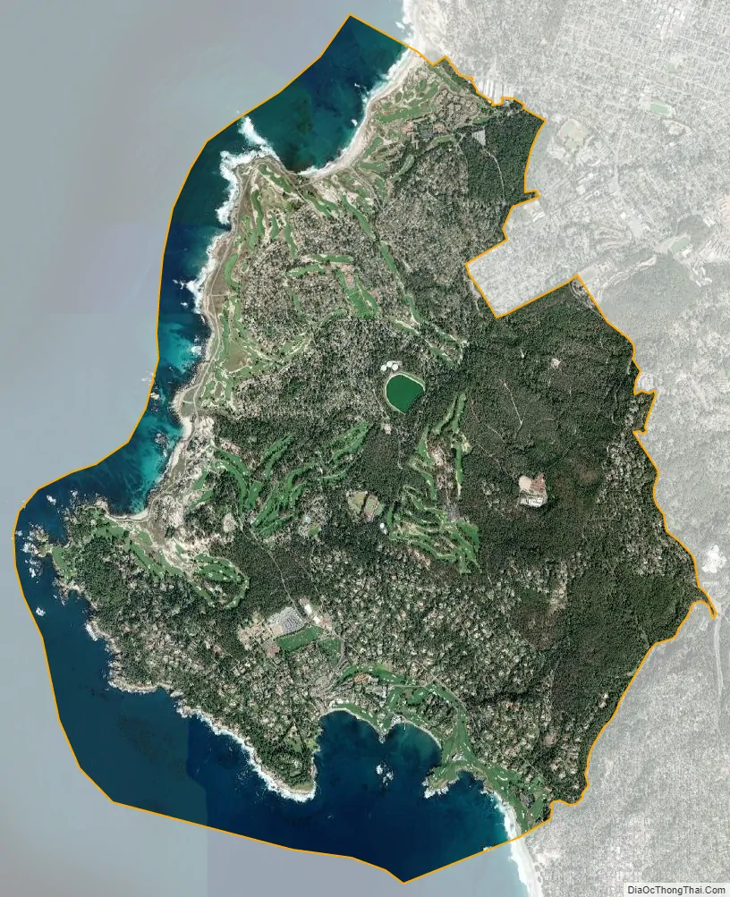
Del Monte Forest city Satellite Map
Geography
Del Monte Forest is located in northwestern Monterey County at 36°35’11” North, 121°56’51” West. It occupies the western half of the Monterey Peninsula and is bordered to the east by the city of Montery and to the north by the city of Pacific Grove. The city of Carmel-by-the-Sea is to the south. Pebble Beach is in the southern part of the CDP.
According to the United States Census Bureau, Del Monte Forest has a total area of 10.6 square miles (27 km), of which 8.0 square miles (21 km) are land and 2.6 square miles (6.7 km) are water. The total area is 24.55% water.
The community is a habitat for a number of limited range and endangered species.
See also
Map of California State and its subdivision:- Alameda
- Alpine
- Amador
- Butte
- Calaveras
- Colusa
- Contra Costa
- Del Norte
- El Dorado
- Fresno
- Glenn
- Humboldt
- Imperial
- Inyo
- Kern
- Kings
- Lake
- Lassen
- Los Angeles
- Madera
- Marin
- Mariposa
- Mendocino
- Merced
- Modoc
- Mono
- Monterey
- Napa
- Nevada
- Orange
- Placer
- Plumas
- Riverside
- Sacramento
- San Benito
- San Bernardino
- San Diego
- San Francisco
- San Joaquin
- San Luis Obispo
- San Mateo
- Santa Barbara
- Santa Clara
- Santa Cruz
- Shasta
- Sierra
- Siskiyou
- Solano
- Sonoma
- Stanislaus
- Sutter
- Tehama
- Trinity
- Tulare
- Tuolumne
- Ventura
- Yolo
- Yuba
- Alabama
- Alaska
- Arizona
- Arkansas
- California
- Colorado
- Connecticut
- Delaware
- District of Columbia
- Florida
- Georgia
- Hawaii
- Idaho
- Illinois
- Indiana
- Iowa
- Kansas
- Kentucky
- Louisiana
- Maine
- Maryland
- Massachusetts
- Michigan
- Minnesota
- Mississippi
- Missouri
- Montana
- Nebraska
- Nevada
- New Hampshire
- New Jersey
- New Mexico
- New York
- North Carolina
- North Dakota
- Ohio
- Oklahoma
- Oregon
- Pennsylvania
- Rhode Island
- South Carolina
- South Dakota
- Tennessee
- Texas
- Utah
- Vermont
- Virginia
- Washington
- West Virginia
- Wisconsin
- Wyoming


