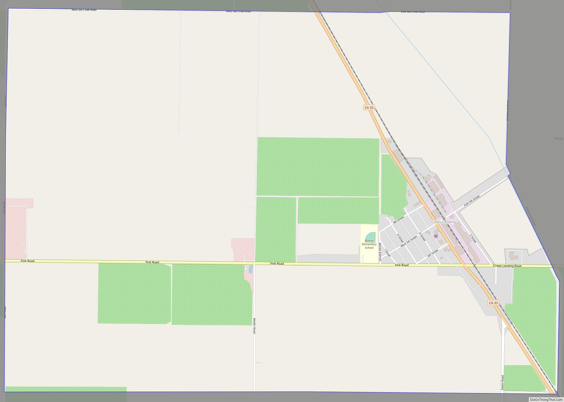
Crows Landing is a census-designated place (CDP) in Stanislaus County, California. Crows Landing is about 20 miles (32 km) southwest of Modesto. Crows Landing sits at an elevation of 128 feet (39 m). The 2020 United States census reported Crows Landing’s population was 322.
| Name: | Crows Landing CDP |
|---|---|
| LSAD Code: | 57 |
| LSAD Description: | CDP (suffix) |
| State: | California |
| County: | Stanislaus County |
| Elevation: | 128 ft (39 m) |
| Total Area: | 1.65 sq mi (4.28 km²) |
| Land Area: | 1.65 sq mi (4.28 km²) |
| Water Area: | 0.00 sq mi (0.00 km²) 0% |
| Total Population: | 322 |
| Population Density: | 194.68/sq mi (75.19/km²) |
| ZIP code: | 95313 |
| Area code: | 209 |
| FIPS code: | 0617428 |
| GNISfeature ID: | 2582988 |
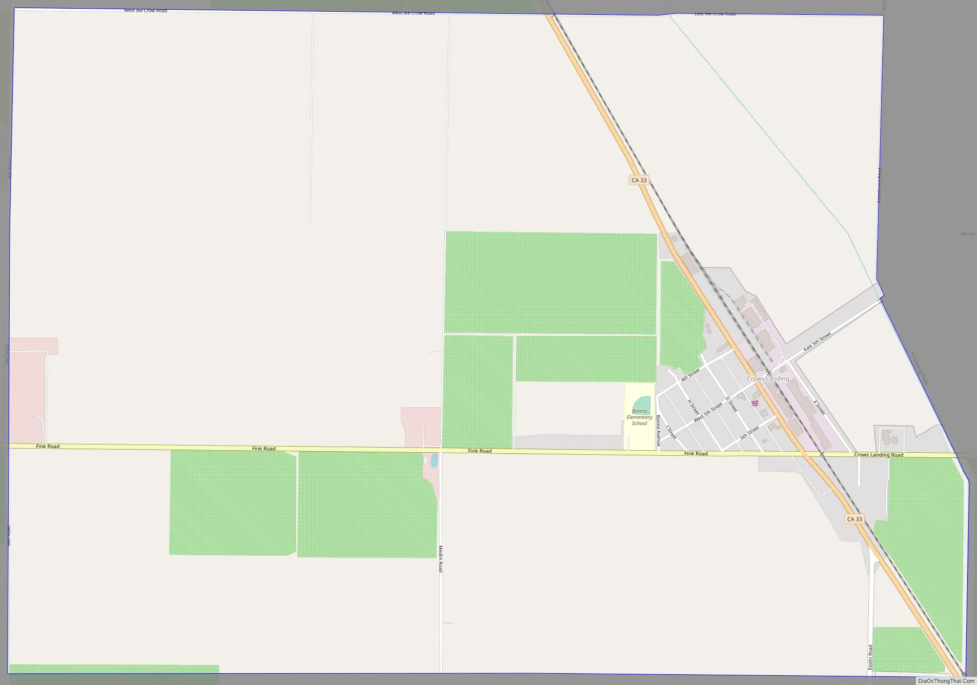
Online Interactive Map
Click on ![]() to view map in "full screen" mode.
to view map in "full screen" mode.
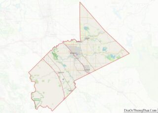
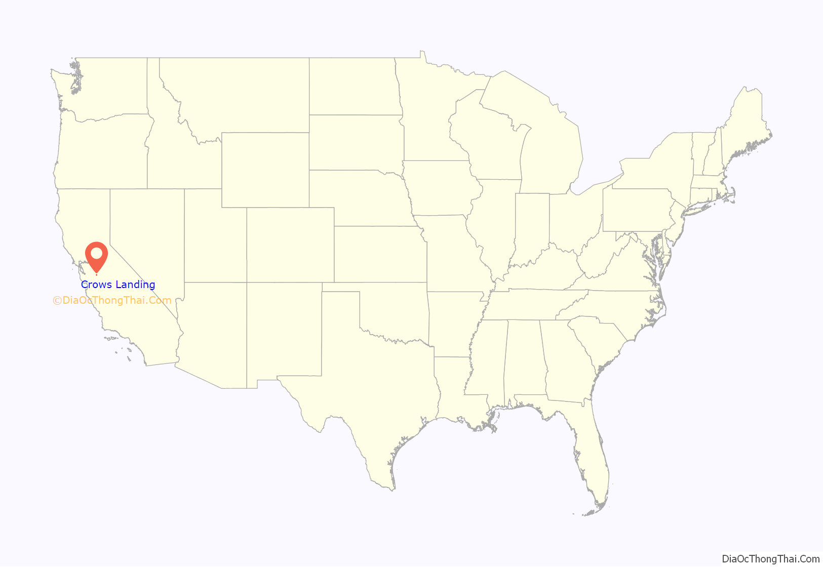
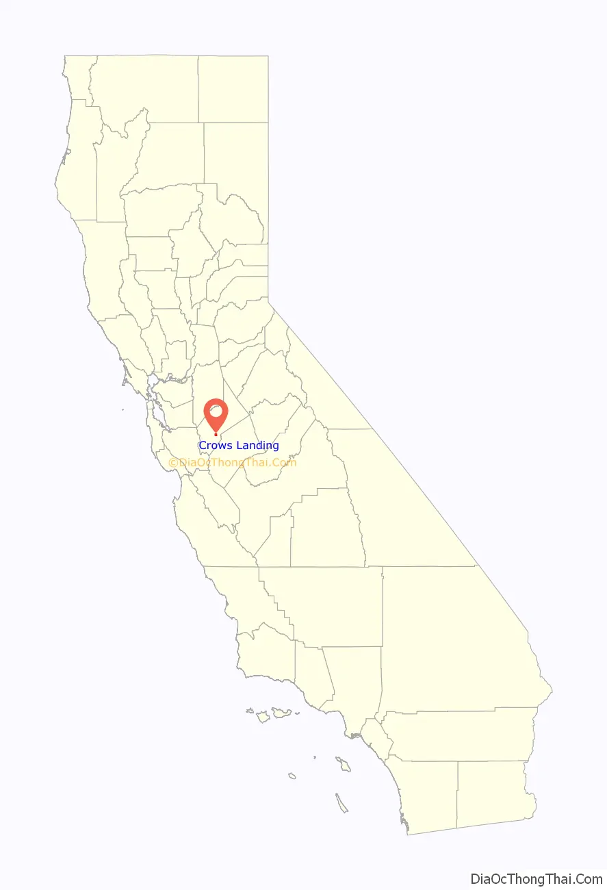
Crows Landing location map. Where is Crows Landing CDP?
History
Crows Landing was founded on the San Joaquin River, as a river landing or crossing, by John Crow, who was born in Missouri in 1830 and died in California in 1917; John Crow’s father, Walter Crow, had left Missouri to mine gold in California in 1849. John Crow emigrated from Missouri to California in a covered wagon with his wife Margaret Malinda Bodenhamer, born in 1837 in Quincy, Illinois and died in California in 1918. The Crows had 12 children, but not all survived to adulthood.
In 1887, Crows Landing was relocated to its present site, 4 miles west of its original location, to be served by the Southern Pacific Railroad.
Members of the Crow family still live at Crows Landing and operate a walnut farm.
The small airport at Crows Landing, west of town, was formerly used as an auxiliary landing site for training World War II pilots from Naval Air Station Alameda, and later for NASA’s experimental aircraft from the Ames Research Center in Mountain View. In 2000, control of the airfield was transferred to Stanislaus County. The airfield has been closed since 2011 and is now used for testing cars, trucks, aircraft, and for storage.
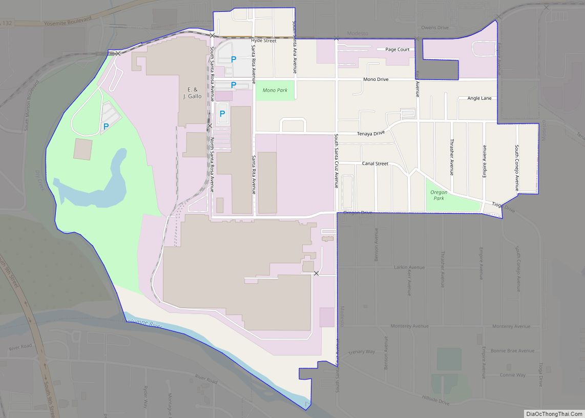
Crows Landing Road Map
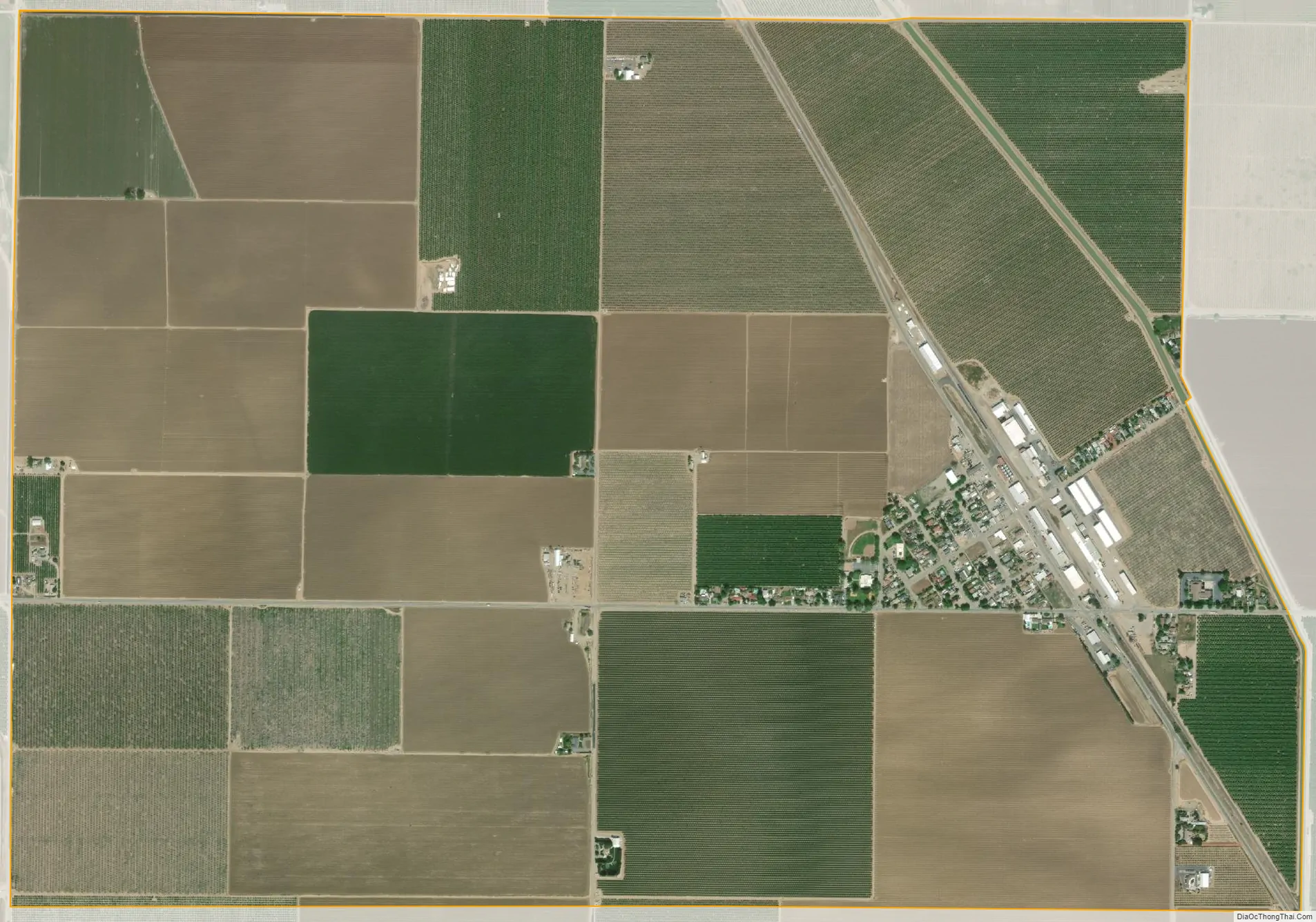
Crows Landing city Satellite Map
Geography
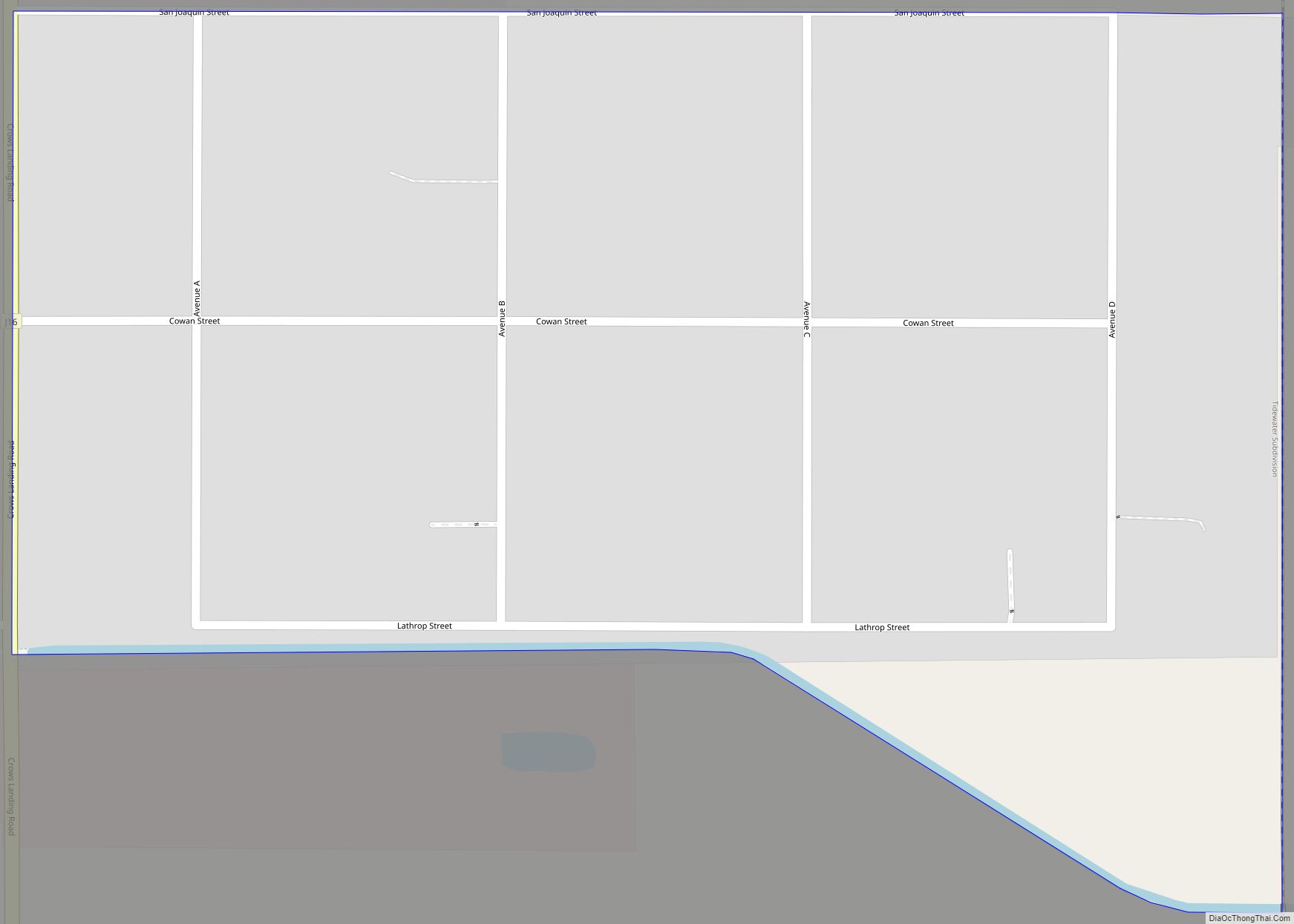
According to the United States Census Bureau, the CDP covers an area of 3.2 square miles (8.2 km), all of it land.
See also
Map of California State and its subdivision:- Alameda
- Alpine
- Amador
- Butte
- Calaveras
- Colusa
- Contra Costa
- Del Norte
- El Dorado
- Fresno
- Glenn
- Humboldt
- Imperial
- Inyo
- Kern
- Kings
- Lake
- Lassen
- Los Angeles
- Madera
- Marin
- Mariposa
- Mendocino
- Merced
- Modoc
- Mono
- Monterey
- Napa
- Nevada
- Orange
- Placer
- Plumas
- Riverside
- Sacramento
- San Benito
- San Bernardino
- San Diego
- San Francisco
- San Joaquin
- San Luis Obispo
- San Mateo
- Santa Barbara
- Santa Clara
- Santa Cruz
- Shasta
- Sierra
- Siskiyou
- Solano
- Sonoma
- Stanislaus
- Sutter
- Tehama
- Trinity
- Tulare
- Tuolumne
- Ventura
- Yolo
- Yuba
- Alabama
- Alaska
- Arizona
- Arkansas
- California
- Colorado
- Connecticut
- Delaware
- District of Columbia
- Florida
- Georgia
- Hawaii
- Idaho
- Illinois
- Indiana
- Iowa
- Kansas
- Kentucky
- Louisiana
- Maine
- Maryland
- Massachusetts
- Michigan
- Minnesota
- Mississippi
- Missouri
- Montana
- Nebraska
- Nevada
- New Hampshire
- New Jersey
- New Mexico
- New York
- North Carolina
- North Dakota
- Ohio
- Oklahoma
- Oregon
- Pennsylvania
- Rhode Island
- South Carolina
- South Dakota
- Tennessee
- Texas
- Utah
- Vermont
- Virginia
- Washington
- West Virginia
- Wisconsin
- Wyoming