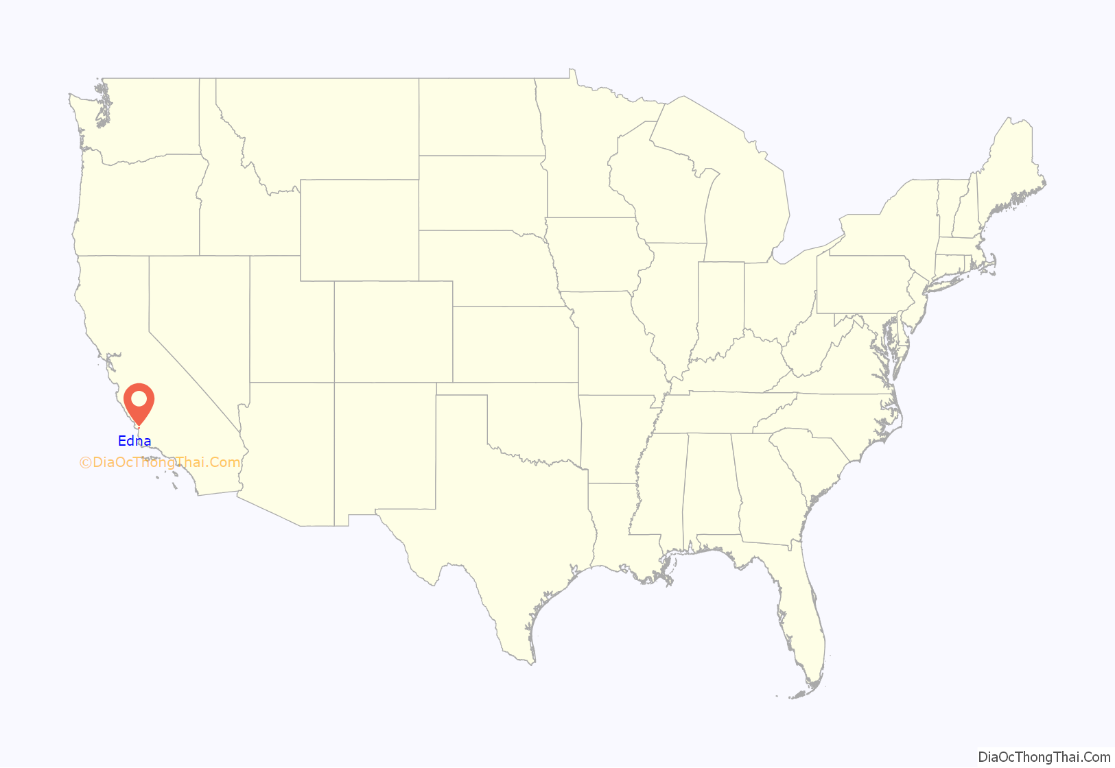
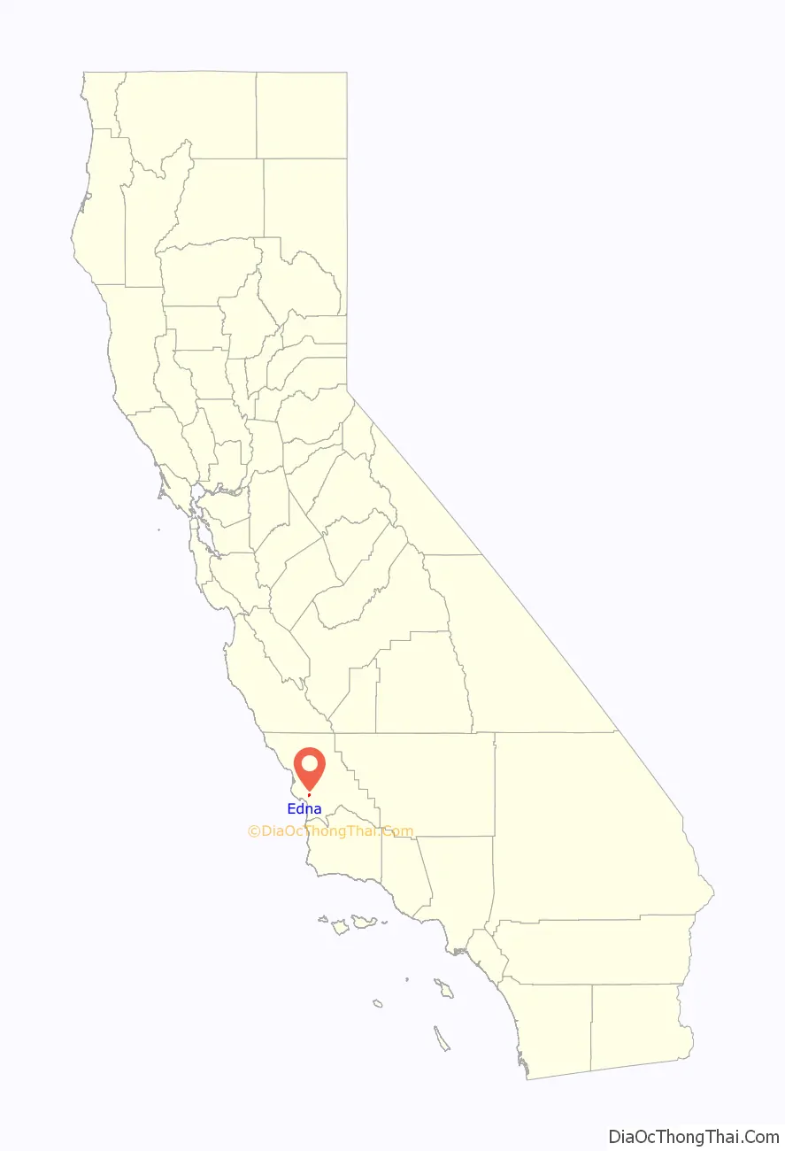
Edna is a census-designated place in San Luis Obispo County, California. Edna is at an elevation of around 266 feet (81 m). The 2010 United States census reported Edna’s population was 193. It is best known for the wine industry in the Edna Valley AVA.
| Name: | Edna CDP |
|---|---|
| LSAD Code: | 57 |
| LSAD Description: | CDP (suffix) |
| State: | California |
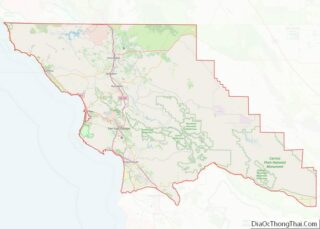
| County: | San Luis Obispo County |
| Elevation: | 266 ft (81 m) |
| Total Area: | 1.219 sq mi (3.158 km²) |
| Land Area: | 1.219 sq mi (3.158 km²) |
| Water Area: | 0 sq mi (0 km²) 0% |
| Total Population: | 408 |
| Population Density: | 330/sq mi (130/km²) |
| ZIP code: | 93401 |
| Area code: | 805 and 820 |
| FIPS code: | 0621565 |
| GNISfeature ID: | 2583005 |
Online Interactive Map
Click on ![]() to view map in "full screen" mode.
to view map in "full screen" mode.
Edna location map. Where is Edna CDP?
History
The community was founded by Dairyman Edgar Steele who purchased 58,000 acres and built a town to house his employees. In 1883 Lynford Maxwell subdivided the area and called it Maxwellton. The citizens later renamed it Edna. There was coal tar mining of bituminous rock in the 1880s and 1890s and more recently wine grape growing has become the prominent industry.
Edna Road Map
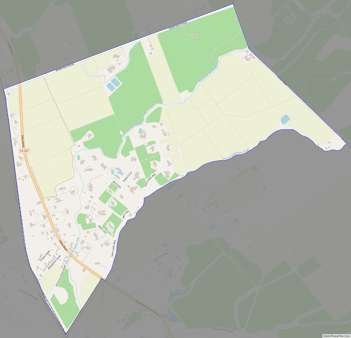
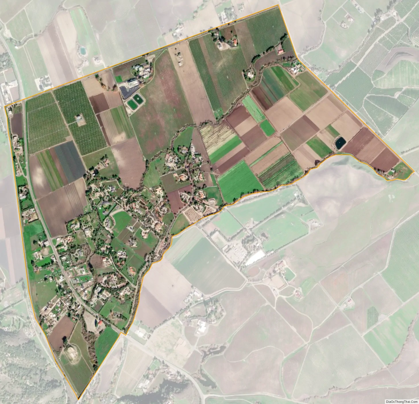
Edna city Satellite Map
Geography
According to the United States Census Bureau, the CDP covers an area of 1.2 square miles (3.2 km), all of it land.
The valley also includes Edna Fault, a prominent landform just south of the main community.
See also
Map of California State and its subdivision:- Alameda
- Alpine
- Amador
- Butte
- Calaveras
- Colusa
- Contra Costa
- Del Norte
- El Dorado
- Fresno
- Glenn
- Humboldt
- Imperial
- Inyo
- Kern
- Kings
- Lake
- Lassen
- Los Angeles
- Madera
- Marin
- Mariposa
- Mendocino
- Merced
- Modoc
- Mono
- Monterey
- Napa
- Nevada
- Orange
- Placer
- Plumas
- Riverside
- Sacramento
- San Benito
- San Bernardino
- San Diego
- San Francisco
- San Joaquin
- San Luis Obispo
- San Mateo
- Santa Barbara
- Santa Clara
- Santa Cruz
- Shasta
- Sierra
- Siskiyou
- Solano
- Sonoma
- Stanislaus
- Sutter
- Tehama
- Trinity
- Tulare
- Tuolumne
- Ventura
- Yolo
- Yuba
- Alabama
- Alaska
- Arizona
- Arkansas
- California
- Colorado
- Connecticut
- Delaware
- District of Columbia
- Florida
- Georgia
- Hawaii
- Idaho
- Illinois
- Indiana
- Iowa
- Kansas
- Kentucky
- Louisiana
- Maine
- Maryland
- Massachusetts
- Michigan
- Minnesota
- Mississippi
- Missouri
- Montana
- Nebraska
- Nevada
- New Hampshire
- New Jersey
- New Mexico
- New York
- North Carolina
- North Dakota
- Ohio
- Oklahoma
- Oregon
- Pennsylvania
- Rhode Island
- South Carolina
- South Dakota
- Tennessee
- Texas
- Utah
- Vermont
- Virginia
- Washington
- West Virginia
- Wisconsin
- Wyoming