Elizabeth Lake is a census-designated place (CDP) and unincorporated community on Elizabeth Lake (lake), in Los Angeles County, California, United States. As of the 2010 census it had a population of 1,756.
| Name: | Elizabeth Lake CDP |
|---|---|
| LSAD Code: | 57 |
| LSAD Description: | CDP (suffix) |
| State: | California |
| County: | Los Angeles County |
| Elevation: | 3,389 ft (1,033 m) |
| Total Area: | 6.543 sq mi (16.947 km²) |
| Land Area: | 6.246 sq mi (16.178 km²) |
| Water Area: | 0.297 sq mi (0.769 km²) 4.54% |
| Total Population: | 1,756 |
| Population Density: | 270/sq mi (100/km²) |
| ZIP code: | 93532 |
| FIPS code: | 0621964 |
| GNISfeature ID: | 2583006 |
Online Interactive Map
Click on ![]() to view map in "full screen" mode.
to view map in "full screen" mode.
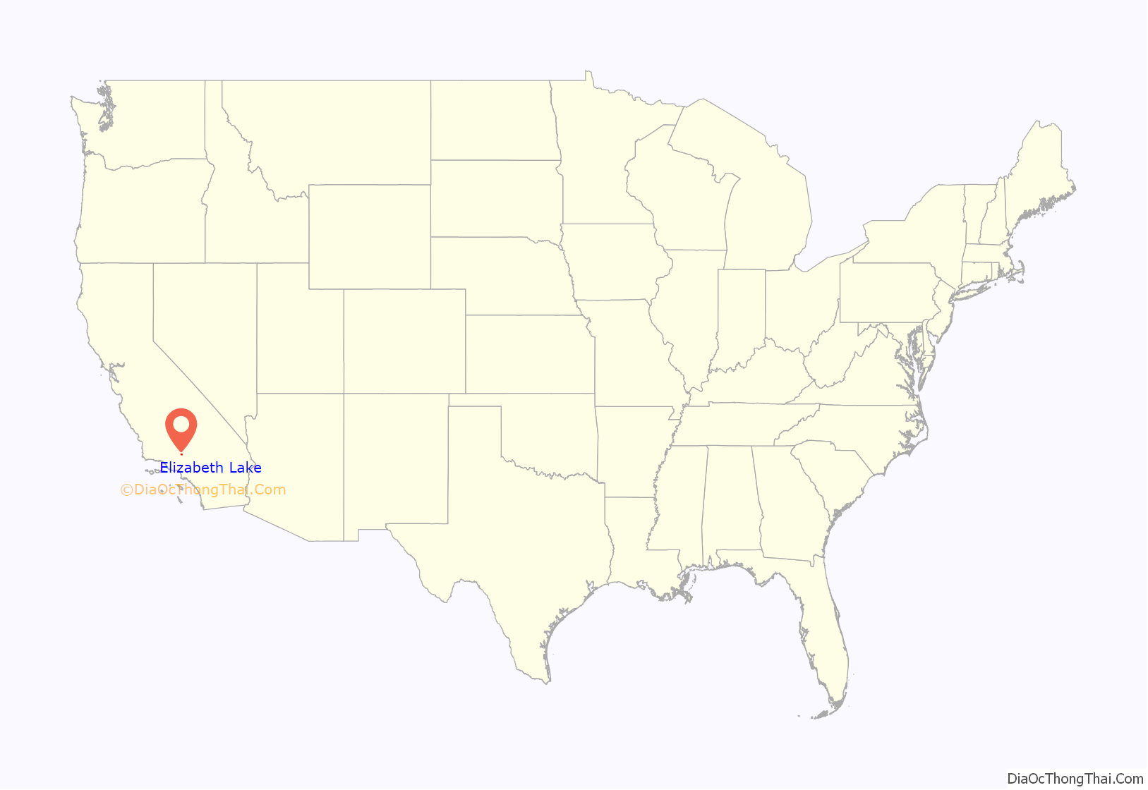
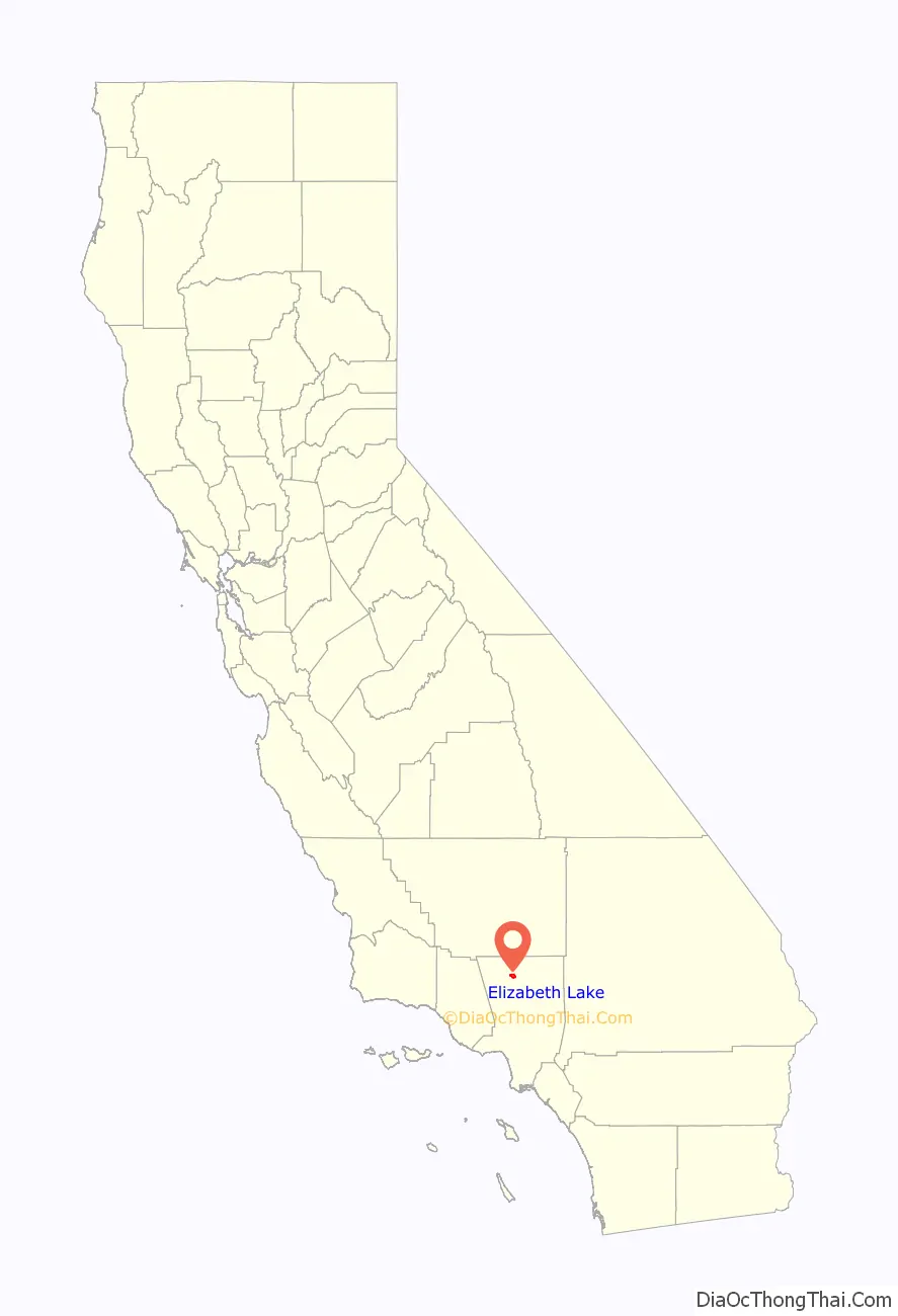
Elizabeth Lake location map. Where is Elizabeth Lake CDP?
History
Known then as “La Laguna de Chico Lopez”, Elizabeth Lake was a watering locale on Spanish colonial and Mexican El Camino Viejo in Alta California and the Gold Rush era Stockton–Los Angeles Road. From 1858 to 1861 it was between the Widow Smith’s Station and Mud Spring stage stops of the Butterfield Overland Mail. The lake area was to the west of Rancho La Liebre, an 1846 Mexican land grant now part of Tejon Ranch.
In 1907 William Mulholland, superintendent of the Los Angeles Department of Water and Power, started work on the Elizabeth Lake Tunnel for transporting water in the Los Angeles Aqueduct from Owens Valley to Los Angeles. The 5-mile-long (8 km) tunnel is 285 feet (87 m) under the valley floor. The tunnel was driven from both ends. The north portal is at Fairmont Reservoir and the south in Bear Canyon (now Portal Canyon) northwest of Green Valley. This 11-foot-wide (3.4 m) tunnel was driven 27,000 ft (8,200 m) through solid rock and met in the center within 1½ inches in line and 5/8 inches in depth. Work was around the clock and averaged about 11 feet (3.4 m) per day. The Elizabeth Lake tunnel was the largest single construction project on the Los Angeles Aqueduct and set speed records in its day.
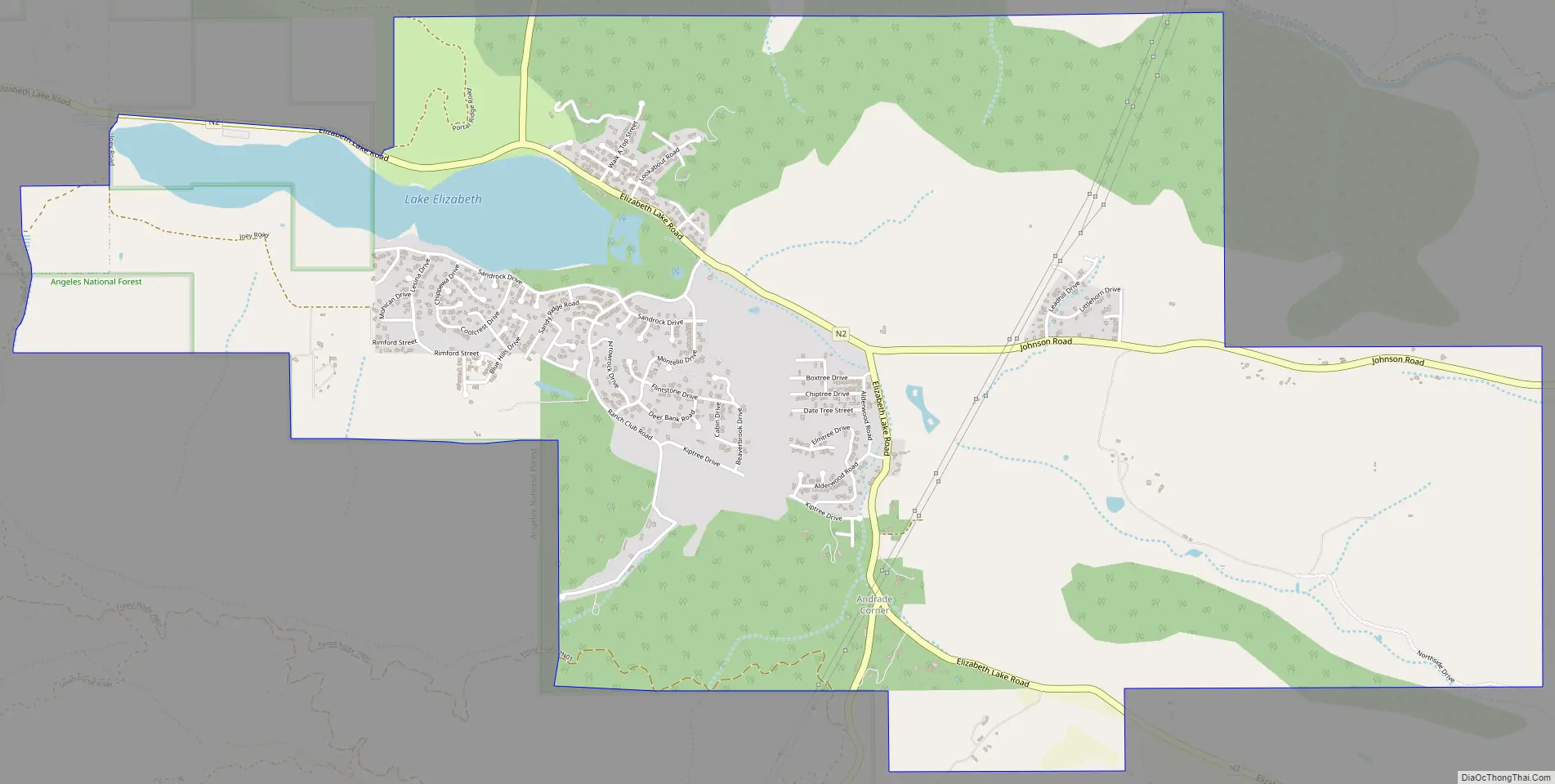
Elizabeth Lake Road Map
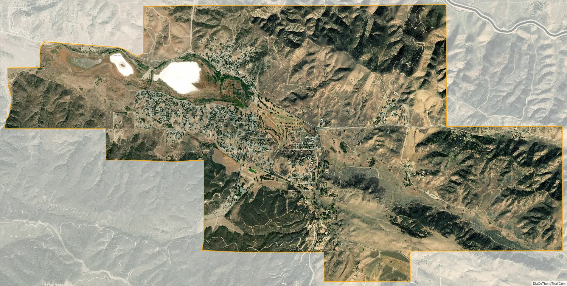
Elizabeth Lake city Satellite Map
Geography
The community of Elizabeth Lake borders the unincorporated community of Lake Hughes, sharing the same ZIP Code (93532). It is located in the northern Sierra Pelona Mountains, at the edge of the western Antelope Valley and Mojave Desert. The community is at an elevation of 3,389 feet (1,033 m) and surrounded by the Angeles National Forest.
Elizabeth Lake and Hughes Lake are in canyons along the San Andreas Fault. Both lakes dry up periodically depending on rainfall cycles.
According to the United States Census Bureau, the CDP has a total area of 6.5 square miles (16.9 km), over 95% of which is land.
See also
Map of California State and its subdivision:- Alameda
- Alpine
- Amador
- Butte
- Calaveras
- Colusa
- Contra Costa
- Del Norte
- El Dorado
- Fresno
- Glenn
- Humboldt
- Imperial
- Inyo
- Kern
- Kings
- Lake
- Lassen
- Los Angeles
- Madera
- Marin
- Mariposa
- Mendocino
- Merced
- Modoc
- Mono
- Monterey
- Napa
- Nevada
- Orange
- Placer
- Plumas
- Riverside
- Sacramento
- San Benito
- San Bernardino
- San Diego
- San Francisco
- San Joaquin
- San Luis Obispo
- San Mateo
- Santa Barbara
- Santa Clara
- Santa Cruz
- Shasta
- Sierra
- Siskiyou
- Solano
- Sonoma
- Stanislaus
- Sutter
- Tehama
- Trinity
- Tulare
- Tuolumne
- Ventura
- Yolo
- Yuba
- Alabama
- Alaska
- Arizona
- Arkansas
- California
- Colorado
- Connecticut
- Delaware
- District of Columbia
- Florida
- Georgia
- Hawaii
- Idaho
- Illinois
- Indiana
- Iowa
- Kansas
- Kentucky
- Louisiana
- Maine
- Maryland
- Massachusetts
- Michigan
- Minnesota
- Mississippi
- Missouri
- Montana
- Nebraska
- Nevada
- New Hampshire
- New Jersey
- New Mexico
- New York
- North Carolina
- North Dakota
- Ohio
- Oklahoma
- Oregon
- Pennsylvania
- Rhode Island
- South Carolina
- South Dakota
- Tennessee
- Texas
- Utah
- Vermont
- Virginia
- Washington
- West Virginia
- Wisconsin
- Wyoming


