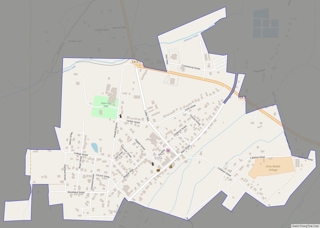
Etna is a city in the Scott Valley area of Siskiyou County, California, United States. Its population is 678 as of the 2020 census, down from 737 from the 2010 census.
| Name: | Etna city |
|---|---|
| LSAD Code: | 25 |
| LSAD Description: | city (suffix) |
| State: | California |
| County: | Siskiyou County |
| Incorporated: | March 13, 1878 |
| Elevation: | 2,936 ft (895 m) |
| Total Area: | 0.76 sq mi (1.97 km²) |
| Land Area: | 0.76 sq mi (1.97 km²) |
| Water Area: | 0.00 sq mi (0.00 km²) 0.12% |
| Total Population: | 678 |
| Population Density: | 890/sq mi (340/km²) |
| ZIP code: | 96027 |
| Area code: | 530 |
| FIPS code: | 0622972 |
| Website: | www.cityofetna.org |
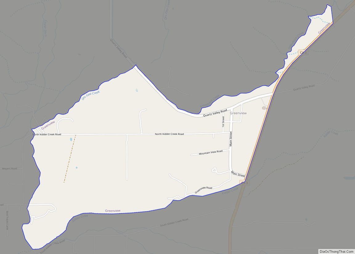
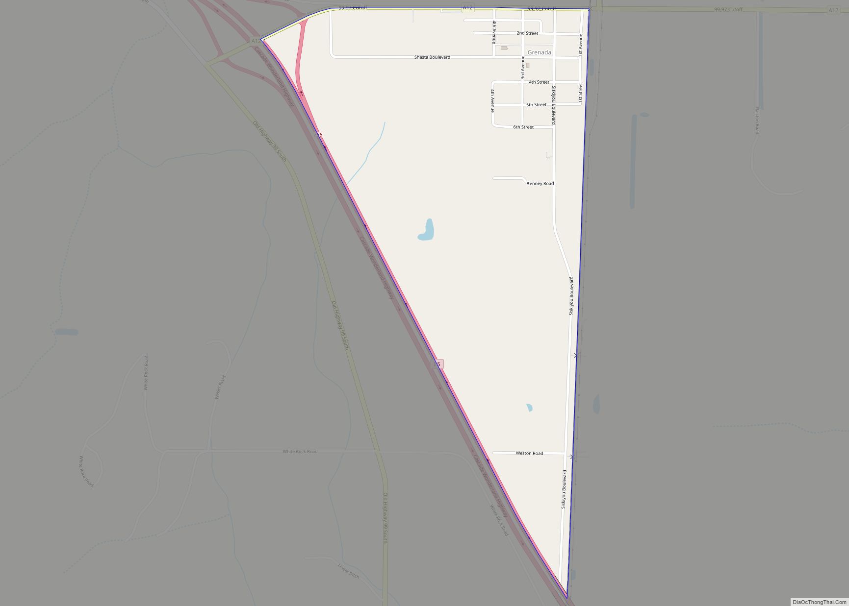
Online Interactive Map
Click on ![]() to view map in "full screen" mode.
to view map in "full screen" mode.
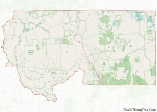
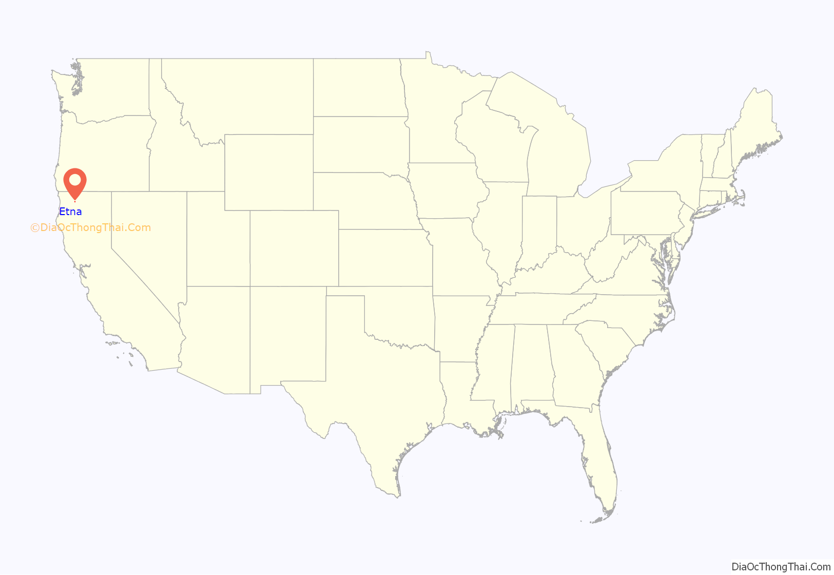
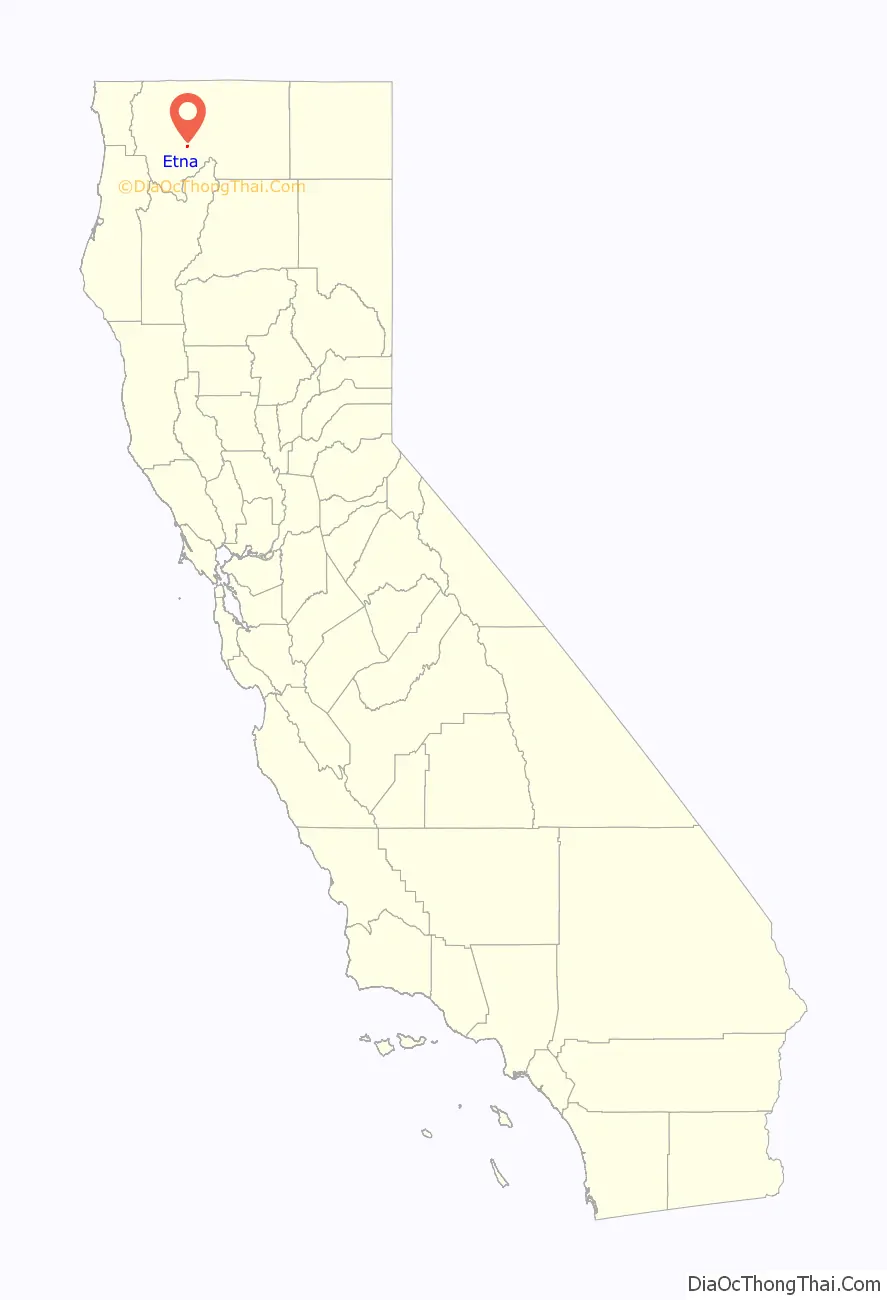
Etna location map. Where is Etna city?
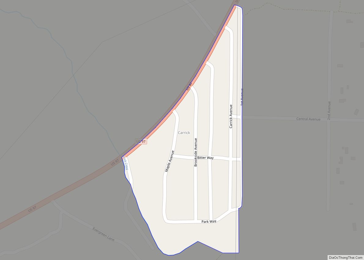
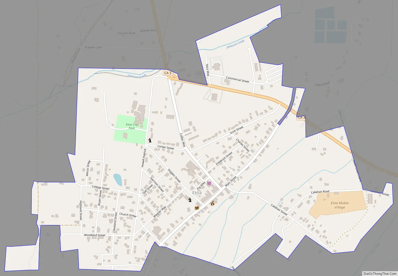
Etna Road Map
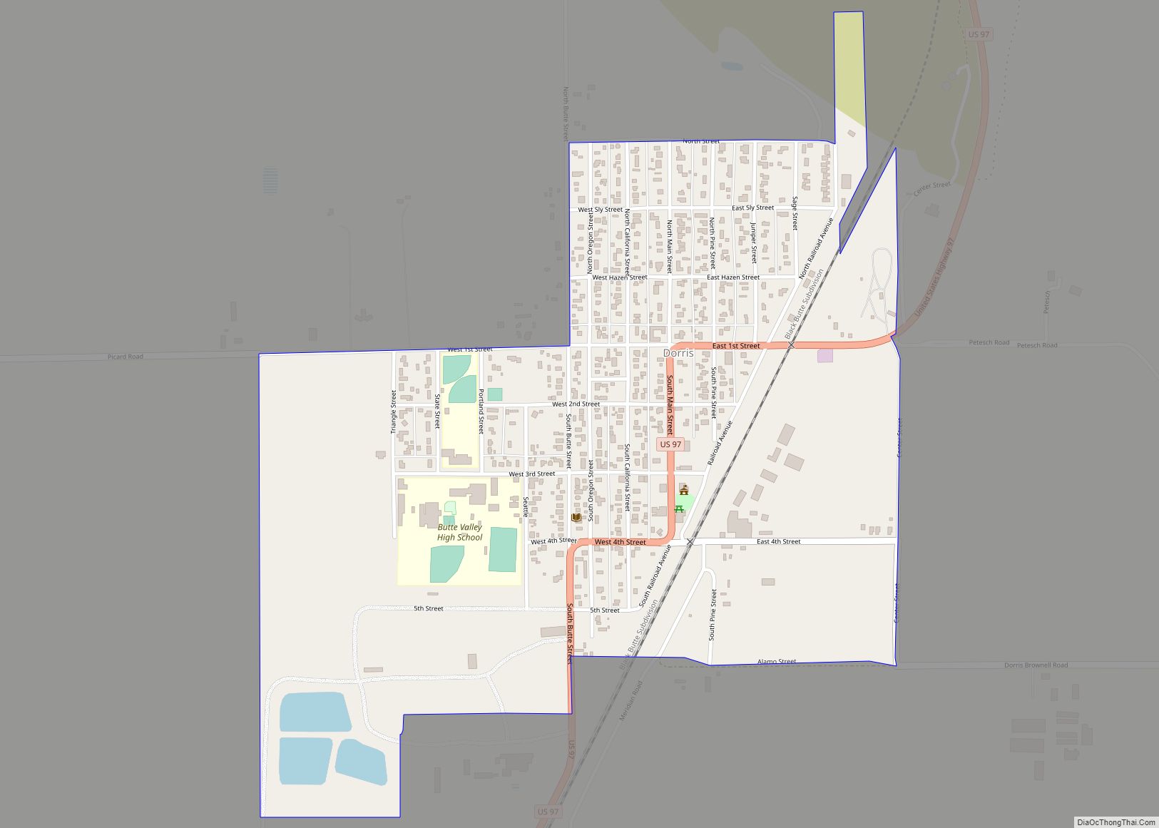
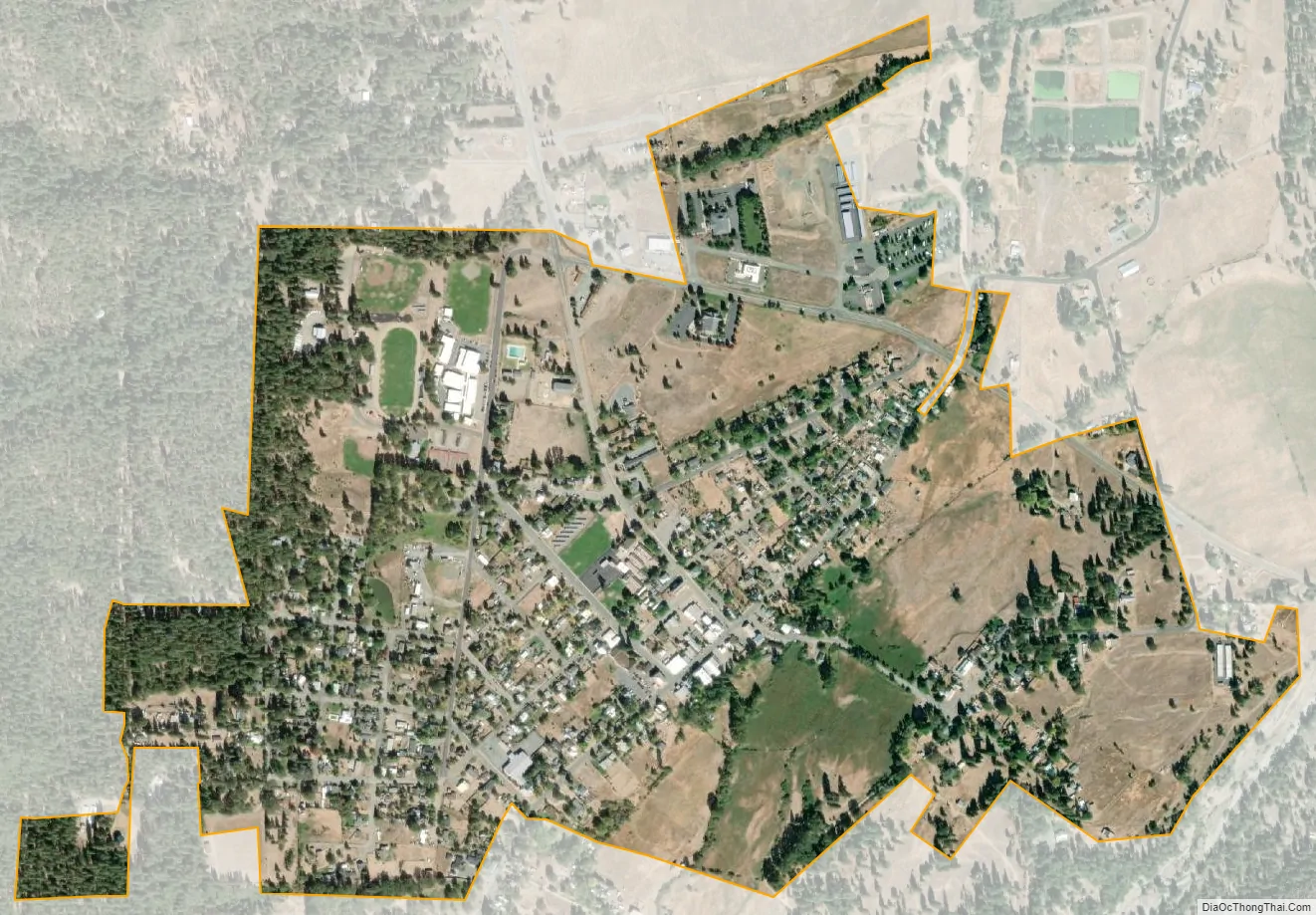
Etna city Satellite Map
Geography
Etna is located at 41°27′26″N 122°53′49″W / 41.45722°N 122.89694°W / 41.45722; -122.89694 (41.457350, -122.896875). Etna is in Northern California near the Oregon border, located in Scott Valley near the CDP of Greenview, the city of Fort Jones, and the unincorporated community of Callahan. Etna is located at the foot of the Marble Mountain Wilderness in the Siskiyou subrange of the Klamath (Cascades) Range and is an attraction for hikers, rafters, climbers and people who do all sorts of other outdoor activities.
According to the United States Census Bureau, the city has a total area of 0.8 square miles (2.1 km), 99.88% of it land and 0.12% of it water.
See also
Map of California State and its subdivision:- Alameda
- Alpine
- Amador
- Butte
- Calaveras
- Colusa
- Contra Costa
- Del Norte
- El Dorado
- Fresno
- Glenn
- Humboldt
- Imperial
- Inyo
- Kern
- Kings
- Lake
- Lassen
- Los Angeles
- Madera
- Marin
- Mariposa
- Mendocino
- Merced
- Modoc
- Mono
- Monterey
- Napa
- Nevada
- Orange
- Placer
- Plumas
- Riverside
- Sacramento
- San Benito
- San Bernardino
- San Diego
- San Francisco
- San Joaquin
- San Luis Obispo
- San Mateo
- Santa Barbara
- Santa Clara
- Santa Cruz
- Shasta
- Sierra
- Siskiyou
- Solano
- Sonoma
- Stanislaus
- Sutter
- Tehama
- Trinity
- Tulare
- Tuolumne
- Ventura
- Yolo
- Yuba
- Alabama
- Alaska
- Arizona
- Arkansas
- California
- Colorado
- Connecticut
- Delaware
- District of Columbia
- Florida
- Georgia
- Hawaii
- Idaho
- Illinois
- Indiana
- Iowa
- Kansas
- Kentucky
- Louisiana
- Maine
- Maryland
- Massachusetts
- Michigan
- Minnesota
- Mississippi
- Missouri
- Montana
- Nebraska
- Nevada
- New Hampshire
- New Jersey
- New Mexico
- New York
- North Carolina
- North Dakota
- Ohio
- Oklahoma
- Oregon
- Pennsylvania
- Rhode Island
- South Carolina
- South Dakota
- Tennessee
- Texas
- Utah
- Vermont
- Virginia
- Washington
- West Virginia
- Wisconsin
- Wyoming