Fall River Mills, colloquially referred to as Fall River, is an unincorporated town and census-designated place (CDP) in Shasta County, California, United States. Its population is 616 as of the 2020 census, up from 573 from the 2010 census.
| Name: | Fall River Mills CDP |
|---|---|
| LSAD Code: | 57 |
| LSAD Description: | CDP (suffix) |
| State: | California |
| County: | Shasta County |
| Elevation: | 3,195 ft (1,014 m) |
| Total Area: | 2.752 sq mi (7.128 km²) |
| Land Area: | 2.593 sq mi (6.715 km²) |
| Water Area: | 0.159 sq mi (0.413 km²) 5.79% |
| Total Population: | 616 |
| Population Density: | 220/sq mi (86/km²) |
| ZIP code: | 96028 |
| Area code: | 530 |
| FIPS code: | 0623532 |
| GNISfeature ID: | 0260035 |
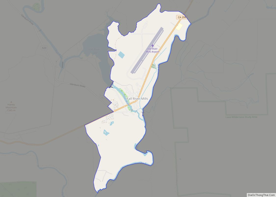
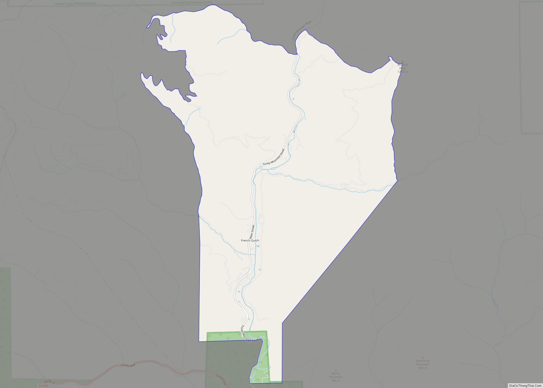
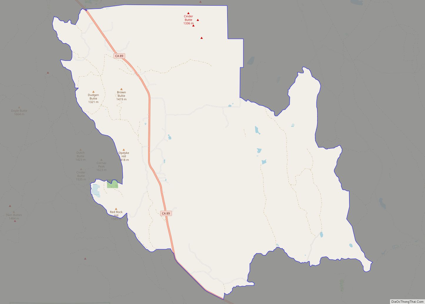
Online Interactive Map
Click on ![]() to view map in "full screen" mode.
to view map in "full screen" mode.
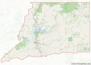
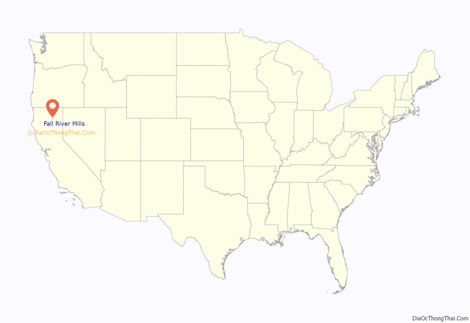
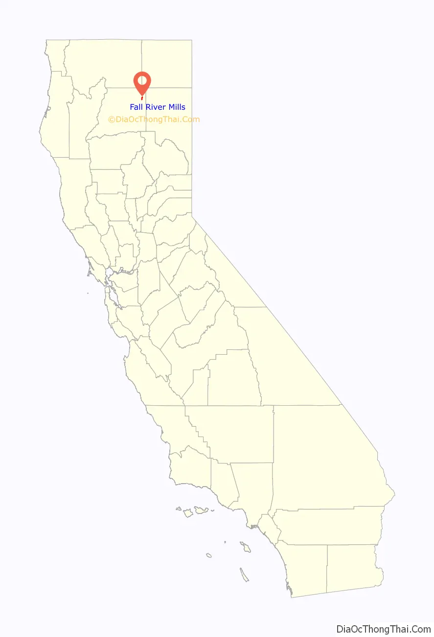
Fall River Mills location map. Where is Fall River Mills CDP?
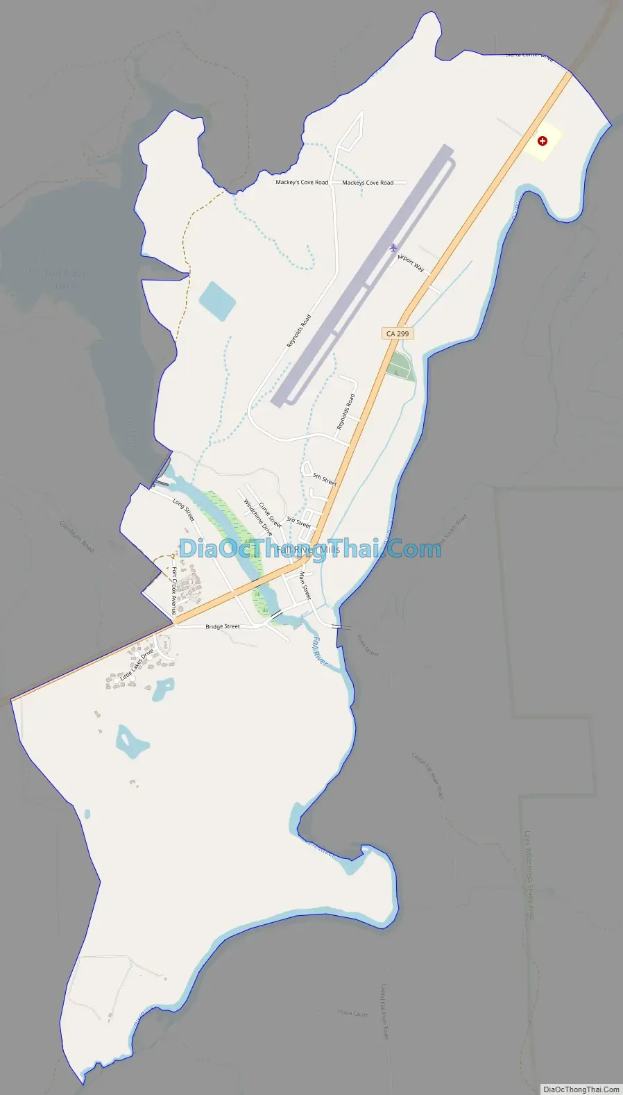
Fall River Mills Road Map
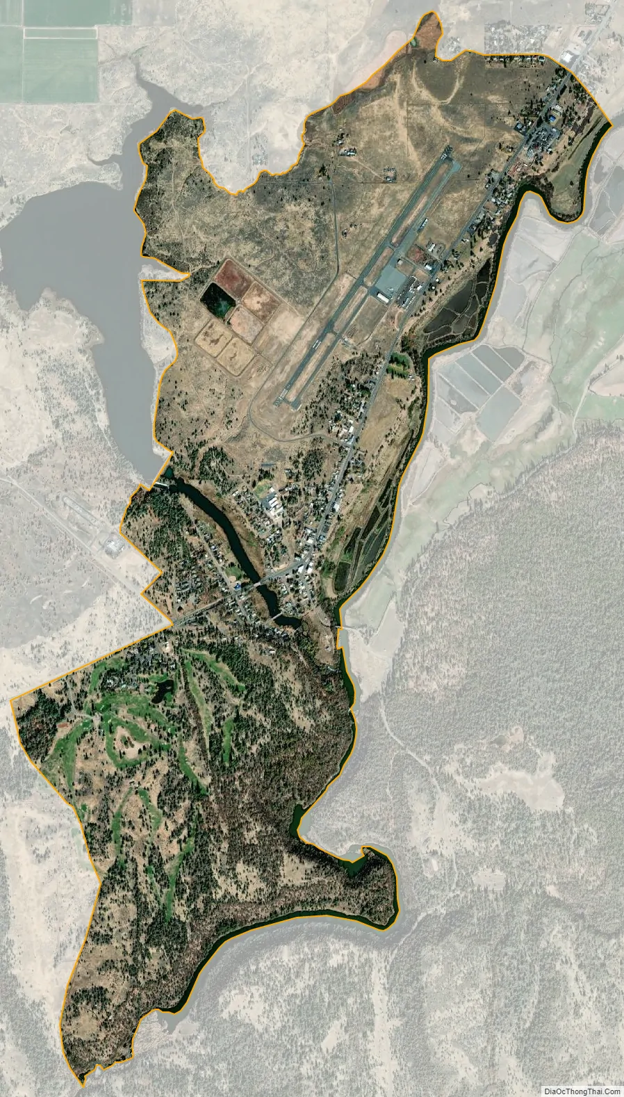
Fall River Mills city Satellite Map
Geography
Fall River Mills is located at 41°0′21″N 121°26′27″W / 41.00583°N 121.44083°W / 41.00583; -121.44083 (41.005760, -121.440946).
Fall River Mills is nestled between the Sierra Nevada and the Cascade mountain ranges in the far Northeast corner of Shasta County, California. The town is surrounded by mountains in all four cardinal directions with Mount Shasta and Mount Lassen visible from anywhere in the Fall River Valley.
Elevation varies only slightly throughout the valley floor, ranging from 3,200 to 3,400 feet (1,000 m). The surrounding passes all vary from 3,600 to 4,200+ feet.
According to the United States Census Bureau, the CDP has a total area of 2.8 square miles (7.3 km), of which, 2.6 square miles (6.7 km) of it is land and 0.2 square miles (0.52 km) of it (5.79%) is water.
Fall River Mills is named after one of the rivers (Fall River) which runs near it. This river, along with the Pit River, water the Fall River Valley, wherein Fall River Mills is located. Much of this valley and its surroundings are volcanic, with all the features which comes with such terrain.
See also
Map of California State and its subdivision:- Alameda
- Alpine
- Amador
- Butte
- Calaveras
- Colusa
- Contra Costa
- Del Norte
- El Dorado
- Fresno
- Glenn
- Humboldt
- Imperial
- Inyo
- Kern
- Kings
- Lake
- Lassen
- Los Angeles
- Madera
- Marin
- Mariposa
- Mendocino
- Merced
- Modoc
- Mono
- Monterey
- Napa
- Nevada
- Orange
- Placer
- Plumas
- Riverside
- Sacramento
- San Benito
- San Bernardino
- San Diego
- San Francisco
- San Joaquin
- San Luis Obispo
- San Mateo
- Santa Barbara
- Santa Clara
- Santa Cruz
- Shasta
- Sierra
- Siskiyou
- Solano
- Sonoma
- Stanislaus
- Sutter
- Tehama
- Trinity
- Tulare
- Tuolumne
- Ventura
- Yolo
- Yuba
- Alabama
- Alaska
- Arizona
- Arkansas
- California
- Colorado
- Connecticut
- Delaware
- District of Columbia
- Florida
- Georgia
- Hawaii
- Idaho
- Illinois
- Indiana
- Iowa
- Kansas
- Kentucky
- Louisiana
- Maine
- Maryland
- Massachusetts
- Michigan
- Minnesota
- Mississippi
- Missouri
- Montana
- Nebraska
- Nevada
- New Hampshire
- New Jersey
- New Mexico
- New York
- North Carolina
- North Dakota
- Ohio
- Oklahoma
- Oregon
- Pennsylvania
- Rhode Island
- South Carolina
- South Dakota
- Tennessee
- Texas
- Utah
- Vermont
- Virginia
- Washington
- West Virginia
- Wisconsin
- Wyoming