Fetters Hot Springs-Agua Caliente is a census-designated place (CDP) in Sonoma Valley, Sonoma County, California, in the United States. As of the 2010 census, the CDP population was 4,144. The name Agua Caliente translates into English, from Spanish, as hot water, referring to the hot springs historically found in the area.
| Name: | Fetters Hot Springs-Agua Caliente CDP |
|---|---|
| LSAD Code: | 57 |
| LSAD Description: | CDP (suffix) |
| State: | California |
| County: | Sonoma County |
| Elevation: | 154 ft (47 m) |
| Total Area: | 1.472 sq mi (3.812 km²) |
| Land Area: | 1.472 sq mi (3.812 km²) |
| Water Area: | 0 sq mi (0 km²) 0% |
| Total Population: | 4,144 |
| Population Density: | 2,800/sq mi (1,100/km²) |
| ZIP code: | 95416 |
| Area code: | 707 |
| FIPS code: | 0623973 |
| GNISfeature ID: | 2408209 |
Online Interactive Map
Click on ![]() to view map in "full screen" mode.
to view map in "full screen" mode.
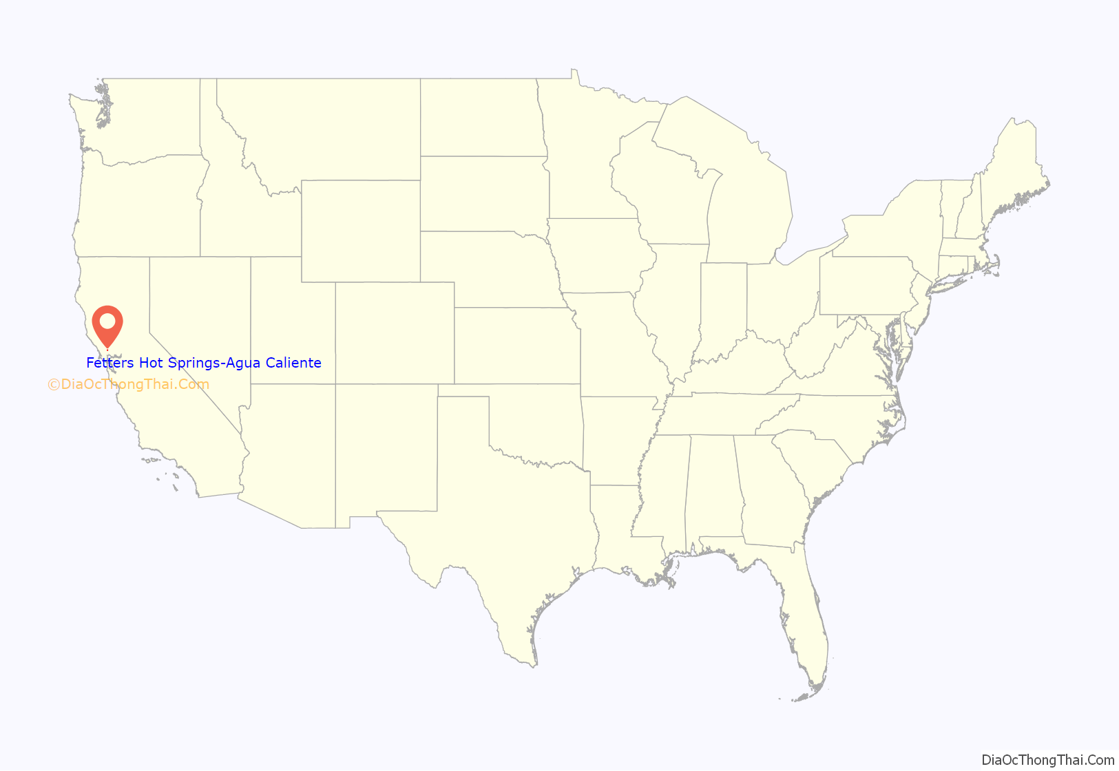
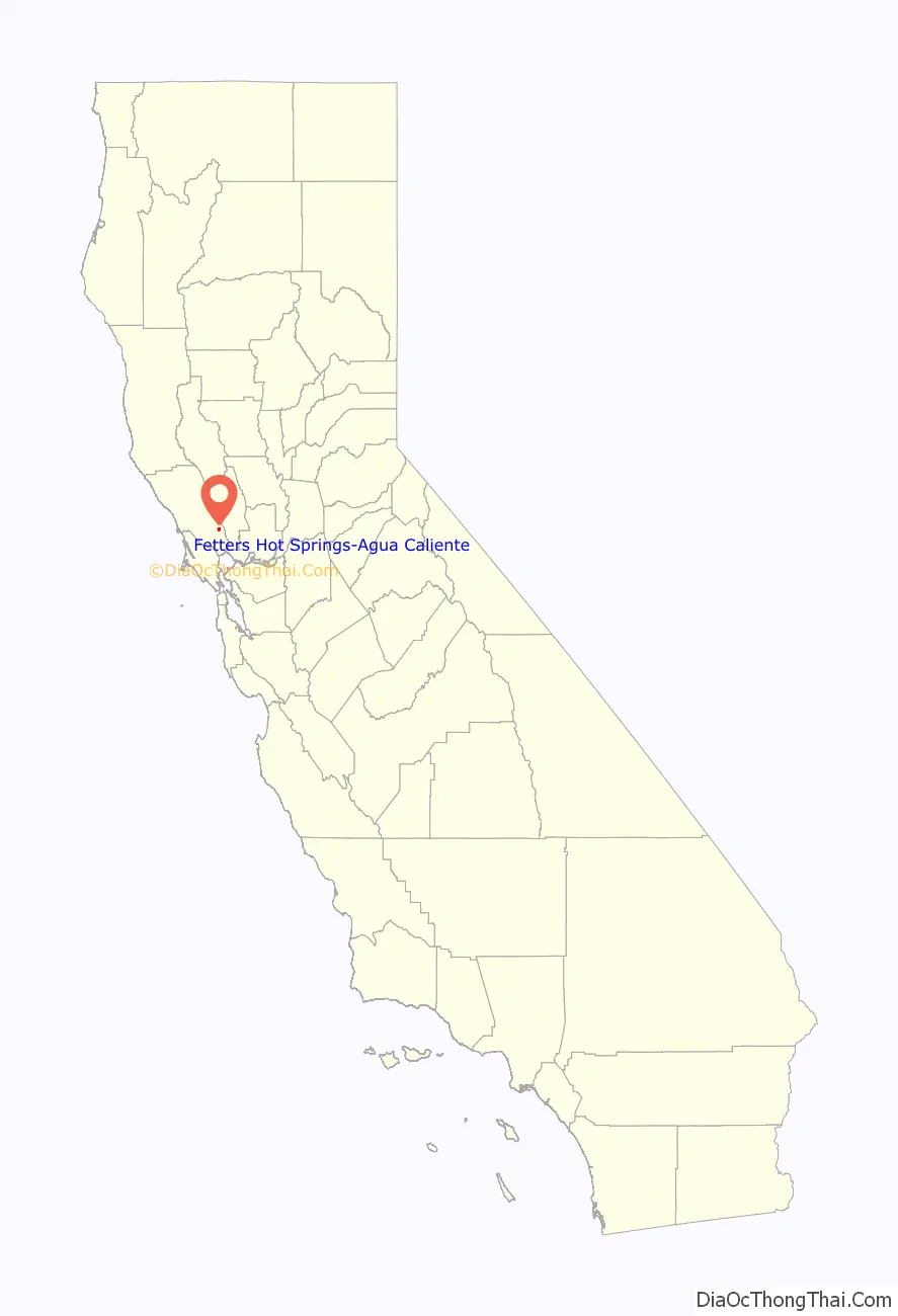
Fetters Hot Springs-Agua Caliente location map. Where is Fetters Hot Springs-Agua Caliente CDP?
History
The area was first occupied by Indigenous peoples who discovered and used the hot springs that the area is named after. The Mexican government deeded 50,000 acres to Lazaro Piña as Rancho Agua Caliente, a land grant 10 miles (16 km) long on the east side of Sonoma Creek, in 1840. In 1849 Thaddeus M. Leavenworth acquired 320 acres of the Rancho in what became present-day Agua Caliente, Fetters Hot Springs, Boyes Hot Springs, and part of Maxwell Farm. In 1889, property was being sold in the area as being near the “celebrated old Indian Medicine Spring.”
George and Emma Fetters opened the Fetters Hot Springs resort in 1908. Flamboyant restaurateur Juanita Musson opened her second Sonoma Valley restaurant in the old Fetters hotel around 1970, but it burned to the ground five years later. The land stood vacant for almost forty years until the Fetters Apartments, built as affordable housing for sixty families, opened in 2017.
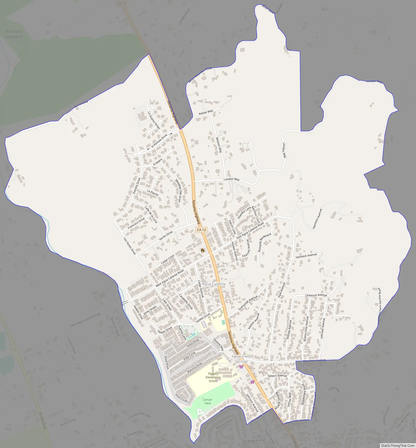
Fetters Hot Springs-Agua Caliente Road Map
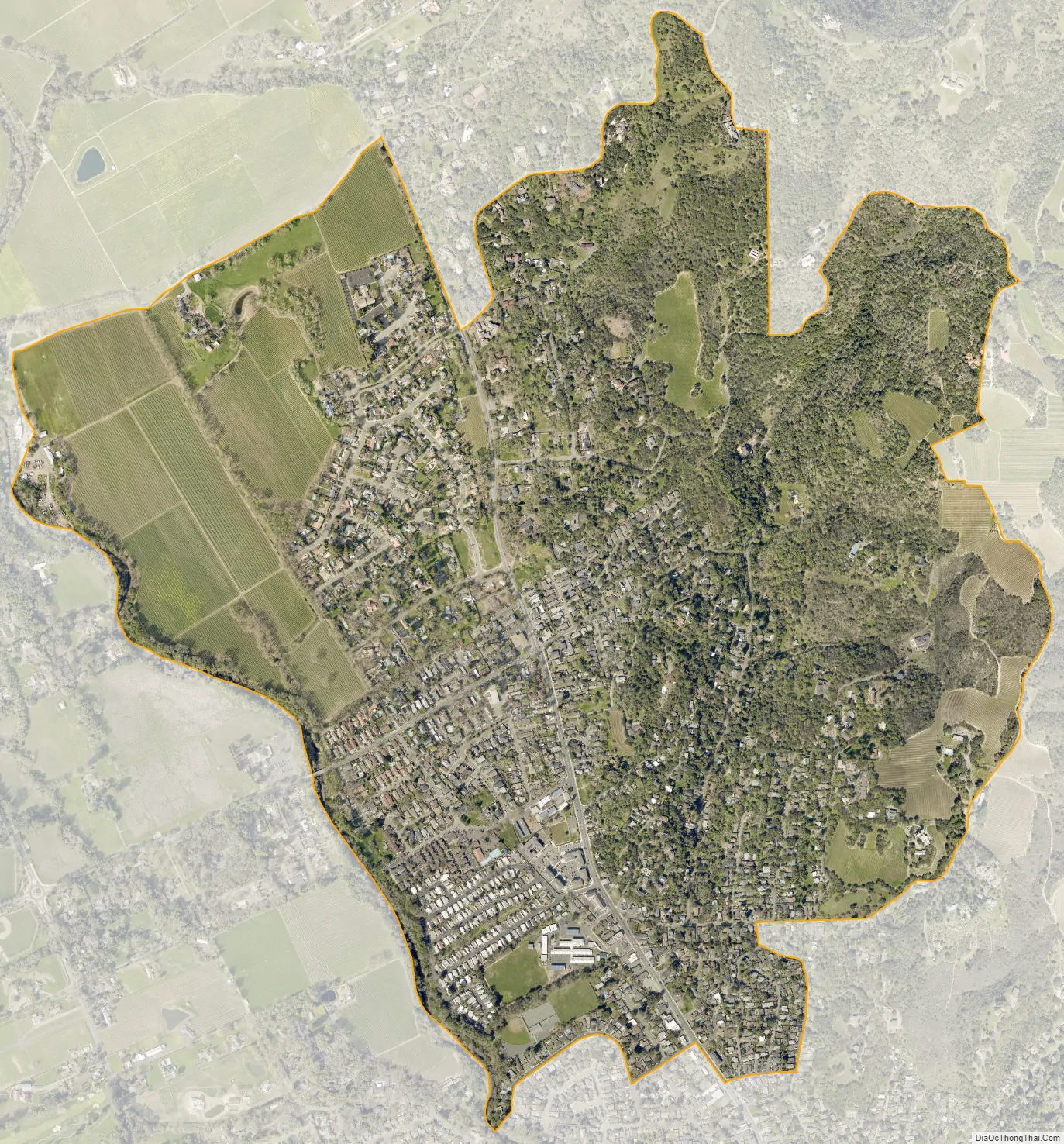
Fetters Hot Springs-Agua Caliente city Satellite Map
Geography
Generally considered separate from one another, Fetters Hot Springs and Agua Caliente are adjacent communities located along the Sonoma Highway (State Route 12), approximately 2.5 miles (4.0 km) northwest of Sonoma, California, and immediately north of Boyes Hot Springs and El Verano. Over time, the boundaries between these four communities became blurred and they are often grouped together and referred to collectively as “the Springs” area of Sonoma Valley.
As of the 2010 census, the CDP had a total area of 1.5 sq mi (3.9 km), all land.
See also
Map of California State and its subdivision:- Alameda
- Alpine
- Amador
- Butte
- Calaveras
- Colusa
- Contra Costa
- Del Norte
- El Dorado
- Fresno
- Glenn
- Humboldt
- Imperial
- Inyo
- Kern
- Kings
- Lake
- Lassen
- Los Angeles
- Madera
- Marin
- Mariposa
- Mendocino
- Merced
- Modoc
- Mono
- Monterey
- Napa
- Nevada
- Orange
- Placer
- Plumas
- Riverside
- Sacramento
- San Benito
- San Bernardino
- San Diego
- San Francisco
- San Joaquin
- San Luis Obispo
- San Mateo
- Santa Barbara
- Santa Clara
- Santa Cruz
- Shasta
- Sierra
- Siskiyou
- Solano
- Sonoma
- Stanislaus
- Sutter
- Tehama
- Trinity
- Tulare
- Tuolumne
- Ventura
- Yolo
- Yuba
- Alabama
- Alaska
- Arizona
- Arkansas
- California
- Colorado
- Connecticut
- Delaware
- District of Columbia
- Florida
- Georgia
- Hawaii
- Idaho
- Illinois
- Indiana
- Iowa
- Kansas
- Kentucky
- Louisiana
- Maine
- Maryland
- Massachusetts
- Michigan
- Minnesota
- Mississippi
- Missouri
- Montana
- Nebraska
- Nevada
- New Hampshire
- New Jersey
- New Mexico
- New York
- North Carolina
- North Dakota
- Ohio
- Oklahoma
- Oregon
- Pennsylvania
- Rhode Island
- South Carolina
- South Dakota
- Tennessee
- Texas
- Utah
- Vermont
- Virginia
- Washington
- West Virginia
- Wisconsin
- Wyoming


