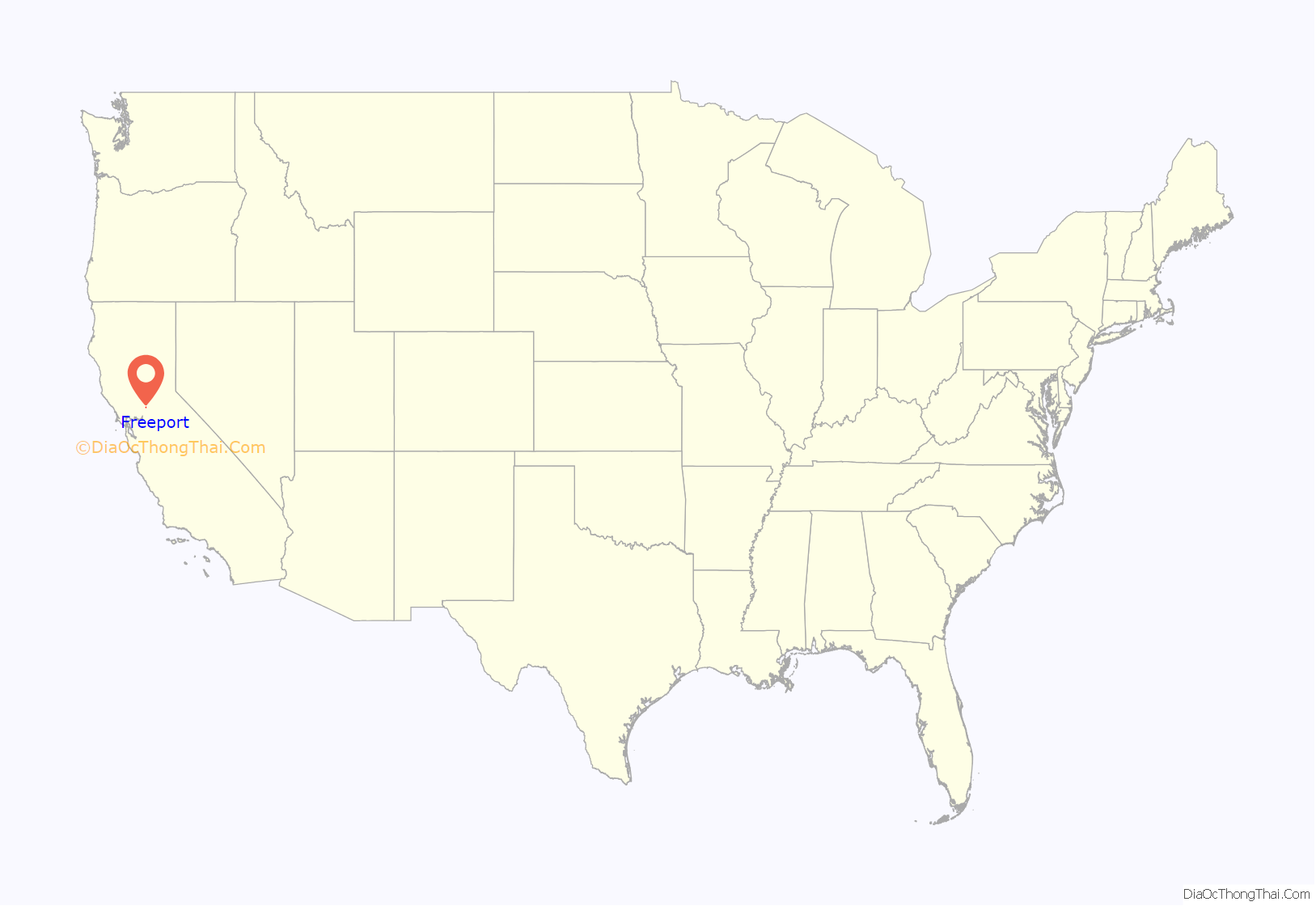
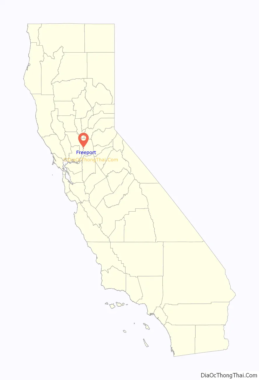
Freeport, California is a census-designated place located approximately 7.5 miles (12.1 km) south of downtown Sacramento on California State Route 160. Freeport lies on the eastern banks of the Sacramento River in Sacramento County. The population was 58 at the 2020 census.
| Name: | Freeport CDP |
|---|---|
| LSAD Code: | 57 |
| LSAD Description: | CDP (suffix) |
| State: | California |
| County: | Sacramento County |
| Elevation: | 18 ft (5.5 m) |
| Total Area: | 0.044 sq mi (0.115 km²) |
| Land Area: | 0.044 sq mi (0.115 km²) |
| Water Area: | 0 sq mi (0 km²) 0% |
| Total Population: | 58 |
| Population Density: | 1,300/sq mi (500/km²) |
| FIPS code: | 0625590 |
Online Interactive Map
Click on ![]() to view map in "full screen" mode.
to view map in "full screen" mode.
Freeport location map. Where is Freeport CDP?
History
Nearly all goods traveling to Sacramento and the California Gold Rush came by boat from the Bay Area. In the early 1860s businessmen grew tired of paying taxes at the Sacramento Embarcadero (port). In 1862 Freeport Railroad Company was created with the idea of building a new port that was free of taxes. Hence “Freeport.” The idea was to build a railway that bypassed Sacramento connecting with the Sacramento Valley Railroad at a midway point between Sacramento and Folsom. The newly formed town boomed for three years with populations reaching 300-400.
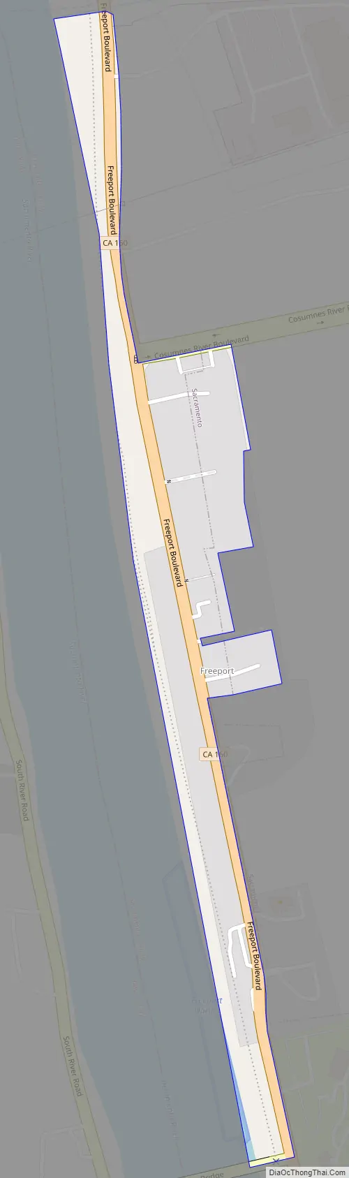
Freeport Road Map
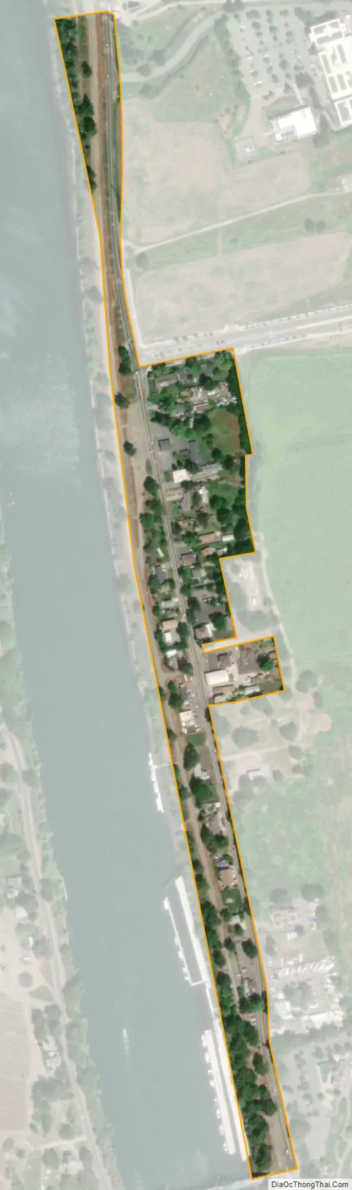
Freeport city Satellite Map
Geography
According to the United States Census Bureau, the CDP covers an area of 0.04 square miles (0.1 km), all of it land.
See also
Map of California State and its subdivision:- Alameda
- Alpine
- Amador
- Butte
- Calaveras
- Colusa
- Contra Costa
- Del Norte
- El Dorado
- Fresno
- Glenn
- Humboldt
- Imperial
- Inyo
- Kern
- Kings
- Lake
- Lassen
- Los Angeles
- Madera
- Marin
- Mariposa
- Mendocino
- Merced
- Modoc
- Mono
- Monterey
- Napa
- Nevada
- Orange
- Placer
- Plumas
- Riverside
- Sacramento
- San Benito
- San Bernardino
- San Diego
- San Francisco
- San Joaquin
- San Luis Obispo
- San Mateo
- Santa Barbara
- Santa Clara
- Santa Cruz
- Shasta
- Sierra
- Siskiyou
- Solano
- Sonoma
- Stanislaus
- Sutter
- Tehama
- Trinity
- Tulare
- Tuolumne
- Ventura
- Yolo
- Yuba
- Alabama
- Alaska
- Arizona
- Arkansas
- California
- Colorado
- Connecticut
- Delaware
- District of Columbia
- Florida
- Georgia
- Hawaii
- Idaho
- Illinois
- Indiana
- Iowa
- Kansas
- Kentucky
- Louisiana
- Maine
- Maryland
- Massachusetts
- Michigan
- Minnesota
- Mississippi
- Missouri
- Montana
- Nebraska
- Nevada
- New Hampshire
- New Jersey
- New Mexico
- New York
- North Carolina
- North Dakota
- Ohio
- Oklahoma
- Oregon
- Pennsylvania
- Rhode Island
- South Carolina
- South Dakota
- Tennessee
- Texas
- Utah
- Vermont
- Virginia
- Washington
- West Virginia
- Wisconsin
- Wyoming


