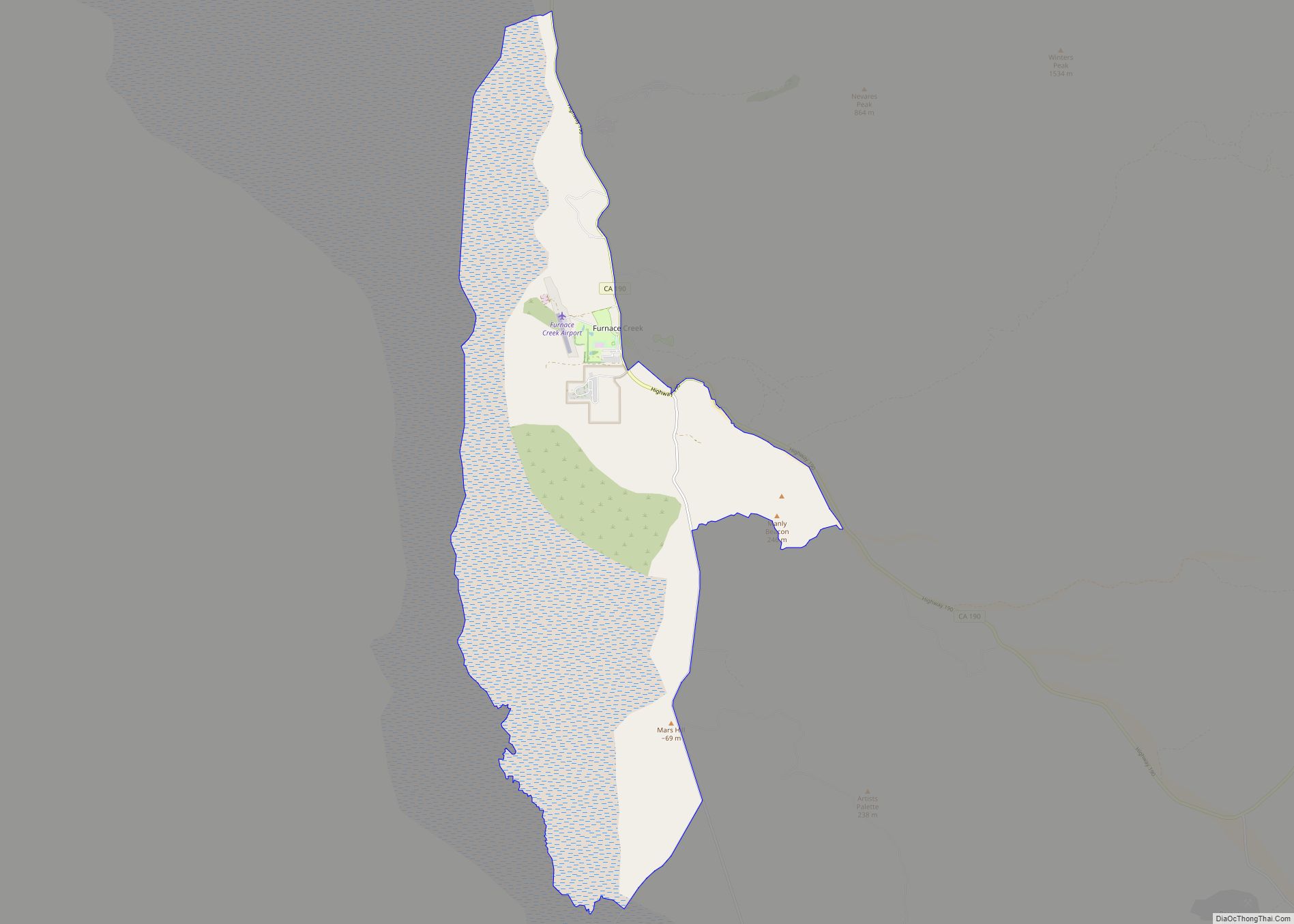
Furnace Creek is a census-designated place (CDP) in Inyo County, California, United States. The population was 136 at the 2020 census, up from 24 at the 2010 census. The elevation of the village is 190 feet (58 m) below sea level. Furnace Creek holds the record for the highest recorded air temperature on Earth at 134.1 °F (56.7 °C) on July 10, 1913. Furnace Creek also holds the record for the highest recorded natural ground surface temperature on Earth at 201.0 °F (93.9 °C) on July 15, 1972, and also holds some other temperature records.
The visitor center, museum, and headquarters of the Death Valley National Park are located at Furnace Creek.
| Name: | Furnace Creek CDP |
|---|---|
| LSAD Code: | 57 |
| LSAD Description: | CDP (suffix) |
| State: | California |
| County: | Inyo County |
| Elevation: | −190 ft (−60 m) |
| Total Area: | 31.463 sq mi (81.487 km²) |
| Land Area: | 31.203 sq mi (80.815 km²) |
| Water Area: | 0.260 sq mi (0.672 km²) 0.82% |
| Total Population: | 136 |
| ZIP code: | 92328 |
| FIPS code: | 0628021 |
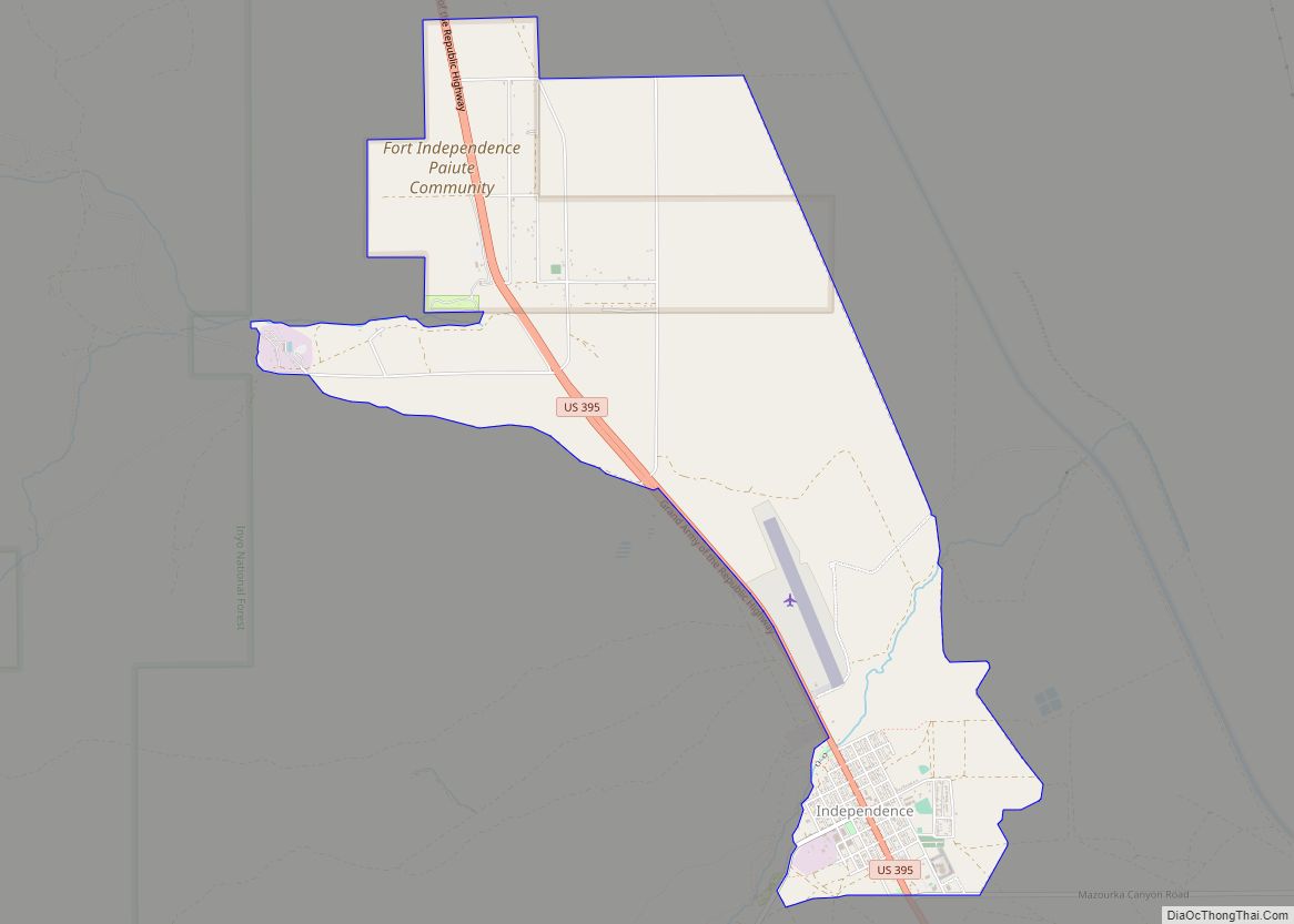
Online Interactive Map
Click on ![]() to view map in "full screen" mode.
to view map in "full screen" mode.
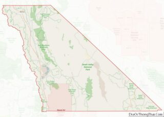
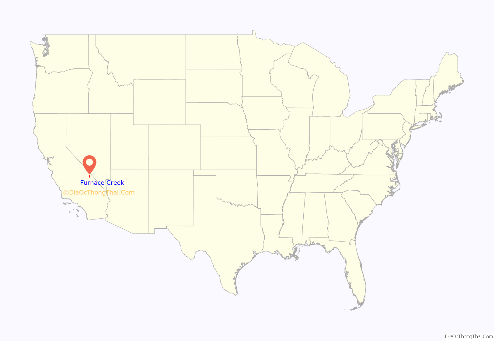
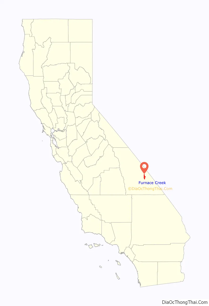
Furnace Creek location map. Where is Furnace Creek CDP?
History
The William Tell Coleman Borax Company established Greenland Ranch in 1883, named after the green alfalfa fields which they planted there. They established a weather station at the ranch in 1891. Greenland Ranch was renamed Furnace Creek Ranch in 1933.
The Timbisha tribe currently live at the Death Valley Indian Community reservation here. They provided many of the artisans and builders to construct the original Fred Harvey Company resort buildings, the Indian Village, and Park Service structures. They compose the majority of residents of Furnace Creek’s permanent population at the tribe’s reservation. Furnace Creek was formerly the center of Death Valley mining and operations for the Pacific Coast Borax Company and the historic 20 Mule Teams hauling wagon trains of borax across the Mojave Desert.
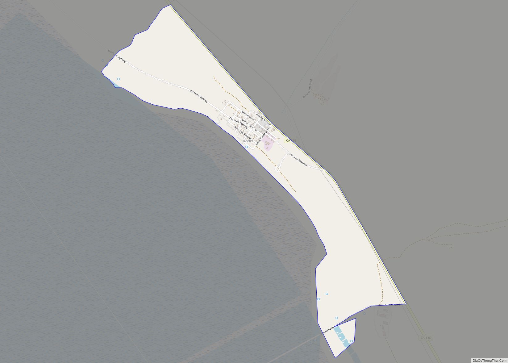
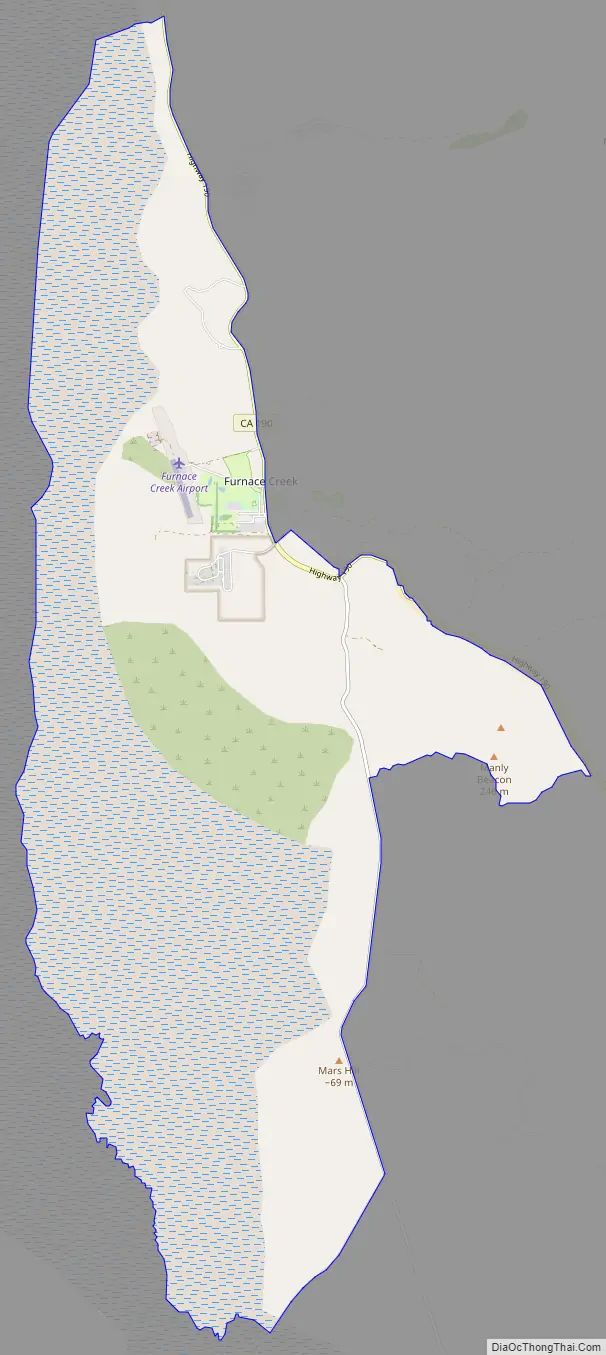
Furnace Creek Road Map
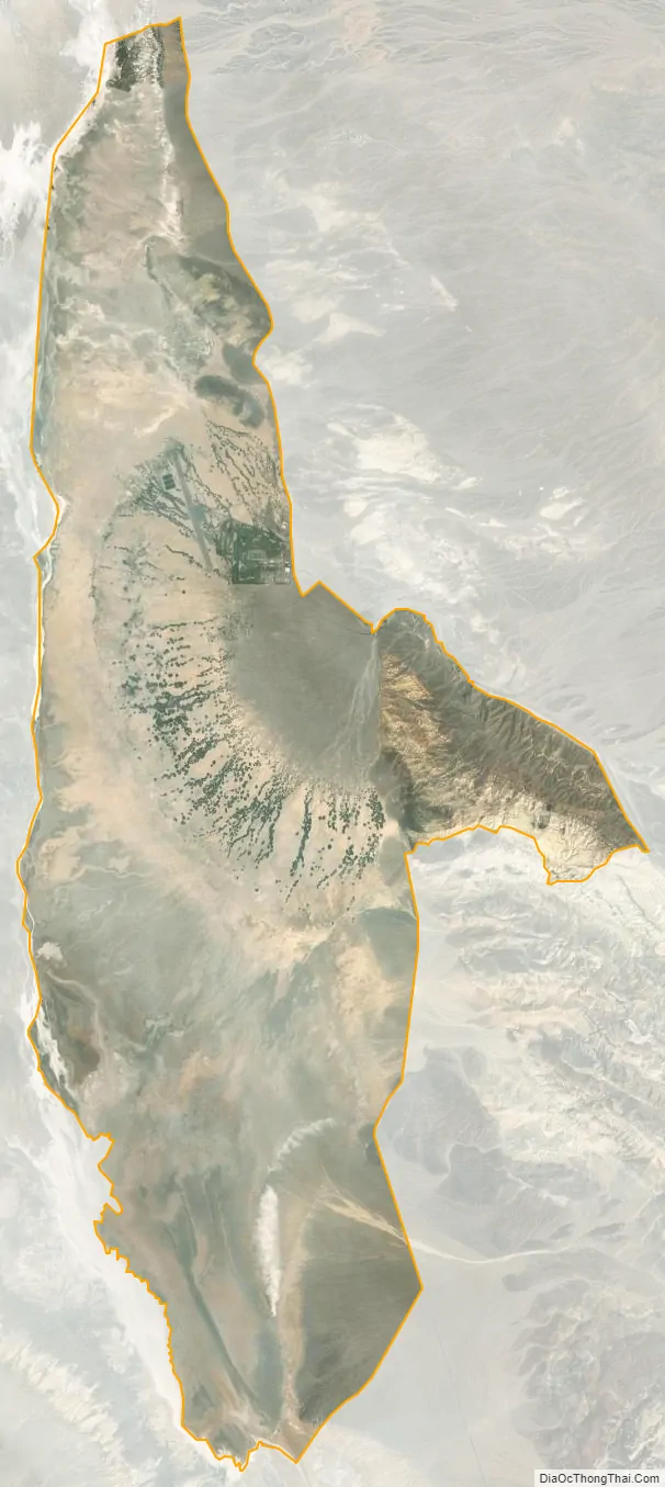
Furnace Creek city Satellite Map
Geography
According to the United States Census Bureau, Furnace Creek has a total area of 31.5 square miles (82 km), over 99% of it being land.
Springs in the Amargosa Range created a natural oasis at Furnace Creek, which has subsequently dwindled due to diversion of this water to support the village.
Summers are extraordinarily hot and long, while winter is very warm. Daytime temperatures range from roughly 65 °F (18 °C) in December to 116 °F (47 °C) in July, while overnight lows typically oscillate from 40 °F (4 °C) to 90 °F (32 °C). From 1911 through 2006, a period of 95 years, Furnace Creek had an average high temperature of 91.4 °F (33.0 °C) and an average low temperature of 62.9 °F (17.2 °C). During that time period, the hottest month was July, with an average daily high temperature of 116.5 °F (46.9 °C), and the driest month was June, with an average monthly precipitation of 0.05 in (1.3 mm). Furnace Creek holds the record for the most consecutive days above 120.0 °F (48.9 °C): 43 days, from 6 July through 17 August 1917. The average temperature of July 2018 was 108.1 °F (42.3 °C), which is the highest temperature of any month for any place in the world.
Furnace Creek holds the record for the highest recorded temperature in the world, reaching 134.1 °F (56.7 °C) on July 10, 1913. Some meteorologists dispute the accuracy of the 1913 temperature measurement.
In addition, a ground temperature of 201.0 °F (93.9 °C) was recorded in Furnace Creek on July 15, 1972; this may be the highest natural ground surface temperature ever recorded. (Temperatures measured directly on the ground may exceed air temperatures by 50 to 90 °F (30 to 50 °C).) The former world record for the highest overnight low temperature was 110.0 °F (43.3 °C), set on 5 July 1918, in Furnace Creek.
See also
Map of California State and its subdivision:- Alameda
- Alpine
- Amador
- Butte
- Calaveras
- Colusa
- Contra Costa
- Del Norte
- El Dorado
- Fresno
- Glenn
- Humboldt
- Imperial
- Inyo
- Kern
- Kings
- Lake
- Lassen
- Los Angeles
- Madera
- Marin
- Mariposa
- Mendocino
- Merced
- Modoc
- Mono
- Monterey
- Napa
- Nevada
- Orange
- Placer
- Plumas
- Riverside
- Sacramento
- San Benito
- San Bernardino
- San Diego
- San Francisco
- San Joaquin
- San Luis Obispo
- San Mateo
- Santa Barbara
- Santa Clara
- Santa Cruz
- Shasta
- Sierra
- Siskiyou
- Solano
- Sonoma
- Stanislaus
- Sutter
- Tehama
- Trinity
- Tulare
- Tuolumne
- Ventura
- Yolo
- Yuba
- Alabama
- Alaska
- Arizona
- Arkansas
- California
- Colorado
- Connecticut
- Delaware
- District of Columbia
- Florida
- Georgia
- Hawaii
- Idaho
- Illinois
- Indiana
- Iowa
- Kansas
- Kentucky
- Louisiana
- Maine
- Maryland
- Massachusetts
- Michigan
- Minnesota
- Mississippi
- Missouri
- Montana
- Nebraska
- Nevada
- New Hampshire
- New Jersey
- New Mexico
- New York
- North Carolina
- North Dakota
- Ohio
- Oklahoma
- Oregon
- Pennsylvania
- Rhode Island
- South Carolina
- South Dakota
- Tennessee
- Texas
- Utah
- Vermont
- Virginia
- Washington
- West Virginia
- Wisconsin
- Wyoming