Geyserville (formerly Clairville) is an unincorporated community and census-designated place (CDP) in Sonoma County, California, USA. Located in the Wine Country, Geyserville has a small selection of restaurants, bed and breakfasts, and wineries. Geyserville is located on California State Route 128, close to US Route 101. The population was 862 at the 2010 census.
| Name: | Geyserville CDP |
|---|---|
| LSAD Code: | 57 |
| LSAD Description: | CDP (suffix) |
| State: | California |
| County: | Sonoma County |
| Elevation: | 213 ft (65 m) |
| Total Area: | 4.588 sq mi (11.882 km²) |
| Land Area: | 4.588 sq mi (11.882 km²) |
| Water Area: | 0 sq mi (0 km²) 0% |
| Total Population: | 862 |
| Population Density: | 190/sq mi (73/km²) |
| ZIP code: | 95441 |
| Area code: | 707 |
| FIPS code: | 0629420 |
| GNISfeature ID: | 224138 |
Online Interactive Map
Click on ![]() to view map in "full screen" mode.
to view map in "full screen" mode.
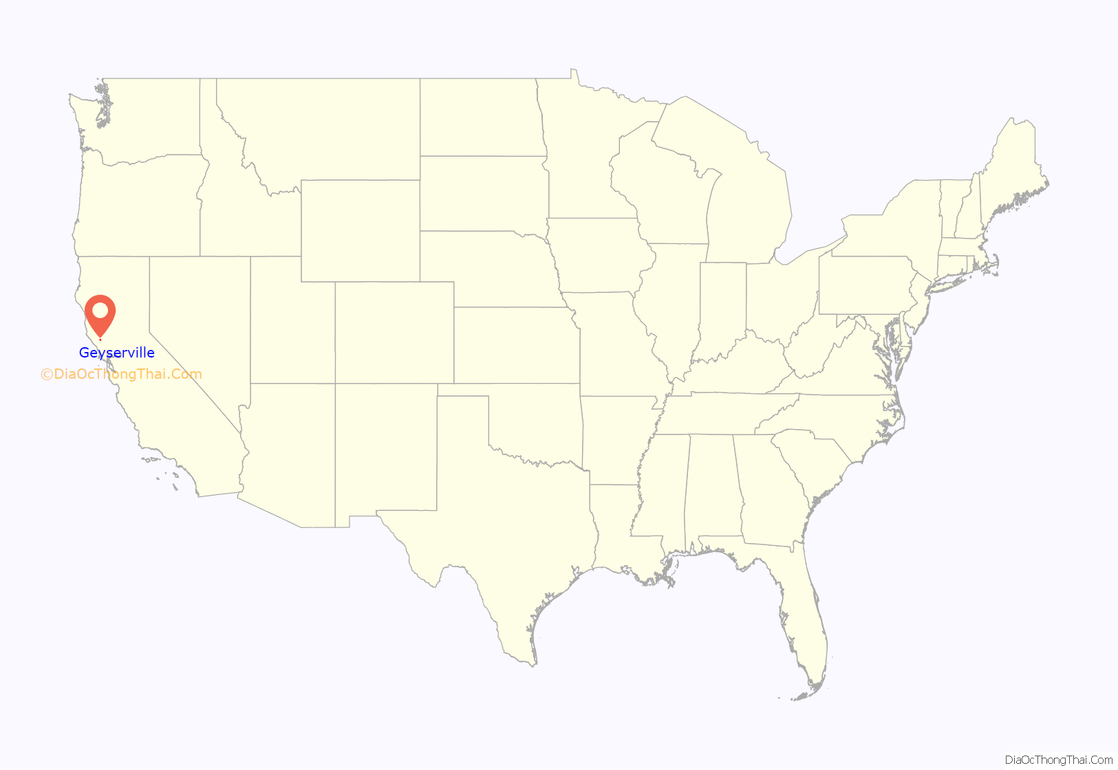
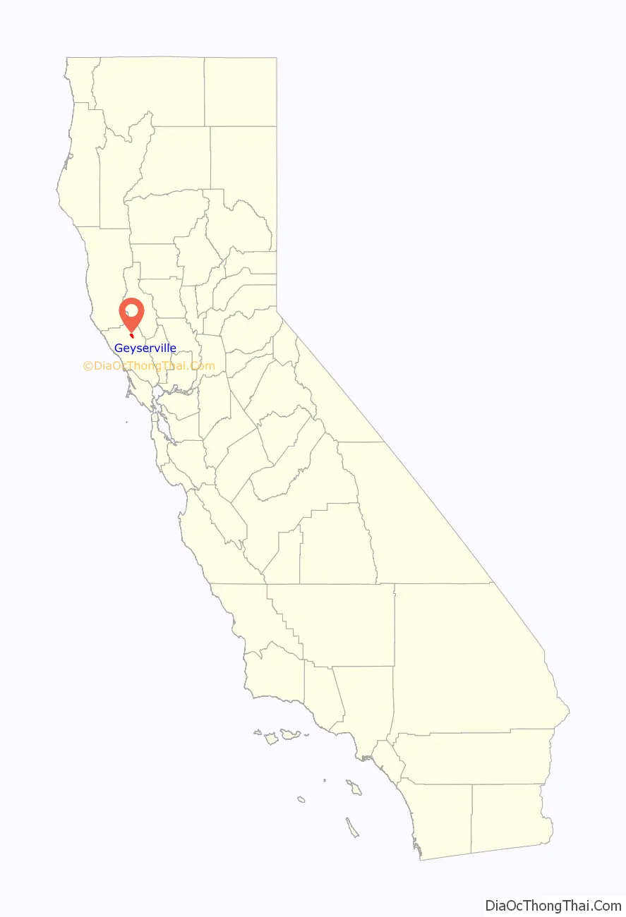
Geyserville location map. Where is Geyserville CDP?
History
Geyserville, located on the Rancho Tzabaco Mexican land grant, owes its foundation to the discovery in 1847 of a series of hot springs, fumaroles, and steam vents in a gorge in the mountains of Sonoma County, California, between Calistoga and Cloverdale. This complex, which became known as The Geysers, soon became a tourist attraction, and a settlement grew up to provide accommodation and serve as a gateway to The Geysers. It was initially known as Clairville but subsequently renamed Geyserville. After the San Francisco and North Pacific Railroad was extended to Cloverdale in the 1870s, its trains stopped in Geyserville.
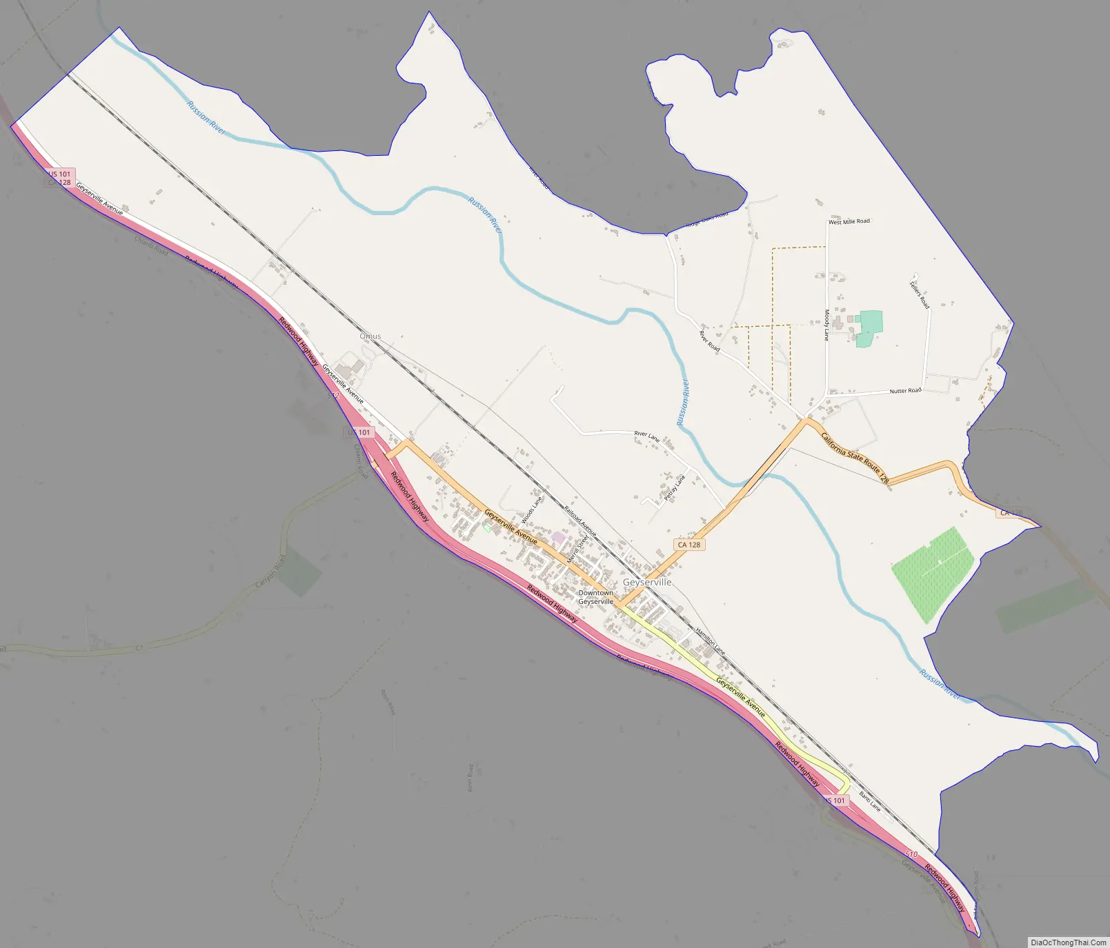
Geyserville Road Map
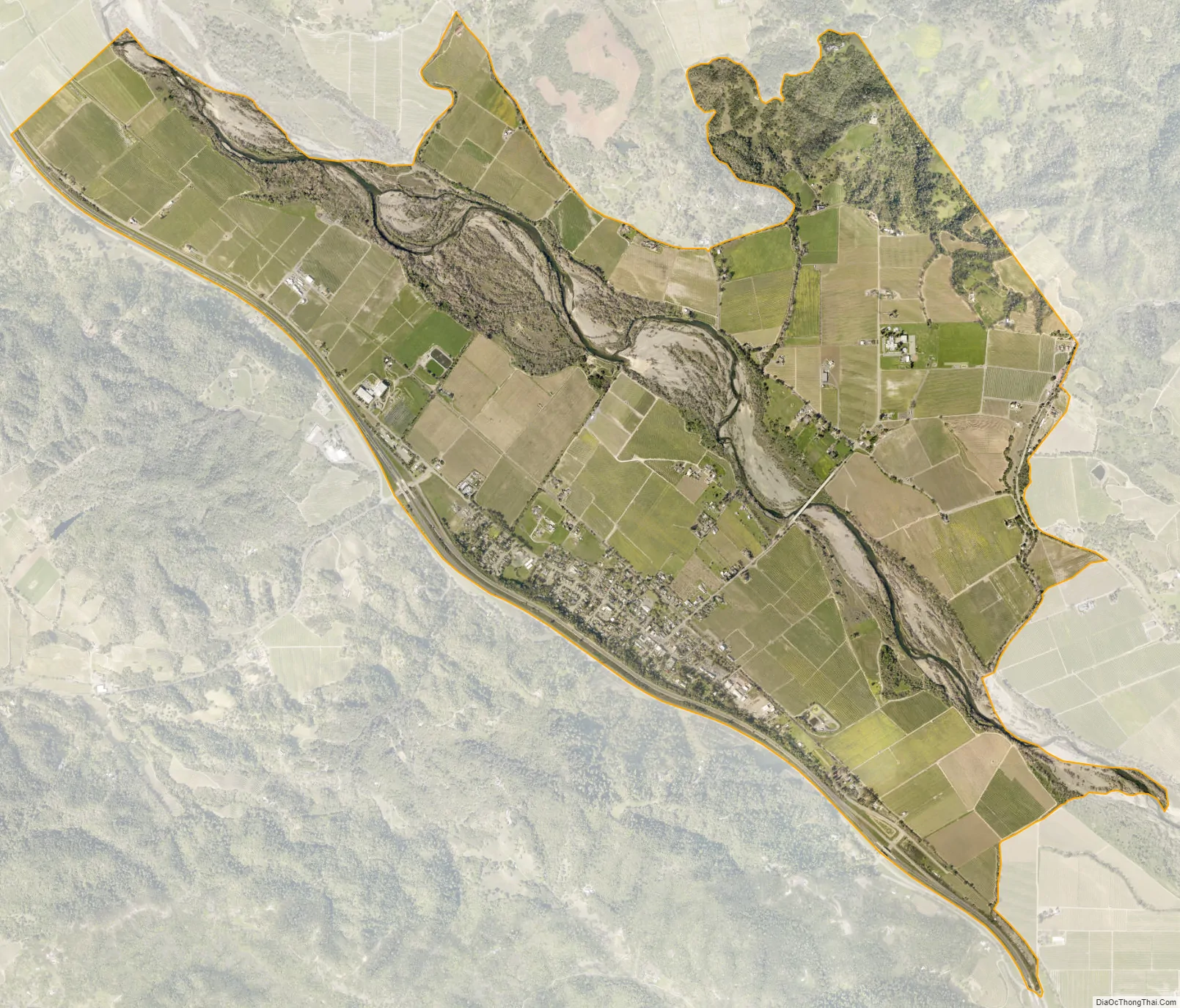
Geyserville city Satellite Map
Geography
According to the United States Census Bureau, the CDP covers an area of 4.6 square miles (11.9 km), all of it land.
See also
Map of California State and its subdivision:- Alameda
- Alpine
- Amador
- Butte
- Calaveras
- Colusa
- Contra Costa
- Del Norte
- El Dorado
- Fresno
- Glenn
- Humboldt
- Imperial
- Inyo
- Kern
- Kings
- Lake
- Lassen
- Los Angeles
- Madera
- Marin
- Mariposa
- Mendocino
- Merced
- Modoc
- Mono
- Monterey
- Napa
- Nevada
- Orange
- Placer
- Plumas
- Riverside
- Sacramento
- San Benito
- San Bernardino
- San Diego
- San Francisco
- San Joaquin
- San Luis Obispo
- San Mateo
- Santa Barbara
- Santa Clara
- Santa Cruz
- Shasta
- Sierra
- Siskiyou
- Solano
- Sonoma
- Stanislaus
- Sutter
- Tehama
- Trinity
- Tulare
- Tuolumne
- Ventura
- Yolo
- Yuba
- Alabama
- Alaska
- Arizona
- Arkansas
- California
- Colorado
- Connecticut
- Delaware
- District of Columbia
- Florida
- Georgia
- Hawaii
- Idaho
- Illinois
- Indiana
- Iowa
- Kansas
- Kentucky
- Louisiana
- Maine
- Maryland
- Massachusetts
- Michigan
- Minnesota
- Mississippi
- Missouri
- Montana
- Nebraska
- Nevada
- New Hampshire
- New Jersey
- New Mexico
- New York
- North Carolina
- North Dakota
- Ohio
- Oklahoma
- Oregon
- Pennsylvania
- Rhode Island
- South Carolina
- South Dakota
- Tennessee
- Texas
- Utah
- Vermont
- Virginia
- Washington
- West Virginia
- Wisconsin
- Wyoming


