Glen Ellen is a census-designated place (CDP) in Sonoma Valley, Sonoma County, California, United States. The population was 784 at the 2010 census, down from 992 at the 2000 census. Glen Ellen is the location of Jack London State Historic Park (including the Wolf House), Sonoma Valley Regional Park, and a former home of Hunter S. Thompson.
The whole of Glen Ellen was severely damaged by the Nuns Fire during the October 2017 Northern California wildfires.
| Name: | Glen Ellen CDP |
|---|---|
| LSAD Code: | 57 |
| LSAD Description: | CDP (suffix) |
| State: | California |
| County: | Sonoma County |
| Elevation: | 253 ft (77 m) |
| Total Area: | 2.103 sq mi (5.448 km²) |
| Land Area: | 2.102 sq mi (5.445 km²) |
| Water Area: | 0.001 sq mi (0.003 km²) 0.05% |
| Total Population: | 784 |
| Population Density: | 370/sq mi (140/km²) |
| ZIP code: | 95442 |
| Area code: | 707 |
| FIPS code: | 0630028 |
| GNISfeature ID: | 277524 |
Online Interactive Map
Click on ![]() to view map in "full screen" mode.
to view map in "full screen" mode.
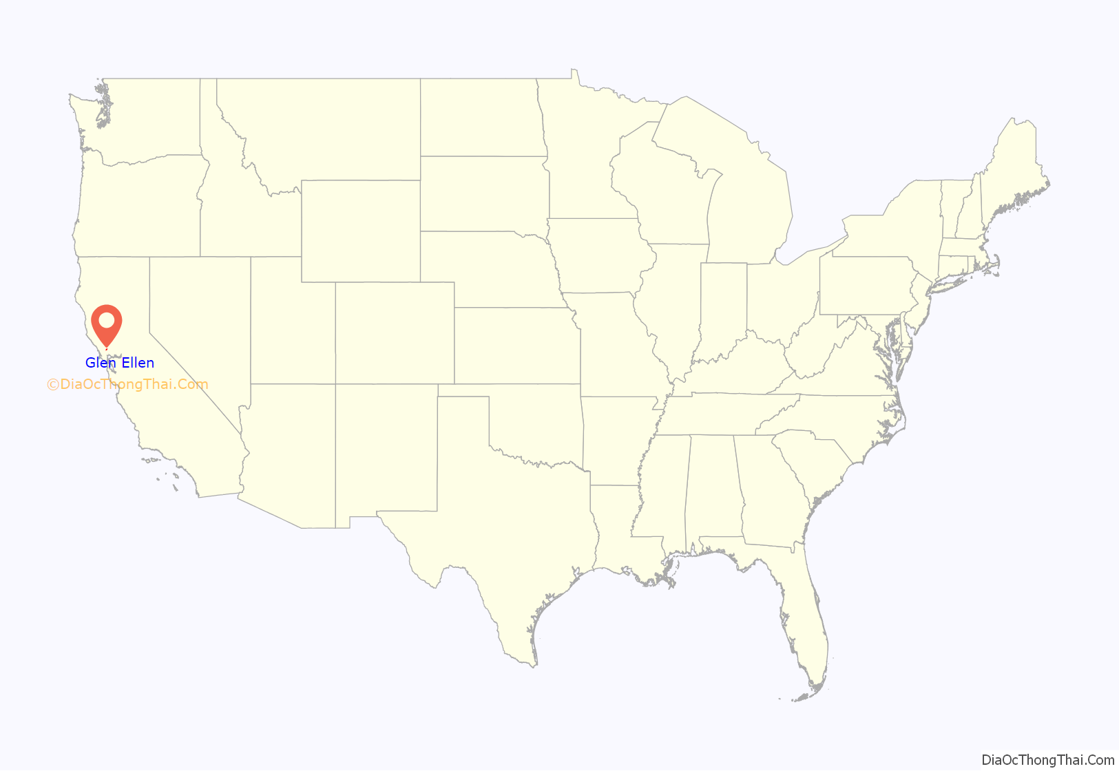
Glen Ellen location map. Where is Glen Ellen CDP?
History
In 1859, Charles V. Stuart purchased a part of the Rancho Agua Caliente land grant and in 1868 began building a house there, eventually establishing a 1,000-acre (4.0 km) vineyard he named Glen Ellen after his wife. The town that grew up around the vineyard also came to be called Glen Ellen, and Stuart’s home was later renamed Glen Oaks Ranch.
In October 2017, the area was badly affected by wildfire.
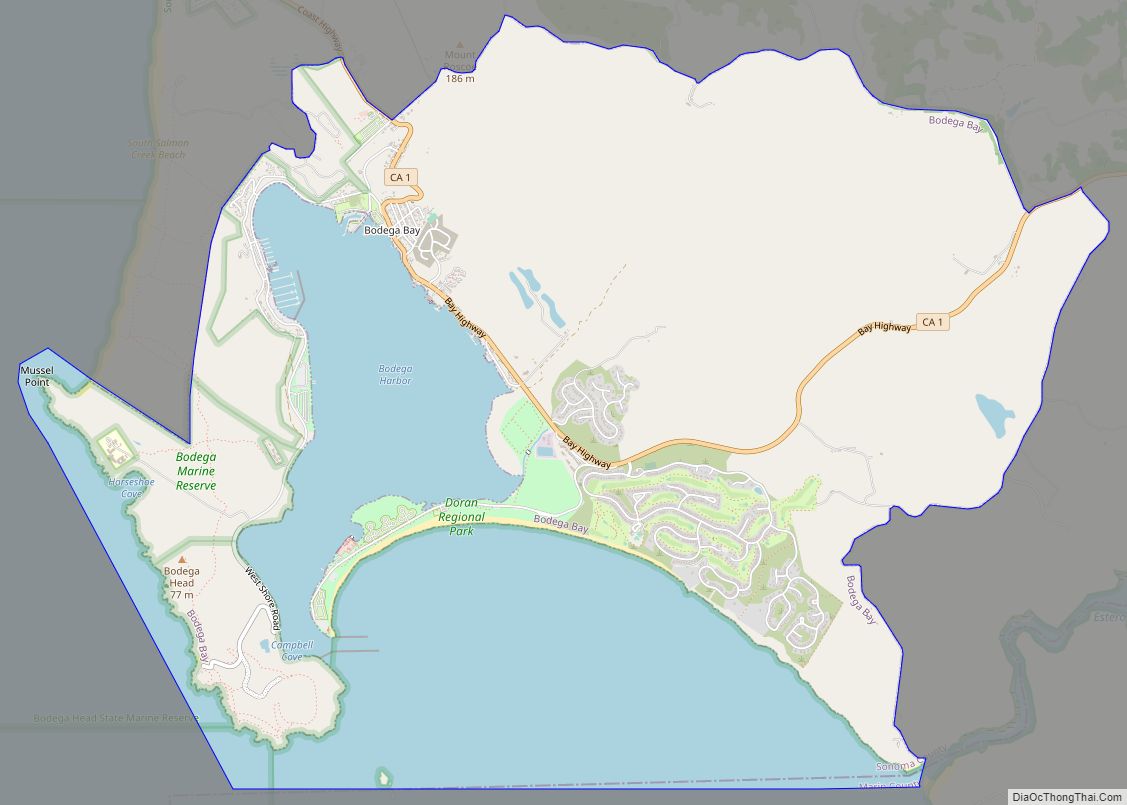
Glen Ellen Road Map
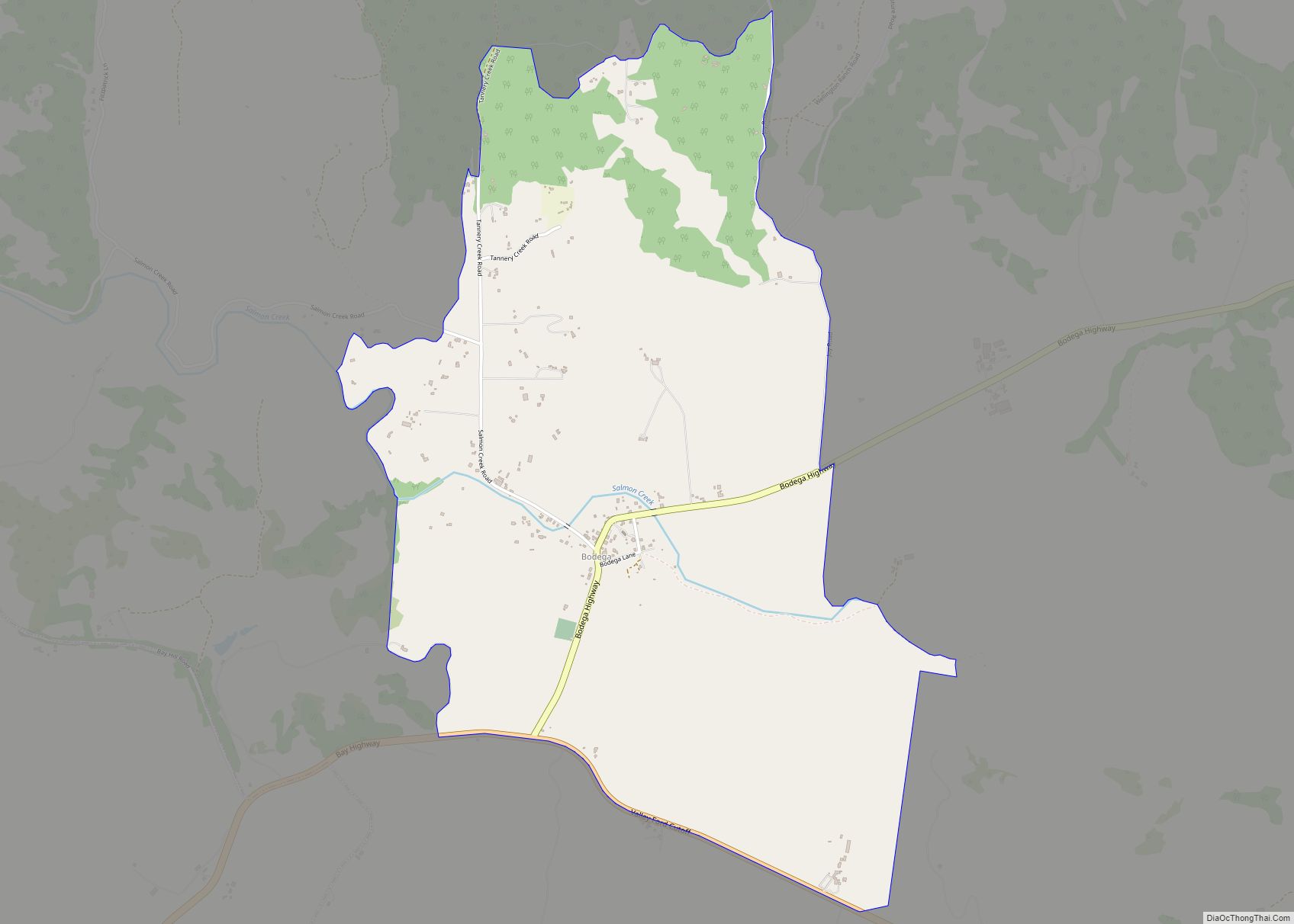
Glen Ellen city Satellite Map
Geography
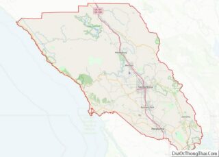
Glen Ellen is about 6 miles (9.7 km) northwest of the city of Sonoma. The United States Census Bureau fixes the total area at 2.1 square miles (5.4 km), 99.95% of it land and 0.05% covered by water. Sonoma Creek, the principal river of the Sonoma Valley, flows through Glen Ellen.
See also
Map of California State and its subdivision:- Alameda
- Alpine
- Amador
- Butte
- Calaveras
- Colusa
- Contra Costa
- Del Norte
- El Dorado
- Fresno
- Glenn
- Humboldt
- Imperial
- Inyo
- Kern
- Kings
- Lake
- Lassen
- Los Angeles
- Madera
- Marin
- Mariposa
- Mendocino
- Merced
- Modoc
- Mono
- Monterey
- Napa
- Nevada
- Orange
- Placer
- Plumas
- Riverside
- Sacramento
- San Benito
- San Bernardino
- San Diego
- San Francisco
- San Joaquin
- San Luis Obispo
- San Mateo
- Santa Barbara
- Santa Clara
- Santa Cruz
- Shasta
- Sierra
- Siskiyou
- Solano
- Sonoma
- Stanislaus
- Sutter
- Tehama
- Trinity
- Tulare
- Tuolumne
- Ventura
- Yolo
- Yuba
- Alabama
- Alaska
- Arizona
- Arkansas
- California
- Colorado
- Connecticut
- Delaware
- District of Columbia
- Florida
- Georgia
- Hawaii
- Idaho
- Illinois
- Indiana
- Iowa
- Kansas
- Kentucky
- Louisiana
- Maine
- Maryland
- Massachusetts
- Michigan
- Minnesota
- Mississippi
- Missouri
- Montana
- Nebraska
- Nevada
- New Hampshire
- New Jersey
- New Mexico
- New York
- North Carolina
- North Dakota
- Ohio
- Oklahoma
- Oregon
- Pennsylvania
- Rhode Island
- South Carolina
- South Dakota
- Tennessee
- Texas
- Utah
- Vermont
- Virginia
- Washington
- West Virginia
- Wisconsin
- Wyoming
