Gonzales is a city in Monterey County, California, United States. Gonzales is located 16 miles (26 km) southeast of Salinas, at an elevation of 135 feet (41 m). The population was 8,647 at the 2020 census, up from 8,187 at the 2010 census. Gonzales is a member of the Association of Monterey Bay Area Governments. Gonzales won the Culture of Health Prize from the Robert Wood Johnson Foundation in 2019.
| Name: | Gonzales city |
|---|---|
| LSAD Code: | 25 |
| LSAD Description: | city (suffix) |
| State: | California |
| County: | Monterey County |
| Incorporated: | January 14, 1947 |
| Elevation: | 135 ft (41 m) |
| Total Area: | 1.95 sq mi (5.1 km²) |
| Land Area: | 1.91 sq mi (4.9 km²) |
| Water Area: | 0.04 sq mi (0.1 km²) 1.95% |
| Total Population: | 8,647 |
| Population Density: | 4,527.2/sq mi (1,748.0/km²) |
| ZIP code: | 93926 |
| Area code: | 831 |
| FIPS code: | 0630392 |
| GNISfeature ID: | 1659726 |
| Website: | www.gonzalesca.gov |
Online Interactive Map
Click on ![]() to view map in "full screen" mode.
to view map in "full screen" mode.
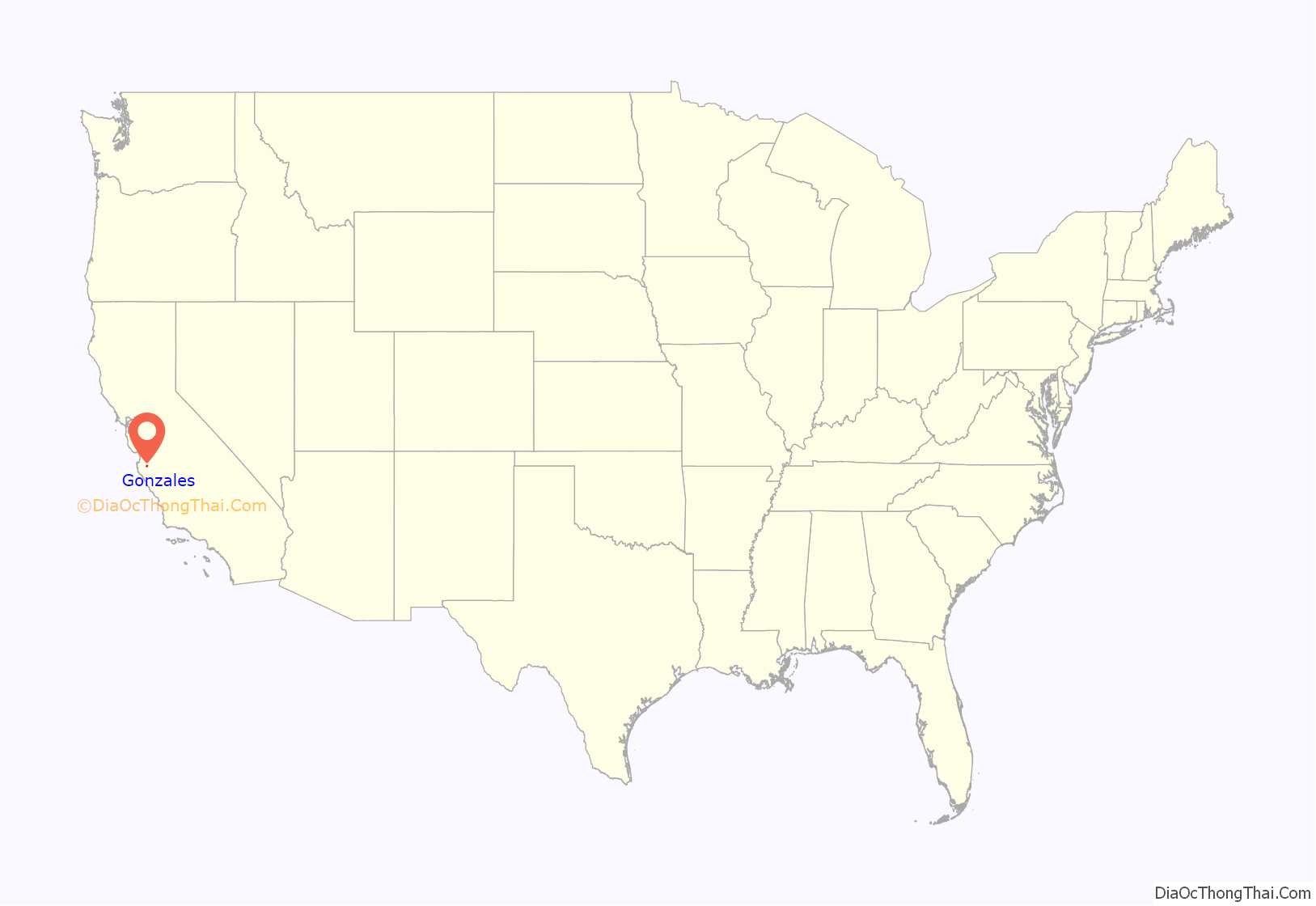
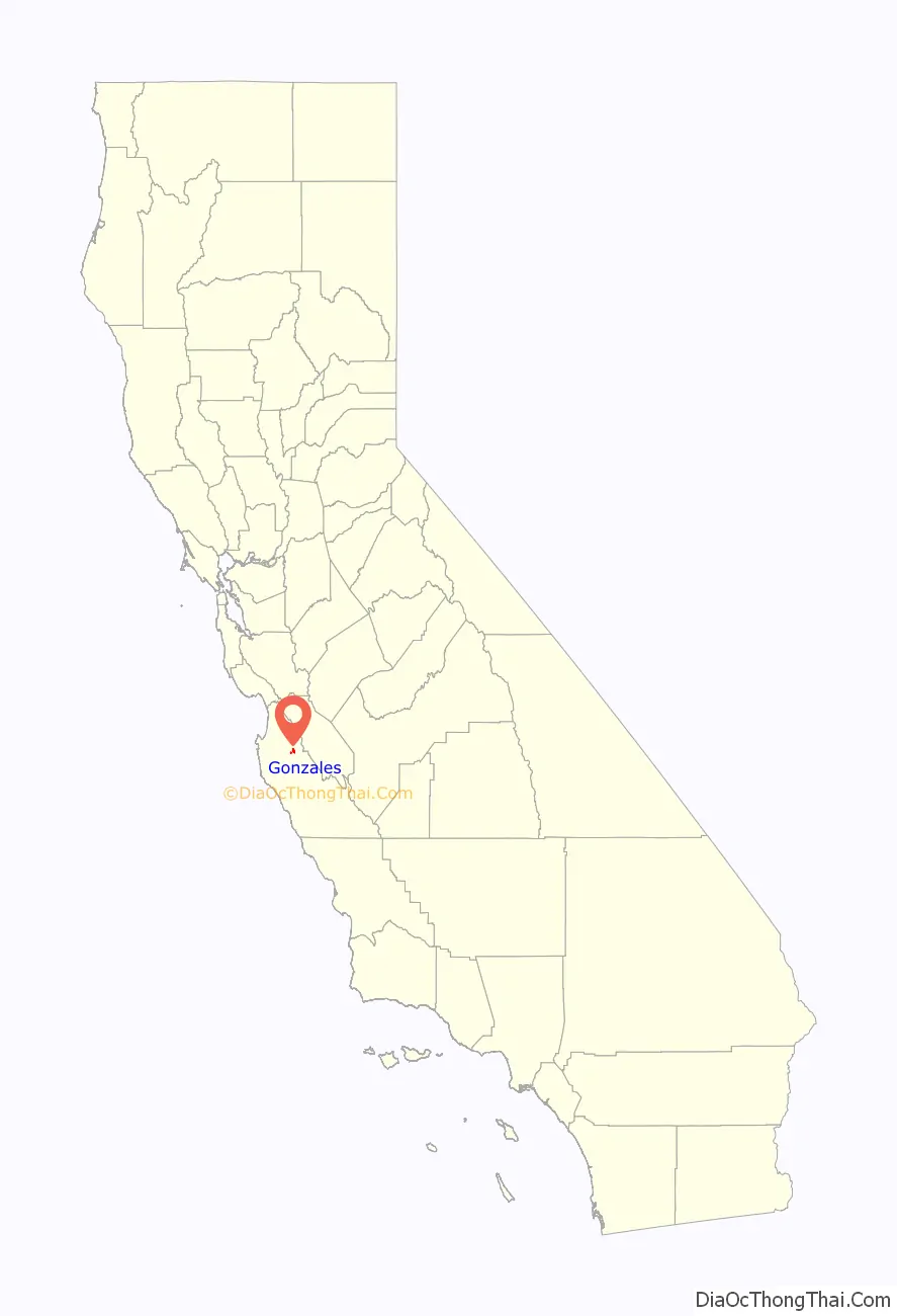
Gonzales location map. Where is Gonzales city?
History
Gonzales was founded by Dr. Mariano Gonzalez and his brother Alfredo Gonzales on land that was originally Rancho Rincon de la Puente del Monte. The rancho was given to their father, Teodoro Gonzalez, in 1836 while he was serving as alcalde of Monterey.
The brothers laid out the 50-block town on approximately 15,000 acres (6,100 ha) in 1874 in a grid of northeast to southwest and northwest to southeast streets. In 1872, they granted a 100 feet (30 m) right-of-way through town to Southern Pacific Railroad, which subsequently built a depot for freight and passengers. The dominant commerce at the time was grain raising and cattle ranching. The Gonzalez brothers are also credited with constructing one of the first irrigation systems in the Salinas Valley. They built a dam and head gate on the nearby Salinas River and miles of canals throughout the area.
In the early 1900s, Gonzales became a predominantly Swiss dairy community when John B. Meyenberg brought his original milk processing procedures to the region. His Alpine Milk Company, later known as the Meyenberg Milk Products Company, opened its first plant in Gonzales in 1906. At one time, there were 7,000 cows within five miles of town being milked.
Prior to being nicknamed the “Wine Capital of Monterey County”, Gonzales was known as “The Heart of the Salad Bowl” (due to its central location in the agricultural valley). Before that it was nicknamed “Little Switzerland” (due to the similarities of the valley landscape to Switzerland as well as the predominantly Swiss community at the time).
Dairy farming gave way to orchards and row crops in the 1920s and prospered due to the rich soil and advancements in irrigation, machinery and transportation facilities. These improvements to agriculture technology turned the Salinas Valley into the nation’s premier agricultural center. Today, there is only one dairy farm left near town.
The first school house was built in 1874. The first church, the Gonzales Baptist Church, was built in 1884 and still holds weekly worship services today.
St. Theodore Catholic Church, named for Teodoro Gonzales, was built in 1883.
The town was officially incorporated January 10, 1947.
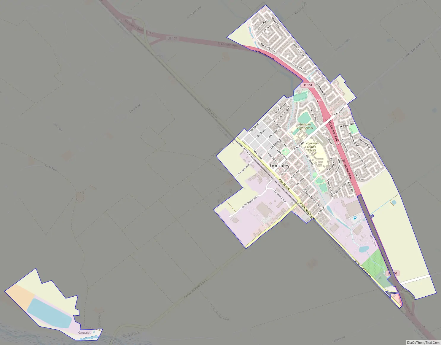
Gonzales Road Map
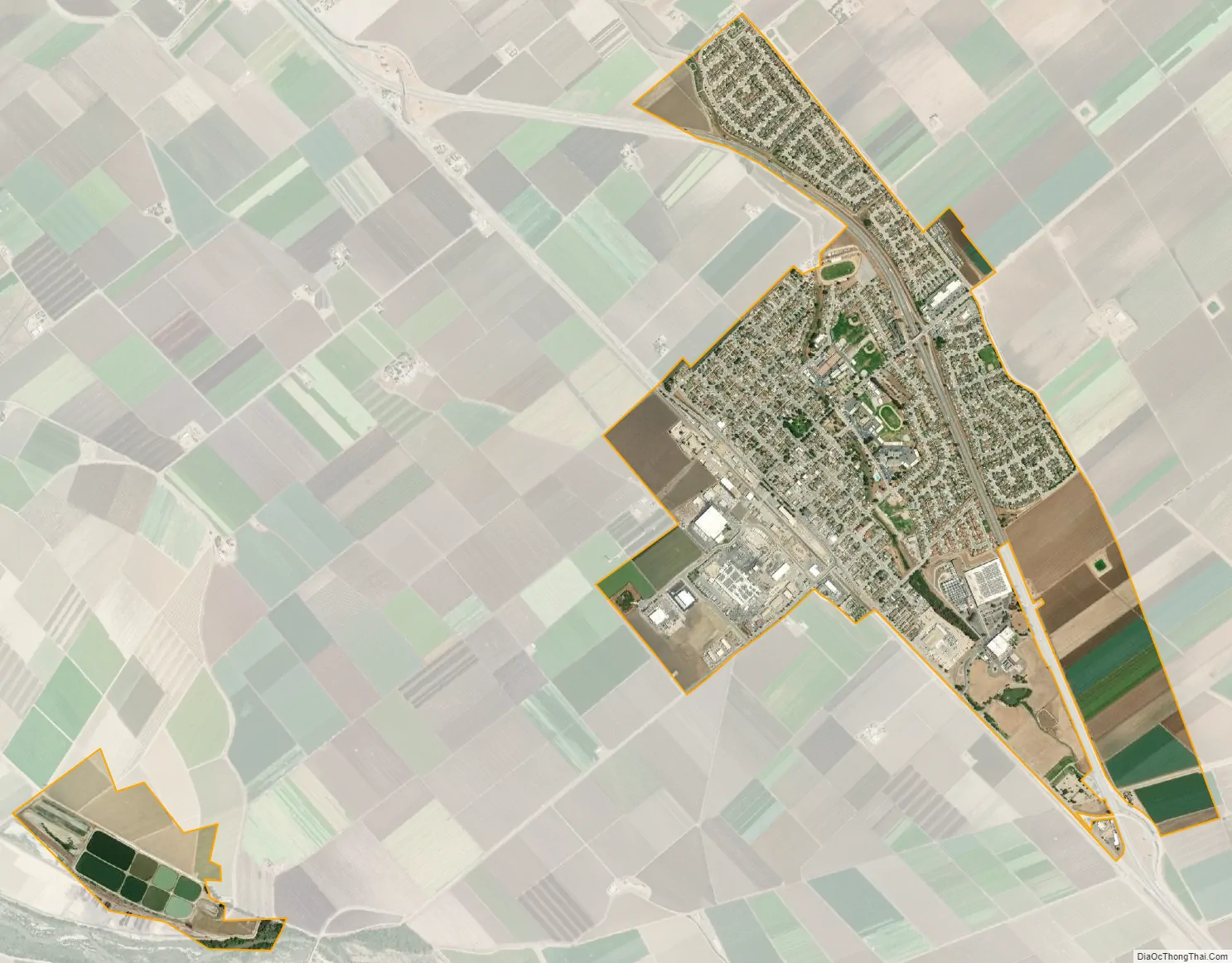
Gonzales city Satellite Map
Geography
Gonzales is located in northern Monterey County at 36°30′24″N 121°26′40″W / 36.50667°N 121.44444°W / 36.50667; -121.44444, in the Salinas Valley. U.S. Route 101 passes through the northeast side of the city, with access from three exits. US 101 leads northwest 17 miles (27 km) to Salinas, the county seat, and southeast 8 miles (13 km) to Soledad.
According to the United States Census Bureau, Gonzales has a total area of 1.95 square miles (5.1 km), of which 0.04 square miles (0.10 km), or 1.95%, are water.
See also
Map of California State and its subdivision:- Alameda
- Alpine
- Amador
- Butte
- Calaveras
- Colusa
- Contra Costa
- Del Norte
- El Dorado
- Fresno
- Glenn
- Humboldt
- Imperial
- Inyo
- Kern
- Kings
- Lake
- Lassen
- Los Angeles
- Madera
- Marin
- Mariposa
- Mendocino
- Merced
- Modoc
- Mono
- Monterey
- Napa
- Nevada
- Orange
- Placer
- Plumas
- Riverside
- Sacramento
- San Benito
- San Bernardino
- San Diego
- San Francisco
- San Joaquin
- San Luis Obispo
- San Mateo
- Santa Barbara
- Santa Clara
- Santa Cruz
- Shasta
- Sierra
- Siskiyou
- Solano
- Sonoma
- Stanislaus
- Sutter
- Tehama
- Trinity
- Tulare
- Tuolumne
- Ventura
- Yolo
- Yuba
- Alabama
- Alaska
- Arizona
- Arkansas
- California
- Colorado
- Connecticut
- Delaware
- District of Columbia
- Florida
- Georgia
- Hawaii
- Idaho
- Illinois
- Indiana
- Iowa
- Kansas
- Kentucky
- Louisiana
- Maine
- Maryland
- Massachusetts
- Michigan
- Minnesota
- Mississippi
- Missouri
- Montana
- Nebraska
- Nevada
- New Hampshire
- New Jersey
- New Mexico
- New York
- North Carolina
- North Dakota
- Ohio
- Oklahoma
- Oregon
- Pennsylvania
- Rhode Island
- South Carolina
- South Dakota
- Tennessee
- Texas
- Utah
- Vermont
- Virginia
- Washington
- West Virginia
- Wisconsin
- Wyoming


