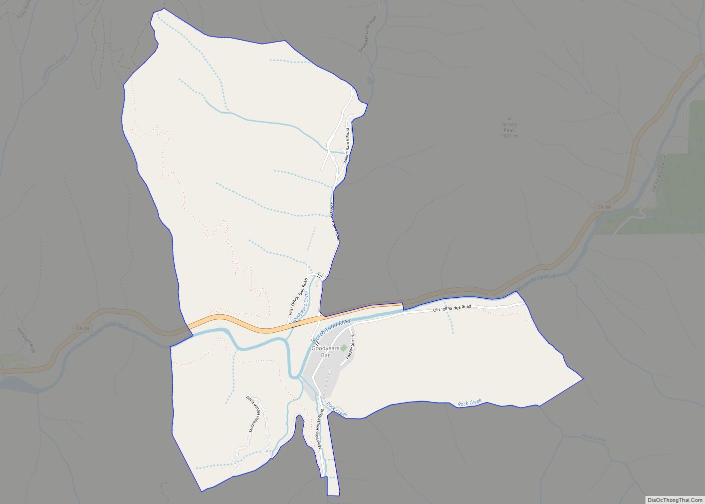
Goodyears Bar, known as Slaughter’s Bar before 1851, is a census-designated place (CDP) in Sierra County, California, United States. Goodyears Bar is located along the North Yuba River and California State Route 49 3.25 miles (5.23 km) west-southwest of Downieville. Goodyears Bar has a post office with ZIP code 95944. The post office opened in 1851.
| Name: | Goodyears Bar CDP |
|---|---|
| LSAD Code: | 57 |
| LSAD Description: | CDP (suffix) |
| State: | California |
| County: | Sierra County |
| Elevation: | 2,674 ft (815 m) |
| Total Area: | 2.067 sq mi (5.352 km²) |
| Land Area: | 2.050 sq mi (5.309 km²) |
| Water Area: | 0.017 sq mi (0.043 km²) 0.81% |
| Total Population: | 68 |
| Population Density: | 33/sq mi (13/km²) |
| ZIP code: | 95944 |
| Area code: | 530 |
| FIPS code: | 0630420 |
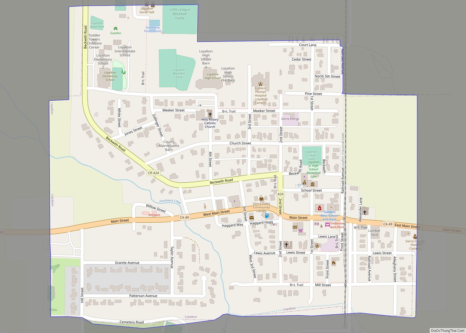
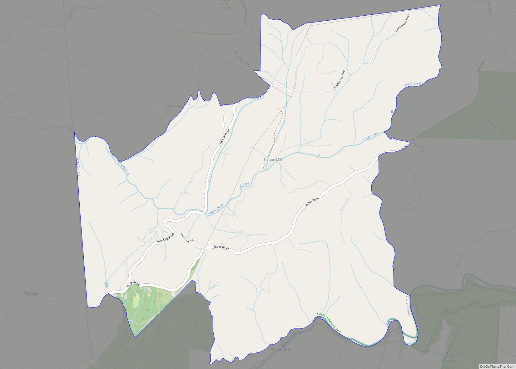
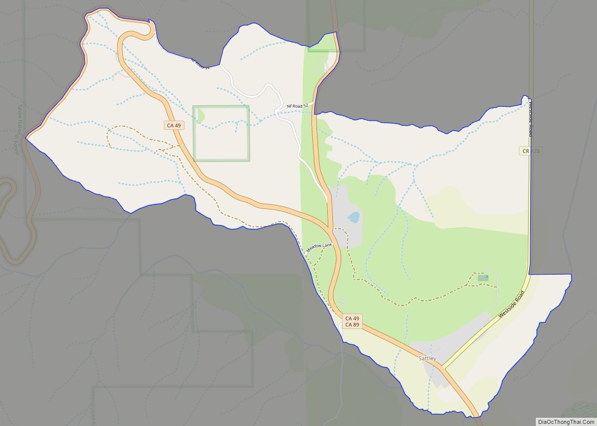
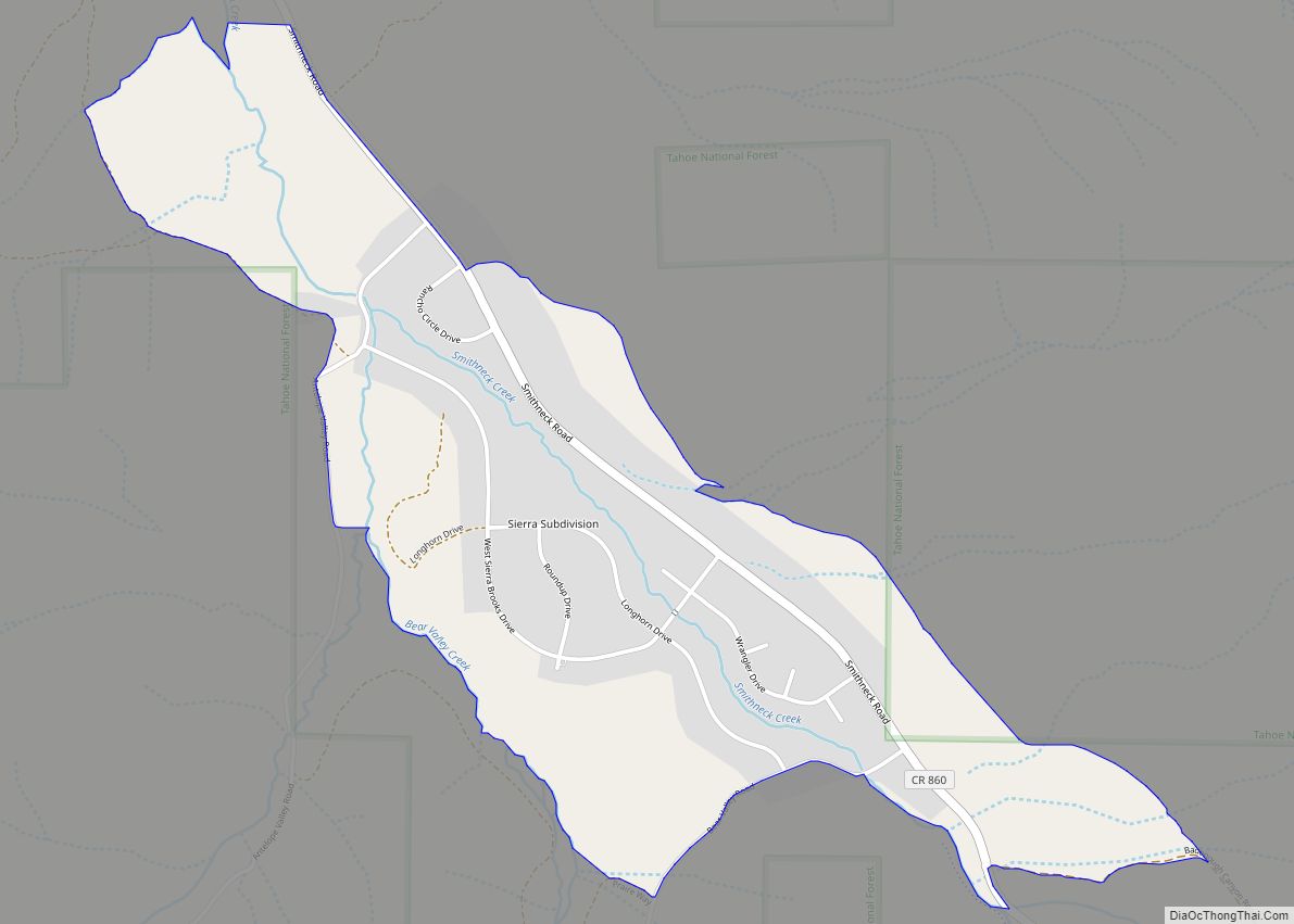
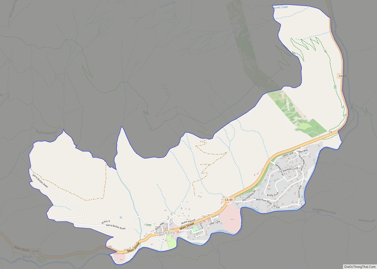
Online Interactive Map
Click on ![]() to view map in "full screen" mode.
to view map in "full screen" mode.
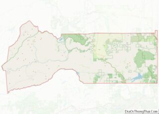
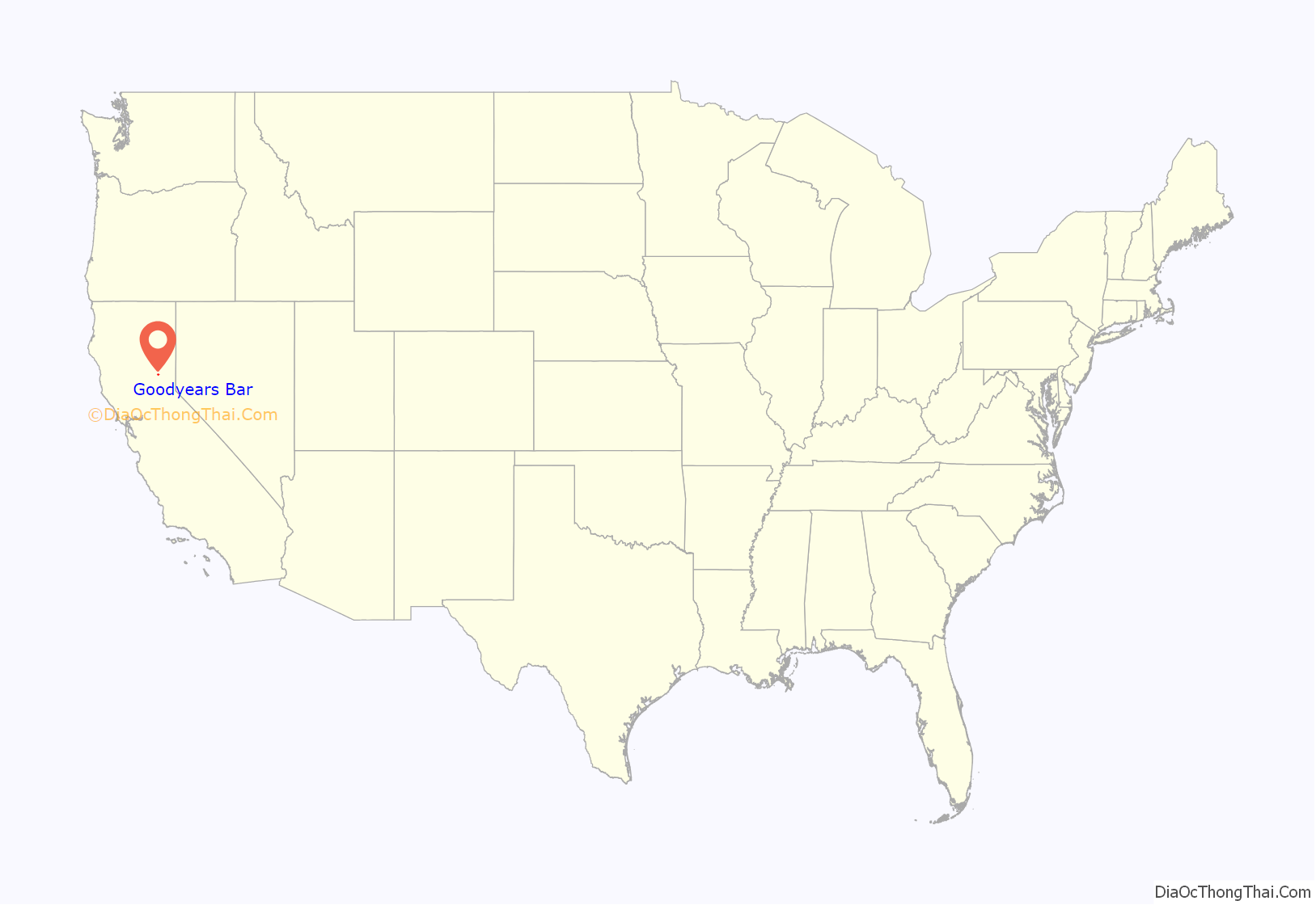
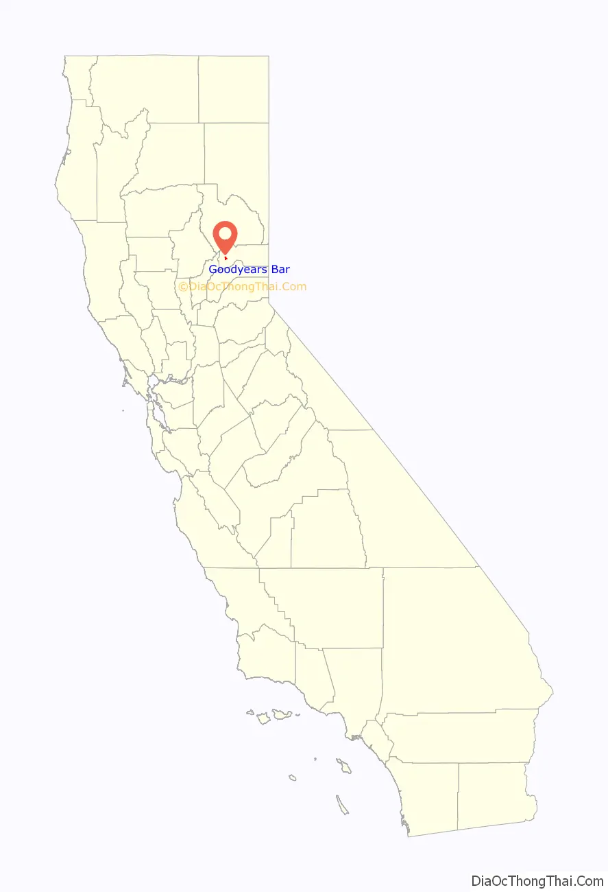
Goodyears Bar location map. Where is Goodyears Bar CDP?
History
Goodyears Bar is a historic gold mining camp. Gold was discovered here by the brothers Miles and Andrew Goodyear, along with a Dr. Vaughan and a Mr. Morrison in 1849. It was given the name Goodyears Bar in honor of its founders. The Goodyear boys built a cabin there. Miners prospected gold on the Goodyears Creek. A post office was established on October 7, 1851 with Mr. Woodruff as the first Postmaster. The first school was begun in 1856 with Mrs. Massey as the first teacher.
Folk singer Kate Wolf is buried in Goodyears Bar.
Goodyears Bar Road Map
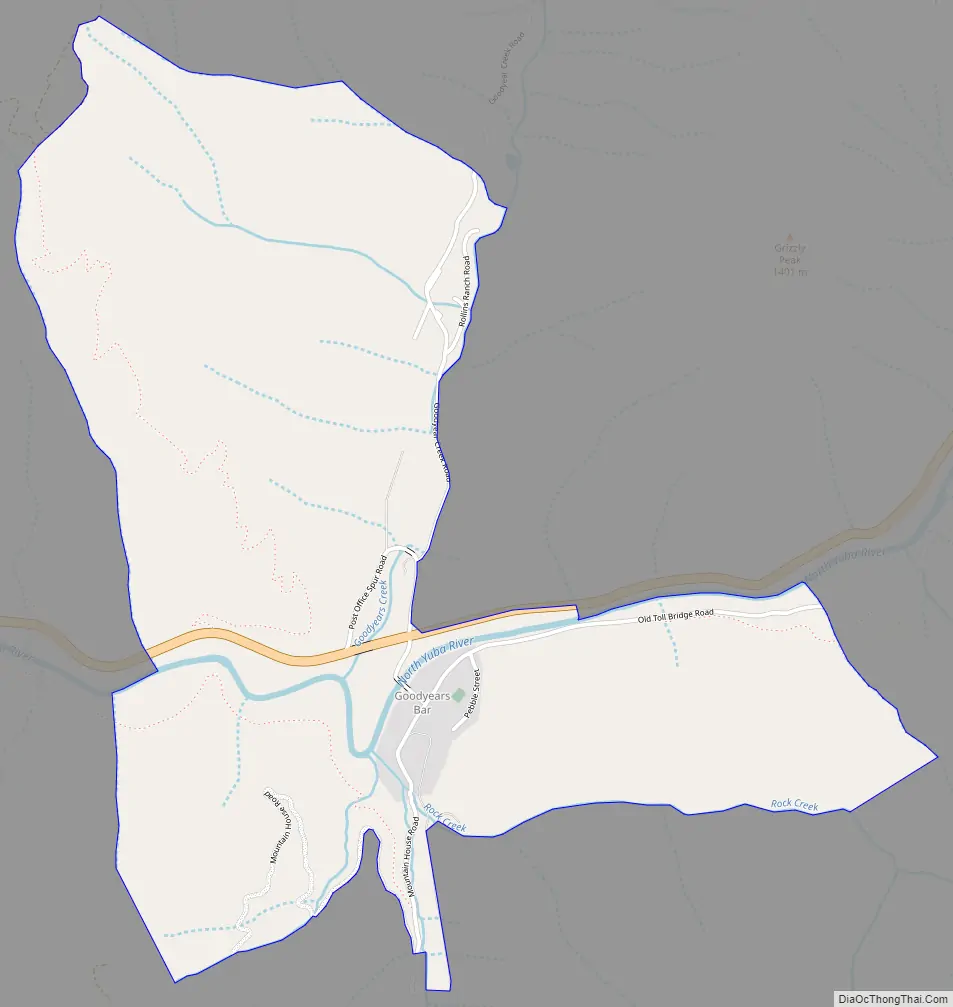
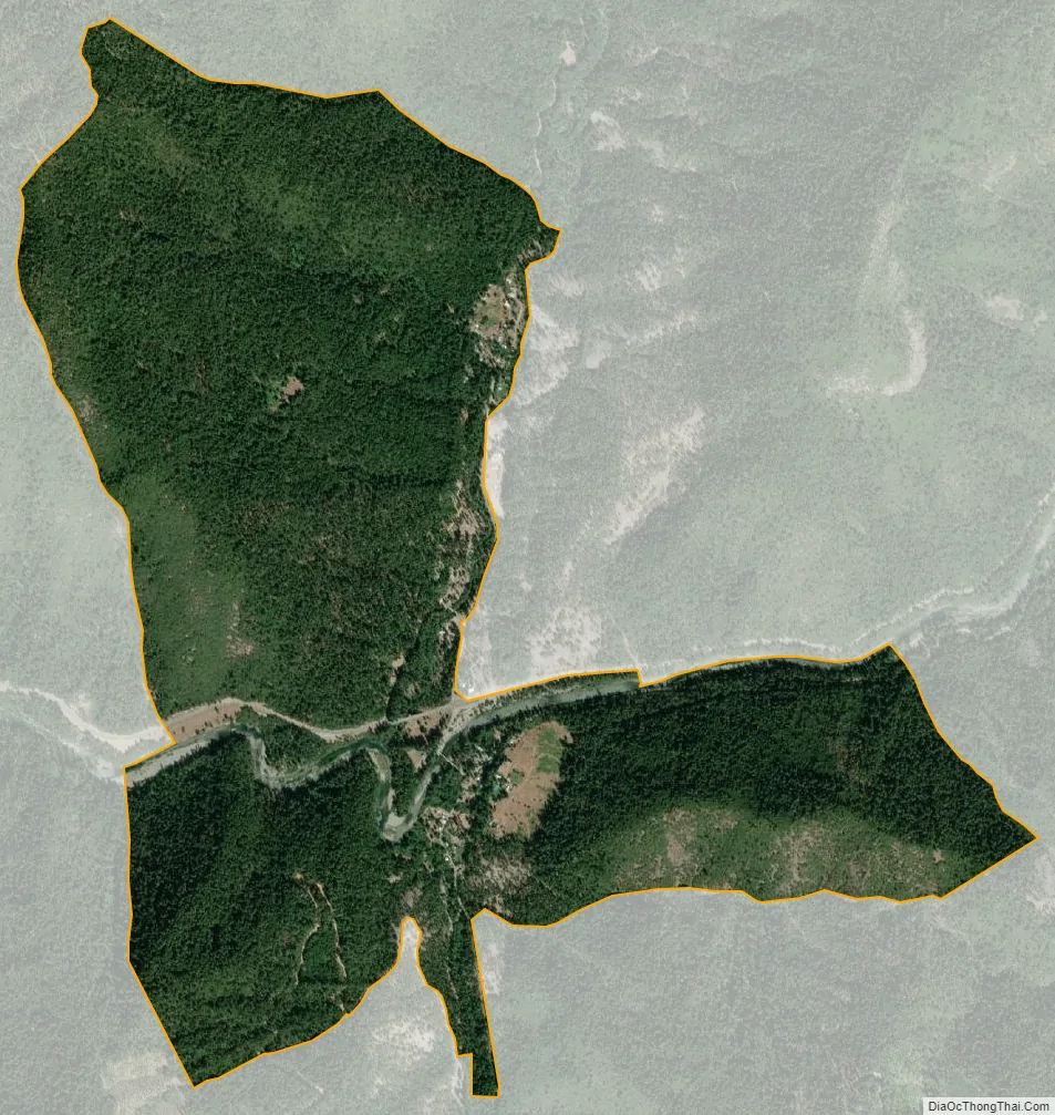
Goodyears Bar city Satellite Map
Geography
According to the United States Census Bureau, the CDP covers an area of 2.1 square miles (5.4 km), 99.19% of it land and 0.81% of it water.
Climate
This region experiences warm (but not hot) and dry summers, with no average monthly temperatures above 71.6 °F. According to the Köppen Climate Classification system, Goodyears Bar has a warm-summer Mediterranean climate, abbreviated “Csb” on climate maps.
See also
Map of California State and its subdivision:- Alameda
- Alpine
- Amador
- Butte
- Calaveras
- Colusa
- Contra Costa
- Del Norte
- El Dorado
- Fresno
- Glenn
- Humboldt
- Imperial
- Inyo
- Kern
- Kings
- Lake
- Lassen
- Los Angeles
- Madera
- Marin
- Mariposa
- Mendocino
- Merced
- Modoc
- Mono
- Monterey
- Napa
- Nevada
- Orange
- Placer
- Plumas
- Riverside
- Sacramento
- San Benito
- San Bernardino
- San Diego
- San Francisco
- San Joaquin
- San Luis Obispo
- San Mateo
- Santa Barbara
- Santa Clara
- Santa Cruz
- Shasta
- Sierra
- Siskiyou
- Solano
- Sonoma
- Stanislaus
- Sutter
- Tehama
- Trinity
- Tulare
- Tuolumne
- Ventura
- Yolo
- Yuba
- Alabama
- Alaska
- Arizona
- Arkansas
- California
- Colorado
- Connecticut
- Delaware
- District of Columbia
- Florida
- Georgia
- Hawaii
- Idaho
- Illinois
- Indiana
- Iowa
- Kansas
- Kentucky
- Louisiana
- Maine
- Maryland
- Massachusetts
- Michigan
- Minnesota
- Mississippi
- Missouri
- Montana
- Nebraska
- Nevada
- New Hampshire
- New Jersey
- New Mexico
- New York
- North Carolina
- North Dakota
- Ohio
- Oklahoma
- Oregon
- Pennsylvania
- Rhode Island
- South Carolina
- South Dakota
- Tennessee
- Texas
- Utah
- Vermont
- Virginia
- Washington
- West Virginia
- Wisconsin
- Wyoming