Goshen is a census-designated place (CDP) near Visalia, in Tulare County, California, United States. The population was 3,006 at the 2010 census, up from 2,394 at the 2000 census. Until the twentieth century, Goshen was an island in a marsh at the edge of Tulare Lake, formerly the largest freshwater lake west of the Great Lakes until drained.
| Name: | Goshen CDP |
|---|---|
| LSAD Code: | 57 |
| LSAD Description: | CDP (suffix) |
| State: | California |
| County: | Tulare County |
| Elevation: | 285 ft (87 m) |
| Total Area: | 1.772 sq mi (4.589 km²) |
| Land Area: | 1.772 sq mi (4.589 km²) |
| Water Area: | 0 sq mi (0 km²) 0% |
| Total Population: | 3,006 |
| Population Density: | 1,700/sq mi (660/km²) |
| ZIP code: | 93227 |
| Area code: | 559 |
| FIPS code: | 0630476 |
| GNISfeature ID: | 1660689 |
Online Interactive Map
Click on ![]() to view map in "full screen" mode.
to view map in "full screen" mode.
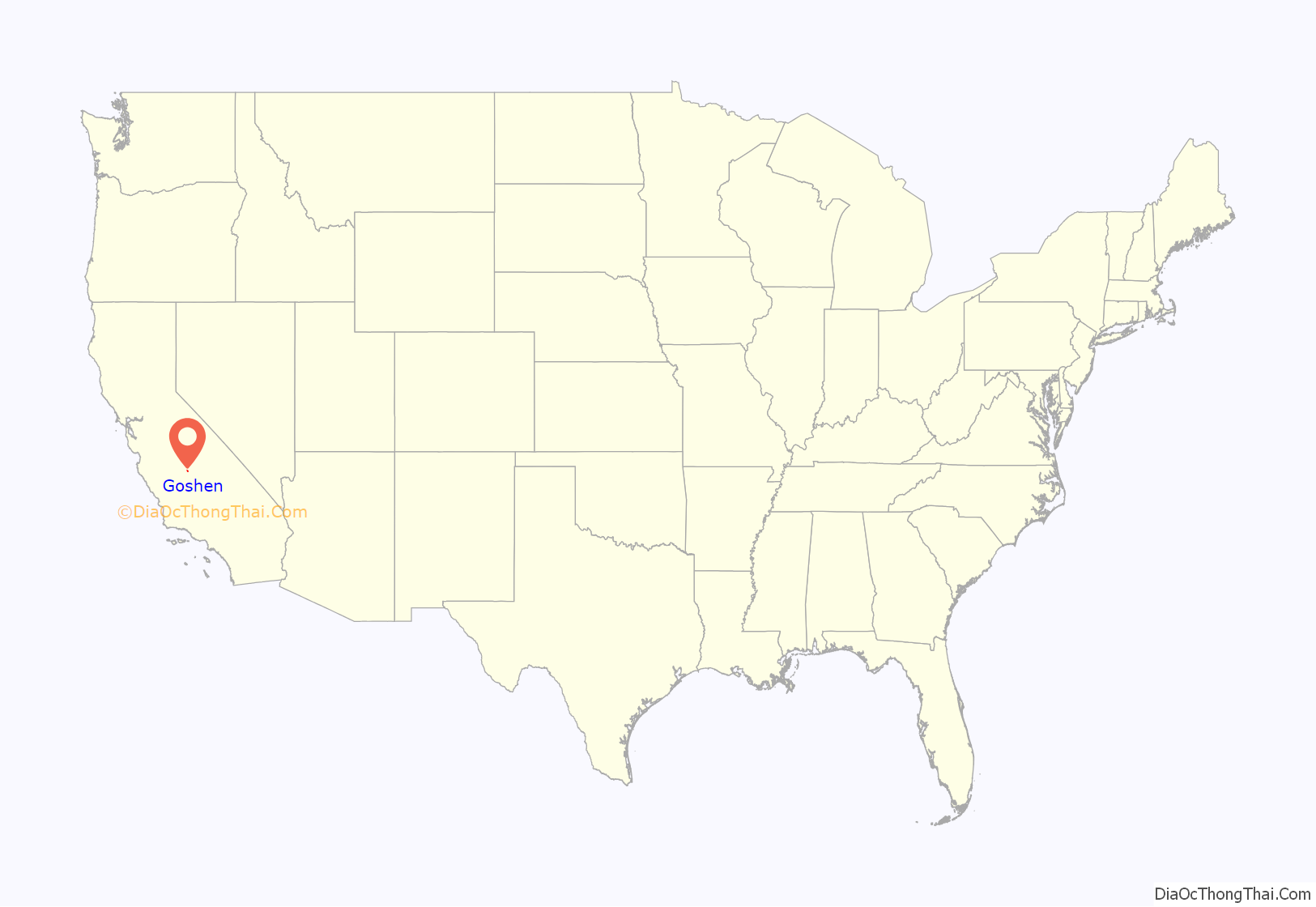
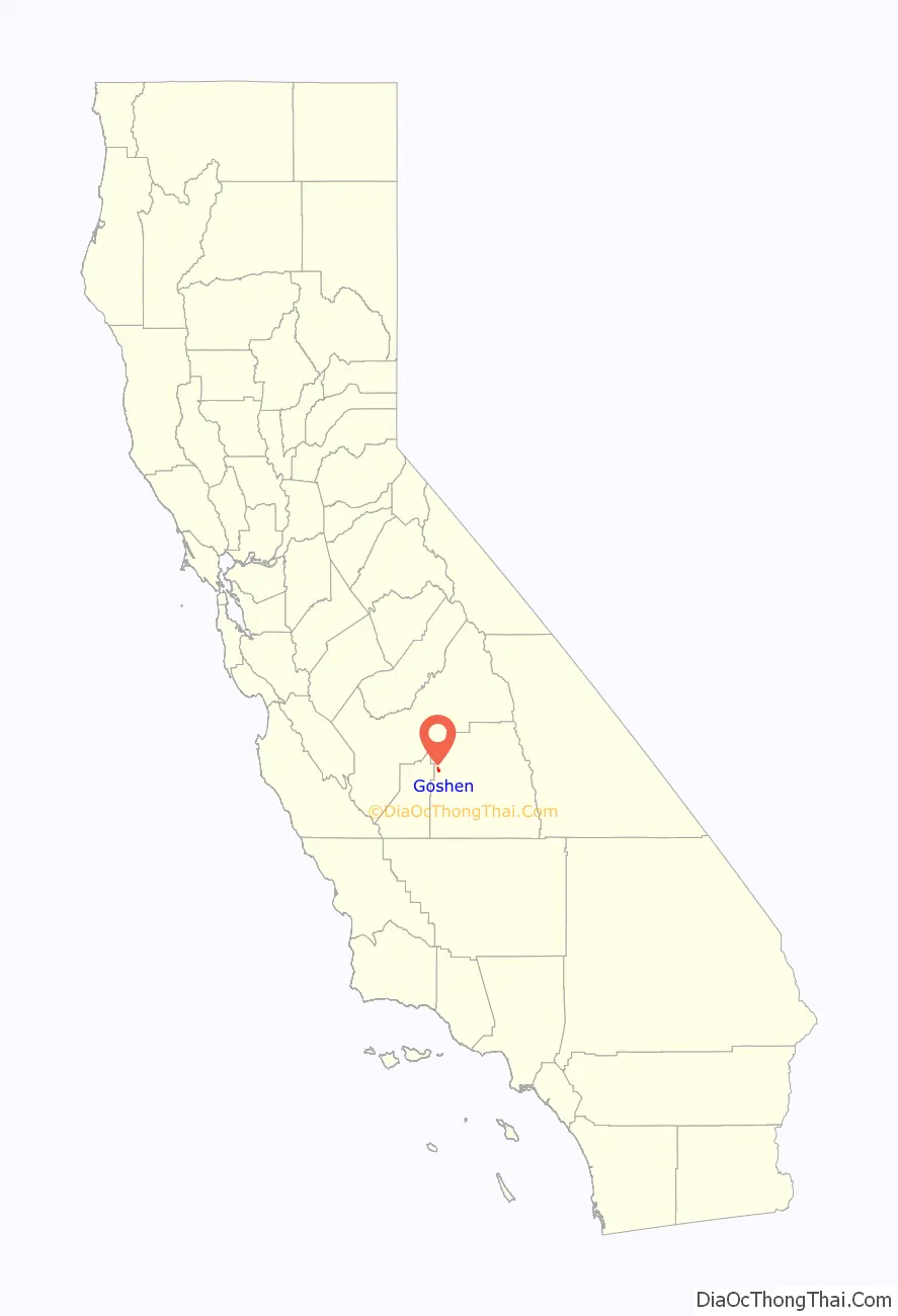
Goshen location map. Where is Goshen CDP?
History
In 1858, the Butterfield Overland Mail passed through the area stopping at Head of Cross Creek Station, 4 miles (6.4 km) northwest of Goshen, at the head of the place where Cross Creek divided into two branches for a time, making it easier to cross them separately. It was 12 miles (19 km) west of the next stop at Visalia, and 15 miles (24 km) southeast of the next stop in the other direction, Whitmore’s Ferry.
Goshen was founded in the 1870s. The Central Pacific Railroad was expanding which continued with a branch line from Goshen to Visalia in 1874. In the early 1890s, Chris Evans and John Sontag robbed a Southern Pacific Railroad train at Goshen.
On January 16, 2023, six people, including a ten-month-old baby, were killed in a mass shooting at a house by alleged cartel gang members.
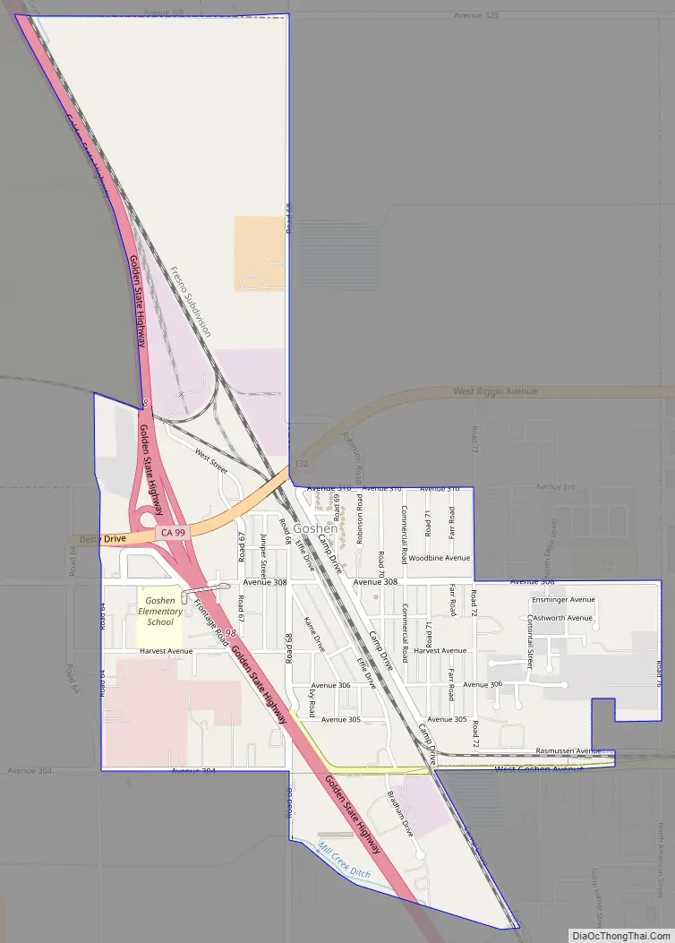
Goshen Road Map
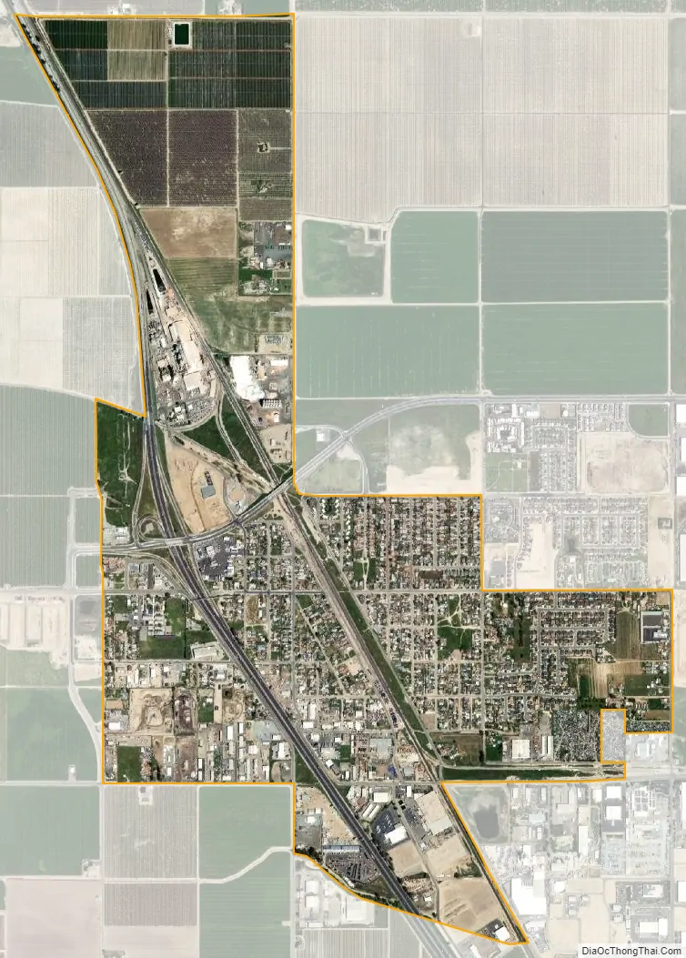
Goshen city Satellite Map
Geography
According to the United States Census Bureau, the CDP has a total area of 1.8 square miles (4.7 km), all of it land.
See also
Map of California State and its subdivision:- Alameda
- Alpine
- Amador
- Butte
- Calaveras
- Colusa
- Contra Costa
- Del Norte
- El Dorado
- Fresno
- Glenn
- Humboldt
- Imperial
- Inyo
- Kern
- Kings
- Lake
- Lassen
- Los Angeles
- Madera
- Marin
- Mariposa
- Mendocino
- Merced
- Modoc
- Mono
- Monterey
- Napa
- Nevada
- Orange
- Placer
- Plumas
- Riverside
- Sacramento
- San Benito
- San Bernardino
- San Diego
- San Francisco
- San Joaquin
- San Luis Obispo
- San Mateo
- Santa Barbara
- Santa Clara
- Santa Cruz
- Shasta
- Sierra
- Siskiyou
- Solano
- Sonoma
- Stanislaus
- Sutter
- Tehama
- Trinity
- Tulare
- Tuolumne
- Ventura
- Yolo
- Yuba
- Alabama
- Alaska
- Arizona
- Arkansas
- California
- Colorado
- Connecticut
- Delaware
- District of Columbia
- Florida
- Georgia
- Hawaii
- Idaho
- Illinois
- Indiana
- Iowa
- Kansas
- Kentucky
- Louisiana
- Maine
- Maryland
- Massachusetts
- Michigan
- Minnesota
- Mississippi
- Missouri
- Montana
- Nebraska
- Nevada
- New Hampshire
- New Jersey
- New Mexico
- New York
- North Carolina
- North Dakota
- Ohio
- Oklahoma
- Oregon
- Pennsylvania
- Rhode Island
- South Carolina
- South Dakota
- Tennessee
- Texas
- Utah
- Vermont
- Virginia
- Washington
- West Virginia
- Wisconsin
- Wyoming


