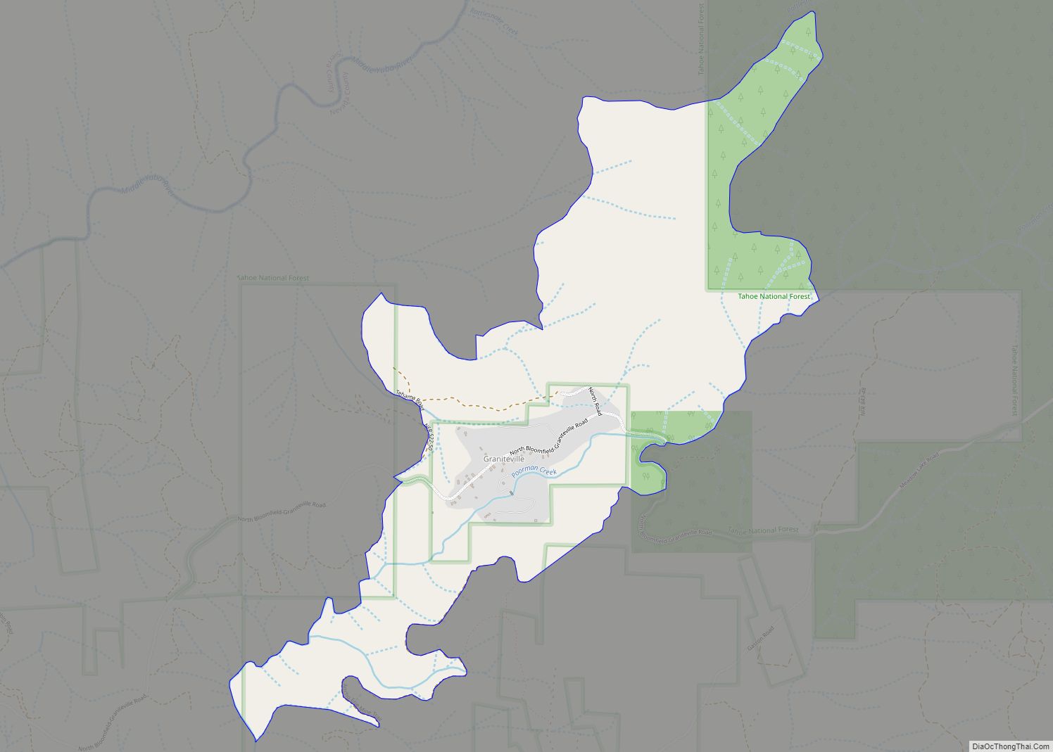
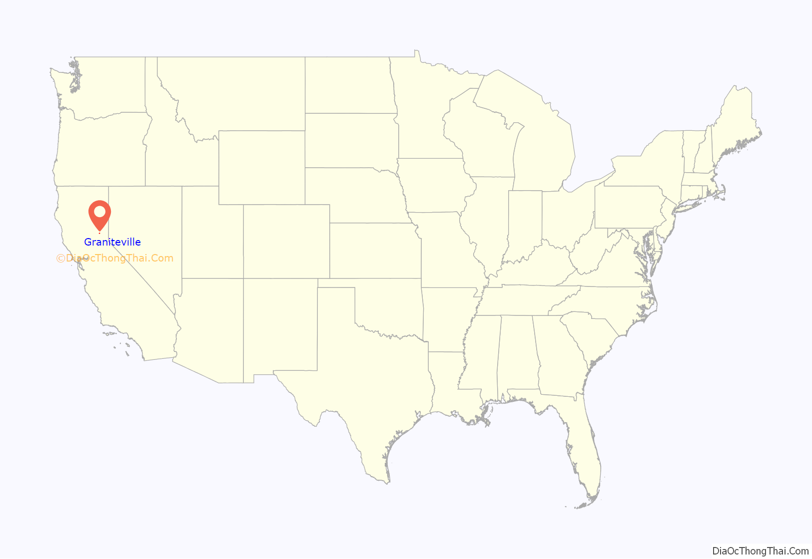
Graniteville (previously: Eureka and unofficially Eureka South) is a small, unincorporated community and census-designated place (CDP) located in Nevada County, California, United States. The town sits on the San Juan ridge separating the Middle and South Forks of the Yuba River, approximately 26 miles (42 km) northeast of Nevada City. The elevation of Graniteville is 4,977 feet (1,517 m) above sea level.
| Name: | Graniteville CDP |
|---|---|
| LSAD Code: | 57 |
| LSAD Description: | CDP (suffix) |
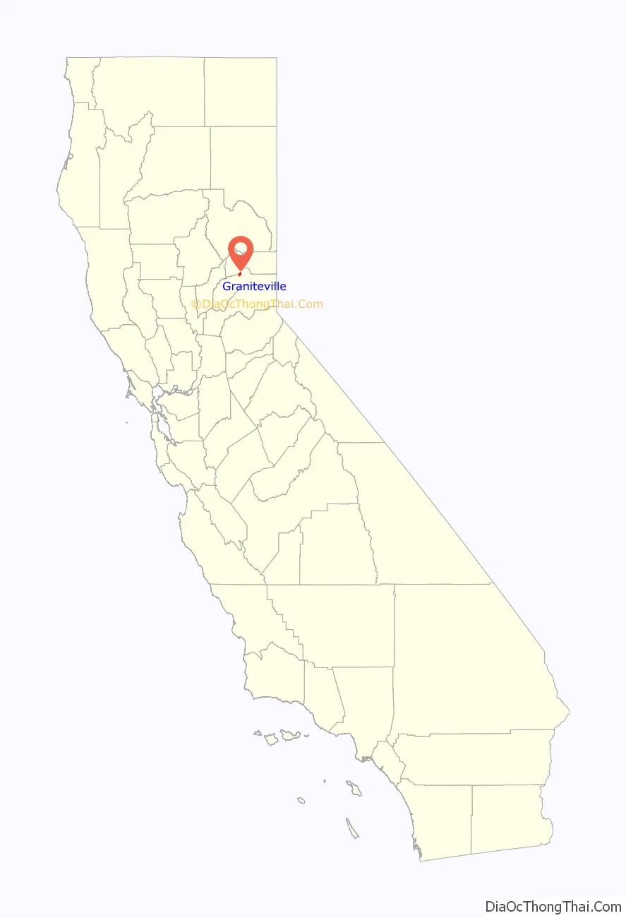
| State: | California |
| County: | Nevada County |
| Elevation: | 4,977 ft (1,517 m) |
| Total Area: | 1.488 sq mi (3.853 km²) |
| Land Area: | 1.488 sq mi (3.853 km²) |
| Water Area: | 0 sq mi (0 km²) 0% |
| Total Population: | 11 |
| Population Density: | 7.4/sq mi (2.9/km²) |
| ZIP code: | 95959 |
| Area code: | 530 |
| FIPS code: | 0630714 |
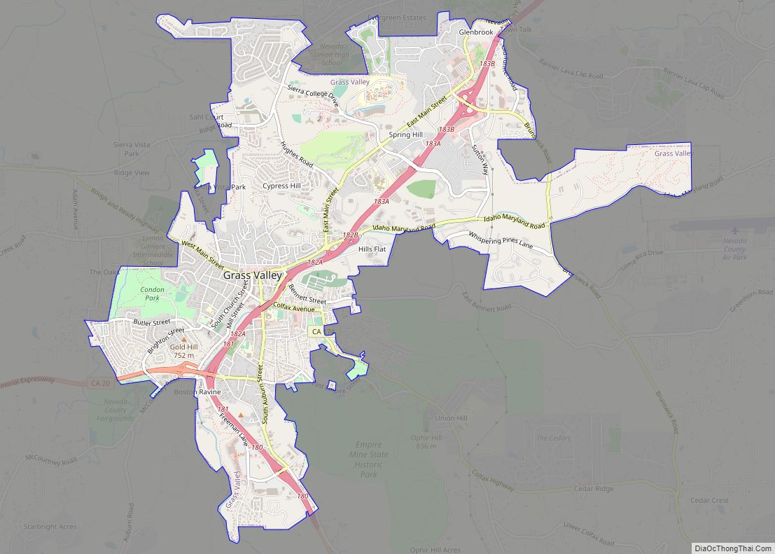
Online Interactive Map
Click on ![]() to view map in "full screen" mode.
to view map in "full screen" mode.
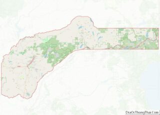
Graniteville location map. Where is Graniteville CDP?
History
First settled in 1850, it was the original town in Eureka Township and an early gold mining center for Nevada County. As was popular at the time, the town was named Eureka, the state motto (“I have found it”), in honor of California’s admission in September, 1850, to the Union. Many other early Nevada County sites carried the Eureka name, including Eureka Hill, Eureka Mine, Eureka School District, Eureka Heights Residential District in Grass Valley, and Eureka House, an early tavern and inn built in 1850-1851.
Due to its proximity to another town of Eureka in Sierra County, however, as early as the 1850s it was often referred to as Eureka South to avoid confusion. In 1857, Goddard’s Map recorded the town as Eureka South. When a United States Post Office was established on August 26, 1867, the town’s name officially became Graniteville, because there already was a Eureka post office in Humboldt County. However locals and historians continued to call it Eureka for some time.
Graniteville was the first settled town in Eureka Township, situated on Poorman Creek between the Middle and South Yuba Rivers. By the mid 1850s, Eureka had a winter population of about 1000 residents, although dry season population often dropped to about 200 individuals due to poor water supply. As in many similar early mining towns, early Eureka was a raucous environment, populated mostly by men and used to settling disputes with violence. For example, in January, 1854, a riot erupted between Irish and English miners over priority to a claim. Shots were exchanged and a woman passer-by was wounded. The involved parties were arrested and five individuals were fined $60.00 each, a substantial sum at the time. In spite of its somewhat unruly beginnings, the town established stores, hotels, a livery stable, saloons, a bakery and a brewery. By 1855, there were enough local children to warrant a school. By the 1870s, a Catholic church had been established.
Eureka was a stage line terminus and the last local town for outfitting miners for the higher elevations, along with being an important distribution point for reservoir waters that were fed via ditches to the lower hydraulic mines. It was connected to the world’s first long distance telephone line, established in 1878 to link the mining communities around the San Juan Ridge. It was also an important stop on the Henness Pass road connecting Marysville and Nevada County with what was to become Nevada. Establishment of a United States Post Office in 1867 allowed for tri-weekly mail delivery by stage from Nevada City when weather allowed. When inclement weather prohibited stage delivery, foot express delivery from Moore’s Flat, about 6 miles west, was periodically feasible. As of 1867, Eureka was one of the few Nevada County towns that had not suffered from disastrous fires. On August 12, 1878, however, fire destroyed much of the original town, at a loss of $50,000.00. By then, under the name of Graniteville, the town partially had come back to life, and by 1880 there was a population of around 300.
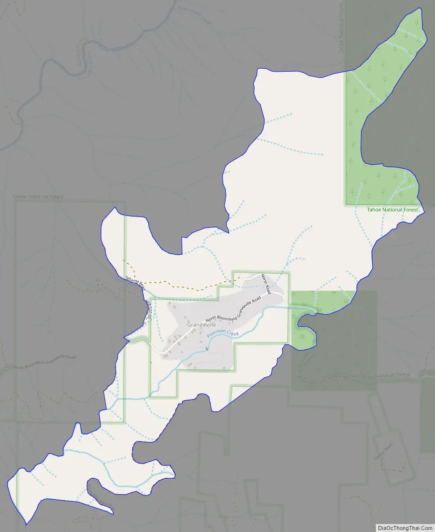
Graniteville Road Map
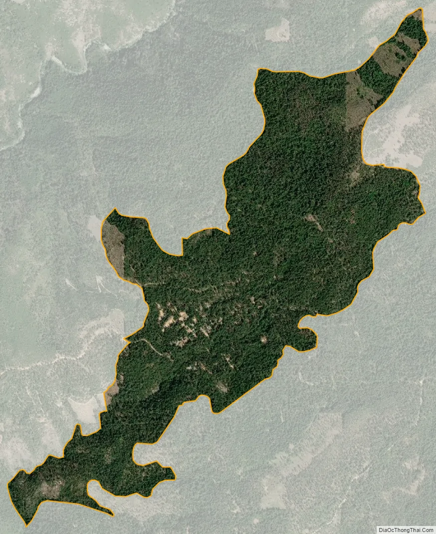
Graniteville city Satellite Map
See also
Map of California State and its subdivision:- Alameda
- Alpine
- Amador
- Butte
- Calaveras
- Colusa
- Contra Costa
- Del Norte
- El Dorado
- Fresno
- Glenn
- Humboldt
- Imperial
- Inyo
- Kern
- Kings
- Lake
- Lassen
- Los Angeles
- Madera
- Marin
- Mariposa
- Mendocino
- Merced
- Modoc
- Mono
- Monterey
- Napa
- Nevada
- Orange
- Placer
- Plumas
- Riverside
- Sacramento
- San Benito
- San Bernardino
- San Diego
- San Francisco
- San Joaquin
- San Luis Obispo
- San Mateo
- Santa Barbara
- Santa Clara
- Santa Cruz
- Shasta
- Sierra
- Siskiyou
- Solano
- Sonoma
- Stanislaus
- Sutter
- Tehama
- Trinity
- Tulare
- Tuolumne
- Ventura
- Yolo
- Yuba
- Alabama
- Alaska
- Arizona
- Arkansas
- California
- Colorado
- Connecticut
- Delaware
- District of Columbia
- Florida
- Georgia
- Hawaii
- Idaho
- Illinois
- Indiana
- Iowa
- Kansas
- Kentucky
- Louisiana
- Maine
- Maryland
- Massachusetts
- Michigan
- Minnesota
- Mississippi
- Missouri
- Montana
- Nebraska
- Nevada
- New Hampshire
- New Jersey
- New Mexico
- New York
- North Carolina
- North Dakota
- Ohio
- Oklahoma
- Oregon
- Pennsylvania
- Rhode Island
- South Carolina
- South Dakota
- Tennessee
- Texas
- Utah
- Vermont
- Virginia
- Washington
- West Virginia
- Wisconsin
- Wyoming