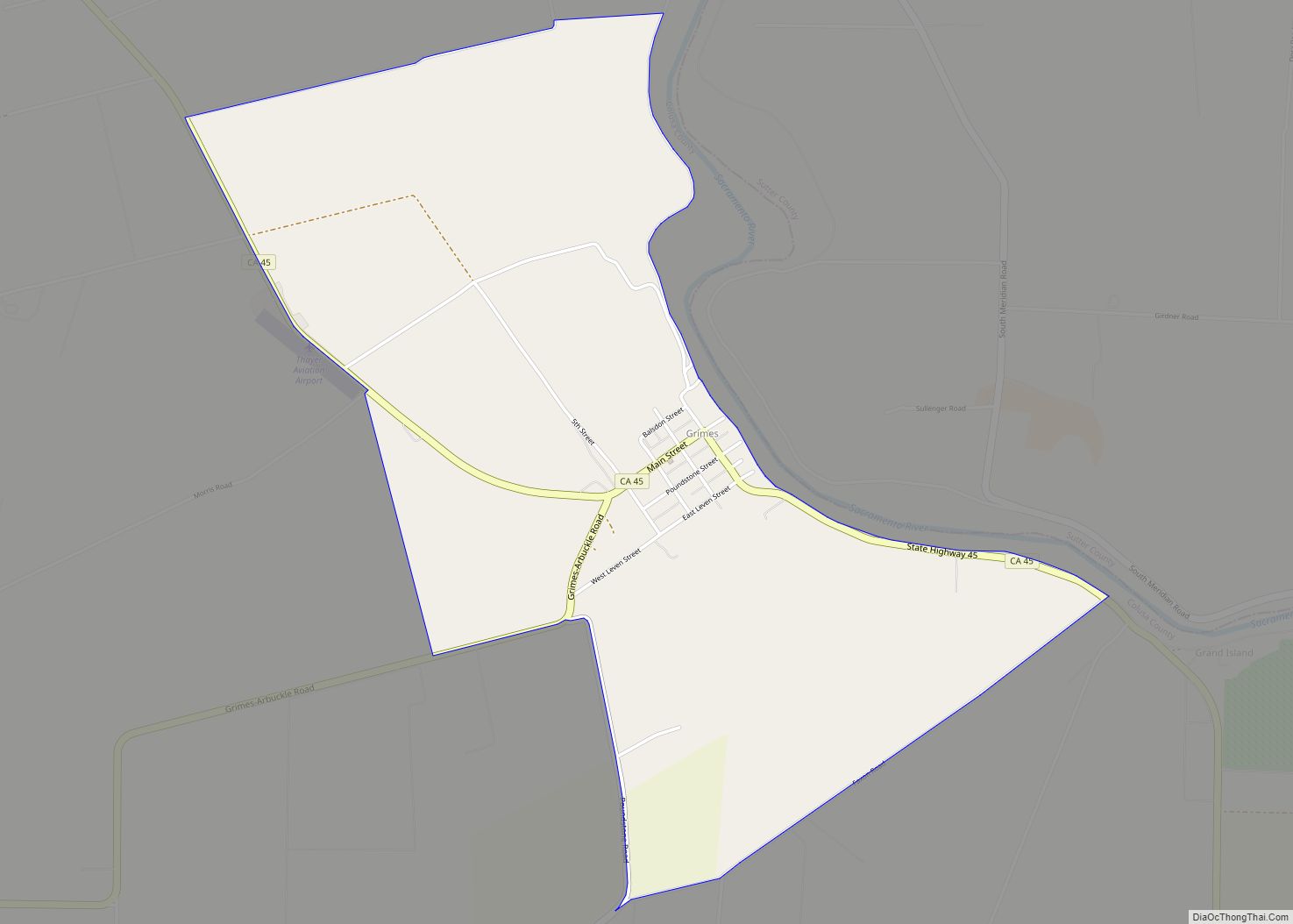
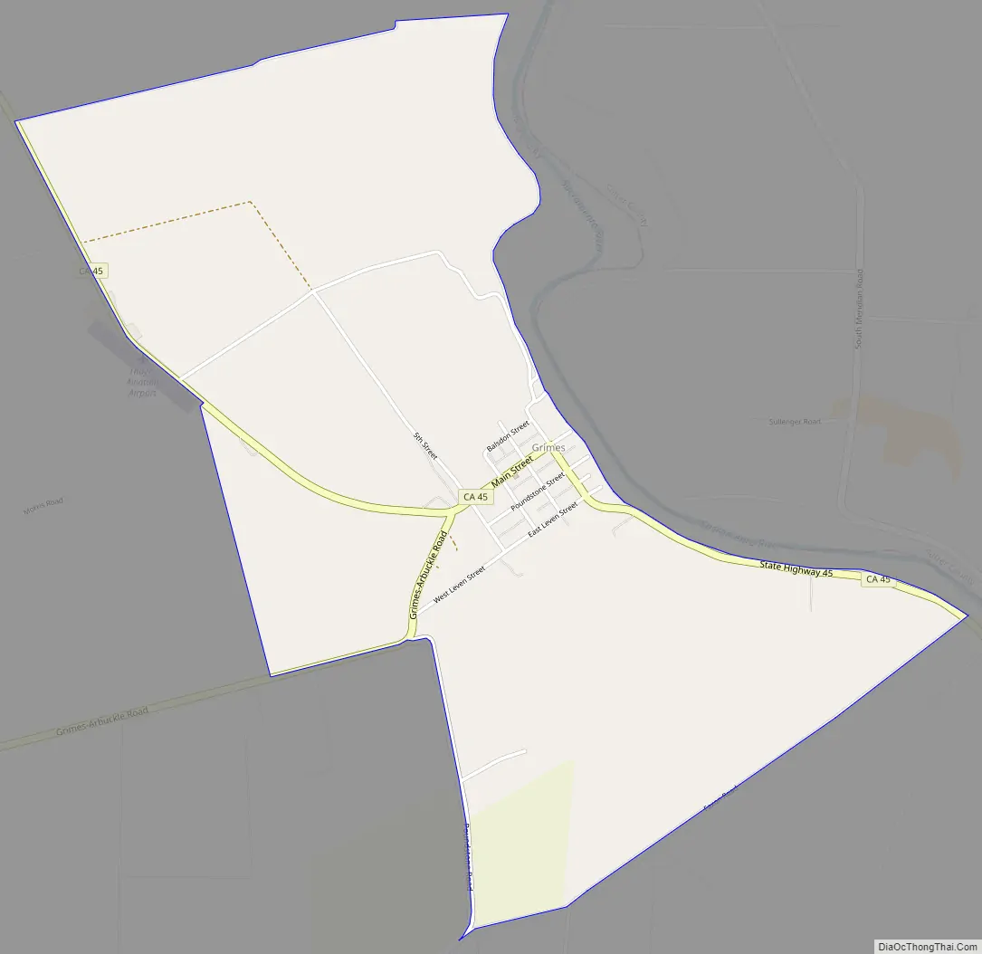
Grimes (formerly Grimes Landing) is a census-designated place in Colusa County, California on the Southern Pacific Railroad. It lies at an elevation of 46 feet (14 m). The two main roads that run through it are State Route 45 and Grimes-Arbuckle Road. Its ZIP code is 95950, and its area code is 530. Grimes’s population was 391 at the 2020 census.
| Name: | Grimes CDP |
|---|---|
| LSAD Code: | 57 |
| LSAD Description: | CDP (suffix) |
| State: | California |
| County: | Colusa County |
| Elevation: | 46 ft (14 m) |
| Total Area: | 2.261 sq mi (5.856 km²) |
| Land Area: | 2.261 sq mi (5.856 km²) |
| Water Area: | 0 sq mi (0 km²) 0% |
| Total Population: | 391 |
| Population Density: | 170/sq mi (67/km²) |
| ZIP code: | 95950 |
| Area code: | 530 |
| FIPS code: | 0631288 |
Online Interactive Map
Click on ![]() to view map in "full screen" mode.
to view map in "full screen" mode.
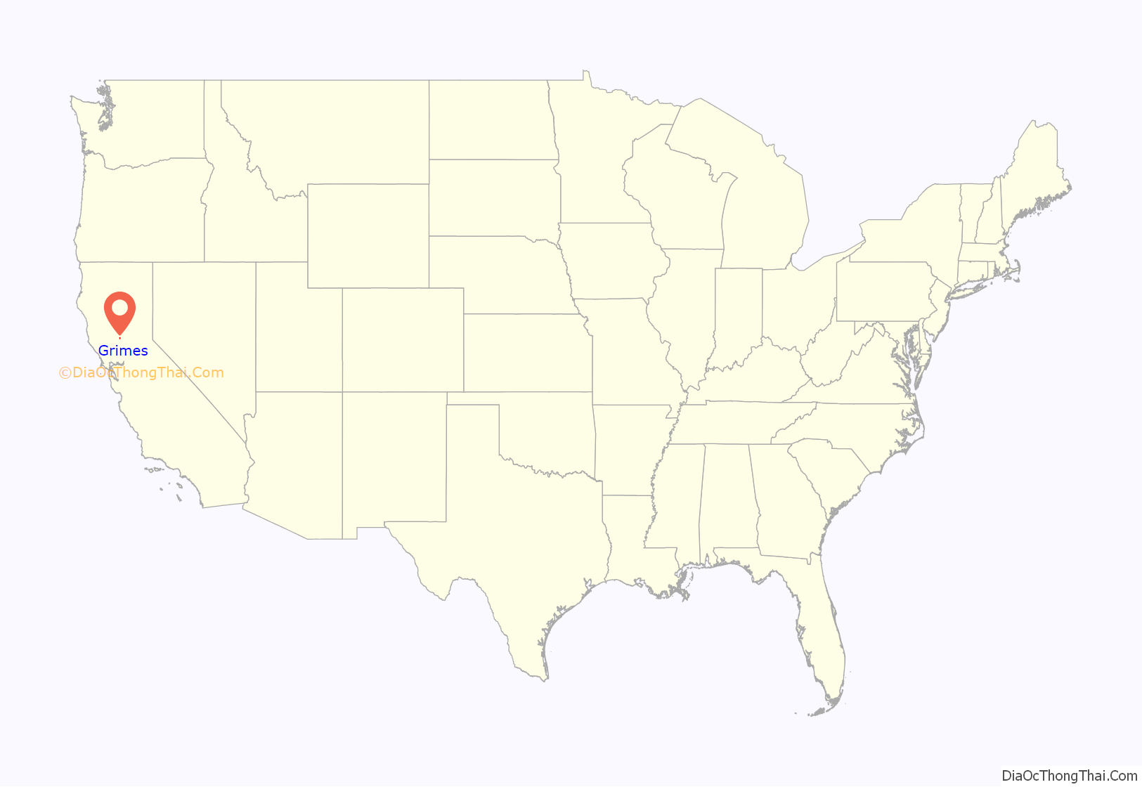
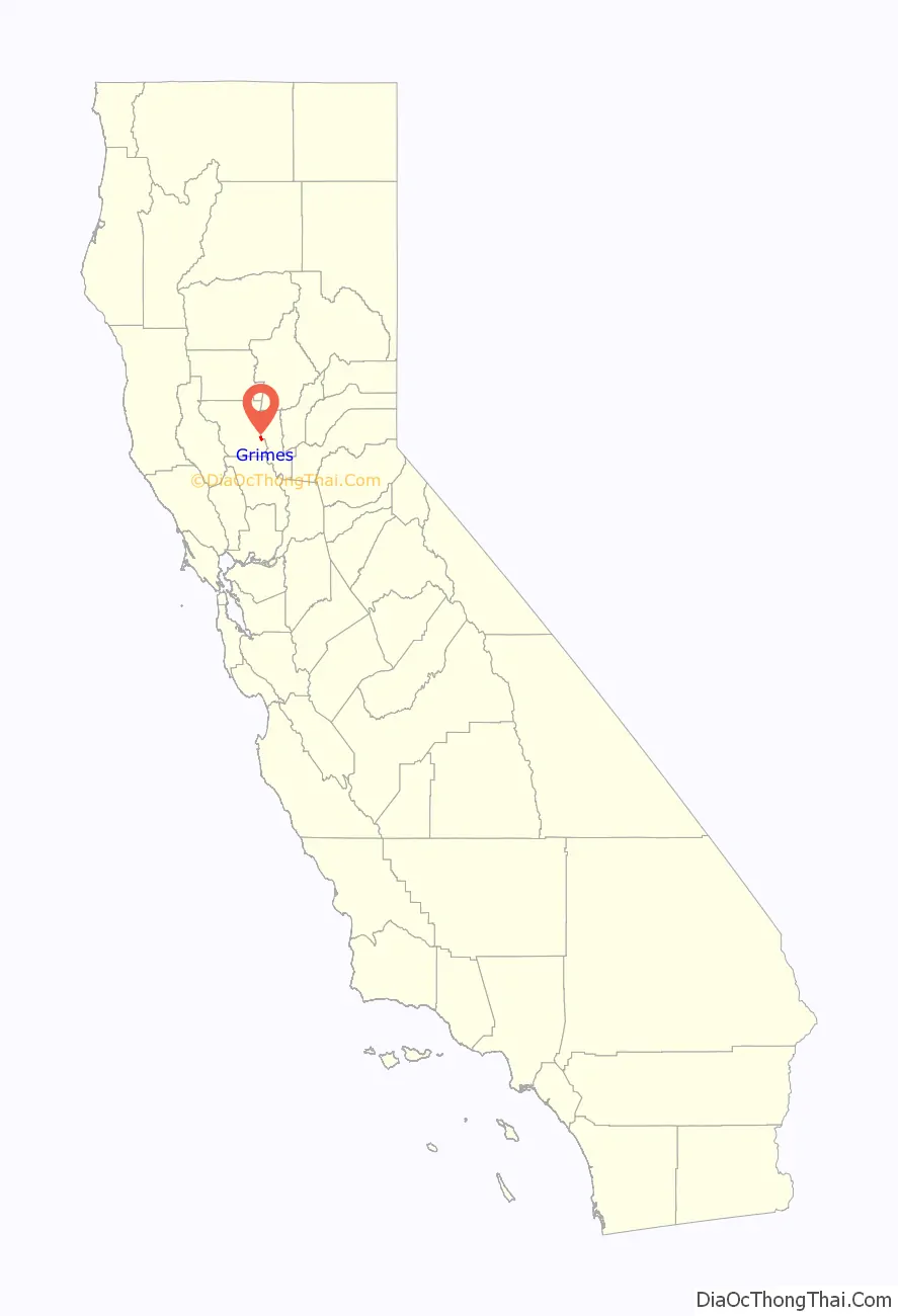
Grimes location map. Where is Grimes CDP?
History
The post office was established in 1883. Grimes is named after Cleaton Grimes, who obtained the townsite land in 1844.
The Cecil Ranch in Grimes is listed on the National Register of Historic Places, partly for the architecture of its architect-designed main house, built in 1909.
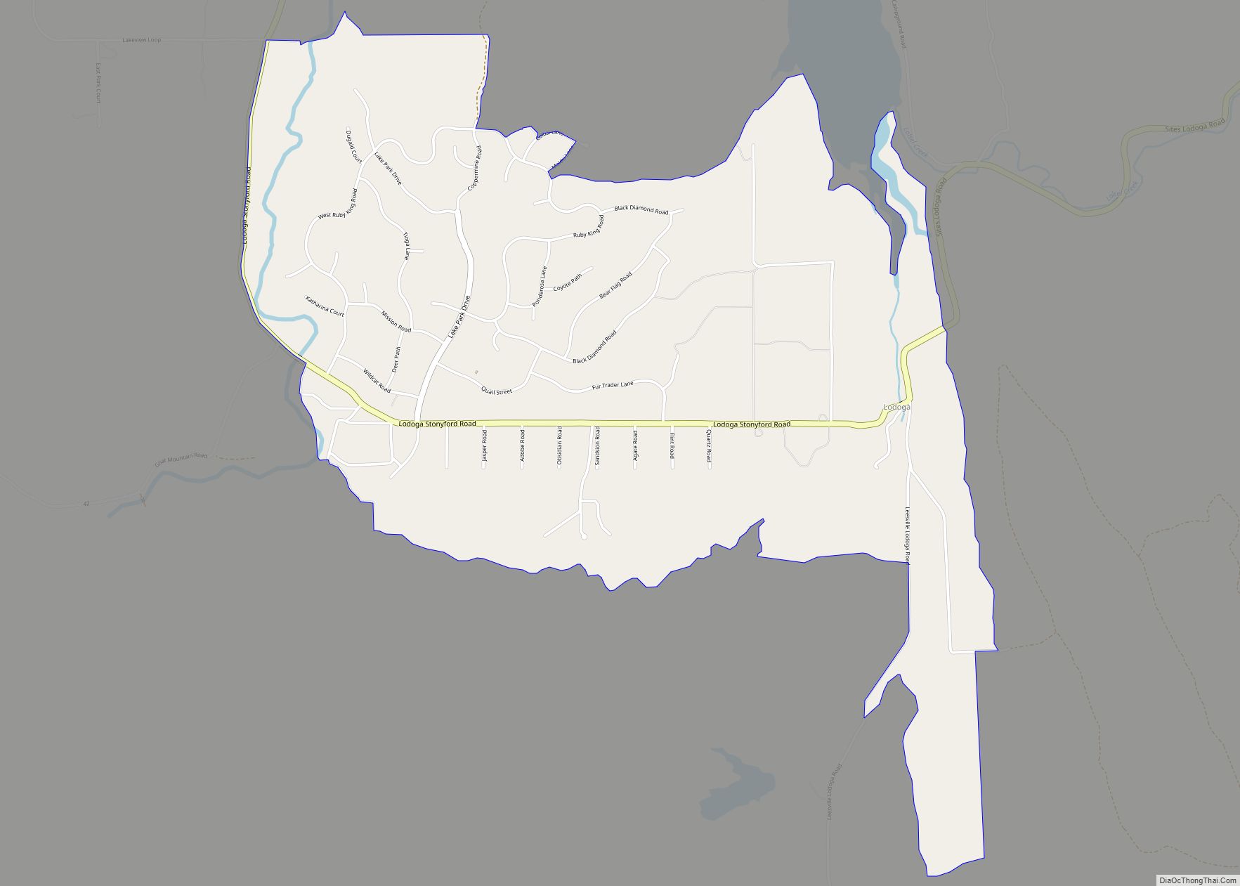
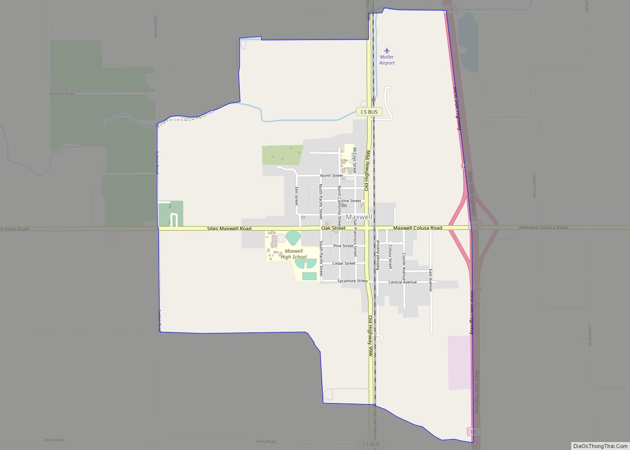
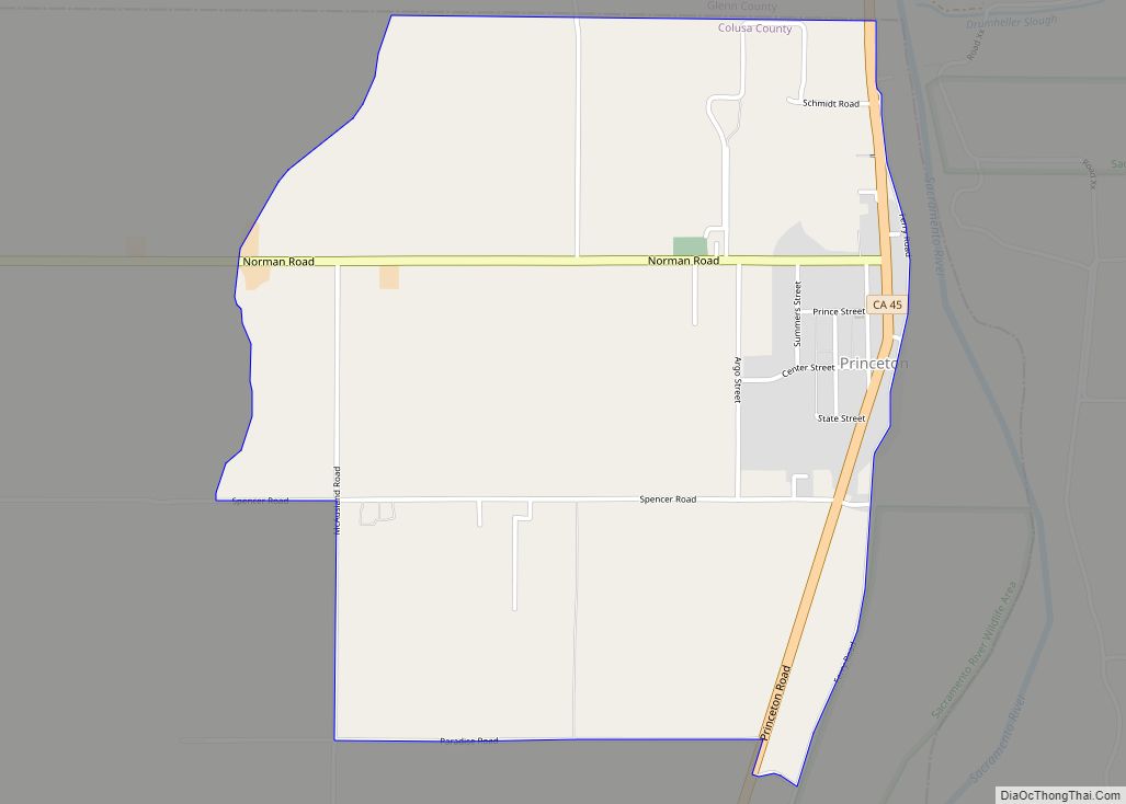
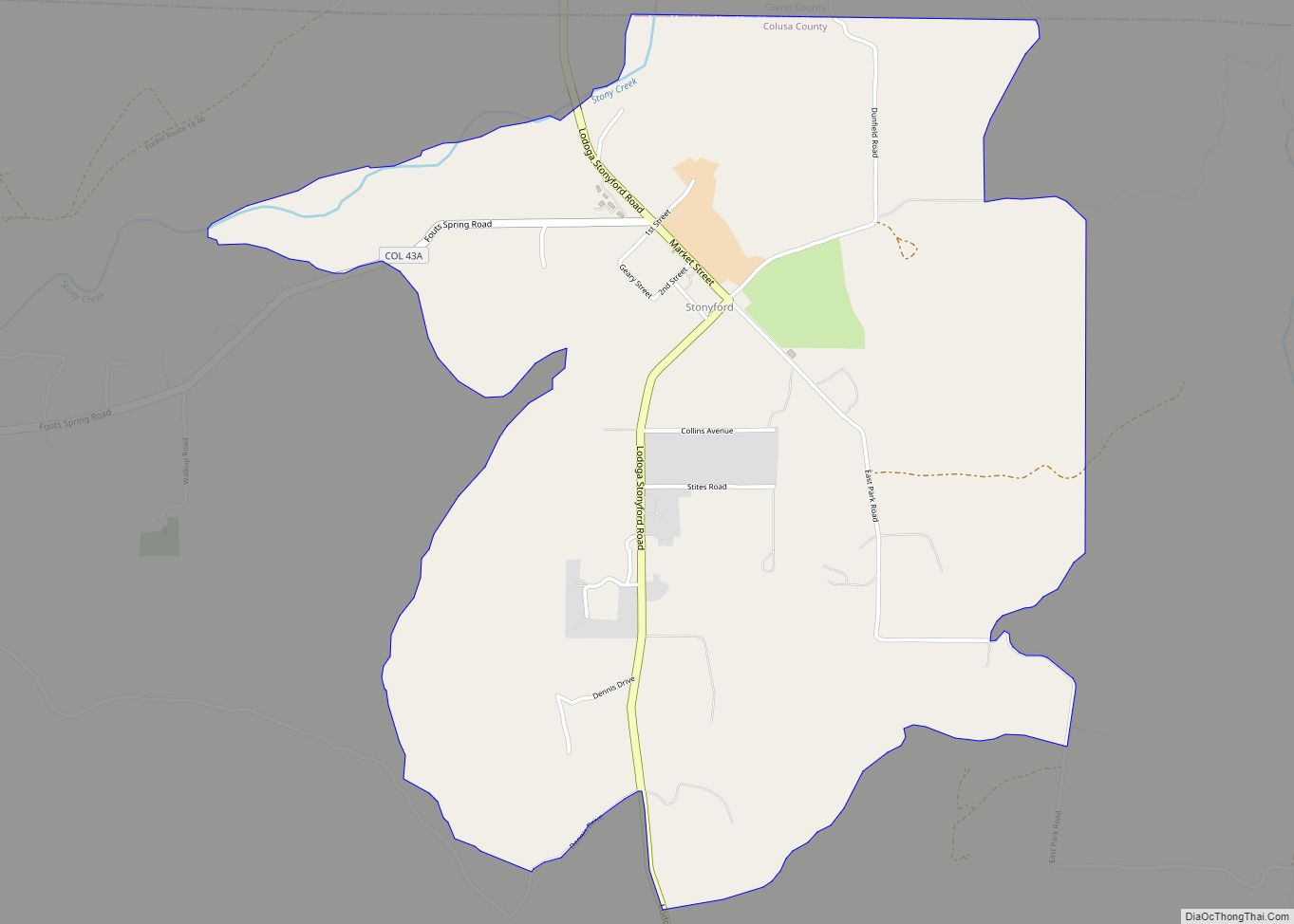
Grimes Road Map
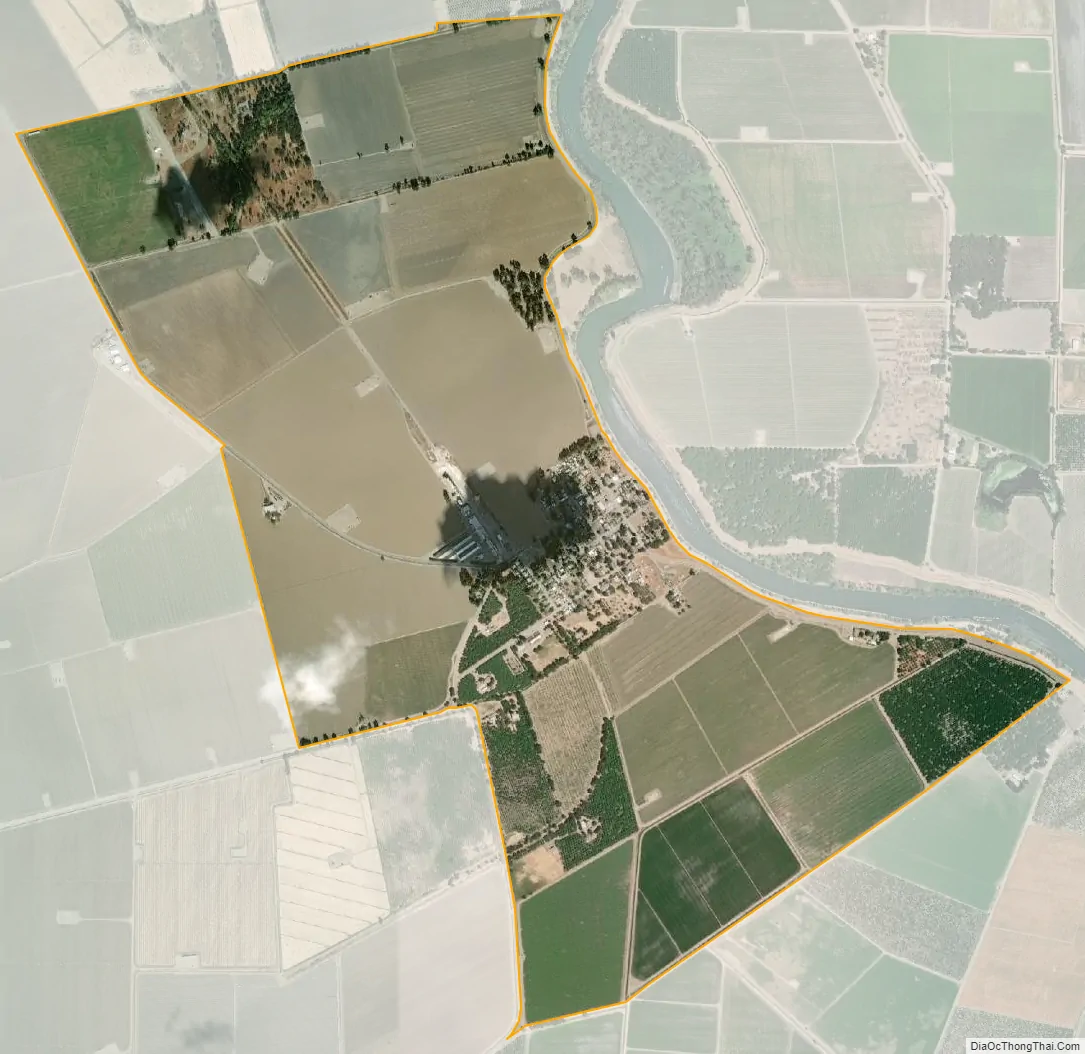
Grimes city Satellite Map
See also
Map of California State and its subdivision:- Alameda
- Alpine
- Amador
- Butte
- Calaveras
- Colusa
- Contra Costa
- Del Norte
- El Dorado
- Fresno
- Glenn
- Humboldt
- Imperial
- Inyo
- Kern
- Kings
- Lake
- Lassen
- Los Angeles
- Madera
- Marin
- Mariposa
- Mendocino
- Merced
- Modoc
- Mono
- Monterey
- Napa
- Nevada
- Orange
- Placer
- Plumas
- Riverside
- Sacramento
- San Benito
- San Bernardino
- San Diego
- San Francisco
- San Joaquin
- San Luis Obispo
- San Mateo
- Santa Barbara
- Santa Clara
- Santa Cruz
- Shasta
- Sierra
- Siskiyou
- Solano
- Sonoma
- Stanislaus
- Sutter
- Tehama
- Trinity
- Tulare
- Tuolumne
- Ventura
- Yolo
- Yuba
- Alabama
- Alaska
- Arizona
- Arkansas
- California
- Colorado
- Connecticut
- Delaware
- District of Columbia
- Florida
- Georgia
- Hawaii
- Idaho
- Illinois
- Indiana
- Iowa
- Kansas
- Kentucky
- Louisiana
- Maine
- Maryland
- Massachusetts
- Michigan
- Minnesota
- Mississippi
- Missouri
- Montana
- Nebraska
- Nevada
- New Hampshire
- New Jersey
- New Mexico
- New York
- North Carolina
- North Dakota
- Ohio
- Oklahoma
- Oregon
- Pennsylvania
- Rhode Island
- South Carolina
- South Dakota
- Tennessee
- Texas
- Utah
- Vermont
- Virginia
- Washington
- West Virginia
- Wisconsin
- Wyoming