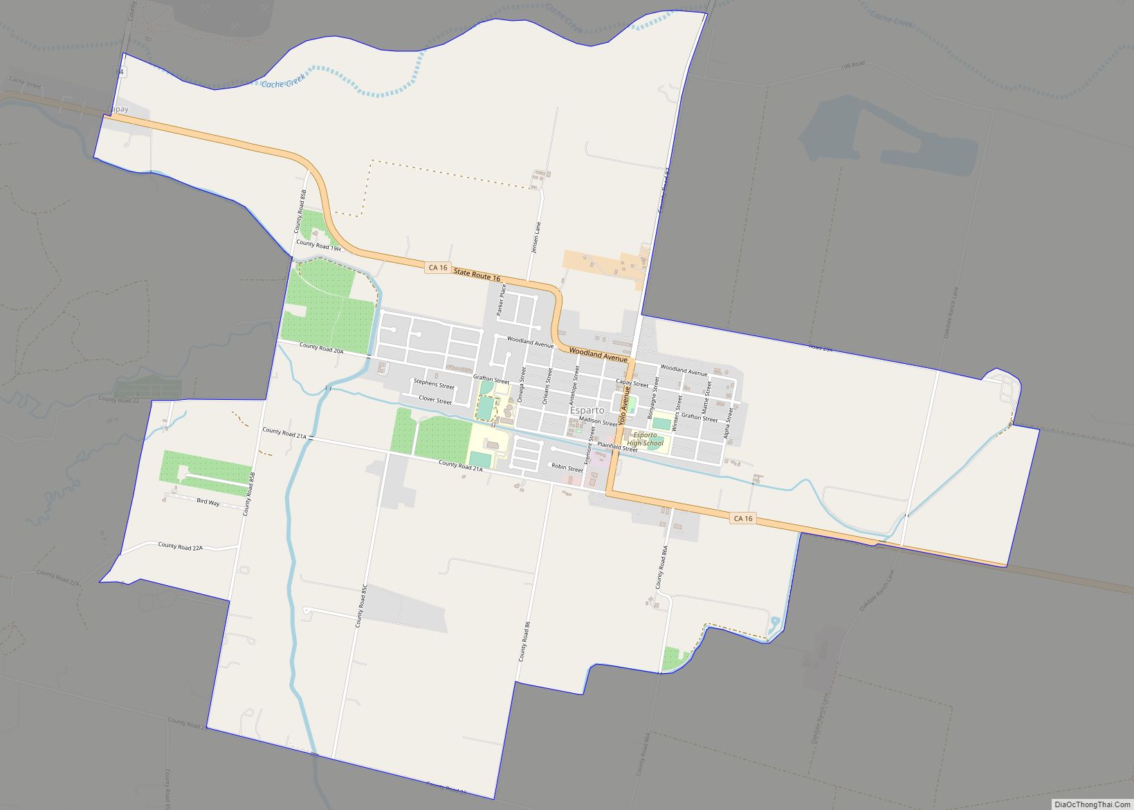
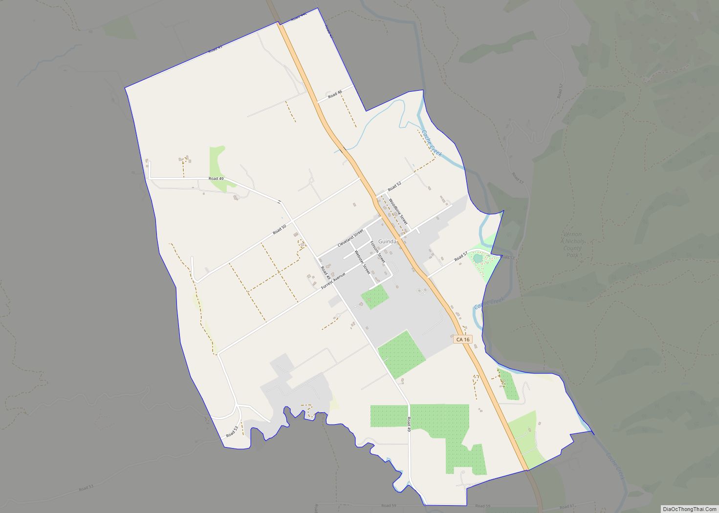
Guinda (Spanish for “Sour cherry”) is a census-designated place in Yolo County, California. It is located in the Capay Valley, in the northwestern portion of the county, 13 miles (21 km) northwest of Esparto. Guinda’s ZIP Code is 95637 and the town is in area code 530. It lies at an elevation of 361 feet (110 m).
A post office was opened in the town in 1889.
The town was named by Southern Pacific Railroad officials after a cherry tree at the site.
| Name: | Guinda CDP |
|---|---|
| LSAD Code: | 57 |
| LSAD Description: | CDP (suffix) |
| State: | California |
| County: | Yolo County |
| Elevation: | 361 ft (110 m) |
| Total Area: | 2.907 sq mi (7.529 km²) |
| Land Area: | 2.907 sq mi (7.529 km²) |
| Water Area: | 0 sq mi (0 km²) 0% |
| Total Population: | 254 |
| Population Density: | 87/sq mi (34/km²) |
| FIPS code: | 0631540 |
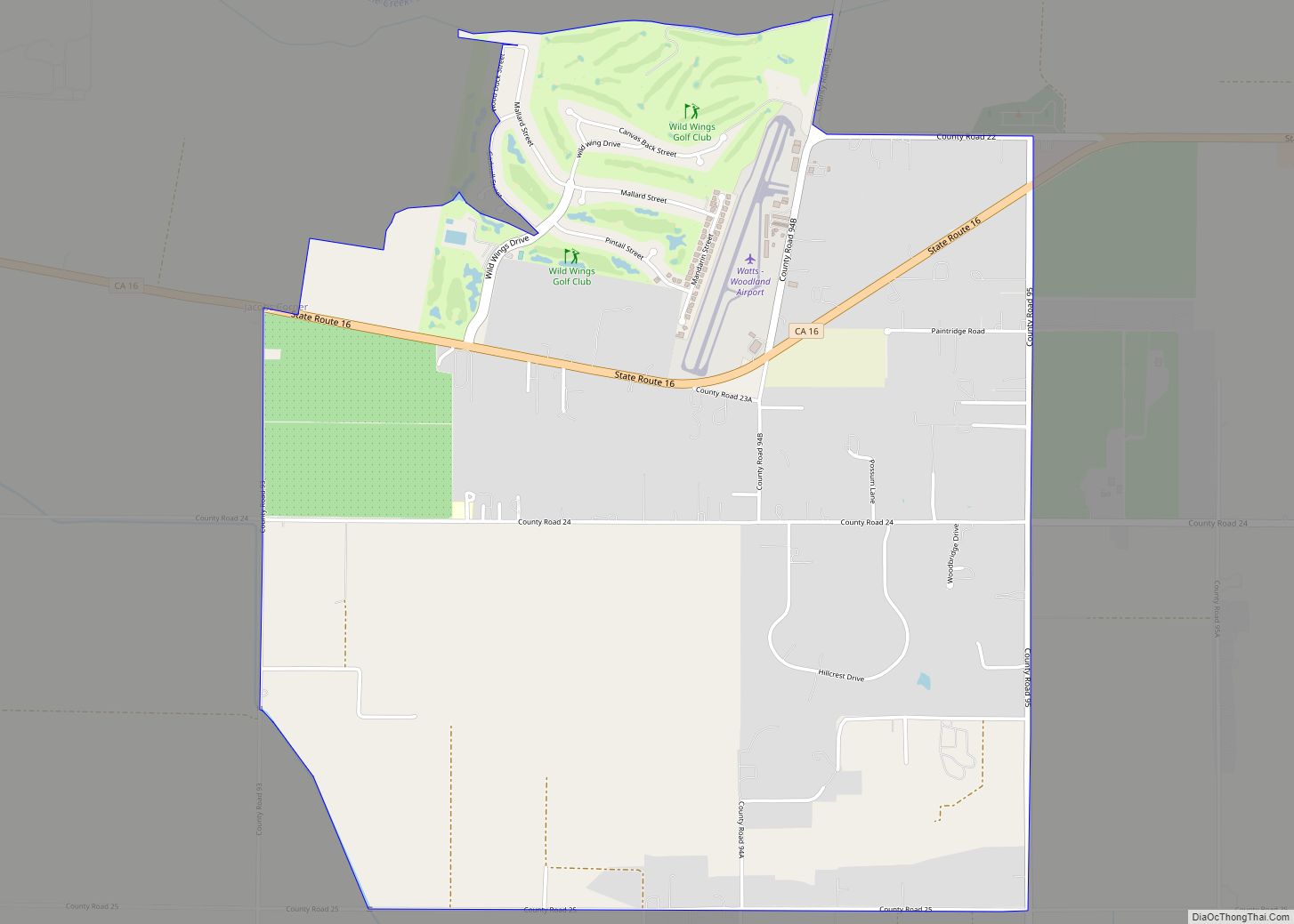
Online Interactive Map
Click on ![]() to view map in "full screen" mode.
to view map in "full screen" mode.
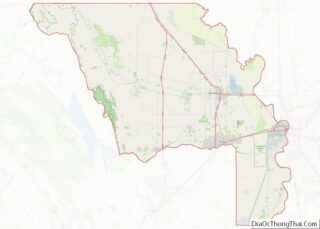
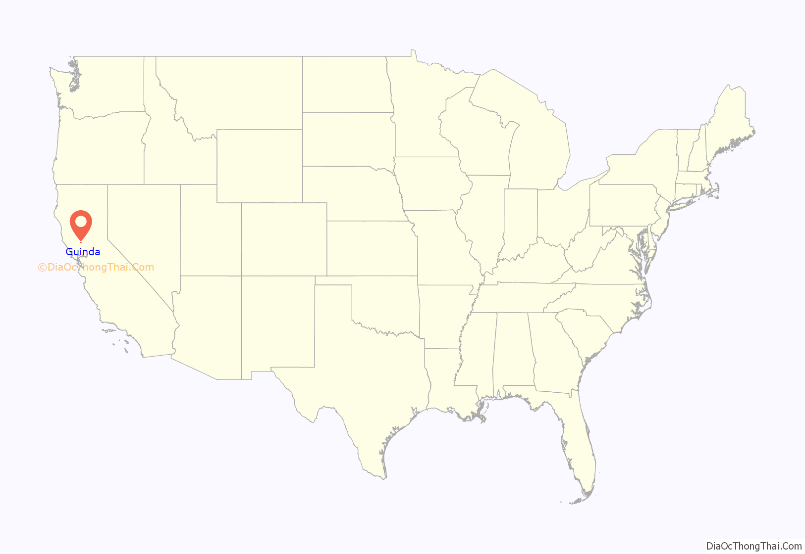
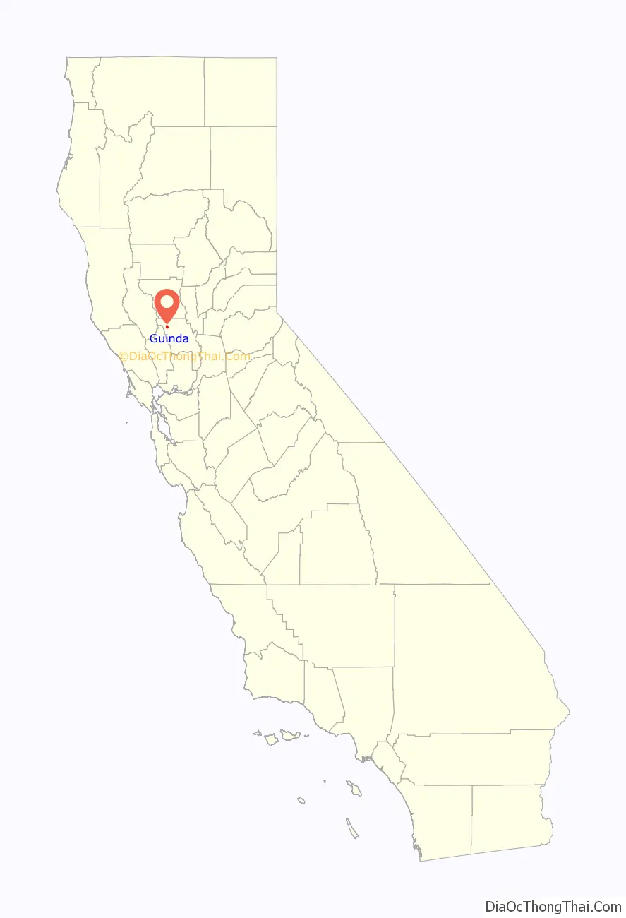
Guinda location map. Where is Guinda CDP?
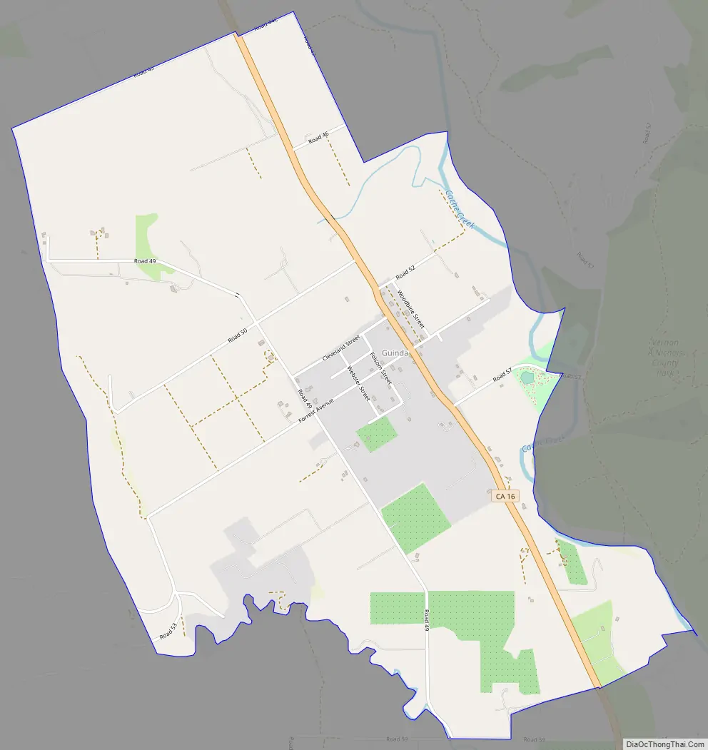
Guinda Road Map
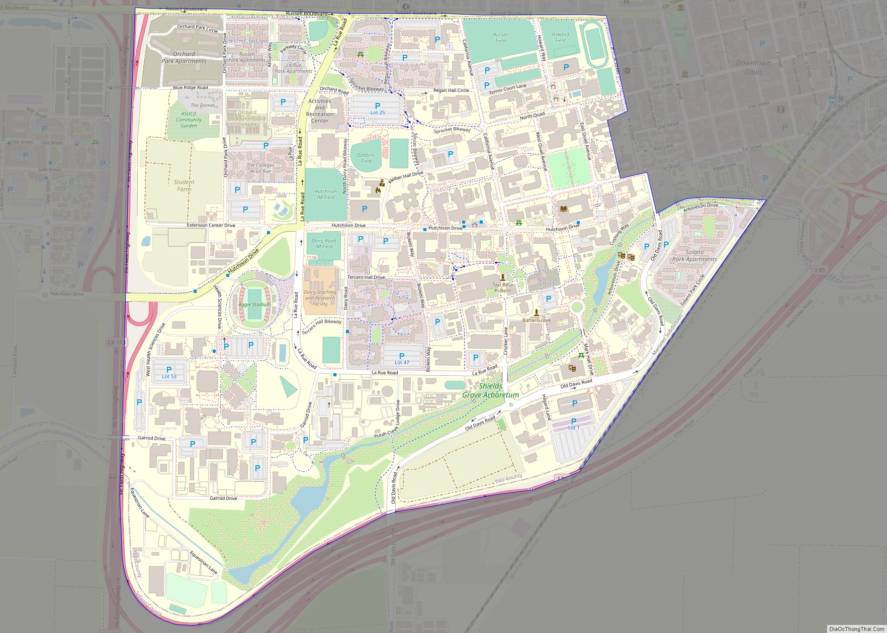
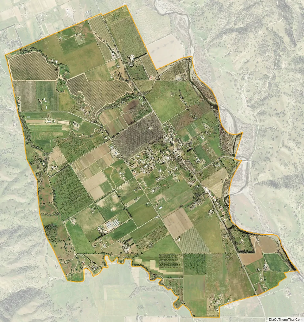
Guinda city Satellite Map
Geography
According to the United States Census Bureau, the CDP covers an area of 2.9 square miles (7.5 km), all of it land.
See also
Map of California State and its subdivision:- Alameda
- Alpine
- Amador
- Butte
- Calaveras
- Colusa
- Contra Costa
- Del Norte
- El Dorado
- Fresno
- Glenn
- Humboldt
- Imperial
- Inyo
- Kern
- Kings
- Lake
- Lassen
- Los Angeles
- Madera
- Marin
- Mariposa
- Mendocino
- Merced
- Modoc
- Mono
- Monterey
- Napa
- Nevada
- Orange
- Placer
- Plumas
- Riverside
- Sacramento
- San Benito
- San Bernardino
- San Diego
- San Francisco
- San Joaquin
- San Luis Obispo
- San Mateo
- Santa Barbara
- Santa Clara
- Santa Cruz
- Shasta
- Sierra
- Siskiyou
- Solano
- Sonoma
- Stanislaus
- Sutter
- Tehama
- Trinity
- Tulare
- Tuolumne
- Ventura
- Yolo
- Yuba
- Alabama
- Alaska
- Arizona
- Arkansas
- California
- Colorado
- Connecticut
- Delaware
- District of Columbia
- Florida
- Georgia
- Hawaii
- Idaho
- Illinois
- Indiana
- Iowa
- Kansas
- Kentucky
- Louisiana
- Maine
- Maryland
- Massachusetts
- Michigan
- Minnesota
- Mississippi
- Missouri
- Montana
- Nebraska
- Nevada
- New Hampshire
- New Jersey
- New Mexico
- New York
- North Carolina
- North Dakota
- Ohio
- Oklahoma
- Oregon
- Pennsylvania
- Rhode Island
- South Carolina
- South Dakota
- Tennessee
- Texas
- Utah
- Vermont
- Virginia
- Washington
- West Virginia
- Wisconsin
- Wyoming