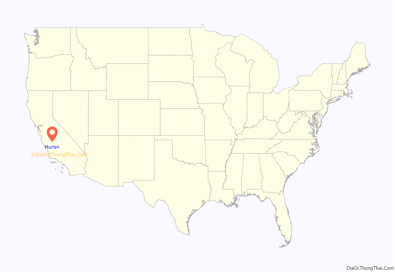
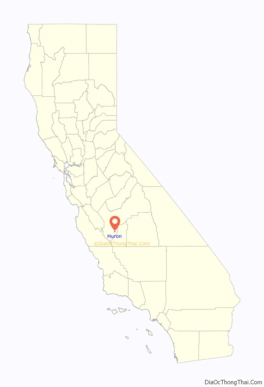
Huron is a small city in Fresno County, California, in the United States. As of the 2010 census, the population was 6,754, up from 6,306 at the 2000 census. During the harvest season, the population swells to over 15,000 people due to the influx of migrant farm workers. Huron is located 15 miles (24 km) east-northeast of Coalinga, at an elevation of 374 feet (114 m). Huron was the city with the highest proportion of Hispanic or Latino people in the United States, according to the 2000 United States Census.
| Name: | Huron city |
|---|---|
| LSAD Code: | 25 |
| LSAD Description: | city (suffix) |
| State: | California |
| County: | Fresno County |
| Incorporated: | May 3, 1951 |
| Elevation: | 374 ft (114 m) |
| Total Area: | 1.60 sq mi (4.14 km²) |
| Land Area: | 1.60 sq mi (4.14 km²) |
| Water Area: | 0.00 sq mi (0.00 km²) 0% |
| Total Population: | 6,754 |
| Population Density: | 4,550.63/sq mi (1,756.58/km²) |
| ZIP code: | 93234 |
| Area code: | 559 |
| FIPS code: | 0636084 |
| Website: | http://cityofhuron.com/ |
Online Interactive Map
Click on ![]() to view map in "full screen" mode.
to view map in "full screen" mode.
Huron location map. Where is Huron city?
History
The community of Huron was founded in 1888 as a water stop along the Southern Pacific Railroad’s western route, approximately 15 miles (24 km) northeast of Coalinga. One of the first structures in the community was the Huron Post Office, which operated from 1877 to 1883 and then from 1886 to the present. Huron became a boomtown in the early 20th century and has grown steadily ever since. During World War II was the site of three training landing strips called Huron Field, West Field and Indian Field, part of Lemoore Army Air Field.
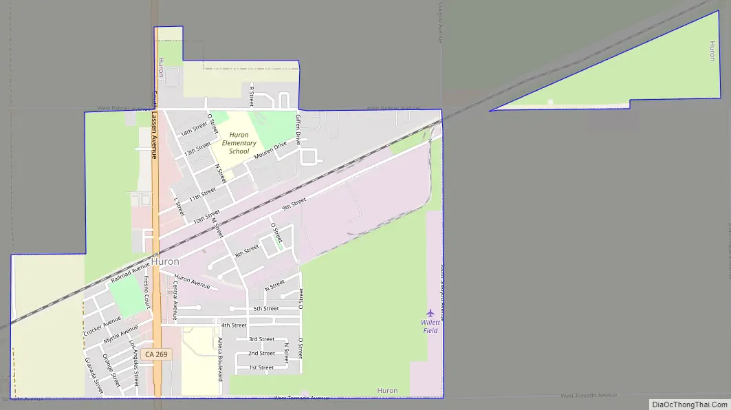
Huron Road Map
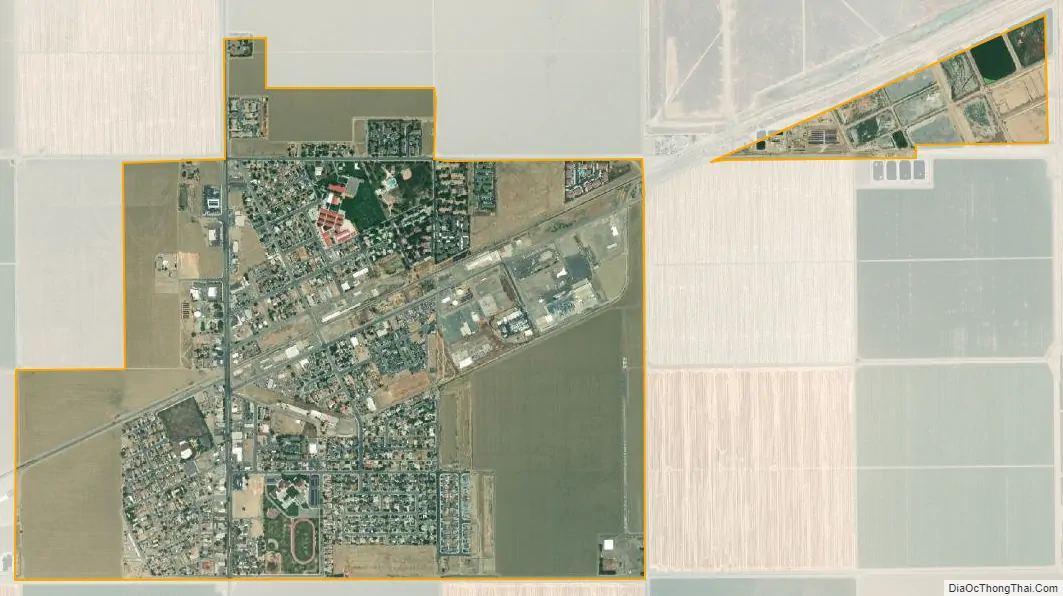
Huron city Satellite Map
Geography
According to the United States Census Bureau, the city has a total area of 1.6 square miles (4.1 km), all of it land.
Climate
According to the Köppen Climate Classification system, Huron has a semi-arid climate, abbreviated “BSk” on climate maps.
See also
Map of California State and its subdivision:- Alameda
- Alpine
- Amador
- Butte
- Calaveras
- Colusa
- Contra Costa
- Del Norte
- El Dorado
- Fresno
- Glenn
- Humboldt
- Imperial
- Inyo
- Kern
- Kings
- Lake
- Lassen
- Los Angeles
- Madera
- Marin
- Mariposa
- Mendocino
- Merced
- Modoc
- Mono
- Monterey
- Napa
- Nevada
- Orange
- Placer
- Plumas
- Riverside
- Sacramento
- San Benito
- San Bernardino
- San Diego
- San Francisco
- San Joaquin
- San Luis Obispo
- San Mateo
- Santa Barbara
- Santa Clara
- Santa Cruz
- Shasta
- Sierra
- Siskiyou
- Solano
- Sonoma
- Stanislaus
- Sutter
- Tehama
- Trinity
- Tulare
- Tuolumne
- Ventura
- Yolo
- Yuba
- Alabama
- Alaska
- Arizona
- Arkansas
- California
- Colorado
- Connecticut
- Delaware
- District of Columbia
- Florida
- Georgia
- Hawaii
- Idaho
- Illinois
- Indiana
- Iowa
- Kansas
- Kentucky
- Louisiana
- Maine
- Maryland
- Massachusetts
- Michigan
- Minnesota
- Mississippi
- Missouri
- Montana
- Nebraska
- Nevada
- New Hampshire
- New Jersey
- New Mexico
- New York
- North Carolina
- North Dakota
- Ohio
- Oklahoma
- Oregon
- Pennsylvania
- Rhode Island
- South Carolina
- South Dakota
- Tennessee
- Texas
- Utah
- Vermont
- Virginia
- Washington
- West Virginia
- Wisconsin
- Wyoming


